Ragnal

Settlement in Berkshire

England

Ragnal

Lane towards Membury
Lane towards Membury Credit: Robin Webster

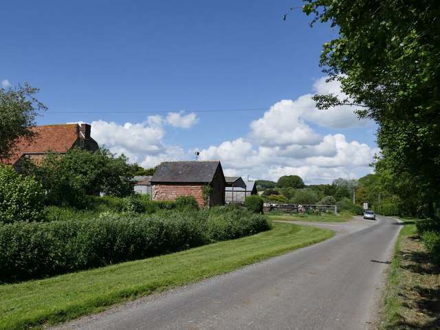
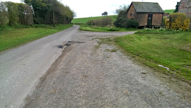
Ragnal is a small village located in the county of Berkshire, England. Situated in the southern part of the county, it lies approximately 10 miles southeast of the town of Reading. Ragnal is known for its picturesque countryside and charming rural atmosphere, making it a popular destination for those seeking a peaceful retreat.

The village is home to a tight-knit community, with a population of around 500 residents. Its history can be traced back to medieval times, and evidence of this can still be seen in the architecture of some of the older buildings. The village church, St. Mary's, is a notable landmark, dating back to the 13th century and showcasing stunning medieval craftsmanship.

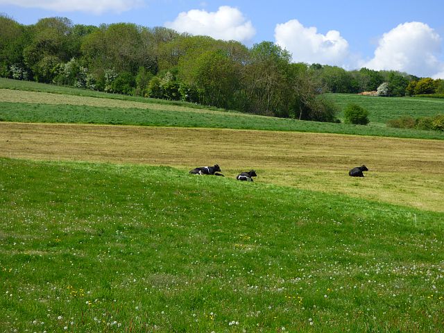
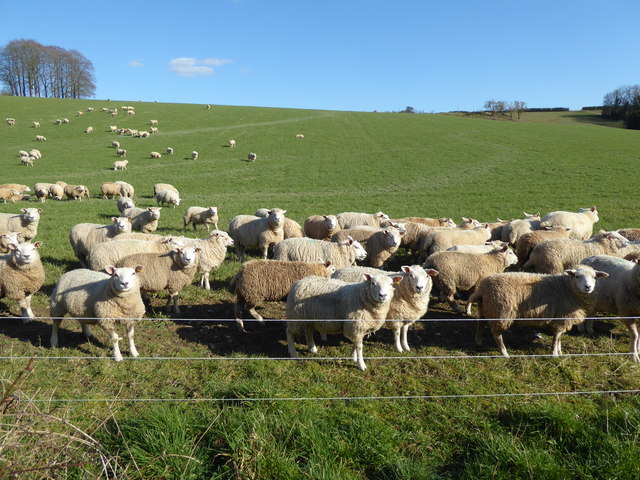
Surrounded by rolling hills and lush green fields, Ragnal offers ample opportunities for outdoor activities such as hiking, cycling, and horse riding. The village is also in close proximity to several nature reserves and parks, providing nature enthusiasts with an abundance of wildlife and flora to explore.

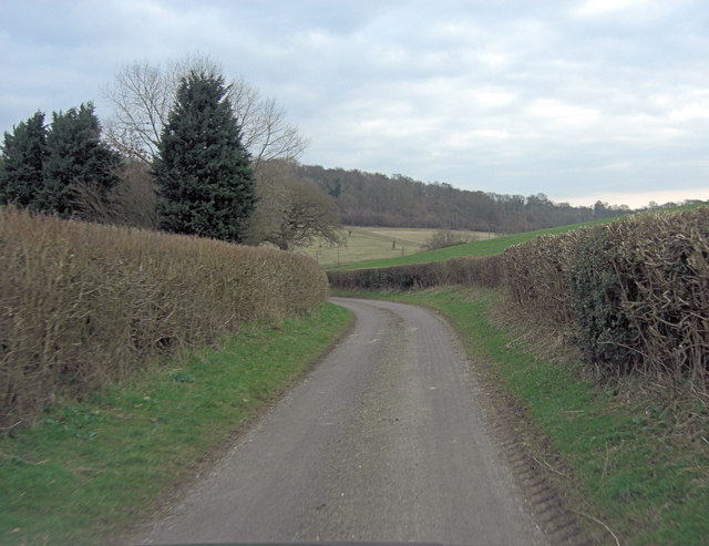
Despite its rural setting, Ragnal benefits from good transport links. The A329 road connects the village to nearby towns and cities, while the nearby Reading railway station offers regular train services to London and other major cities.

Although Ragnal is a small village, it boasts a strong sense of community and offers a range of amenities. These include a local pub, a village hall, a primary school, and a few small shops catering to the everyday needs of its residents. Overall, Ragnal is a charming countryside village that offers a tranquil escape from the hustle and bustle of city life.

If you have any feedback on the listing, please let us know in the comments section below.

Ragnal Images

Images are sourced within 2km of 51.455137/-1.5552366 or Grid Reference SU3173. Thanks to Geograph Open Source API. All images are credited.

Lane towards Membury
The Builders Are In The start of a tree lined drive to Eastridge House.
Whatever's going on up there must be quite substantial if the contractors have gone to all this trouble on what's just the site entrance.
The Builders Are In
The start of a tree lined drive to Eastridge House. Whatever's going on up there must be quite substantial if the contractors have gone to all this trouble on what's just the site entrance.
Masts near Whittonditch
Field entrance in Whittonditch
Tree in Whittonditch
Pasture, Ramsbury The hillside rising to the west of Witcha whilst most of the herd were in for milking.
Pasture, Ramsbury
The hillside rising to the west of Witcha whilst most of the herd were in for milking.
Witcha Farm
Witcha Farm
Whittonside Farm All very spruce - stables and residential conversions, by the look of things.  

One of Andrew Smith's contributions shows the site as seen from the hillside above: <a title="https://www.geograph.org.uk/photo/257519" href="https://www.geograph.org.uk/photo/257519">Link</a>
Whittonside Farm
All very spruce - stables and residential conversions, by the look of things. One of Andrew Smith's contributions shows the site as seen from the hillside above: Link
Sheep near Witcha Copse A tumulus can be seen near the horizon on the right.
Sheep near Witcha Copse
A tumulus can be seen near the horizon on the right.
Kissing gate, Oaken Coppice The new kissing gate is at Oaken Coppice and gives access to the footpath that takes walkers towards Queen's Coppice.

The kissing gate is a traditional gate hung in a U or V shape that allows one person to pass at a time. In order for one person to pass fully through the gate they have to close it on the next person. Legend has it that at this point, when the two are on either side of the gate, the person in front ‘refuses’ entry to the second person until presented with a kiss.
Kissing gate, Oaken Coppice
The new kissing gate is at Oaken Coppice and gives access to the footpath that takes walkers towards Queen's Coppice. The kissing gate is a traditional gate hung in a U or V shape that allows one person to pass at a time. In order for one person to pass fully through the gate they have to close it on the next person. Legend has it that at this point, when the two are on either side of the gate, the person in front ‘refuses’ entry to the second person until presented with a kiss.
Woodland boundary, Oaken Coppice The footpath to Queen's Coppice follows the boundary of the woodland before entering the woodland.
Woodland boundary, Oaken Coppice
The footpath to Queen's Coppice follows the boundary of the woodland before entering the woodland.
New hedge, Whittonditch Many of our hedge rows have been lost in recent decades as agricultural practice favoured larger and larger fields to cultivate. There are now grants available to farmers to replant hedgerows, where before, ironically, there were grants to grub them out!
New hedge, Whittonditch
Many of our hedge rows have been lost in recent decades as agricultural practice favoured larger and larger fields to cultivate. There are now grants available to farmers to replant hedgerows, where before, ironically, there were grants to grub them out!
Kissing gate near Whittonditch The new kissing gate gives walkers access to the footpath to the village of Whittonditch.

The kissing gate is a traditional gate hung in a U or V shape that allows one person to pass at a time. In order for one person to pass fully through the gate they have to close it on the next person. Legend has it that at this point, when the two are on either side of the gate, the person in front ‘refuses’ entry to the second person until presented with a kiss.
Kissing gate near Whittonditch
The new kissing gate gives walkers access to the footpath to the village of Whittonditch. The kissing gate is a traditional gate hung in a U or V shape that allows one person to pass at a time. In order for one person to pass fully through the gate they have to close it on the next person. Legend has it that at this point, when the two are on either side of the gate, the person in front ‘refuses’ entry to the second person until presented with a kiss.
Footpath near Whittonditch The footpath crosses arable fields to the village of Whittonditch.
Footpath near Whittonditch
The footpath crosses arable fields to the village of Whittonditch.
Kissing gate near Whittonditch The new kissing gate gives walkers access to the footpath to the village of Whittonditch.
Kissing gate near Whittonditch
The new kissing gate gives walkers access to the footpath to the village of Whittonditch.
Un-named lane beside Witcha Copse
Un-named lane north of Witcha Farm
Road past Witcha Farm, Whittonditch The narrow road leads to the B4192 road between Aldbourne and Hungerford.
Road past Witcha Farm, Whittonditch
The narrow road leads to the B4192 road between Aldbourne and Hungerford.
Show me another place!

Ragnal is located at Grid Ref: SU3173 (Lat: 51.455137, Lng: -1.5552366)

Unitary Authority: West Berkshire

Police Authority: Thames Valley

What 3 Words

///claps.storyline.shun. Near Chilton Foliat, Wiltshire

Related Wikis

Membury Camp

Membury Camp, or Membury Fort, is the site of an Iron Age hill fort located on the borders of Wiltshire and Berkshire, (the county line divides the site...

Littlecote House

Littlecote House is a large Elizabethan country house and estate in the civil parishes of Ramsbury and Chilton Foliat, in the English county of Wiltshire...

Chilton Foliat Meadows

Chilton Foliat Meadows (grid reference SU315703) is a 54.6 hectare biological Site of Special Scientific Interest in the civil parish of Chilton Foliat...

Chilton Foliat

Chilton Foliat is a village and civil parish on the River Kennet in Wiltshire, England. The parish is in the North Wessex Downs Area of Outstanding Natural...

Nearby Amenities

Located within 500m of 51.455137,-1.5552366
Power: pole
Lat/Long: 51.4535021/-1.5549812
Power: pole
Lat/Long: 51.4525494/-1.5534523
Power: pole
Lat/Long: 51.4516251/-1.5519248
The data included in this document is from www.openstreetmap.org. The data is made available under ODbL.

Have you been to Ragnal?

Leave your review of Ragnal below (or comments, questions and feedback).