Ragnal Firs

Wood, Forest in Berkshire

England

Ragnal Firs

Witcha Farm
Witcha Farm Credit: Stefan Czapski

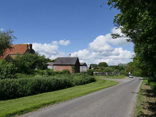
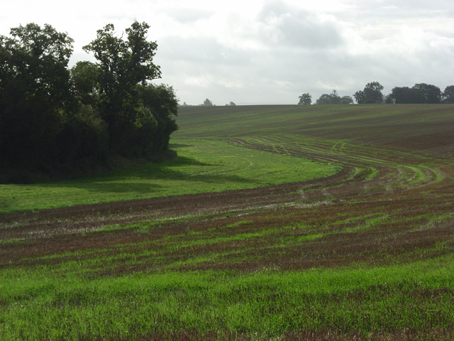
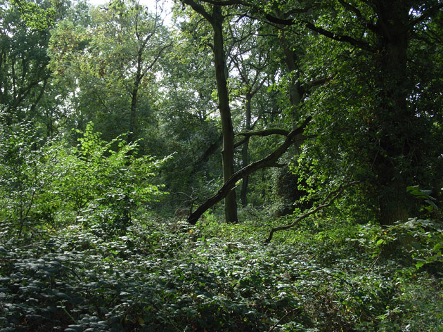
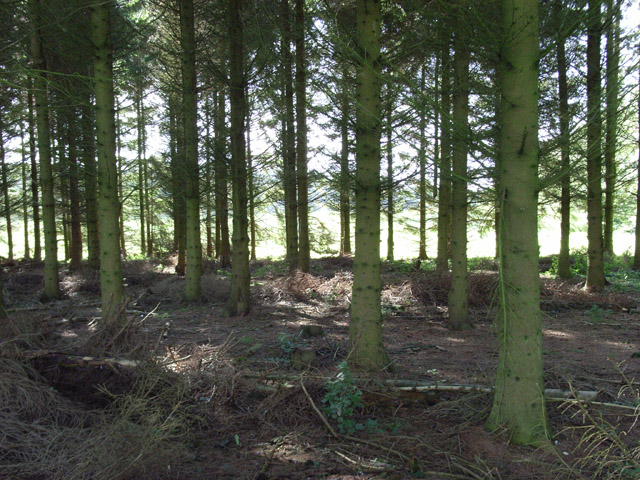
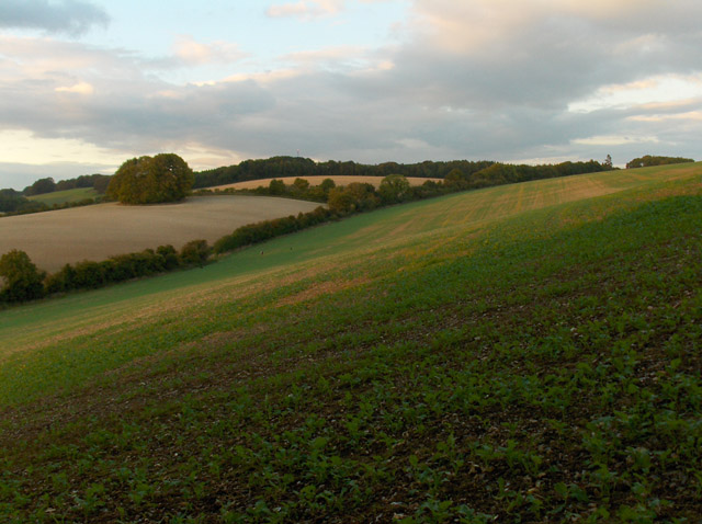
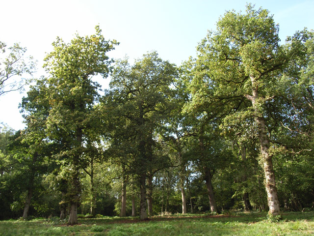
Ragnal Firs, located in the county of Berkshire, England, is a picturesque woodland area known for its stunning natural beauty and rich biodiversity. Nestled within the heart of the county, Ragnal Firs boasts a diverse range of tree species, including fir trees, which give the forest its distinctive name.

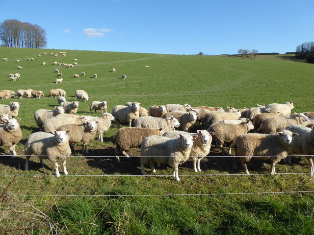
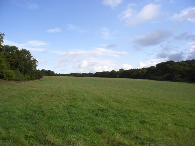
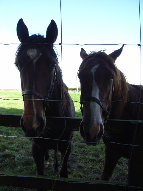
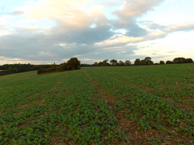
Covering a vast area of approximately 500 acres, Ragnal Firs offers a peaceful and tranquil environment for nature enthusiasts and outdoor adventurers alike. The forest is a haven for wildlife, with a wide array of animals and birds calling it their home. Visitors may spot roe deer, foxes, badgers, and a variety of bird species, including woodpeckers and owls.

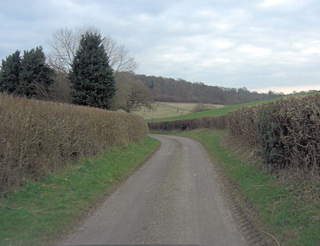
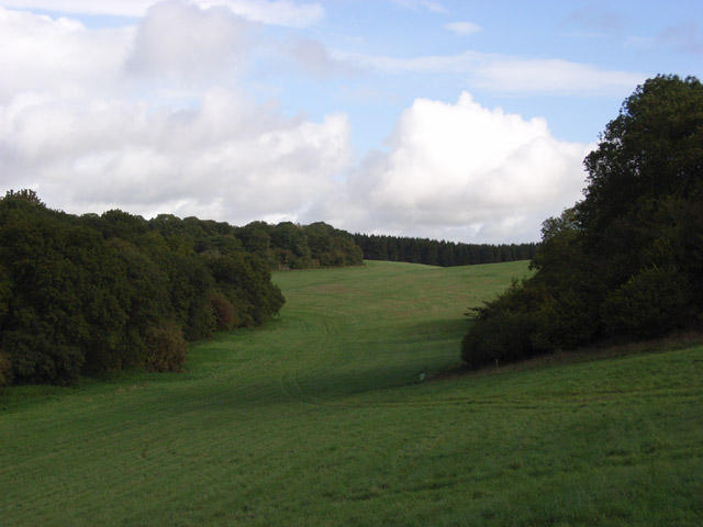
The woodland is intersected by a network of walking trails, providing visitors with the opportunity to explore and immerse themselves in the natural splendor of Ragnal Firs. These trails cater to all levels of fitness and are suitable for both leisurely strolls and more challenging hikes.

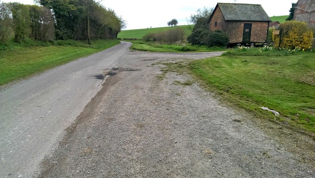
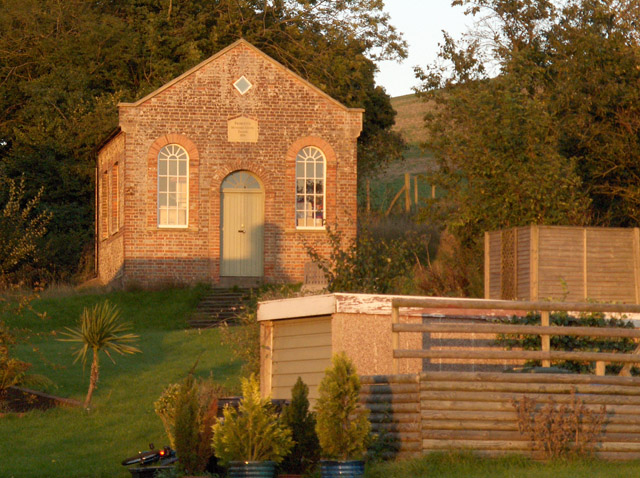
In addition to its natural beauty, Ragnal Firs also holds historical significance. The forest was once part of the ancient royal hunting grounds, dating back to medieval times. Today, remnants of these historical connections can still be seen, including the remains of an old hunting lodge.

Ragnal Firs is a popular destination for nature lovers, hikers, and families seeking a day out in the great outdoors. Its combination of stunning landscapes, diverse wildlife, and historical charm make it a must-visit location for anyone looking to experience the natural wonders of Berkshire.

If you have any feedback on the listing, please let us know in the comments section below.

Ragnal Firs Images

Images are sourced within 2km of 51.459468/-1.5450327 or Grid Reference SU3173. Thanks to Geograph Open Source API. All images are credited.

Witcha Farm
Witcha Farm
Sheep near Witcha Copse A tumulus can be seen near the horizon on the right.
Sheep near Witcha Copse
A tumulus can be seen near the horizon on the right.
Un-named lane north of Witcha Farm
Road past Witcha Farm, Whittonditch The narrow road leads to the B4192 road between Aldbourne and Hungerford.
Road past Witcha Farm, Whittonditch
The narrow road leads to the B4192 road between Aldbourne and Hungerford.
Wiltshire Bottom The top of a dry valley on the Wiltshire/West Berkshire border. The trees in the foreground mark the boundary, and all that can be seen is Wiltshire.
Wiltshire Bottom
The top of a dry valley on the Wiltshire/West Berkshire border. The trees in the foreground mark the boundary, and all that can be seen is Wiltshire.
Crooked Cottage, Crooked Soley The southernmost residence in the hamlet. Looking down the lane as it begins its descent to the Kennet valley.
Crooked Cottage, Crooked Soley
The southernmost residence in the hamlet. Looking down the lane as it begins its descent to the Kennet valley.
Grass and woodland near Eastridge House From the edge of Balaam Wood. The woodland on the right runs in a strip up the floor of the valley.
Grass and woodland near Eastridge House
From the edge of Balaam Wood. The woodland on the right runs in a strip up the floor of the valley.
Wooded valley near Crooked Soley Lush grassland threaded between woods like golf course fairways. The only shots taken around here are likely to be aimed at gamebirds though.
Wooded valley near Crooked Soley
Lush grassland threaded between woods like golf course fairways. The only shots taken around here are likely to be aimed at gamebirds though.
Bower Wood Very overgrown with brambles and nettles.
Bower Wood
Very overgrown with brambles and nettles.
Conifers, Crooked Soley A narrow strip of trees extending west from Bower Wood.
Conifers, Crooked Soley
A narrow strip of trees extending west from Bower Wood.
Residents of the Raffin Stud The stud farm is in the grid-square to the north. These two came over to see me as I walked along its southern boundary.
Residents of the Raffin Stud
The stud farm is in the grid-square to the north. These two came over to see me as I walked along its southern boundary.
West Soley Farm Cottages Alongside the footpath from Eastridge Farm.
West Soley Farm Cottages
Alongside the footpath from Eastridge Farm.
Wood, Membury Farm Looking across from the footpath, just north of the farm.
Wood, Membury Farm
Looking across from the footpath, just north of the farm.
Membury Farm On the public footpath leading from the hill-fort.
Membury Farm
On the public footpath leading from the hill-fort.
Farmland above Witcha Looking north from the northern end of Oaken Coppice. A public footpath crosses this field of rape. The lane to Membury is in the valley below. Beyond that is a prominent clump of trees just outside of the grid-square.
Farmland above Witcha
Looking north from the northern end of Oaken Coppice. A public footpath crosses this field of rape. The lane to Membury is in the valley below. Beyond that is a prominent clump of trees just outside of the grid-square.
Farmland above Witcha In the middle of a large rape field to the north of Eastridge Farm.
Farmland above Witcha
In the middle of a large rape field to the north of Eastridge Farm.
Former chapel, Witcha
Briary Wood Oaks in Wiltshire.
Briary Wood
Oaks in Wiltshire.
Show me another place!

Ragnal Firs is located at Grid Ref: SU3173 (Lat: 51.459468, Lng: -1.5450327)

Unitary Authority: West Berkshire

Police Authority: Thames Valley

What 3 Words

///sublime.divisions.custodian. Near Chilton Foliat, Wiltshire

Related Wikis

1991 M4 motorway crash

On 13 March 1991, a multiple-vehicle collision occurred during foggy conditions on the eastbound carriageway of the M4 motorway near Hungerford, Berkshire...

Lambourn Woodlands

Lambourn Woodlands is a hamlet in the English county of Berkshire. The village is situated in the civil parish of Lambourn, and is 2 miles (3.2 km) to...

St Mary's Church, Lambourn Woodlands

St Mary's Church is a redundant Anglican church in the hamlet of Lambourn Woodlands in the English county of Berkshire. It is recorded in the National...

Membury Camp

Membury Camp, or Membury Fort, is the site of an Iron Age hill fort located on the borders of Wiltshire and Berkshire, (the county line divides the site...

Have you been to Ragnal Firs?

Leave your review of Ragnal Firs below (or comments, questions and feedback).