Wiltshire Bottom

Valley in Berkshire

England

Wiltshire Bottom

Un-named lane north of Witcha Farm
Un-named lane north of Witcha Farm Credit: Stuart Logan

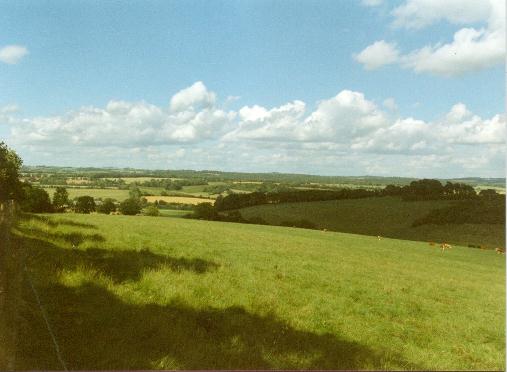
Wiltshire Bottom, Berkshire, also known as Wiltshire Bottom Valley, is a picturesque area located in the county of Berkshire, England. Situated in the southwestern part of the county, it is nestled between the rolling hills of the North Wessex Downs and the charming village of Lambourn.

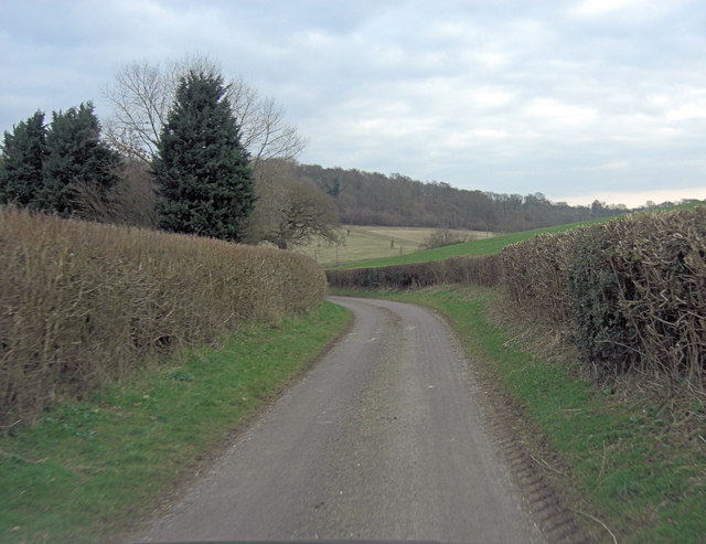
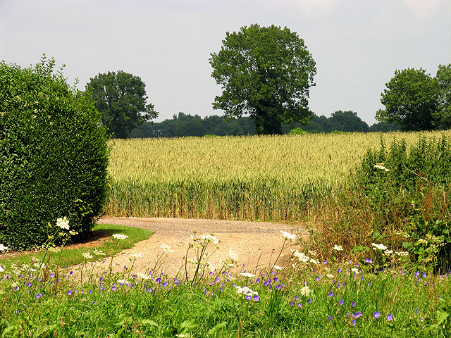
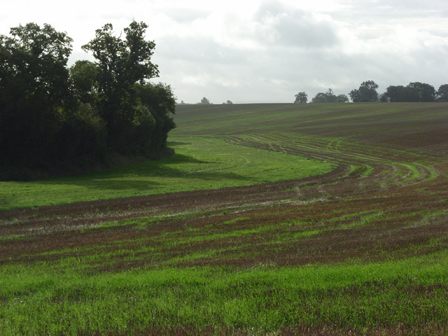
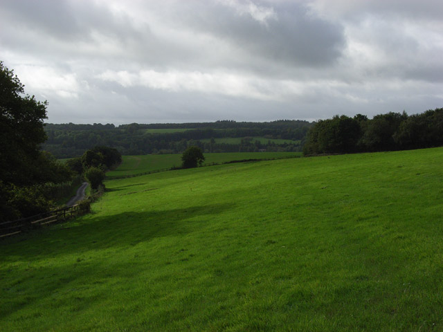
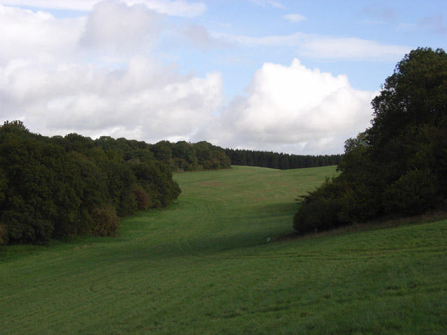
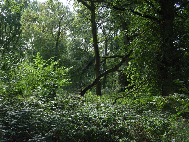
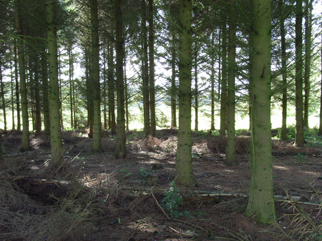
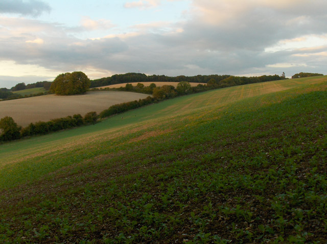
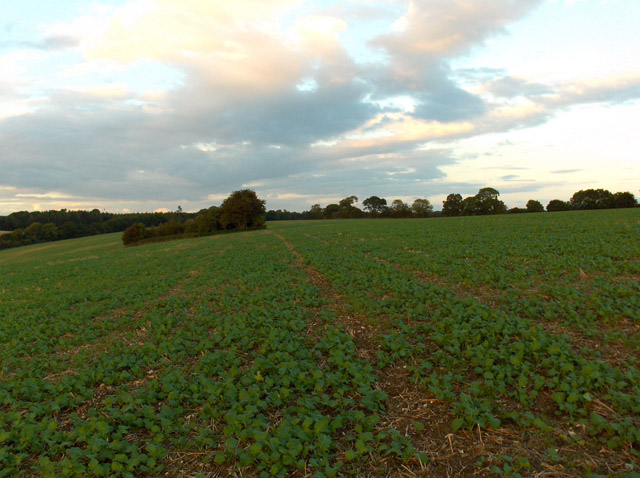
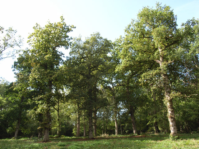
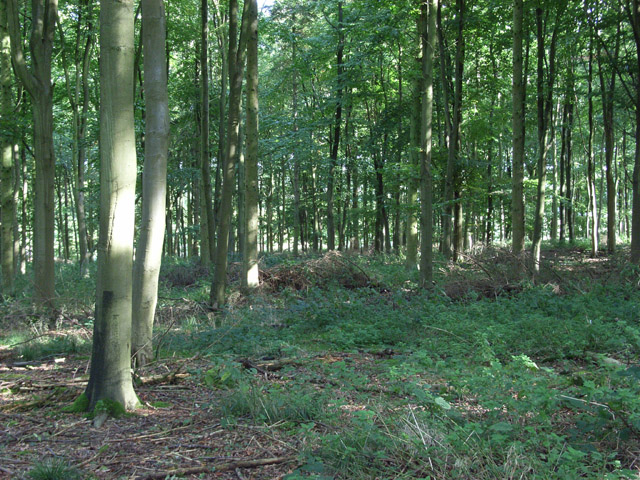
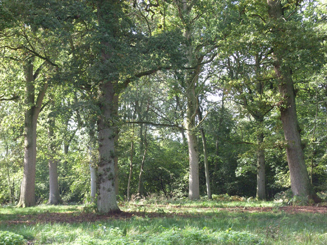
The valley is characterized by its lush green fields, meadows, and woodlands, offering a stunning natural landscape. It is traversed by the River Lambourn, a major watercourse in the region, which adds to the beauty of the area. The river meanders through the valley, providing a serene and tranquil atmosphere.

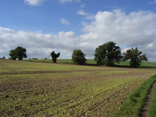
Wiltshire Bottom is renowned for its rich agricultural heritage and is predominantly used for farming purposes. The fertile soil of the valley supports a variety of crops, including wheat, barley, and oats, making it an important agricultural area in Berkshire.

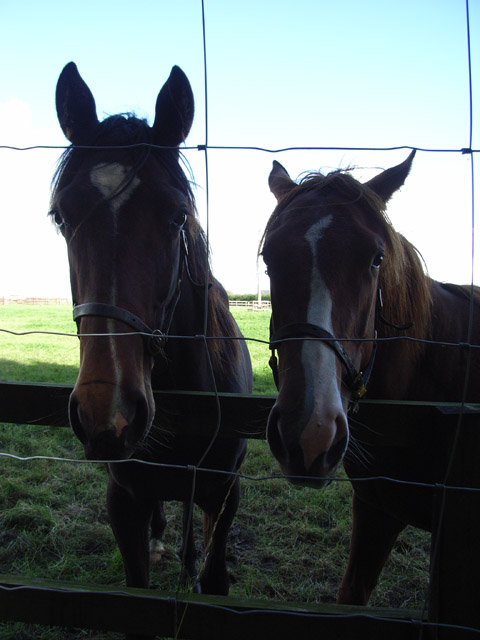
The valley is also home to a diverse range of wildlife, with numerous species of birds, mammals, and insects found in the area. It is a popular spot for birdwatching enthusiasts, who can often spot species such as red kites and barn owls soaring above the landscape.

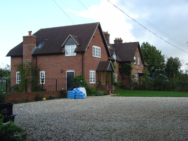
The proximity of Wiltshire Bottom to Lambourn makes it an attractive destination for outdoor activities and recreational pursuits. The valley offers several walking and cycling trails, allowing visitors to explore the idyllic countryside and enjoy the breathtaking views.

Overall, Wiltshire Bottom, Berkshire, is a picturesque and tranquil valley, offering a perfect escape from the hustle and bustle of city life. Its natural beauty, agricultural significance, and recreational opportunities make it a delightful destination for both locals and tourists alike.

If you have any feedback on the listing, please let us know in the comments section below.

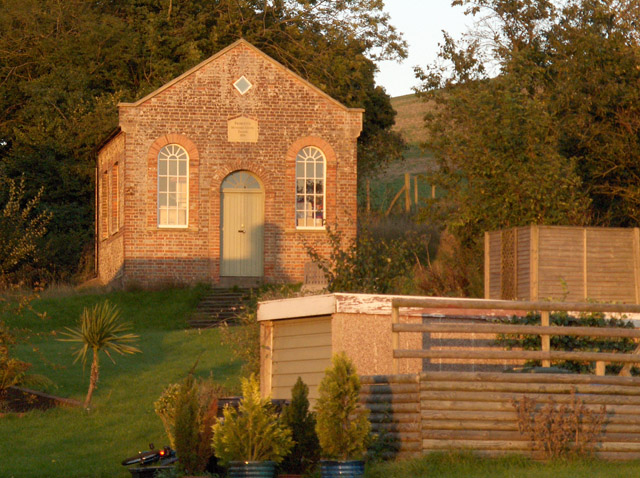
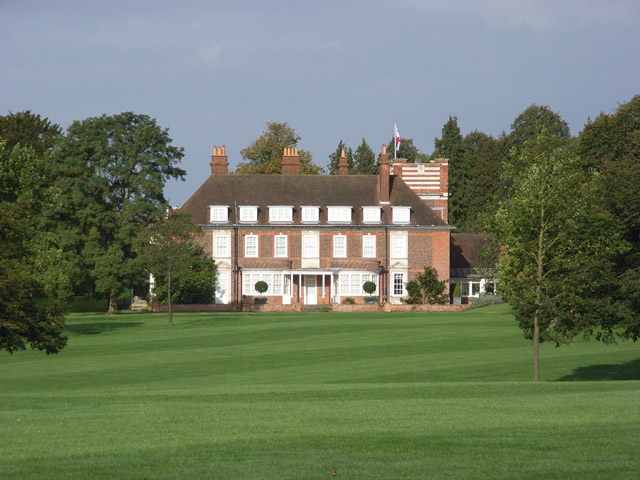
Wiltshire Bottom Images

Images are sourced within 2km of 51.457956/-1.5423706 or Grid Reference SU3173. Thanks to Geograph Open Source API. All images are credited.

Un-named lane north of Witcha Farm
Farmland at Woodlands St Mary This farmland is in the north eastern section of the square on the northern side of the B4000 looking east.
Farmland at Woodlands St Mary
This farmland is in the north eastern section of the square on the northern side of the B4000 looking east.
Wiltshire Bottom The top of a dry valley on the Wiltshire/West Berkshire border. The trees in the foreground mark the boundary, and all that can be seen is Wiltshire.
Wiltshire Bottom
The top of a dry valley on the Wiltshire/West Berkshire border. The trees in the foreground mark the boundary, and all that can be seen is Wiltshire.
Crooked Cottage, Crooked Soley The southernmost residence in the hamlet. Looking down the lane as it begins its descent to the Kennet valley.
Crooked Cottage, Crooked Soley
The southernmost residence in the hamlet. Looking down the lane as it begins its descent to the Kennet valley.
Below Crooked Soley Grazing for horses (there is a lot of that around here) between Daffy Copse and the lane descending to the Kennet valley opposite Littlecote.
Below Crooked Soley
Grazing for horses (there is a lot of that around here) between Daffy Copse and the lane descending to the Kennet valley opposite Littlecote.
Wooded valley near Crooked Soley Lush grassland threaded between woods like golf course fairways. The only shots taken around here are likely to be aimed at gamebirds though.
Wooded valley near Crooked Soley
Lush grassland threaded between woods like golf course fairways. The only shots taken around here are likely to be aimed at gamebirds though.
Bower Wood Very overgrown with brambles and nettles.
Bower Wood
Very overgrown with brambles and nettles.
Conifers, Crooked Soley A narrow strip of trees extending west from Bower Wood.
Conifers, Crooked Soley
A narrow strip of trees extending west from Bower Wood.
Residents of the Raffin Stud The stud farm is in the grid-square to the north. These two came over to see me as I walked along its southern boundary.
Residents of the Raffin Stud
The stud farm is in the grid-square to the north. These two came over to see me as I walked along its southern boundary.
West Soley Farm Cottages Alongside the footpath from Eastridge Farm.
West Soley Farm Cottages
Alongside the footpath from Eastridge Farm.
Farmland above Witcha Looking north from the northern end of Oaken Coppice. A public footpath crosses this field of rape. The lane to Membury is in the valley below. Beyond that is a prominent clump of trees just outside of the grid-square.
Farmland above Witcha
Looking north from the northern end of Oaken Coppice. A public footpath crosses this field of rape. The lane to Membury is in the valley below. Beyond that is a prominent clump of trees just outside of the grid-square.
Farmland above Witcha In the middle of a large rape field to the north of Eastridge Farm.
Farmland above Witcha
In the middle of a large rape field to the north of Eastridge Farm.
Former chapel, Witcha
Inholmes House Dates back to 1905.
Inholmes House
Dates back to 1905.
Briary Wood Oaks in Wiltshire.
Briary Wood
Oaks in Wiltshire.
Briary Wood Mostly beeches in Berkshire.
Briary Wood
Mostly beeches in Berkshire.
Briary Wood This part, the Wiltshire side, is more sparingly wooded and has more mature trees.
Briary Wood
This part, the Wiltshire side, is more sparingly wooded and has more mature trees.
Farmland, Straight Soley The trees are by the B4001.
Farmland, Straight Soley
The trees are by the B4001.
Show me another place!

Wiltshire Bottom is located at Grid Ref: SU3173 (Lat: 51.457956, Lng: -1.5423706)

Unitary Authority: West Berkshire

Police Authority: Thames Valley

What 3 Words

///eggplants.pool.fingertip. Near Chilton Foliat, Wiltshire

Related Wikis

1991 M4 motorway crash

On 13 March 1991, a multiple-vehicle collision occurred during foggy conditions on the eastbound carriageway of the M4 motorway near Hungerford, Berkshire...

St Mary's Church, Lambourn Woodlands

St Mary's Church is a redundant Anglican church in the hamlet of Lambourn Woodlands in the English county of Berkshire. It is recorded in the National...

North Wessex Downs

The North Wessex Downs Area of Outstanding Natural Beauty (AONB) is located in the English counties of Berkshire, Hampshire, Oxfordshire and Wiltshire...

Lambourn Woodlands

Lambourn Woodlands is a hamlet in the English county of Berkshire. The village is situated in the civil parish of Lambourn, and is 2 miles (3.2 km) to...

Have you been to Wiltshire Bottom?

Leave your review of Wiltshire Bottom below (or comments, questions and feedback).