Addiewell
Settlement in Midlothian
Scotland
Addiewell
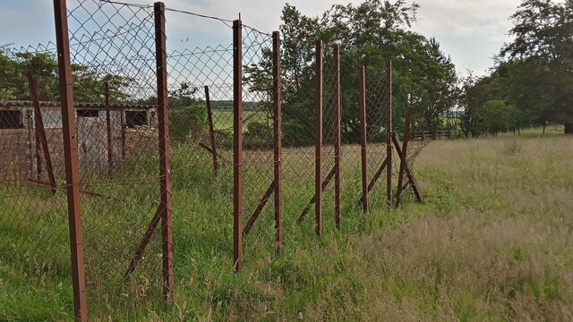
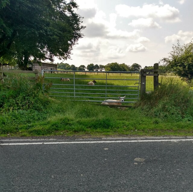
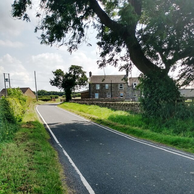
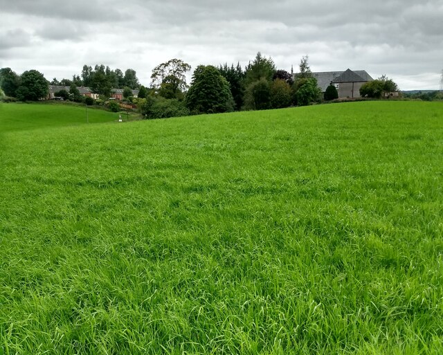
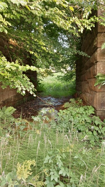
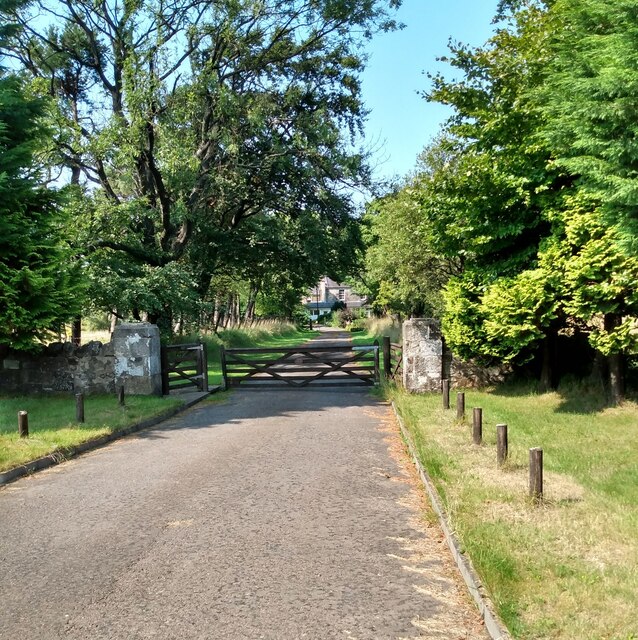
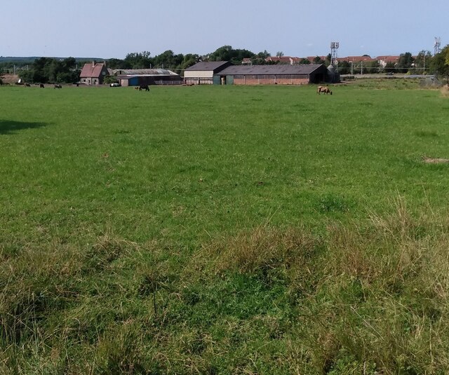
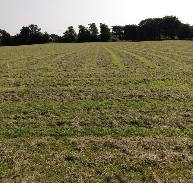
Addiewell is a small village located in the county of Midlothian, Scotland. Situated approximately 20 miles west of Edinburgh, it is part of the larger West Lothian region. The village is nestled in a rural area surrounded by beautiful countryside, offering residents a tranquil and picturesque setting.
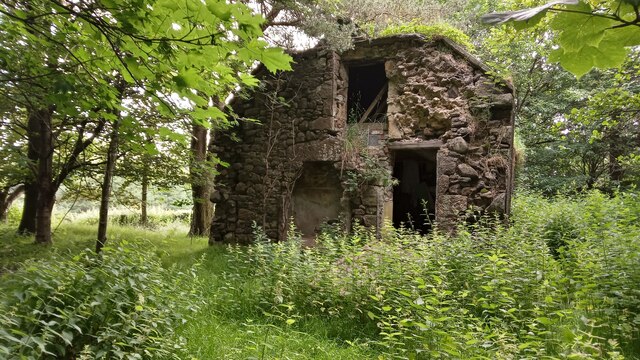
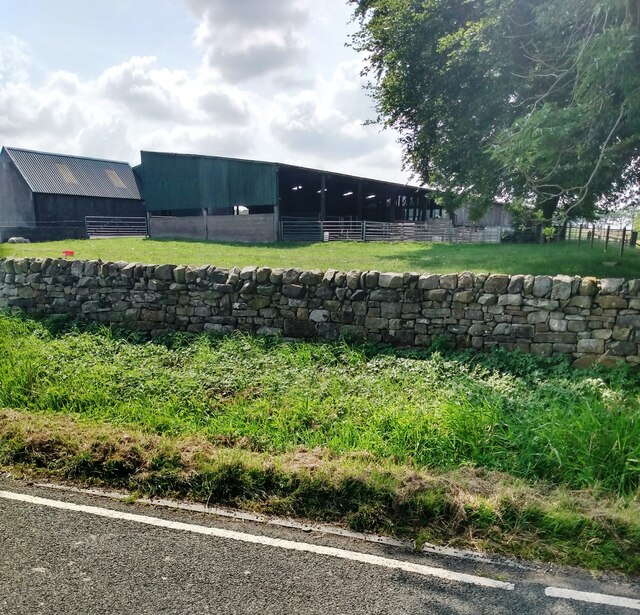
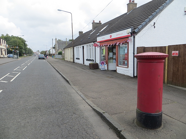
Originally a mining village in the 19th and early 20th centuries, Addiewell has undergone significant changes over the years. Today, it is primarily a residential area with a mix of traditional stone-built cottages and more modern housing developments. The village has a close-knit community, and residents benefit from a range of local amenities, including a primary school, a community center, and a small number of shops and services.
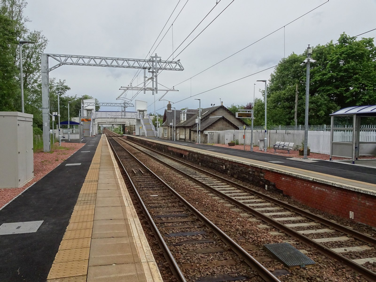
Transport links are convenient, with regular bus services connecting Addiewell to nearby towns and cities. The village is also served by its own railway station, providing direct access to Edinburgh and Glasgow, making it an attractive location for commuters.
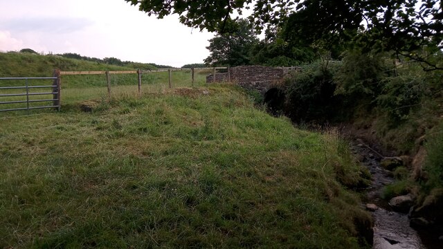
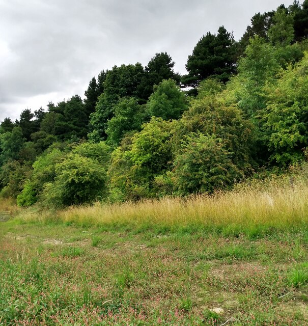
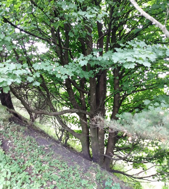
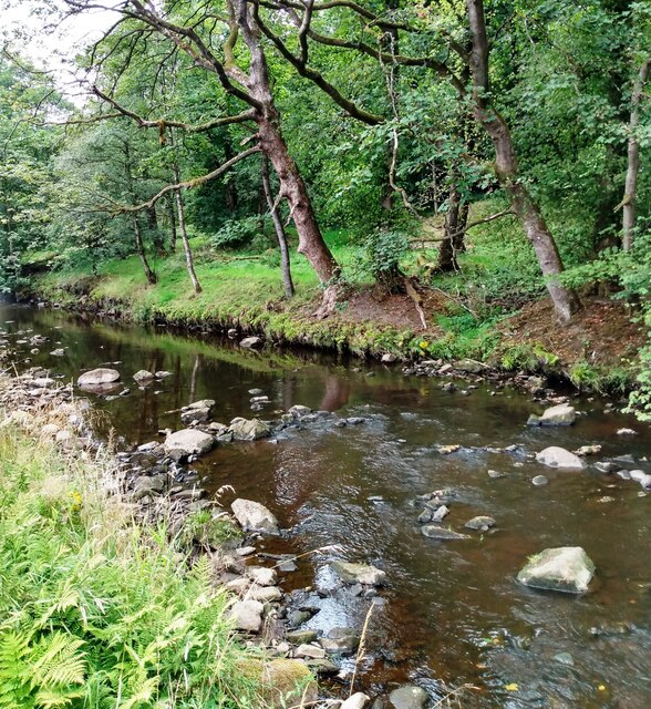
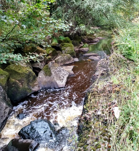
Nature enthusiasts can enjoy the nearby country parks and walking trails, such as Polkemmet Country Park, which offers stunning scenery and recreational activities. Additionally, Addiewell is within easy reach of the Pentland Hills Regional Park, providing opportunities for outdoor pursuits such as hiking, cycling, and wildlife spotting.
In conclusion, Addiewell is a charming village in Midlothian, Scotland, offering residents a peaceful lifestyle, beautiful surroundings, and convenient access to nearby urban areas.
If you have any feedback on the listing, please let us know in the comments section below.
Addiewell Images
Images are sourced within 2km of 55.847507/-3.60838 or Grid Reference NS9962. Thanks to Geograph Open Source API. All images are credited.
Addiewell is located at Grid Ref: NS9962 (Lat: 55.847507, Lng: -3.60838)
Unitary Authority: West Lothian
Police Authority: The Lothians and Scottish Borders
What 3 Words
///highlight.recording.spending. Near Addiebrownhill, West Lothian
Nearby Locations
Related Wikis

Addiewell
Addiewell (Scots: Aidieswall, Scottish Gaelic: Tobar Adaidh) is a former mining village in the Scottish council area of West Lothian. Historically it lies...
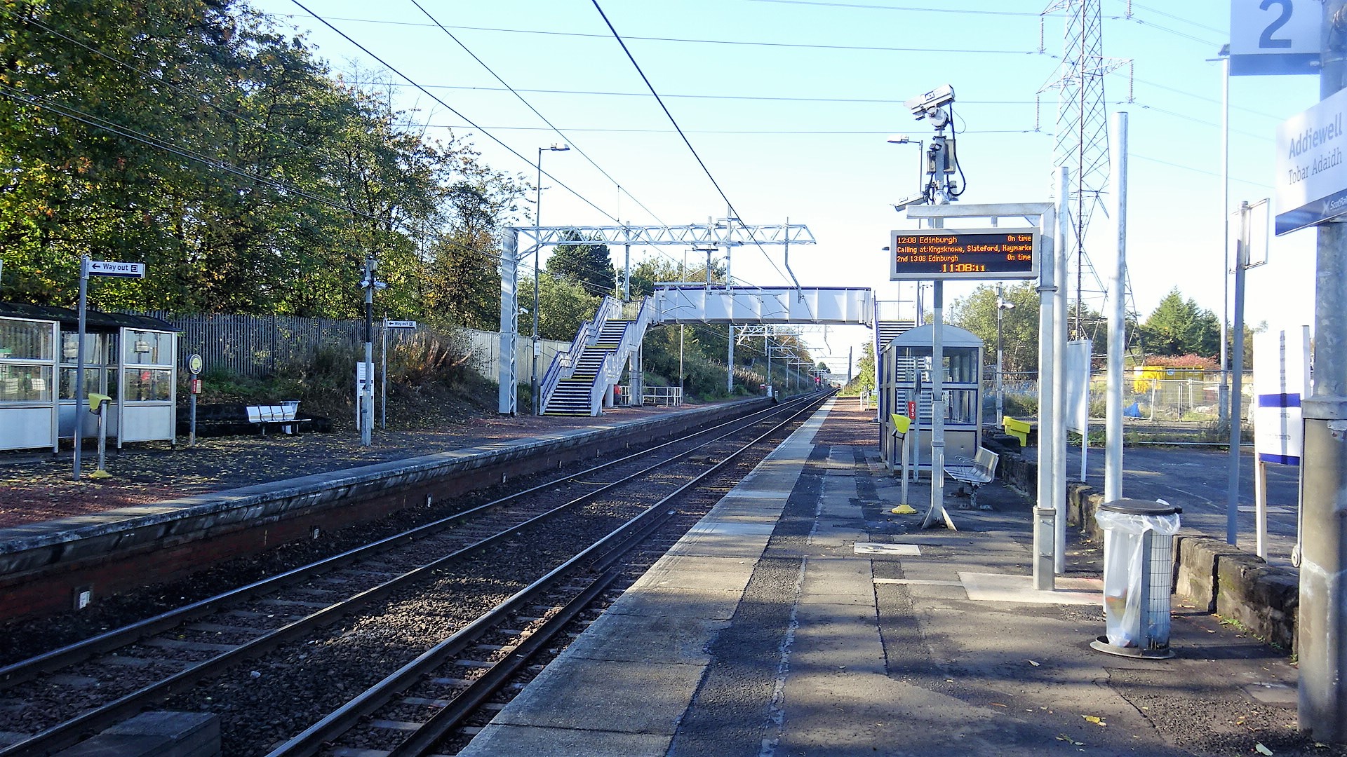
Addiewell railway station
Addiewell railway station is a railway station serving Addiewell in West Lothian, Scotland. It is located on the Shotts Line from Glasgow Central to Edinburgh...
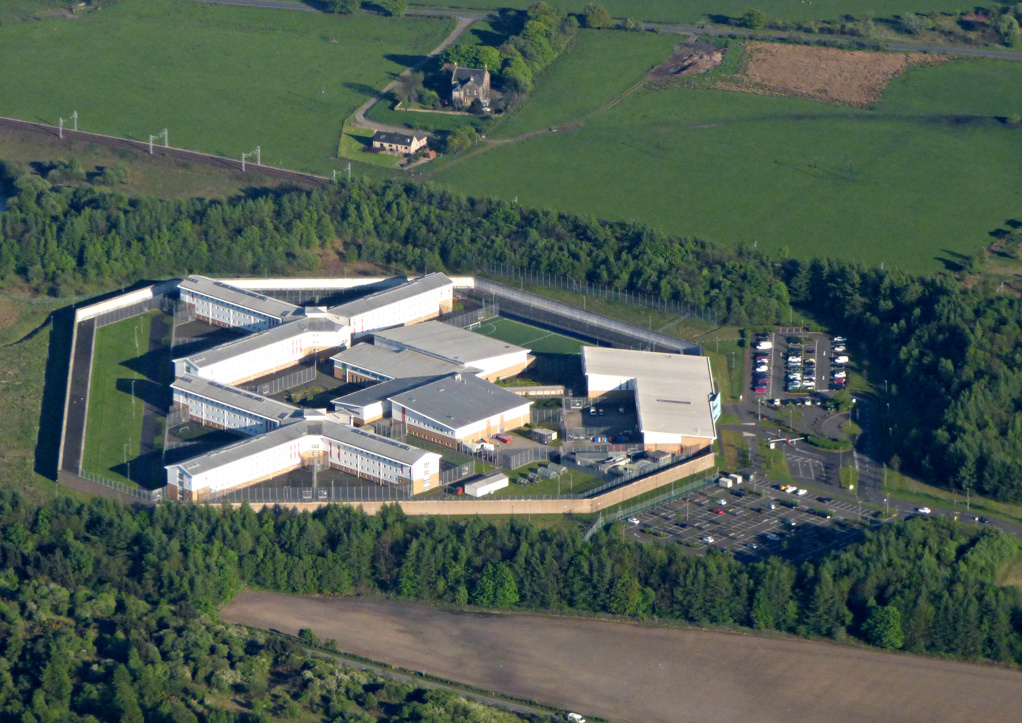
HM Prison Addiewell
HMP Addiewell is a private prison located near to the village of Addiewell in West Lothian, Scotland. HMP Addiewell is operated by Sodexo Justice Services...
Stoneyburn
Stoneyburn is a village in West Lothian, Scotland. Nearby towns include Bathgate, Whitburn, Addiewell and Blackburn. == Geography == Stoneyburn is situated...
Burngrange mining disaster
Burngrange is an area of the Scottish village West Calder. Situated at the far west of the village it mainly consists of housing constructed for the areas...

Foulshiels railway station
Foulshiels railway station served the town of Bathgate, West Lothian, Scotland, from 1850 to 1852 on the Longridge and Bathgate Extension Railway. ��2...

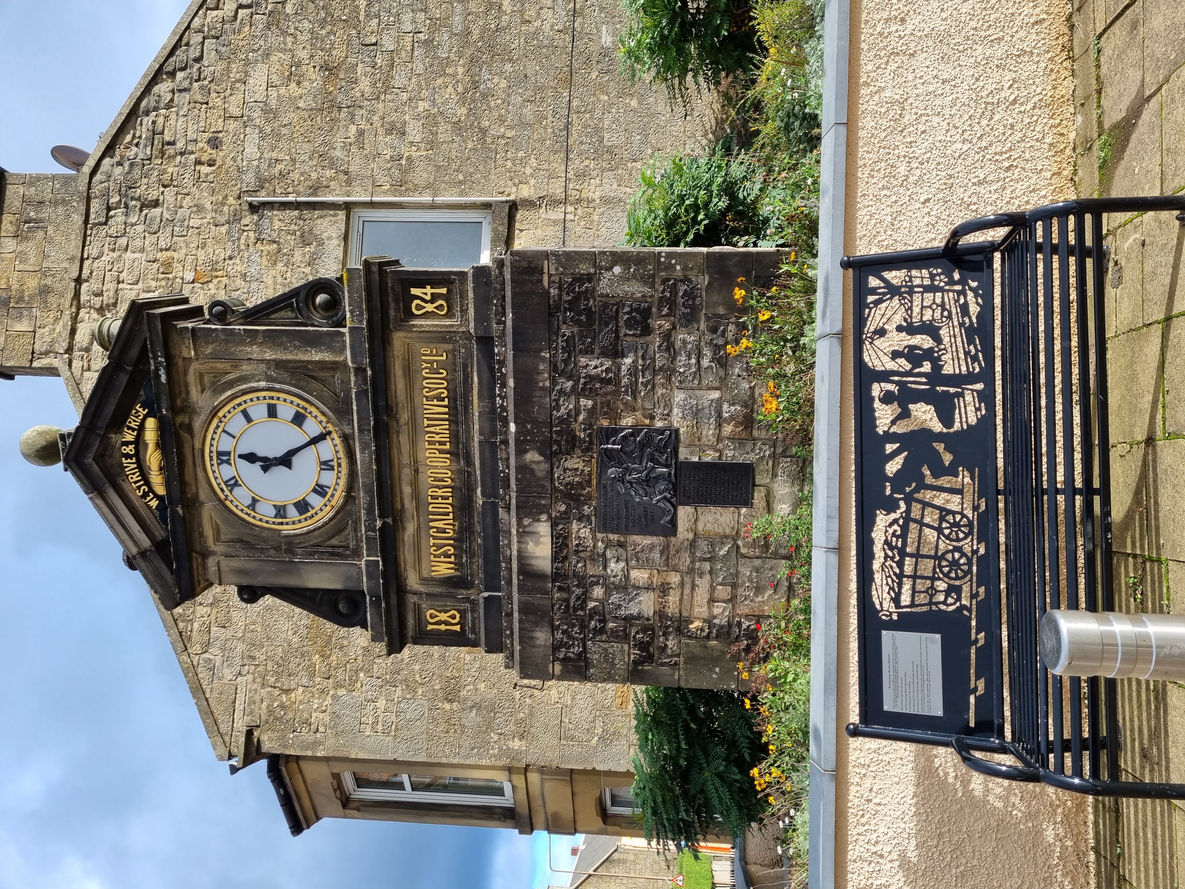
West Calder
West Calder (Scots: Wast Cauder, Scottish Gaelic: Caladar an Iar) is a village in the council area of West Lothian, Scotland, located four miles west of...
West Calder railway station
West Calder railway station is a railway station serving West Calder in West Lothian, Scotland. It is located on the Shotts Line, 17 miles (28 km) west...
Nearby Amenities
Located within 500m of 55.847507,-3.60838Have you been to Addiewell?
Leave your review of Addiewell below (or comments, questions and feedback).