Addiebrownhill
Settlement in Midlothian
Scotland
Addiebrownhill
Addiebrownhill is a small village located in Midlothian, Scotland. Situated approximately 10 miles southeast of the city of Edinburgh, it is nestled within the picturesque countryside of the region. The village is part of the wider community council area of Bilston, which encompasses several surrounding rural settlements.
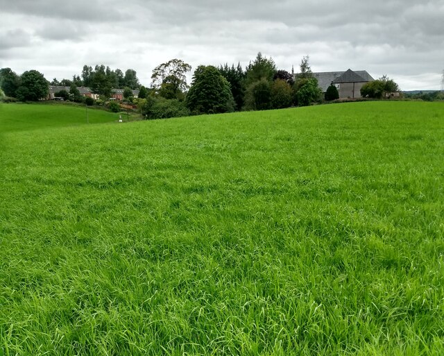
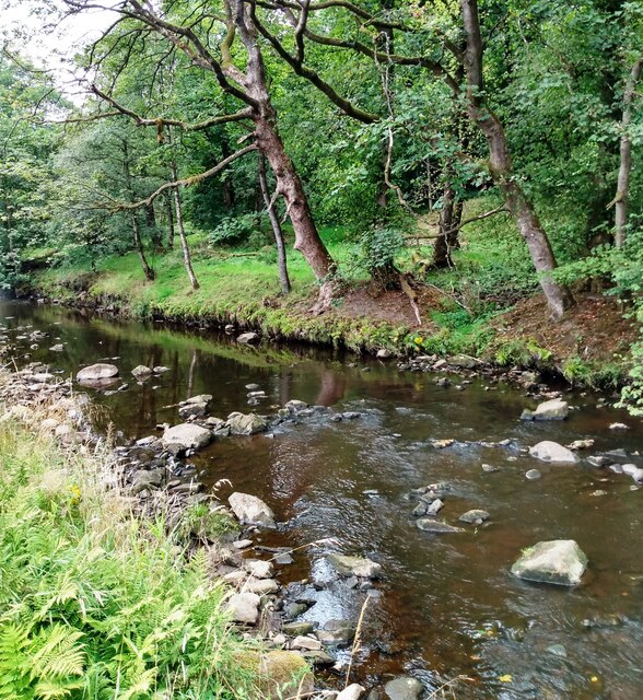
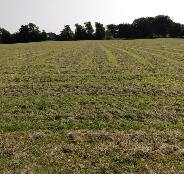
Despite its small size and relatively secluded location, Addiebrownhill offers a tranquil and idyllic setting for its residents. The village is characterized by a mix of traditional stone-built cottages and modern housing developments. The surrounding landscape is dominated by rolling hills, open fields, and patches of woodland, providing ample opportunities for outdoor activities such as hiking, cycling, and wildlife spotting.
While primarily a residential area, Addiebrownhill benefits from its proximity to nearby towns and amenities. The village is conveniently located for access to the bustling city of Edinburgh, with its wide range of cultural attractions, shopping centers, and transport links. Additionally, the town of Dalkeith is just a short drive away, offering further amenities including supermarkets, schools, and recreational facilities.
The community spirit in Addiebrownhill is evident through the presence of local clubs and organizations, which promote social engagement and a sense of belonging. The village also hosts various events throughout the year, such as summer fairs and charity fundraisers, which bring residents together and foster a strong community bond.
Overall, Addiebrownhill provides a peaceful and scenic living environment for its residents, combining the benefits of rural living with convenient access to nearby towns and cities.
If you have any feedback on the listing, please let us know in the comments section below.
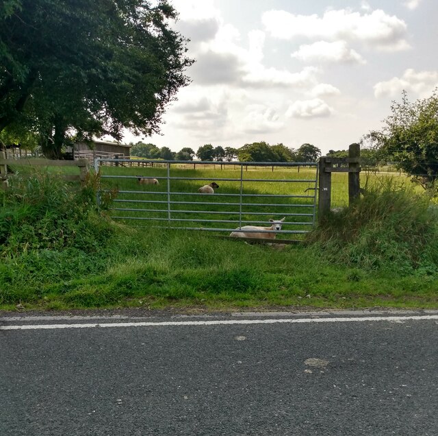
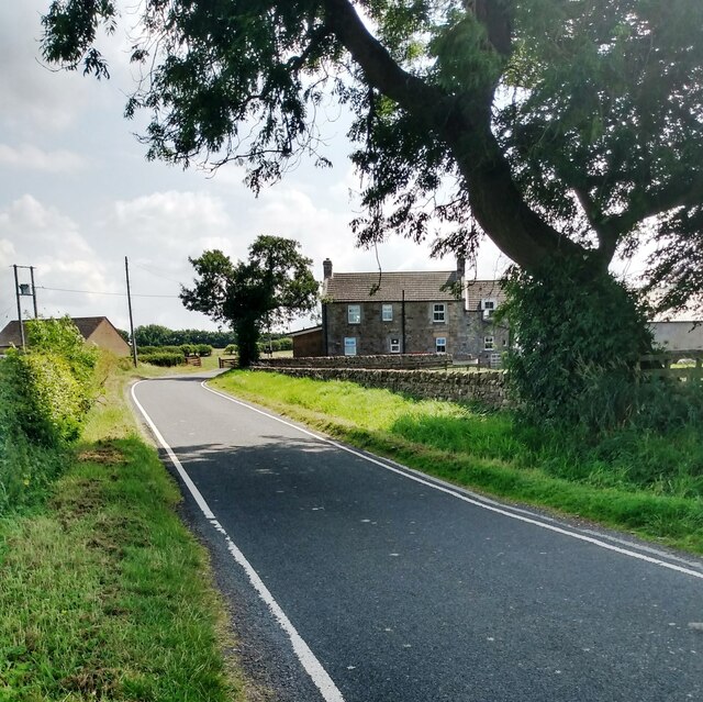
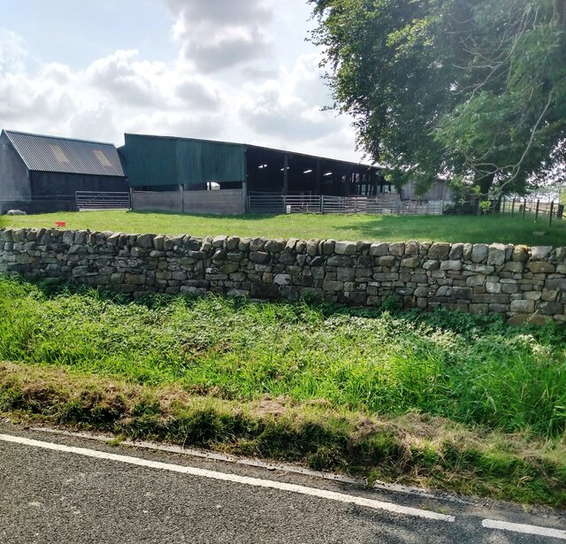
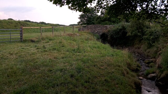
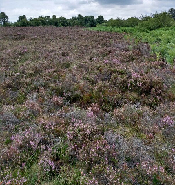
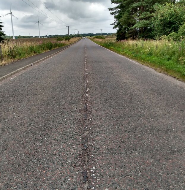
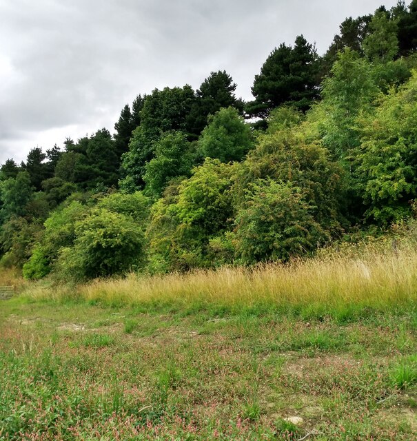
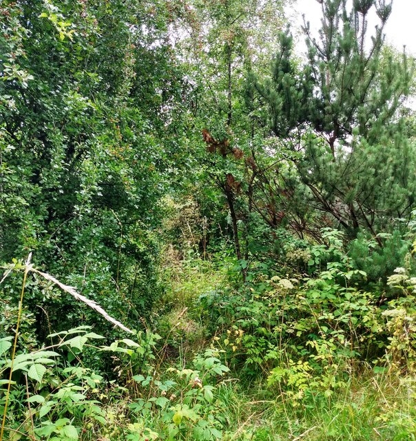
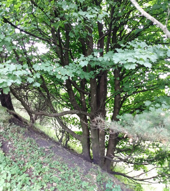
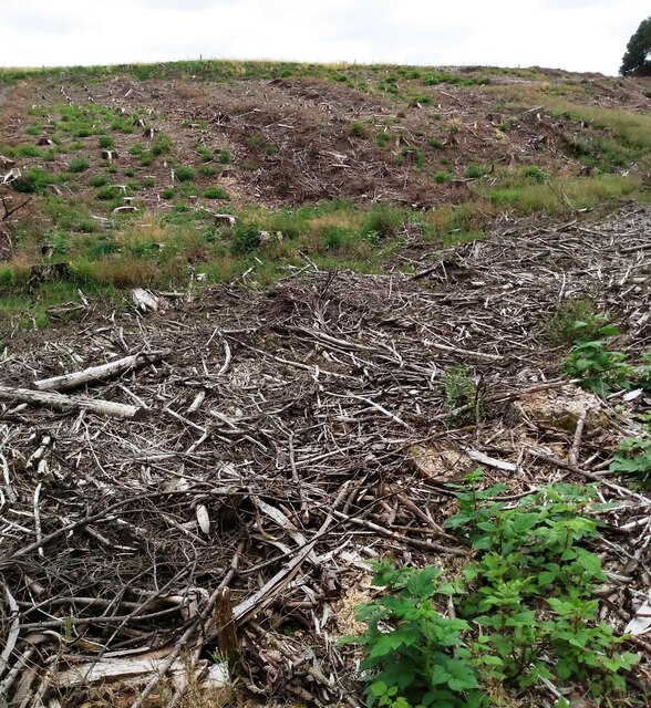
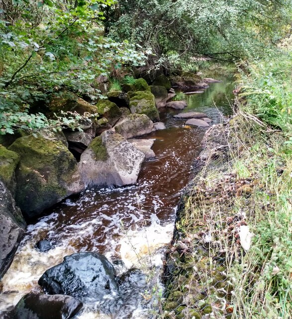
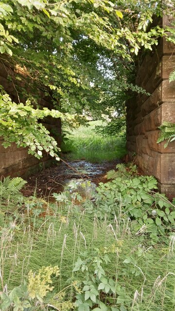
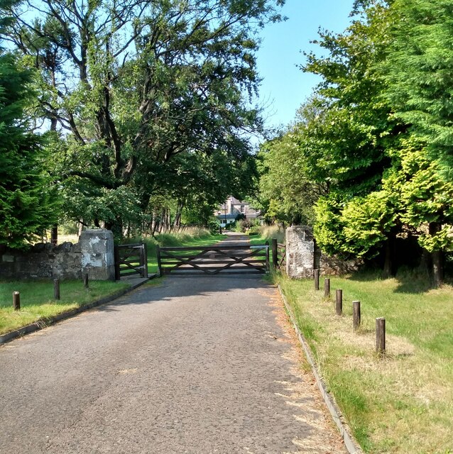
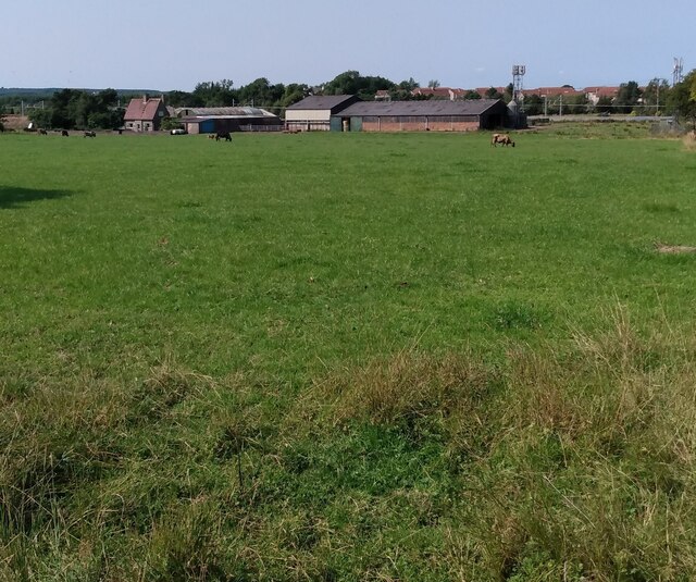
Addiebrownhill Images
Images are sourced within 2km of 55.842597/-3.616179 or Grid Reference NS9862. Thanks to Geograph Open Source API. All images are credited.
Addiebrownhill is located at Grid Ref: NS9862 (Lat: 55.842597, Lng: -3.616179)
Unitary Authority: West Lothian
Police Authority: The Lothians and Scottish Borders
What 3 Words
///tricycle.crossings.jungle. Near Addiebrownhill, West Lothian
Nearby Locations
Related Wikis

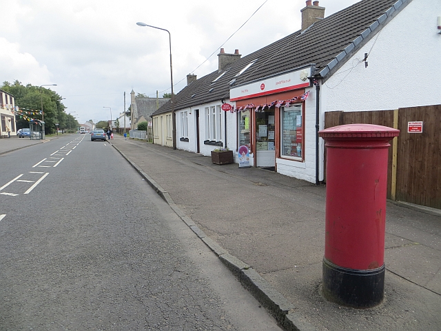
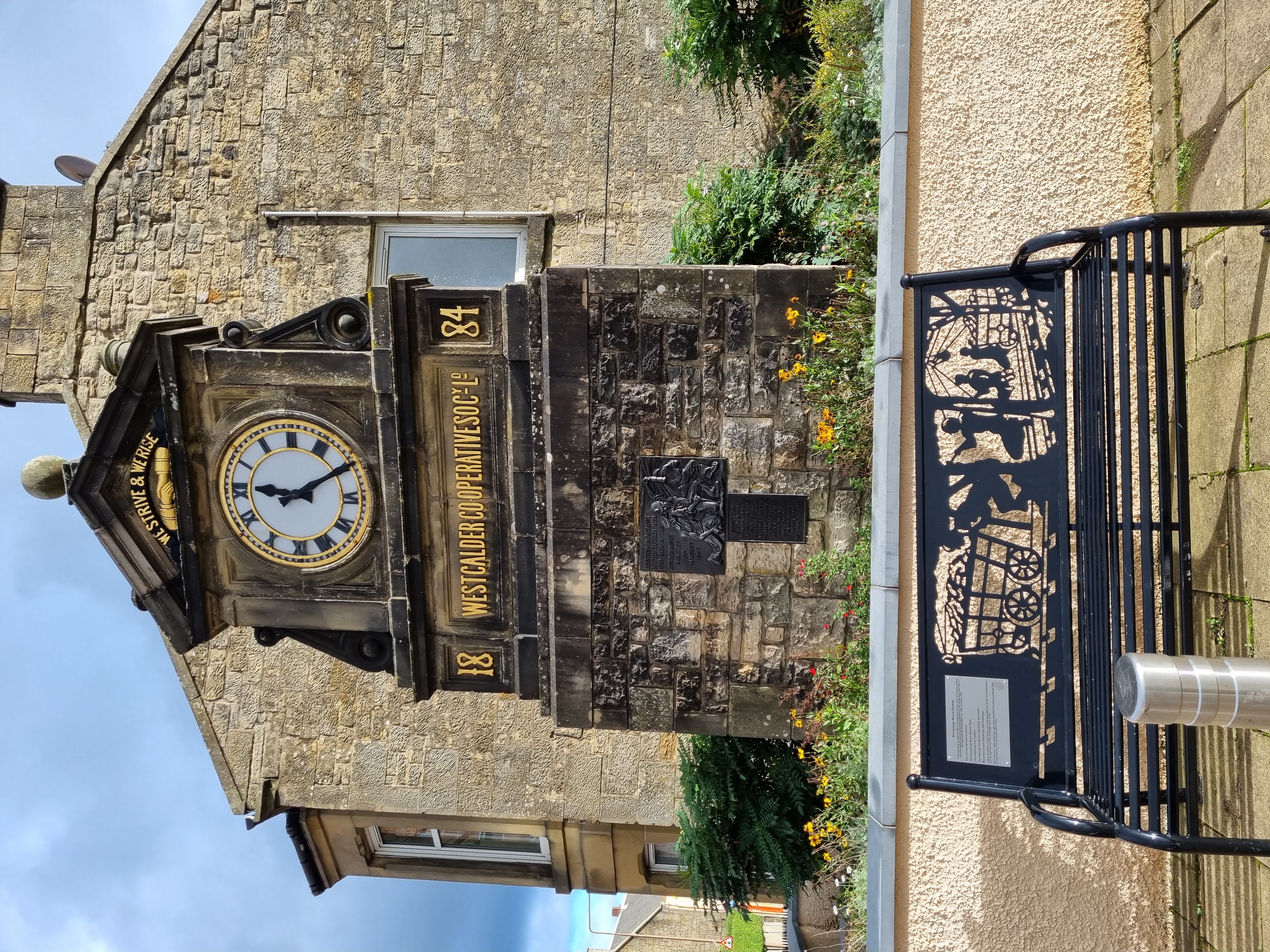
Addiewell
Addiewell (Scots: Aidieswall, Scottish Gaelic: Tobar Adaidh) is a former mining village in the Scottish council area of West Lothian. Historically it lies...
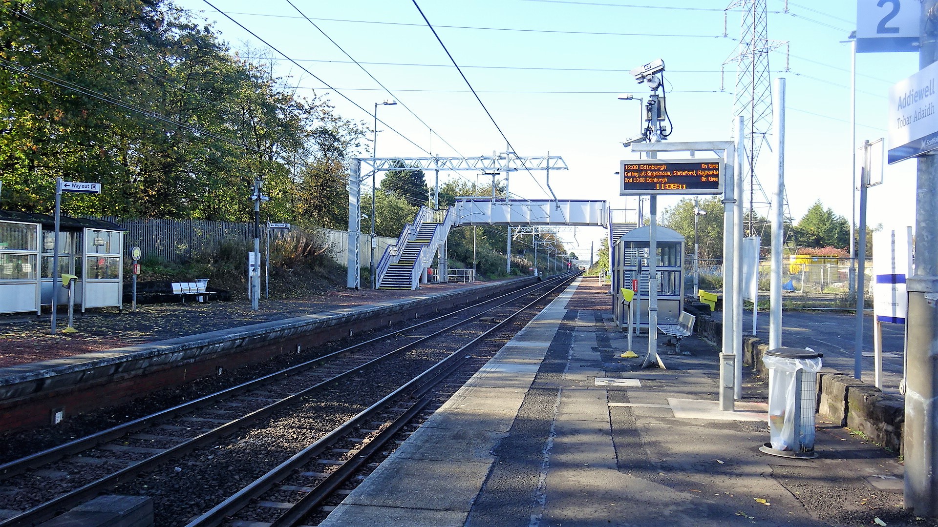
Addiewell railway station
Addiewell railway station is a railway station serving Addiewell in West Lothian, Scotland. It is located on the Shotts Line from Glasgow Central to Edinburgh...
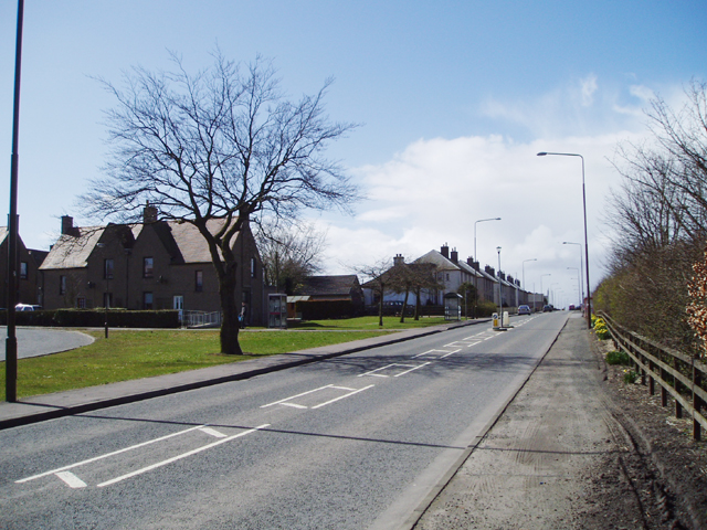
Stoneyburn
Stoneyburn is a village in West Lothian, Scotland. Nearby towns include Bathgate, Whitburn, Addiewell and Blackburn. == Geography == Stoneyburn is situated...
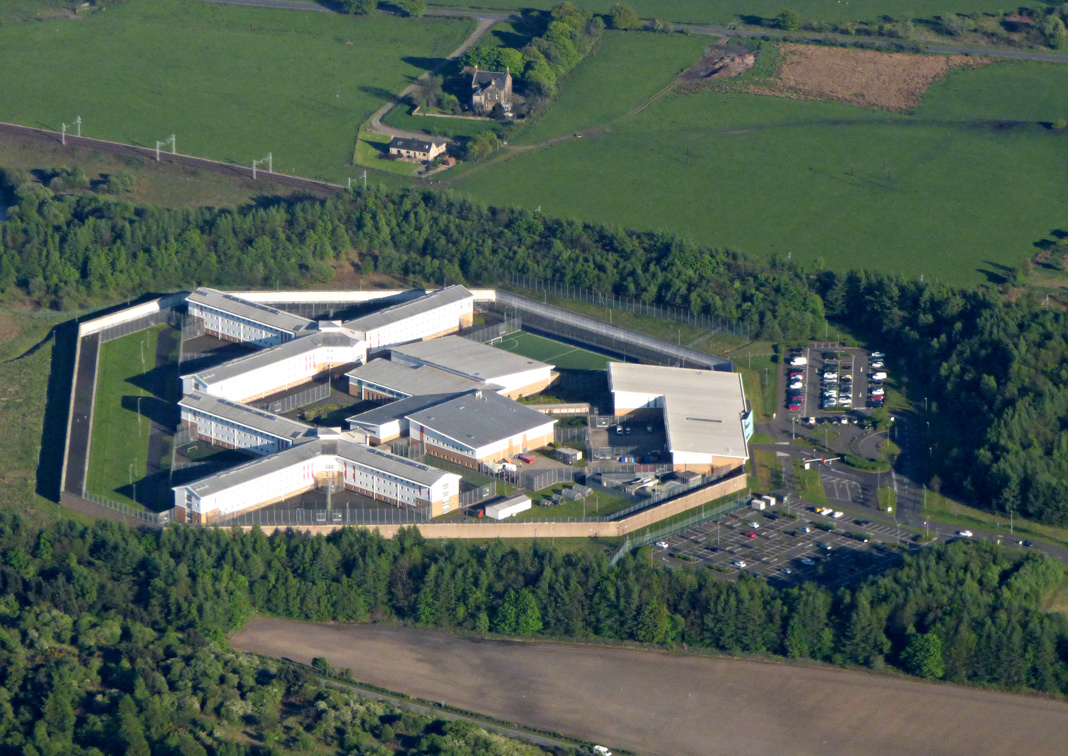
HM Prison Addiewell
HMP Addiewell is a private prison located near to the village of Addiewell in West Lothian, Scotland. HMP Addiewell is operated by Sodexo Justice Services...

Bents railway station
Bents railway station served the village of Bents, West Lothian, Scotland, from 1865 to 1955 on the Longridge and Bathgate Extension Railway. == History... ==
Burngrange mining disaster
Burngrange is an area of the Scottish village West Calder. Situated at the far west of the village it mainly consists of housing constructed for the areas...

Foulshiels railway station
Foulshiels railway station served the town of Bathgate, West Lothian, Scotland, from 1850 to 1852 on the Longridge and Bathgate Extension Railway. ��2...
Breich
Breich is a small village lying in the western part of West Lothian, Scotland. It lies on the A71, the Edinburgh to Ayrshire road, which also goes to...
Nearby Amenities
Located within 500m of 55.842597,-3.616179Have you been to Addiebrownhill?
Leave your review of Addiebrownhill below (or comments, questions and feedback).