Stoneyburn
Settlement in West Lothian
Scotland
Stoneyburn
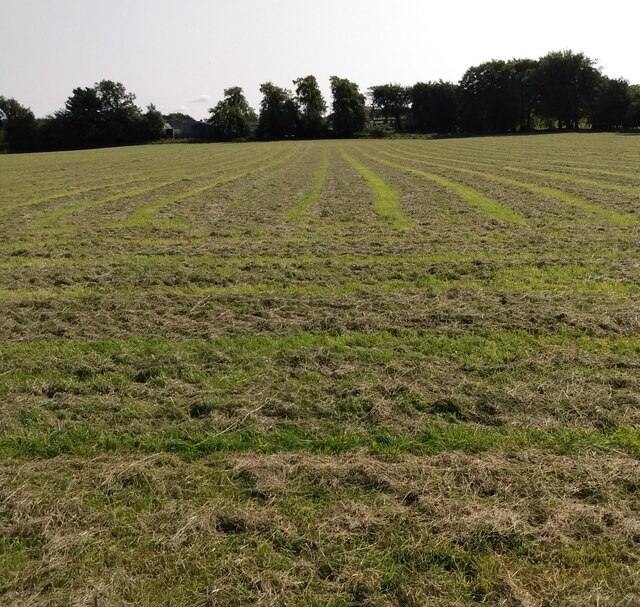
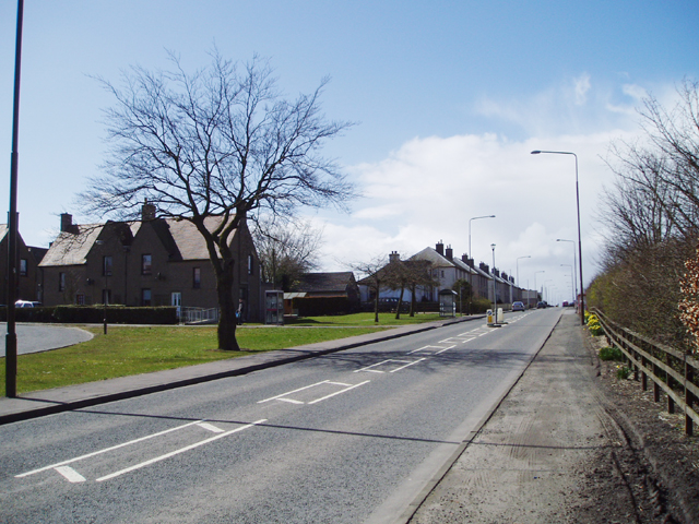
Stoneyburn is a small village located in West Lothian, Scotland. Situated approximately 20 miles west of Edinburgh, it lies within the Bathgate Hills and serves as a gateway to the scenic countryside. With a population of around 2,000 residents, the village exhibits a tight-knit community atmosphere.
The history of Stoneyburn can be traced back to the 19th century when it was primarily an agricultural area. However, the discovery of coal in the region led to the establishment of several collieries, transforming Stoneyburn into a mining village. The industry thrived until the early 1980s when the last mine closed, leaving a lasting impact on the local economy and community.
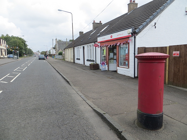
Today, Stoneyburn has transitioned into a residential area with a mix of modern housing developments and traditional stone-built cottages. The village provides essential amenities for its residents, including a primary school, post office, shops, and a community center. It also boasts a number of recreational spaces, such as parks and playgrounds, where residents can enjoy outdoor activities.
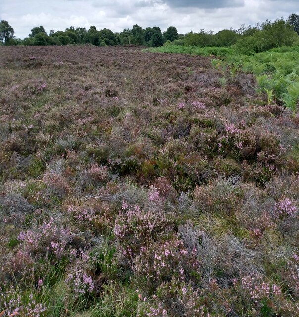
Stoneyburn's location offers easy access to the surrounding countryside, making it an ideal base for nature lovers and outdoor enthusiasts. The nearby Bathgate Hills provide opportunities for walking, hiking, and cycling, allowing visitors to enjoy panoramic views of the surrounding landscapes.
In summary, Stoneyburn is a charming village in West Lothian, Scotland, with a rich history in coal mining. It has evolved into a residential area that offers a close-knit community, essential amenities, and proximity to picturesque countryside.
If you have any feedback on the listing, please let us know in the comments section below.
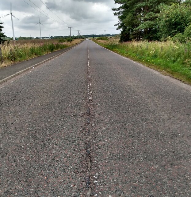
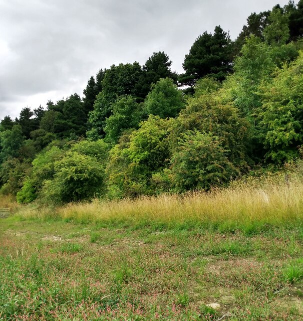
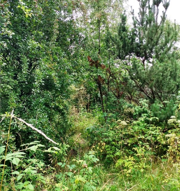
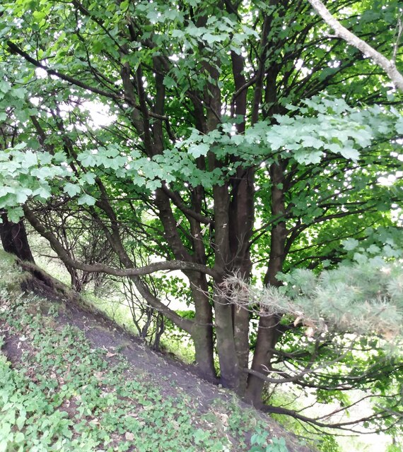
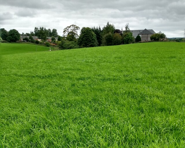
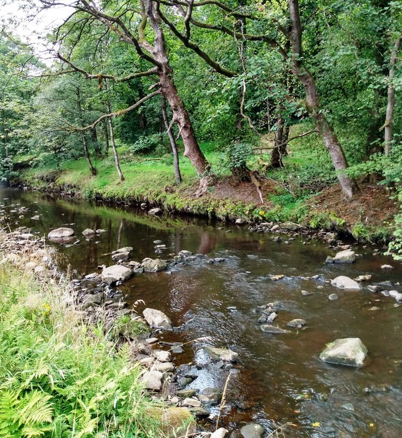
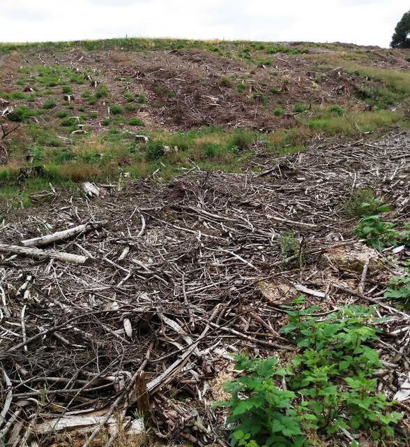
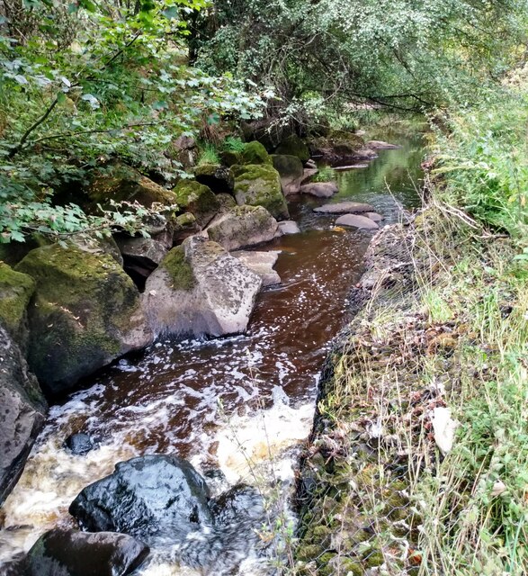
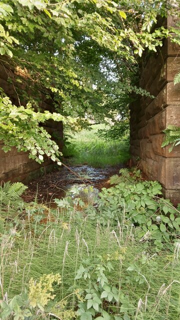
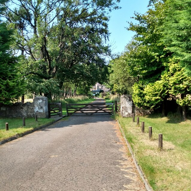
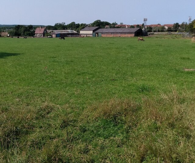
Stoneyburn Images
Images are sourced within 2km of 55.847933/-3.629986 or Grid Reference NS9862. Thanks to Geograph Open Source API. All images are credited.


Stoneyburn is located at Grid Ref: NS9862 (Lat: 55.847933, Lng: -3.629986)
Unitary Authority: West Lothian
Police Authority: The Lothians and Scottish Borders
What 3 Words
///eggplants.passage.solder. Near Stoneyburn, West Lothian
Nearby Locations
Related Wikis
Stoneyburn
Stoneyburn is a village in West Lothian, Scotland. Nearby towns include Bathgate, Whitburn, Addiewell and Blackburn. == Geography == Stoneyburn is situated...

Addiewell
Addiewell (Scots: Aidieswall, Scottish Gaelic: Tobar Adaidh) is a former mining village in the Scottish council area of West Lothian. Historically it lies...

Foulshiels railway station
Foulshiels railway station served the town of Bathgate, West Lothian, Scotland, from 1850 to 1852 on the Longridge and Bathgate Extension Railway. ��2...

Bents railway station
Bents railway station served the village of Bents, West Lothian, Scotland, from 1865 to 1955 on the Longridge and Bathgate Extension Railway. == History... ==
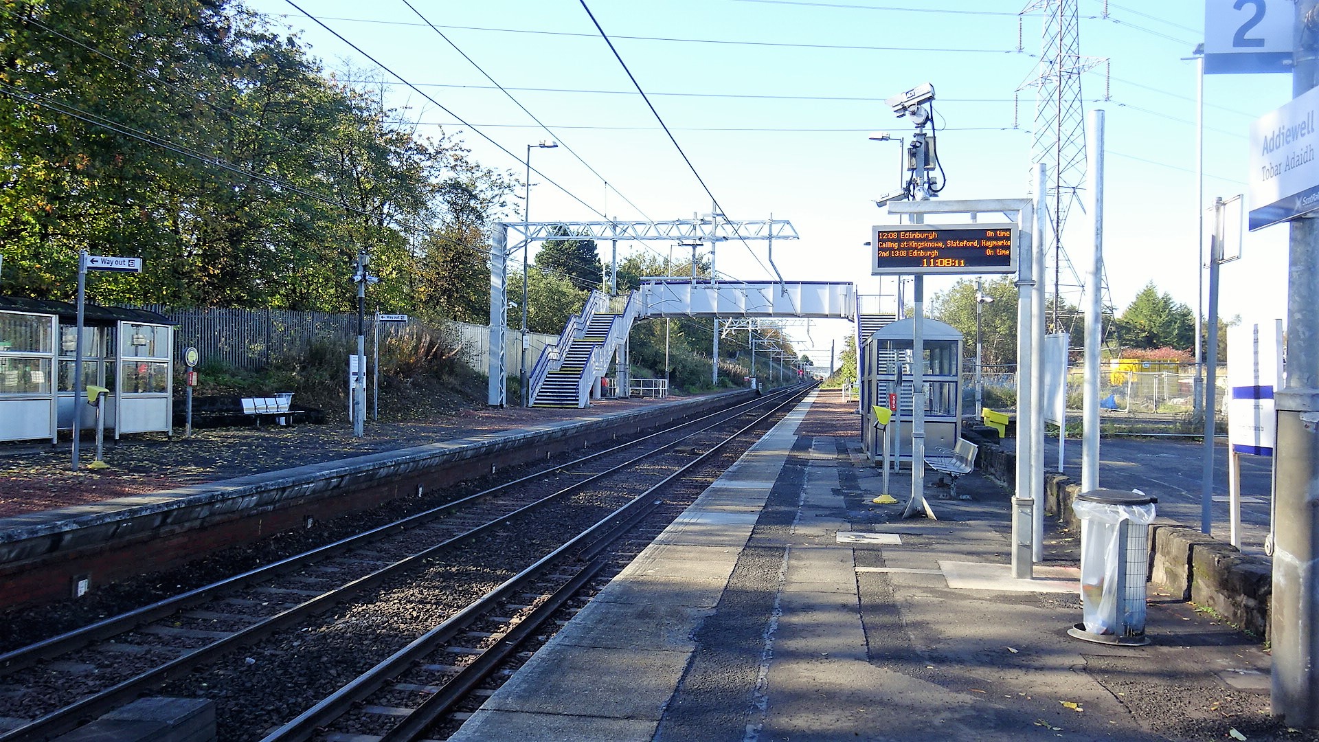
Addiewell railway station
Addiewell railway station is a railway station serving Addiewell in West Lothian, Scotland. It is located on the Shotts Line from Glasgow Central to Edinburgh...
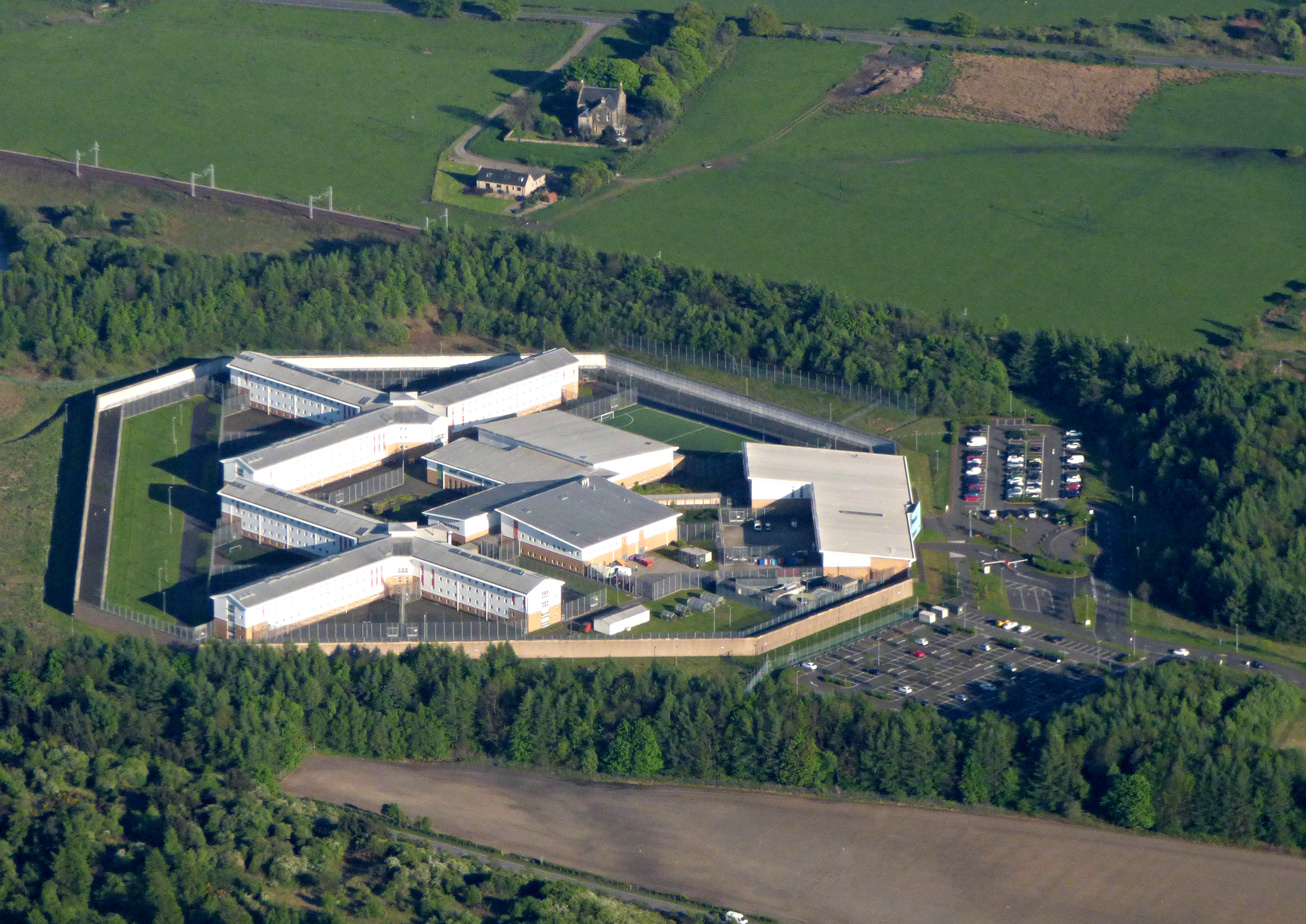
HM Prison Addiewell
HMP Addiewell is a private prison located near to the village of Addiewell in West Lothian, Scotland. HMP Addiewell is operated by Sodexo Justice Services...
Breich
Breich is a small village lying in the western part of West Lothian, Scotland. It lies on the A71, the Edinburgh to Ayrshire road, which also goes to...

St Kentigern's Academy
St. Kentigern's Academy is a Roman Catholic, comprehensive school in Blackburn, West Lothian, Scotland. The school was built in 1973 and refurbished in...
Nearby Amenities
Located within 500m of 55.847933,-3.629986Have you been to Stoneyburn?
Leave your review of Stoneyburn below (or comments, questions and feedback).