Pyrford
Settlement in Surrey Woking
England
Pyrford
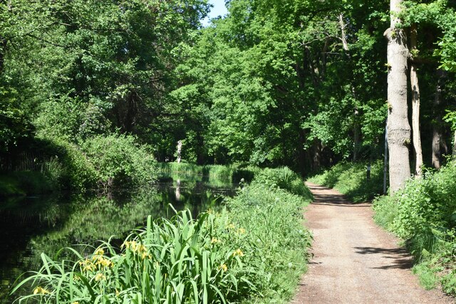
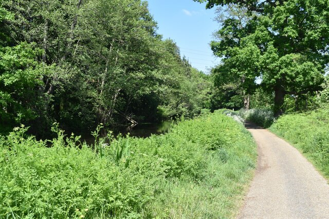
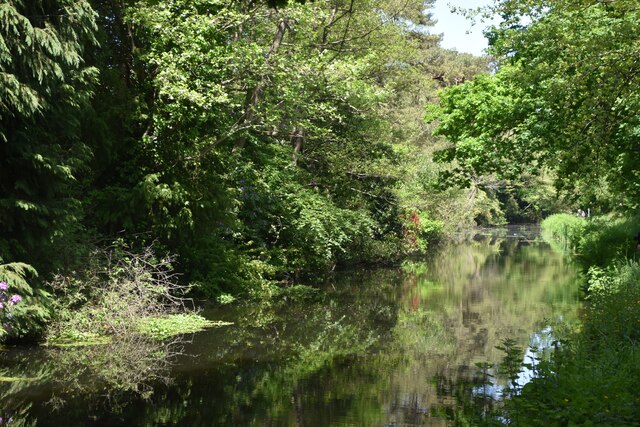
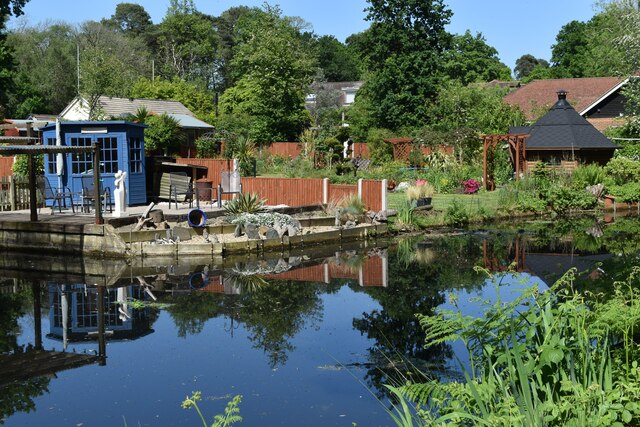
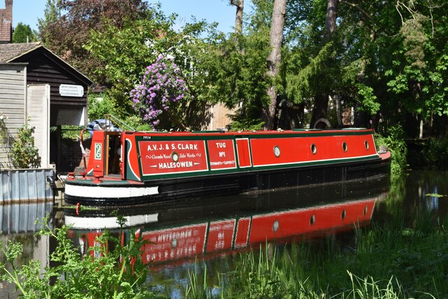
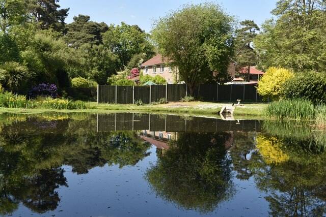
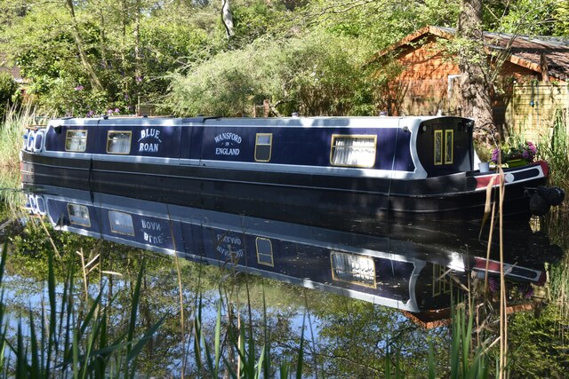
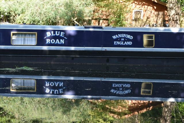
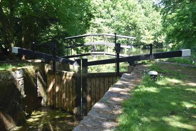
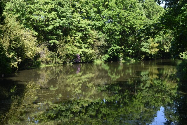
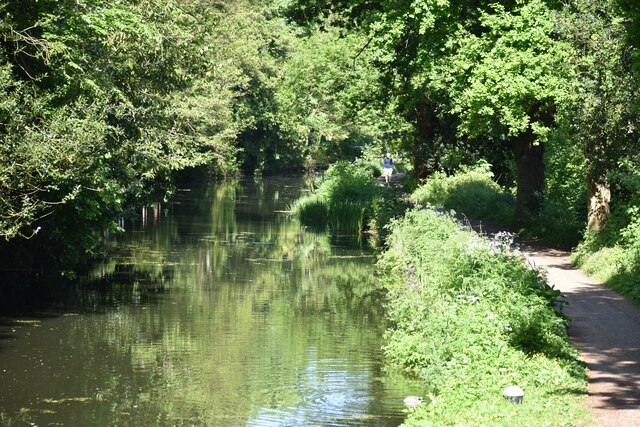
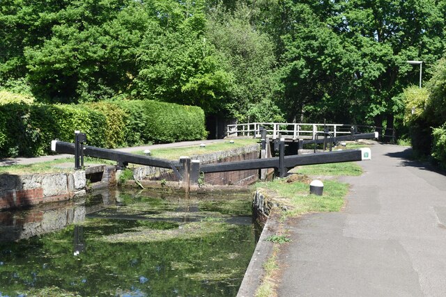
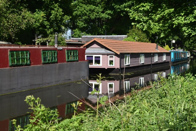
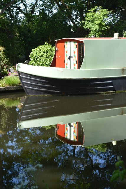
Pyrford is a small village located in the county of Surrey, England. Situated just west of the town of Woking, Pyrford is known for its picturesque setting and charming rural character. The village lies on the banks of the River Wey, which adds to its natural beauty and attracts visitors throughout the year.
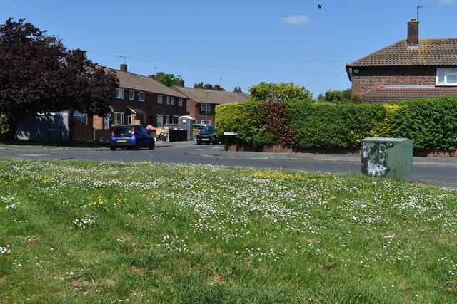
Pyrford is home to a close-knit community of around 2,500 residents. The village has a rich history, with evidence of human settlement dating back to Roman times. The name "Pyrford" is derived from the Old English words "pyr", meaning pear tree, and "ford", referring to a river crossing. This hints at the village's agricultural past and its proximity to the river.
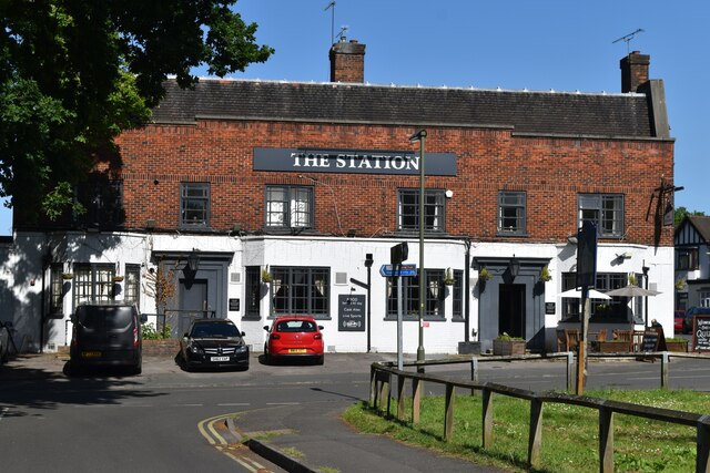
In the heart of Pyrford, one can find the historic St Nicholas Church, which dates back to the 12th century. The church is an iconic landmark and serves as a focal point for the community. Additionally, Pyrford boasts several traditional pubs, such as The Anchor and The Wisley, where locals and visitors can enjoy a drink or a meal in a relaxed setting.
Nature enthusiasts are drawn to Pyrford for its scenic countryside and outdoor recreational opportunities. The village is surrounded by lush green fields and woodland, providing ample space for walking, cycling, and picnicking. The nearby Pyrford Common is a designated Site of Special Scientific Interest, renowned for its diverse flora and fauna.
Overall, Pyrford offers a peaceful and idyllic setting for those seeking a tranquil escape from the hustle and bustle of city life. Its historic charm, natural beauty, and strong sense of community make it a sought-after place to live and visit in Surrey.
If you have any feedback on the listing, please let us know in the comments section below.
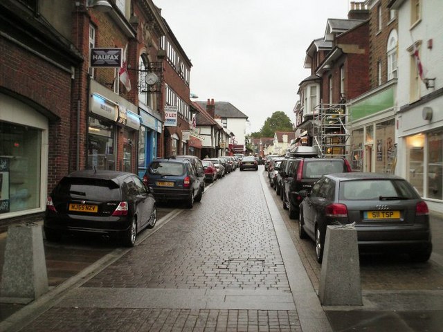
Pyrford Images
Images are sourced within 2km of 51.326538/-0.512918 or Grid Reference TQ0359. Thanks to Geograph Open Source API. All images are credited.

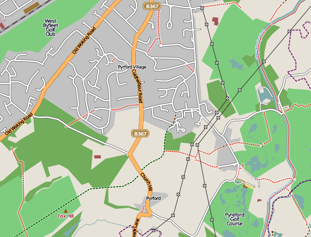
Pyrford is located at Grid Ref: TQ0359 (Lat: 51.326538, Lng: -0.512918)
Administrative County: Surrey
District: Woking
Police Authority: Surrey
What 3 Words
///noisy.plan.corn. Near West Byfleet, Surrey
Nearby Locations
Related Wikis
Sheerwater
Sheerwater is a residential neighbourhood or small suburb of Woking, in the Woking district in Surrey, England, occasionally described as a village, between...
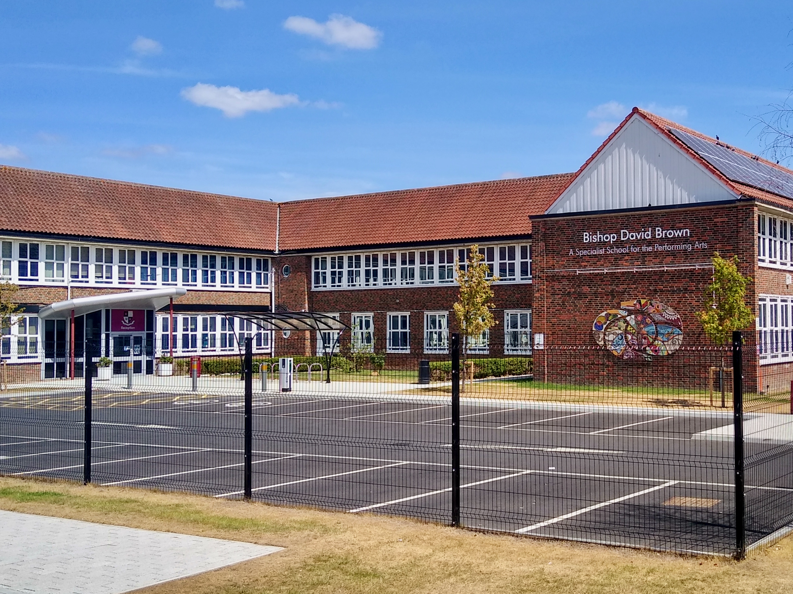
Bishop David Brown School
The Bishop David Brown School is a mixed academy status secondary school located in Sheerwater, (Woking), Surrey, England. == History == Formerly the Sheerwater...
Pyrford
Pyrford is a village in the borough of Woking in Surrey, England. It is on the left bank of the River Wey, around two miles (three kilometres) east of...

West Byfleet
West Byfleet is a village in Surrey which grew up around its relatively minor stop on the London & South Western Railway: the station, originally Byfleet...

Sheerwater F.C.
Sheerwater F.C. are a Non-League football club who are based in Sheerwater, in Woking, Surrey, England. They play their home fixtures at the Eastwood Centre...

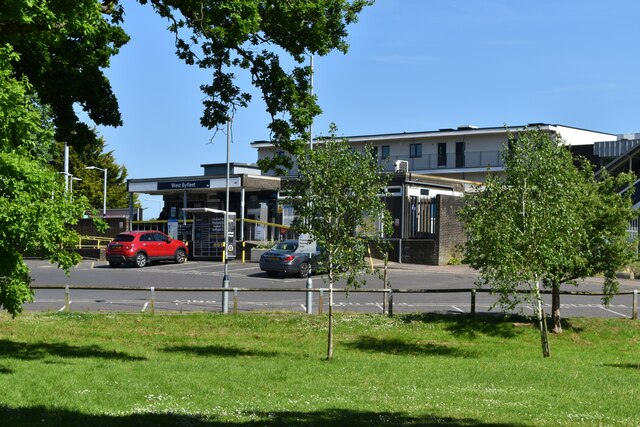
West Byfleet railway station
West Byfleet railway station is a railway station serving the village of West Byfleet, which forms part of the borough of Woking in the English county...
Mole Valley
Mole Valley is a local government district in Surrey, England. Its council is based in Dorking. The other town in the district is Leatherhead. The largest...
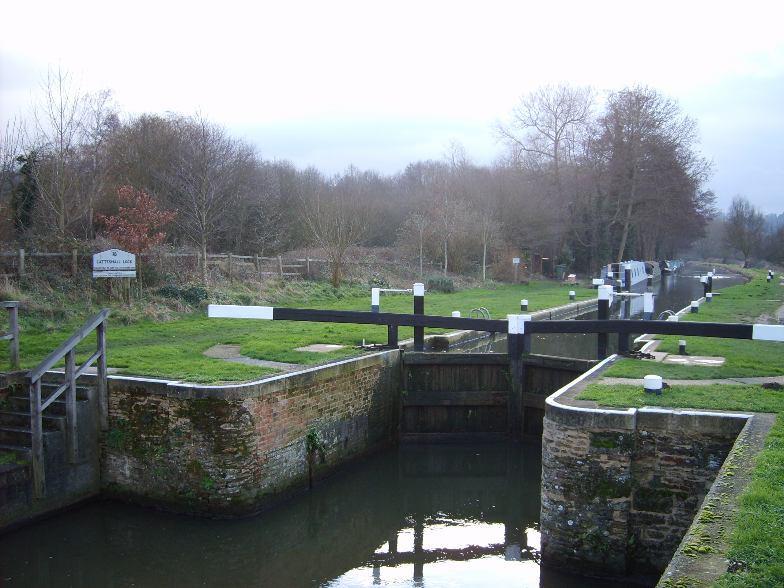
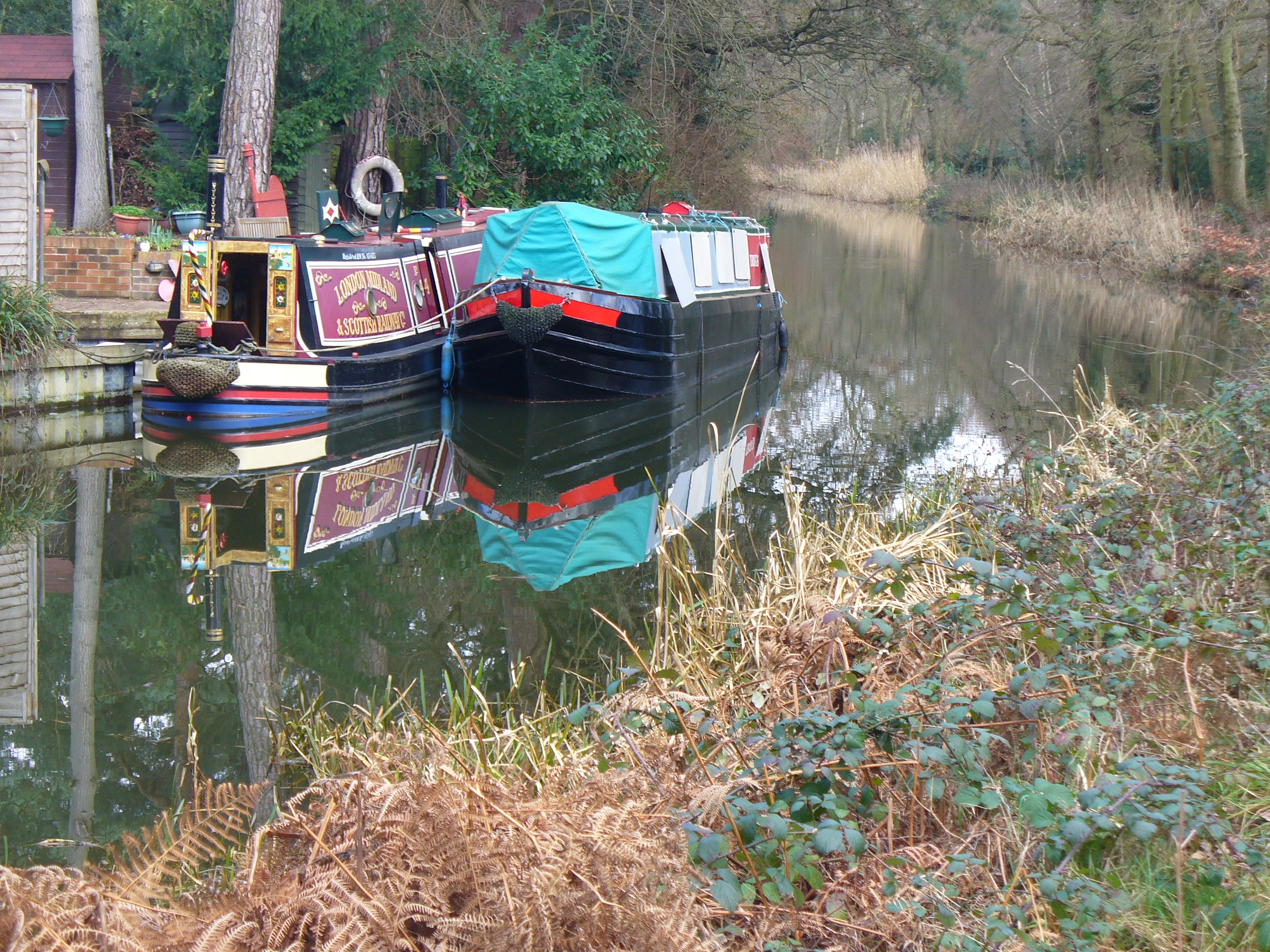
Wey and Godalming Navigations
The River Wey Navigation and Godalming Navigation together provide a 20-mile (32 km) continuous navigable route from the River Thames near Weybridge via...
Nearby Amenities
Located within 500m of 51.326538,-0.512918Have you been to Pyrford?
Leave your review of Pyrford below (or comments, questions and feedback).