Pyrford Common
Wood, Forest in Surrey Woking
England
Pyrford Common
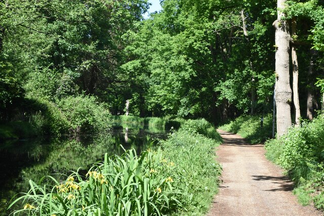
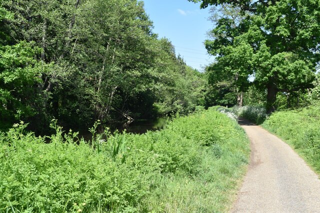
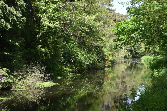
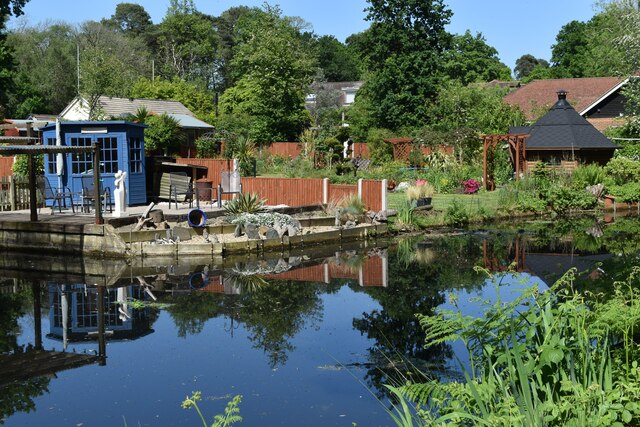
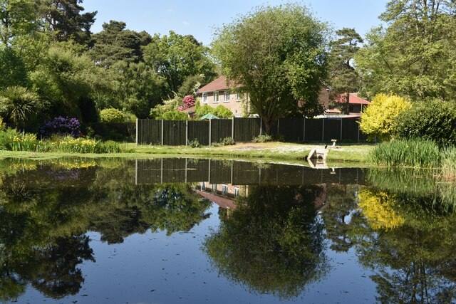
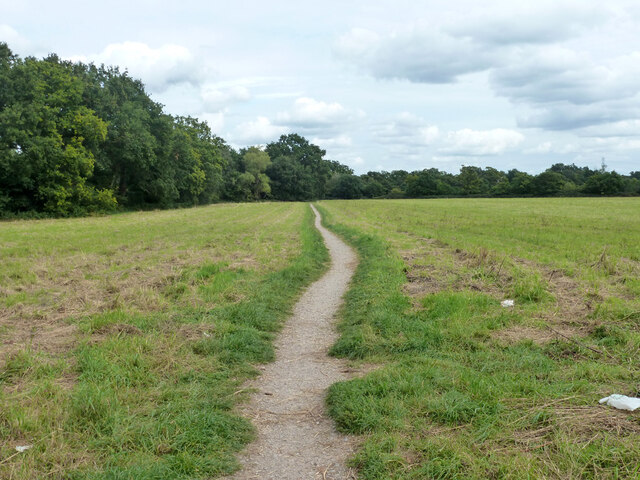
Pyrford Common is a beautiful woodland area located in Surrey, England. It is nestled between the towns of Woking and West Byfleet, making it easily accessible for both locals and visitors alike. Covering an area of approximately 200 acres, Pyrford Common is a haven for nature lovers and provides a tranquil escape from the hustle and bustle of city life.
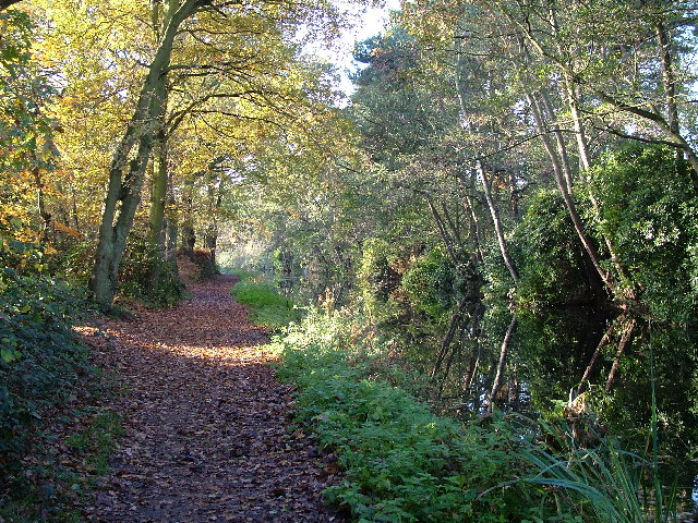
The common is predominantly covered by a mixture of deciduous and coniferous trees, creating a diverse and picturesque landscape. Oak, birch, and Scots pine are just a few examples of the tree species that can be found here, providing a rich and vibrant habitat for a variety of wildlife.
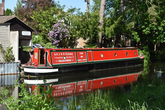
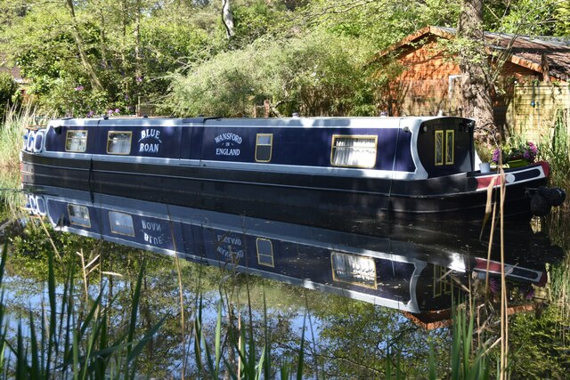
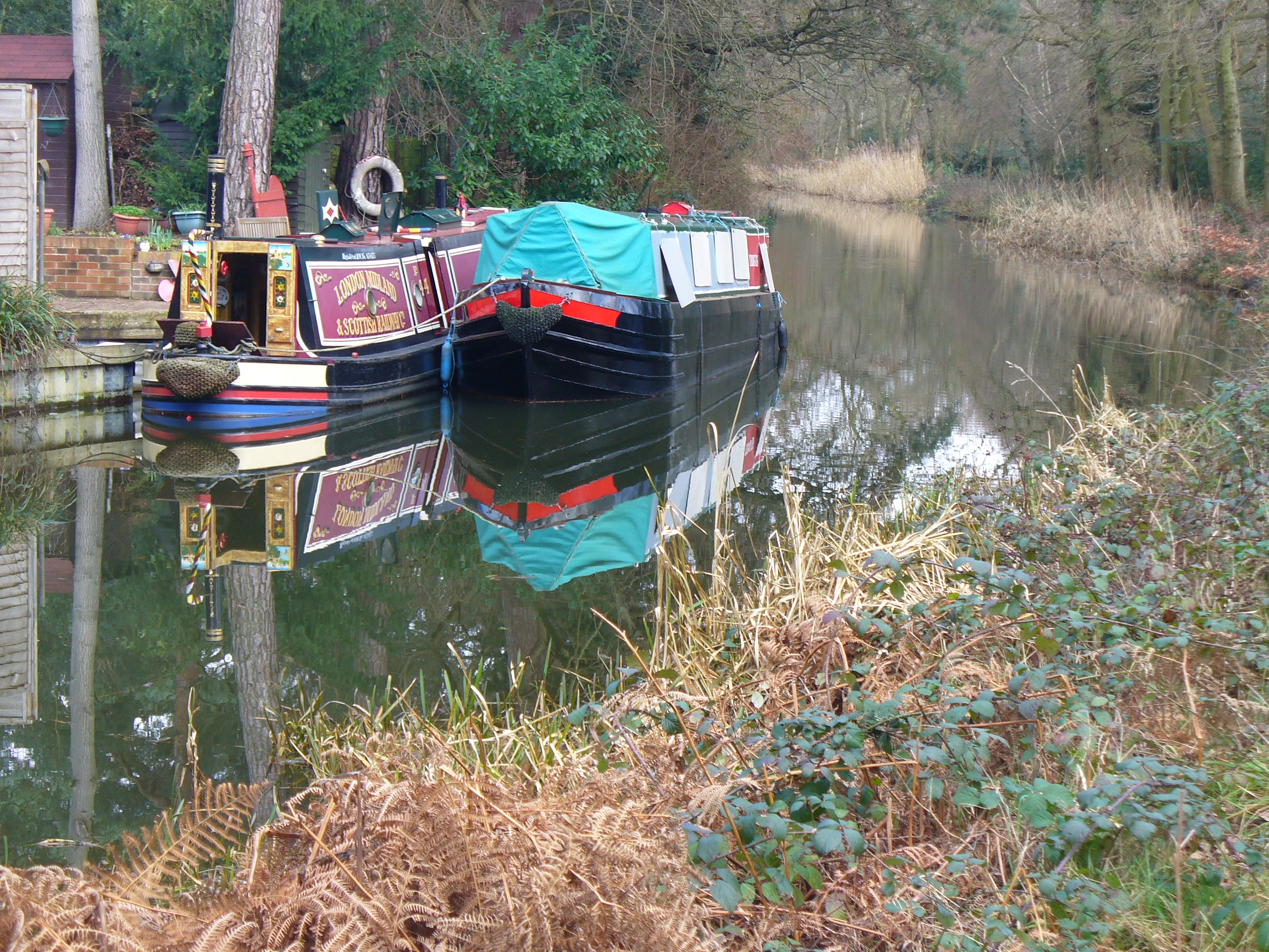
Wandering through Pyrford Common, visitors can explore a network of well-maintained footpaths and trails, allowing them to fully immerse themselves in the natural surroundings. The common is also intersected by the River Wey, which adds to its charm and provides opportunities for scenic walks along the water's edge.
Birdwatchers will delight in the numerous species that call Pyrford Common home, including woodpeckers, kingfishers, and various songbirds. The common is also home to a variety of mammals, such as deer, badgers, and foxes, which can sometimes be spotted during early morning or late evening walks.
Pyrford Common is a popular destination for outdoor enthusiasts, offering opportunities for walking, jogging, picnicking, and even horse riding. The common is well-maintained by local authorities, ensuring its natural beauty is preserved for future generations to enjoy.
Overall, Pyrford Common in Surrey is a stunning woodland area that provides a peaceful retreat for nature lovers. With its diverse flora and fauna, well-maintained trails, and picturesque river, it truly is a gem in the heart of the English countryside.
If you have any feedback on the listing, please let us know in the comments section below.
Pyrford Common Images
Images are sourced within 2km of 51.321689/-0.52175547 or Grid Reference TQ0359. Thanks to Geograph Open Source API. All images are credited.


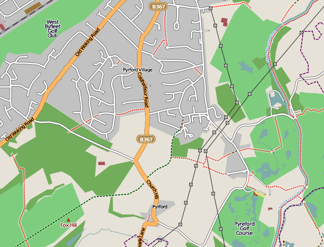
Pyrford Common is located at Grid Ref: TQ0359 (Lat: 51.321689, Lng: -0.52175547)
Administrative County: Surrey
District: Woking
Police Authority: Surrey
What 3 Words
///seated.shelf.dirt. Near West Byfleet, Surrey
Nearby Locations
Related Wikis
Sheerwater
Sheerwater is a residential neighbourhood or small suburb of Woking, in the Woking district in Surrey, England, occasionally described as a village, between...
Pyrford
Pyrford is a village in the borough of Woking in Surrey, England. It is on the left bank of the River Wey, around two miles (three kilometres) east of...
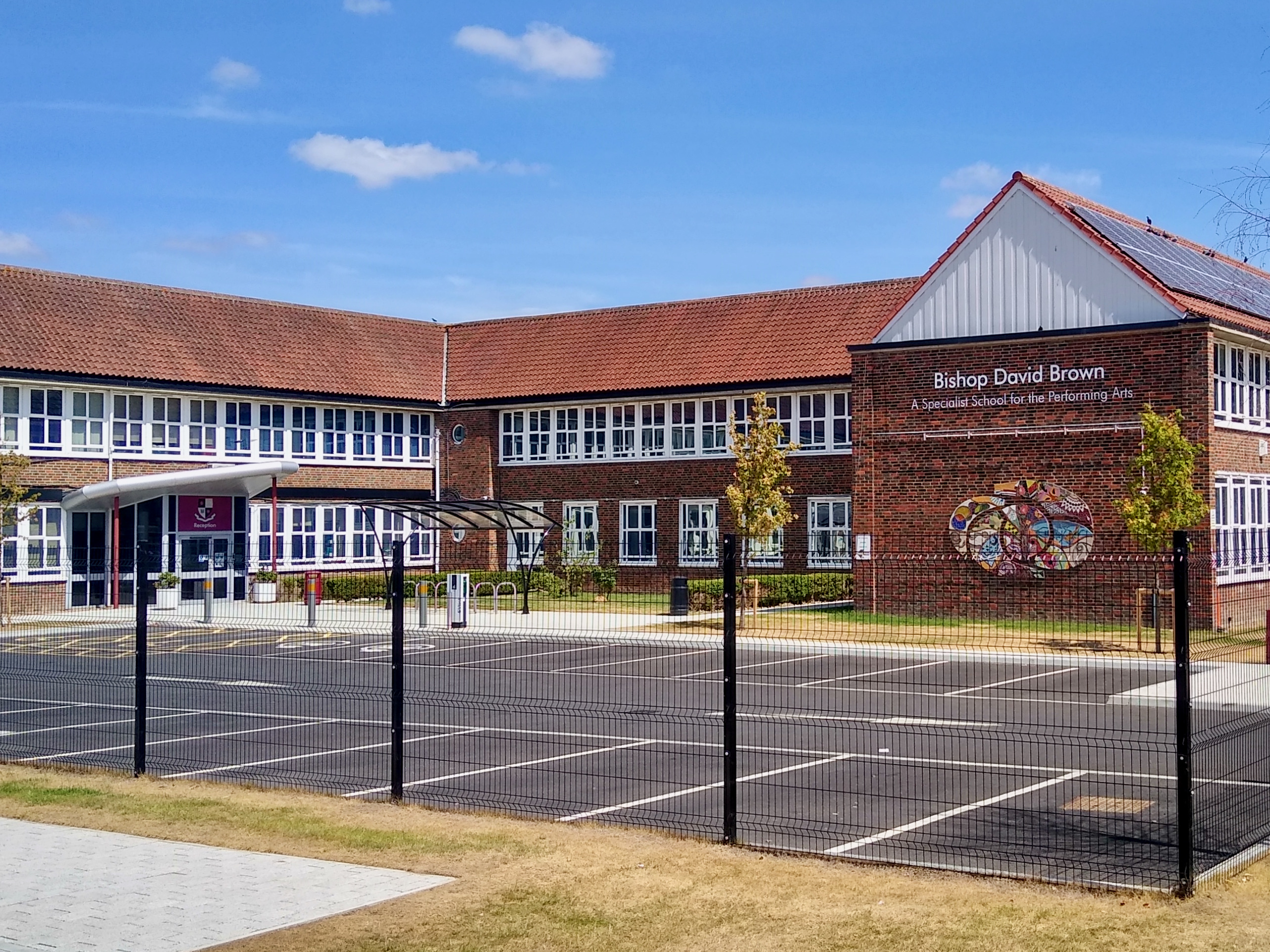
Bishop David Brown School
The Bishop David Brown School is a mixed academy status secondary school located in Sheerwater, (Woking), Surrey, England. == History == Formerly the Sheerwater...

St Dunstan's Church, Woking
St Dunstan's Church is a Roman Catholic Parish church in Woking, Surrey. At first it was built in 1899, replaced by a larger church in 1923 and its final...
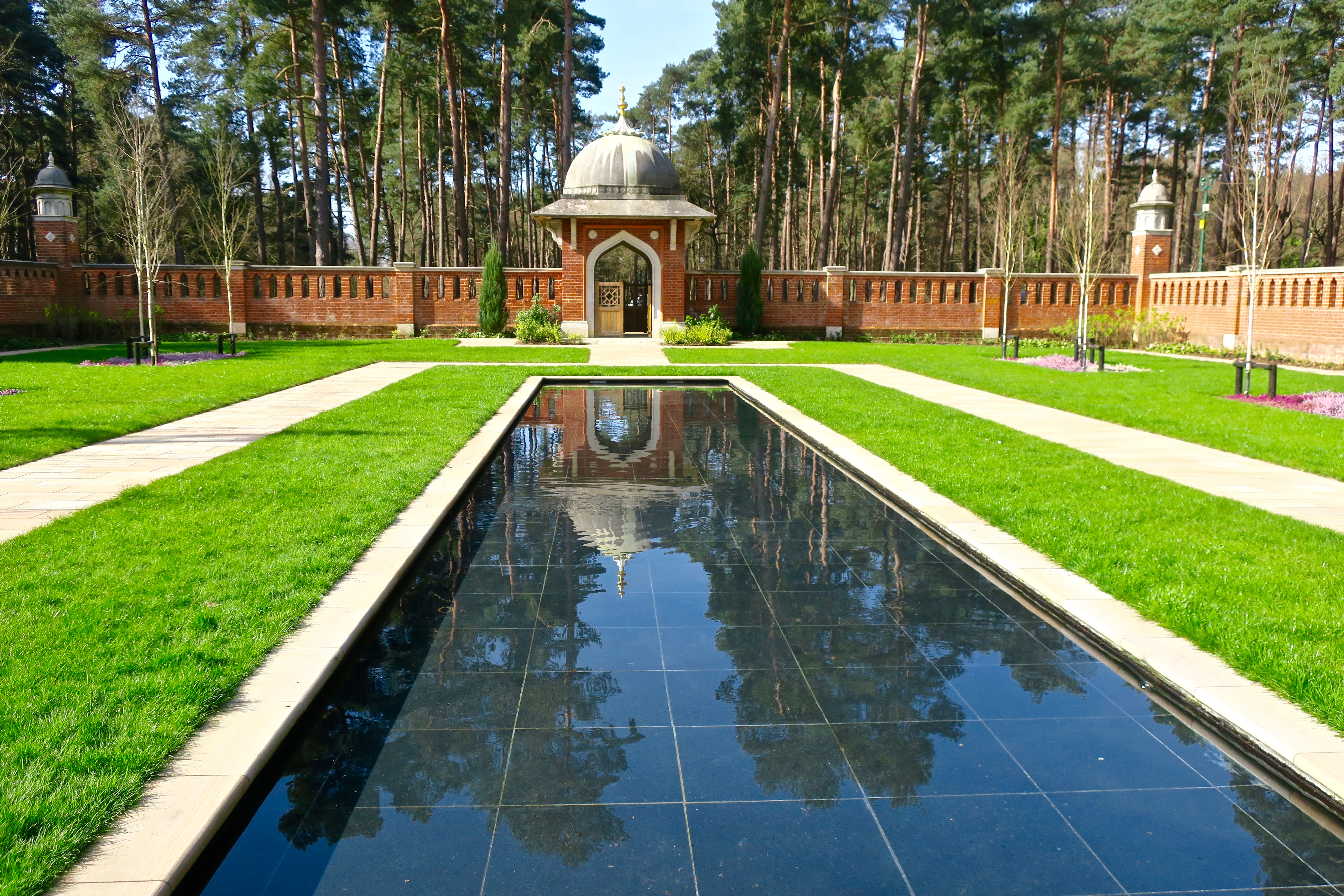
Muslim Burial Ground, Horsell Common
The Muslim Burial Ground, in the town of Woking in the English county of Surrey, was the original resting place of two dozen Muslim soldiers who died during...

Sheerwater F.C.
Sheerwater F.C. are a Non-League football club who are based in Sheerwater, in Woking, Surrey, England. They play their home fixtures at the Eastwood Centre...
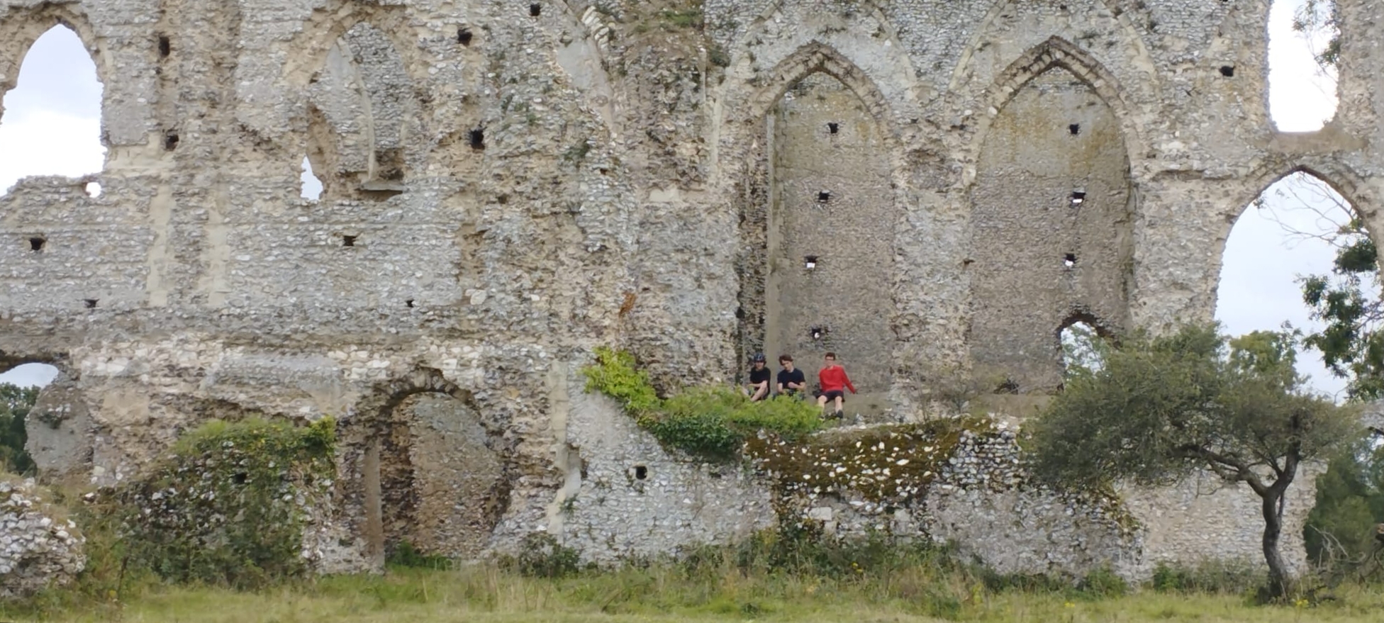
Newark Priory
Newark Priory is a ruined priory on an island surrounded by the River Wey and its former leat (the Abbey Stream) near the boundary of the village (parish...

Shah Jahan Mosque, Woking
The Shah Jahan Mosque (also known as Woking Mosque) in Oriental Road, Woking, England, is the first purpose-built mosque in the United Kingdom. Built in...
Nearby Amenities
Located within 500m of 51.321689,-0.52175547Have you been to Pyrford Common?
Leave your review of Pyrford Common below (or comments, questions and feedback).