Pound Street
Settlement in Hampshire Basingstoke and Deane
England
Pound Street

Pound Street is a vibrant and historic street located in the heart of Hampshire, England. Situated in the picturesque town of Fordingbridge, Pound Street exudes charm and character with its traditional architecture and bustling atmosphere.
The street is lined with a mix of independent shops, boutiques, and local businesses, making it a popular destination for both residents and tourists alike. From charming gift shops and art galleries to cozy cafes and traditional pubs, Pound Street offers a diverse range of shopping and dining experiences.
Aside from its commercial appeal, Pound Street is also steeped in history. The name "Pound" refers to an enclosed area where stray animals were once rounded up and kept until claimed by their owners. This historical significance is reflected in the street's architecture, with many buildings dating back several centuries.
Pound Street is also conveniently located close to the stunning New Forest National Park, making it a gateway for outdoor enthusiasts. Visitors can easily access the park's picturesque trails and enjoy activities such as hiking, cycling, and horseback riding.
In summary, Pound Street in Hampshire is a vibrant and historically rich street that offers a unique blend of independent shops, eateries, and a gateway to the beautiful New Forest National Park. Its charming atmosphere and diverse offerings make it a must-visit destination for both locals and tourists.
If you have any feedback on the listing, please let us know in the comments section below.
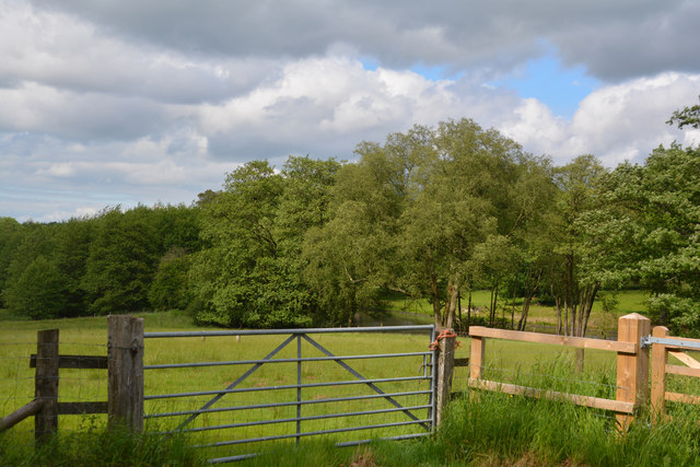
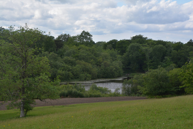
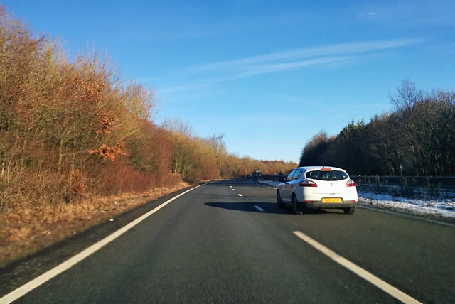
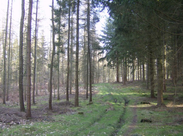
Pound Street Images
Images are sourced within 2km of 51.349199/-1.351364 or Grid Reference SU4561. Thanks to Geograph Open Source API. All images are credited.


Pound Street is located at Grid Ref: SU4561 (Lat: 51.349199, Lng: -1.351364)
Administrative County: Hampshire
District: Basingstoke and Deane
Police Authority: Hampshire
What 3 Words
///sector.coasting.ripen. Near Highclere, Hampshire
Nearby Locations
Related Wikis

Penwood
Penwood is a village in the civil parish of Highclere in the Basingstoke and Deane district of Hampshire, England. Its nearest town is Newbury, which lies...

Highclere Park
Highclere Park is a 69.6-hectare (172-acre) biological Site of Special Scientific Interest east of Highclere in Hampshire. It is the park of Highclere...
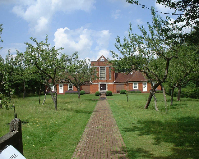
Sandham Memorial Chapel
Sandham Memorial Chapel is in the village of Burghclere, Hampshire, England. It is a Grade I listed, 1920s decorated chapel, designed by Lionel Godfrey...

Highclere railway station
Highclere railway station was a station on the Didcot, Newbury and Southampton Railway in England. It shares the name of the nearby village of Highclere...

Highclere
Highclere (pronounced ) is a village and civil parish situated in the North Wessex Downs (an Area of Outstanding Natural Beauty) in the Basingstoke and...
Whitway
Whitway is a hamlet in the civil parish of Burghclere in the Basingstoke and Deane district of Hampshire, England. Its nearest town is Newbury, which lies...
Horris Hill School
Horris Hill, is an independent day and boarding preparatory school for boys aged 4–13. It is located in Hampshire in England, south of Newbury in Berkshire...
Clere School
The Clere School is a small co-educational community secondary school in Burghclere. Although its postcode locates to Reading via Newbury, it is in Hampshire...
Nearby Amenities
Located within 500m of 51.349199,-1.351364Have you been to Pound Street?
Leave your review of Pound Street below (or comments, questions and feedback).