Port Glasgow
Settlement in Renfrewshire
Scotland
Port Glasgow
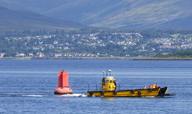
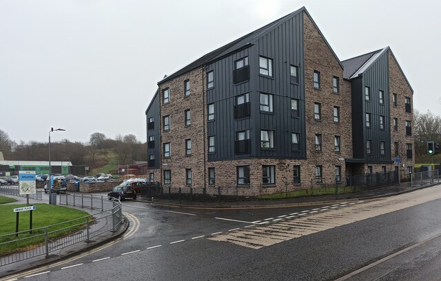
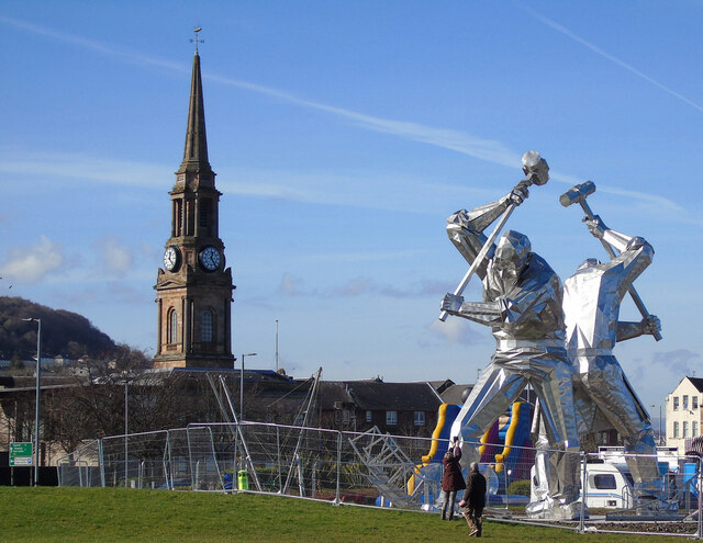
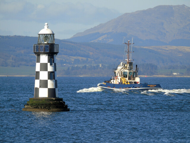
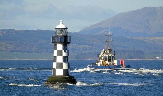
Port Glasgow is a town located in the council area of Renfrewshire, Scotland. Situated on the southern bank of the River Clyde, it lies about 20 miles west of the city of Glasgow. Historically, Port Glasgow has played a significant role as a major shipbuilding center, contributing to the growth and prosperity of the region.
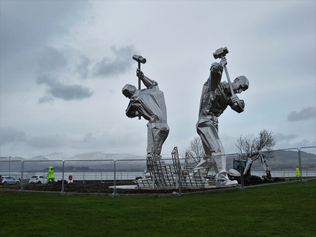
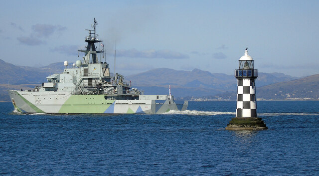
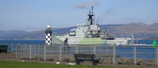
The town boasts a rich maritime heritage, with shipbuilding dating back to the 18th century. During the 19th and early 20th centuries, shipyards in Port Glasgow constructed numerous famous vessels, including the famous Cutty Sark and the Queen Mary. Although shipbuilding has declined in recent decades, the town's shipyard remains active, specializing in the construction and repair of various marine vessels.
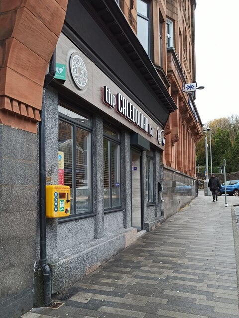
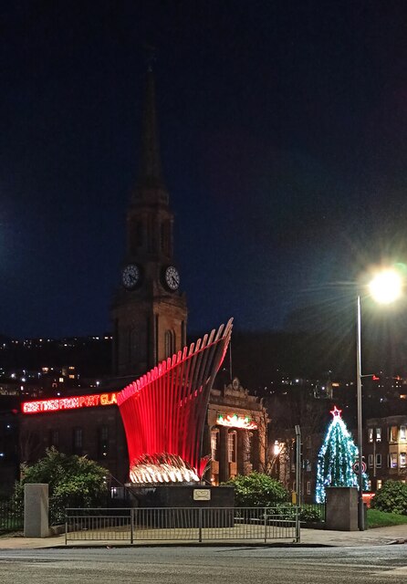
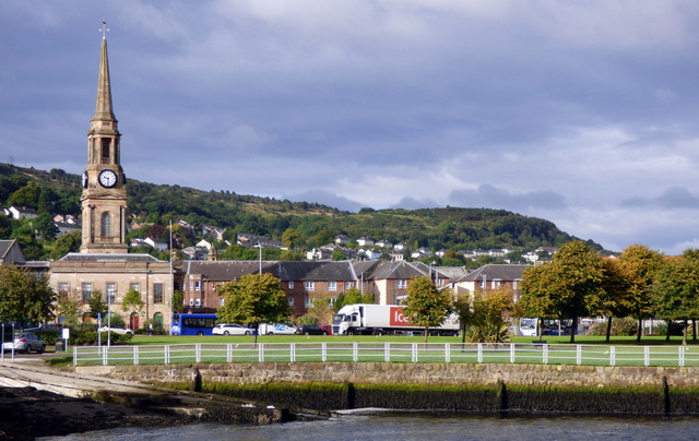
In addition to its shipbuilding legacy, Port Glasgow offers a range of amenities and attractions. The town center features a variety of shops, restaurants, and cafes, serving both locals and visitors. Notably, it is home to the iconic Newark Castle, a historic landmark dating back to the 15th century. The castle, situated on the banks of the river, offers stunning views and is a popular destination for tourists.
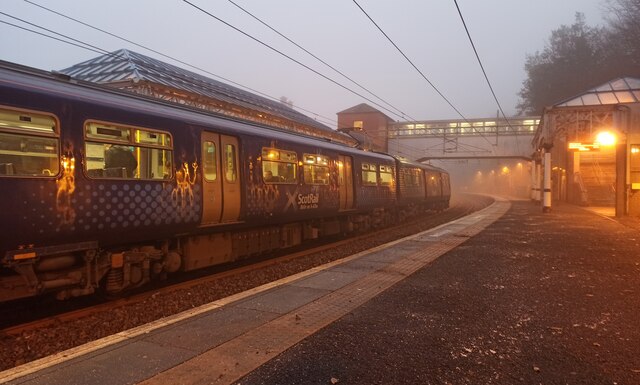
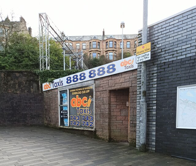
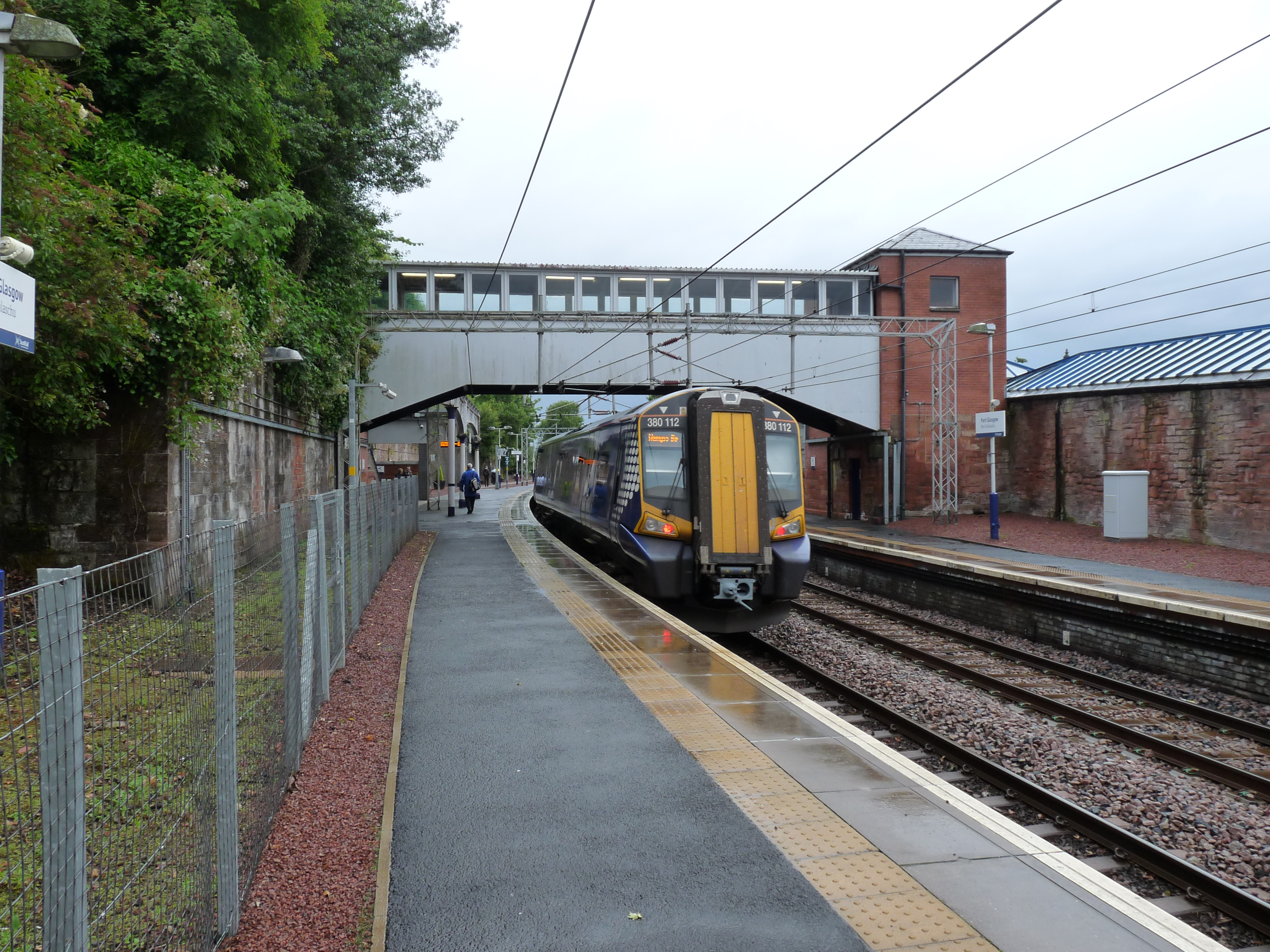
Port Glasgow is well-connected to the broader region, with excellent transportation links. The town is served by several bus routes, connecting it to nearby areas, while the nearby Port Glasgow railway station provides access to Glasgow and other destinations. Additionally, the town benefits from its close proximity to the M8 motorway, facilitating easy travel by car.
Overall, Port Glasgow combines its proud shipbuilding heritage with modern amenities, making it an attractive place to live or visit for both history enthusiasts and those seeking a tranquil riverside town.
If you have any feedback on the listing, please let us know in the comments section below.
Port Glasgow Images
Images are sourced within 2km of 55.934456/-4.6902913 or Grid Reference NS3274. Thanks to Geograph Open Source API. All images are credited.
Port Glasgow is located at Grid Ref: NS3274 (Lat: 55.934456, Lng: -4.6902913)
Unitary Authority: Inverclyde
Police Authority: Renfrewshire and Inverclyde
What 3 Words
///hood.sway.tapers. Near Port Glasgow, Inverclyde
Nearby Locations
Related Wikis
Port Glasgow
Port Glasgow (Scottish Gaelic: Port Ghlaschu, pronounced [pʰɔrˠʃt̪ˈɣl̪ˠas̪əxu]) is the second-largest town in the Inverclyde council area of Scotland....
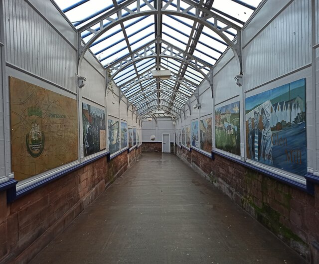
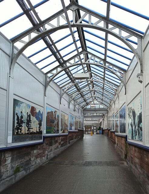
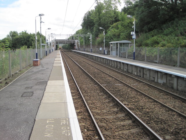
Port Glasgow railway station
Port Glasgow railway station is on the Inverclyde Line, serving the town of Port Glasgow, Scotland. It is located in the town centre with the main entrance...

Town Buildings, Port Glasgow
The Town Buildings, also known as the Municipal Buildings, are in Fore Street, Port Glasgow, Scotland. The structure, which served as the meeting place...
Bouverie, Port Glasgow
Bouverie is an area of the town of Port Glasgow, Inverclyde, Scotland. Bouverie was developed in the late nineteenth century as part of Port Glasgow's...
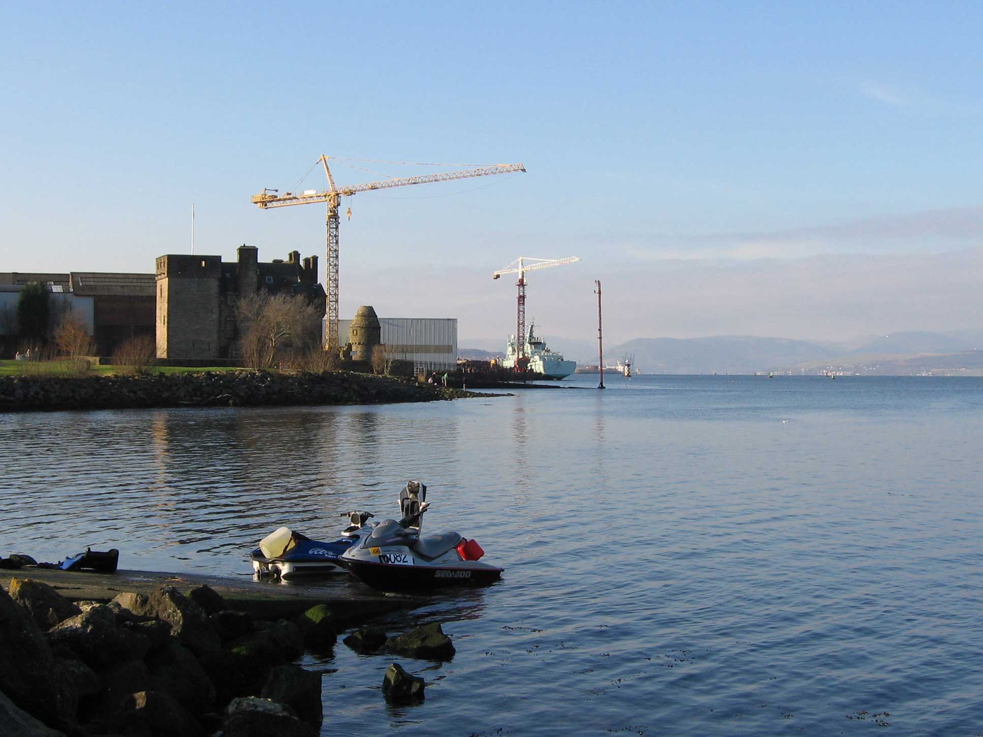
Newark Castle, Port Glasgow
Newark Castle is a well-preserved castle sited on the south shore of the estuary of the River Clyde in Port Glasgow, Inverclyde, Scotland, where the firth...

Clune Park Church, Port Glasgow
Clune Park Church Of Scotland, Robert Street, Port Glasgow is a disused church in the town of Port Glasgow, Scotland. It is located on the partly abandoned...

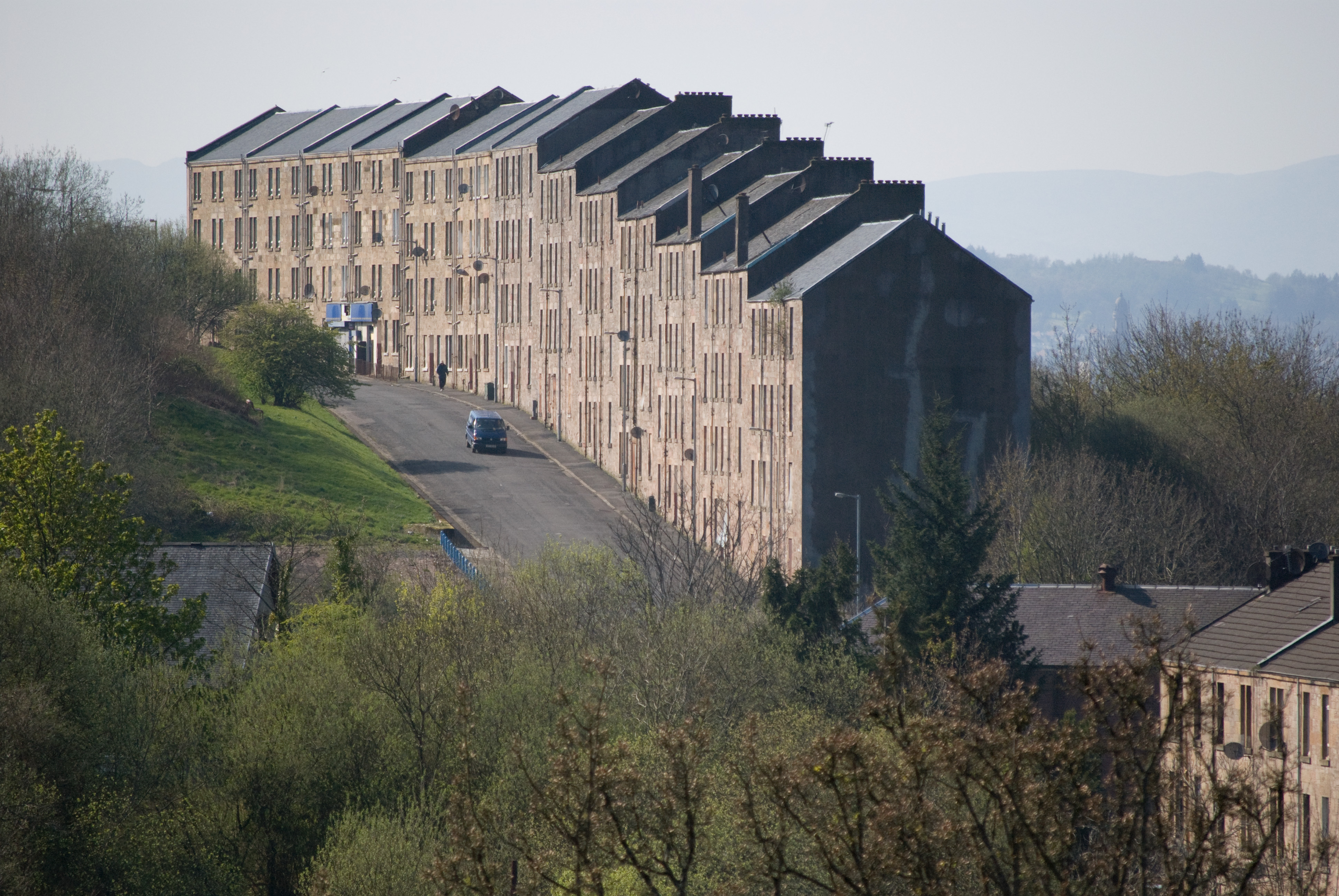
Clune Park
Clune Park was a football ground in Port Glasgow, Scotland. It was the home ground of Port Glasgow Athletic from 1881 until they folded in 1912, and also...
Bogston
Bogston (Scots: Bogstoun, Scottish Gaelic: Baile na Fèithe) is an area of the towns of Port Glasgow and Greenock in the council area of Inverclyde, Scotland...
Nearby Amenities
Located within 500m of 55.934456,-4.6902913Have you been to Port Glasgow?
Leave your review of Port Glasgow below (or comments, questions and feedback).