Fyfe Shore
Settlement in Renfrewshire
Scotland
Fyfe Shore
Fyfe Shore is a small village located in the council area of Renfrewshire, Scotland. Situated on the southern bank of the River Clyde, it is part of the larger town of Renfrew and lies approximately 5 miles west of Glasgow city center. Fyfe Shore is known for its picturesque setting, surrounded by stunning views of the river and the rolling hills of Renfrewshire.
The village itself is relatively small, with a population of around 3,000 residents. It has a close-knit community atmosphere, with a range of amenities that cater to the needs of its residents. These include local shops, a post office, a primary school, and several pubs and restaurants that serve both locals and visitors.
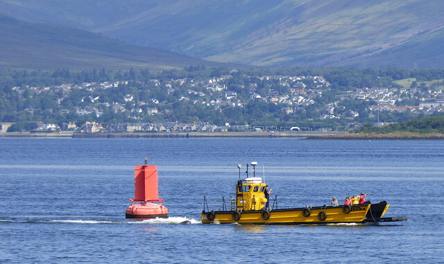
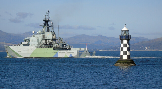
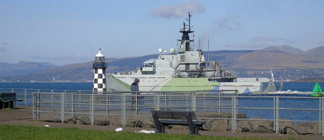
One of the main attractions in Fyfe Shore is its proximity to the River Clyde. The riverside offers beautiful scenic walks and cycling routes, allowing residents and tourists to enjoy the natural beauty of the area. In addition, there are several marinas and boat clubs that cater to water sports enthusiasts and provide opportunities for boating and fishing.
Fyfe Shore also benefits from excellent transport links, with regular bus services connecting the village to nearby towns and cities. The nearby M8 motorway provides easy access to Glasgow and other major cities in the region.
Overall, Fyfe Shore offers a peaceful and picturesque setting, making it an attractive place to live for those seeking a relaxed lifestyle close to nature, while still having access to urban amenities.
If you have any feedback on the listing, please let us know in the comments section below.
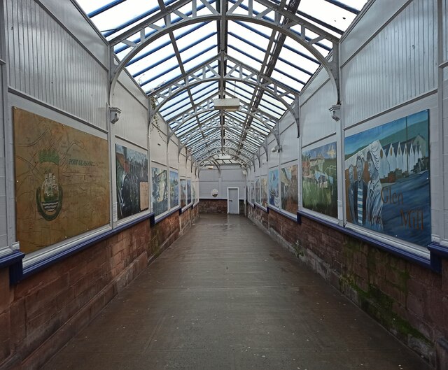
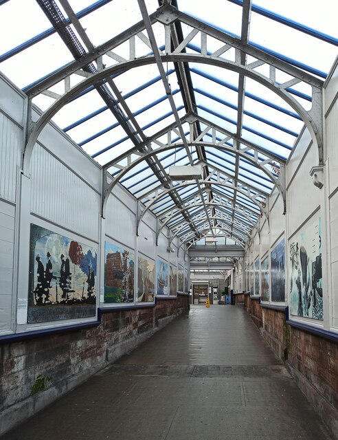
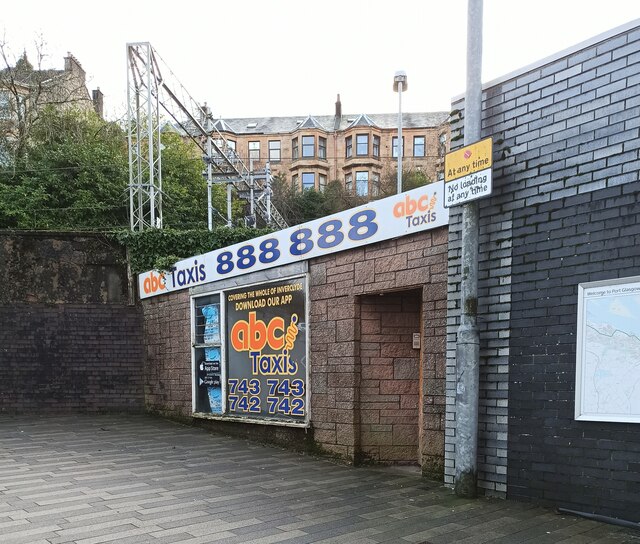
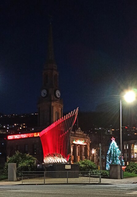
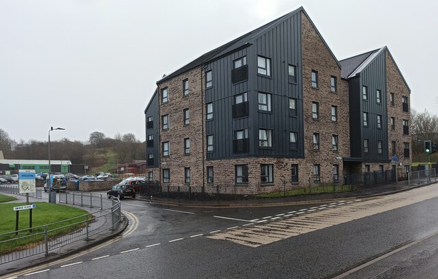
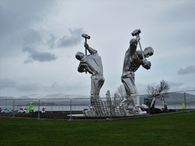
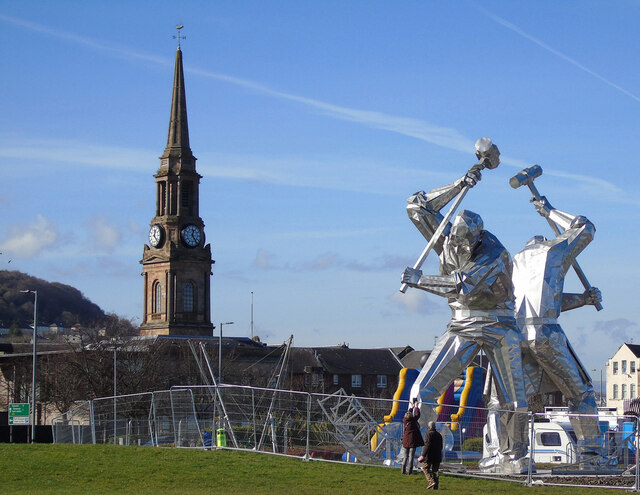
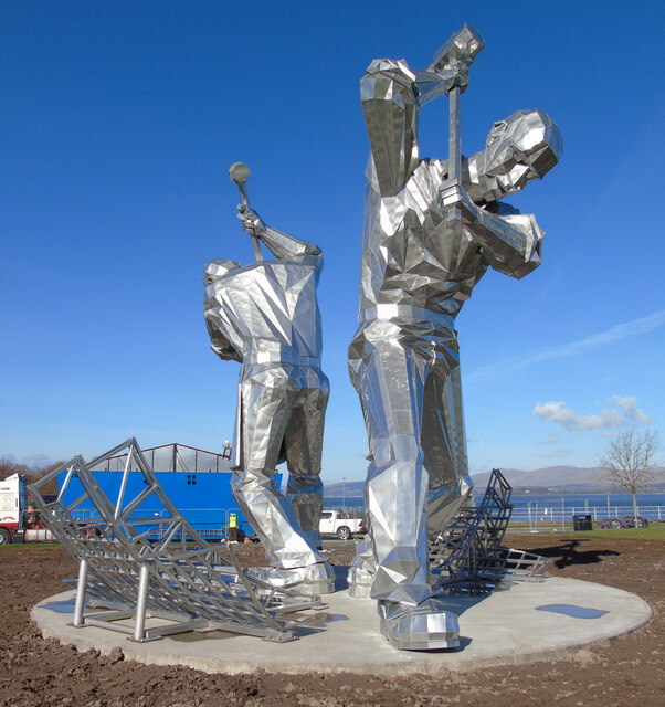
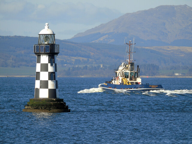
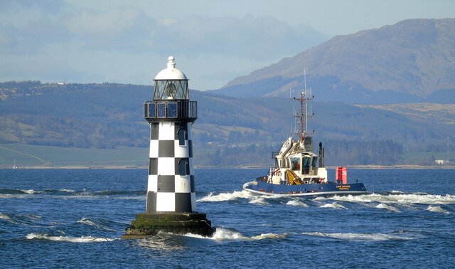
Fyfe Shore Images
Images are sourced within 2km of 55.934424/-4.68244 or Grid Reference NS3274. Thanks to Geograph Open Source API. All images are credited.


Fyfe Shore is located at Grid Ref: NS3274 (Lat: 55.934424, Lng: -4.68244)
Unitary Authority: Inverclyde
Police Authority: Renfrewshire and Inverclyde
What 3 Words
///messing.swordfish.cherubs. Near Port Glasgow, Inverclyde
Nearby Locations
Related Wikis
Bouverie, Port Glasgow
Bouverie is an area of the town of Port Glasgow, Inverclyde, Scotland. Bouverie was developed in the late nineteenth century as part of Port Glasgow's...
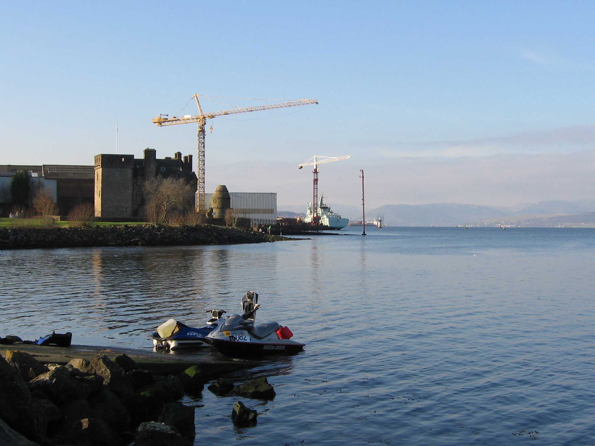
Newark Castle, Port Glasgow
Newark Castle is a well-preserved castle sited on the south shore of the estuary of the River Clyde in Port Glasgow, Inverclyde, Scotland, where the firth...

Town Buildings, Port Glasgow
The Town Buildings, also known as the Municipal Buildings, are in Fore Street, Port Glasgow, Scotland. The structure, which served as the meeting place...
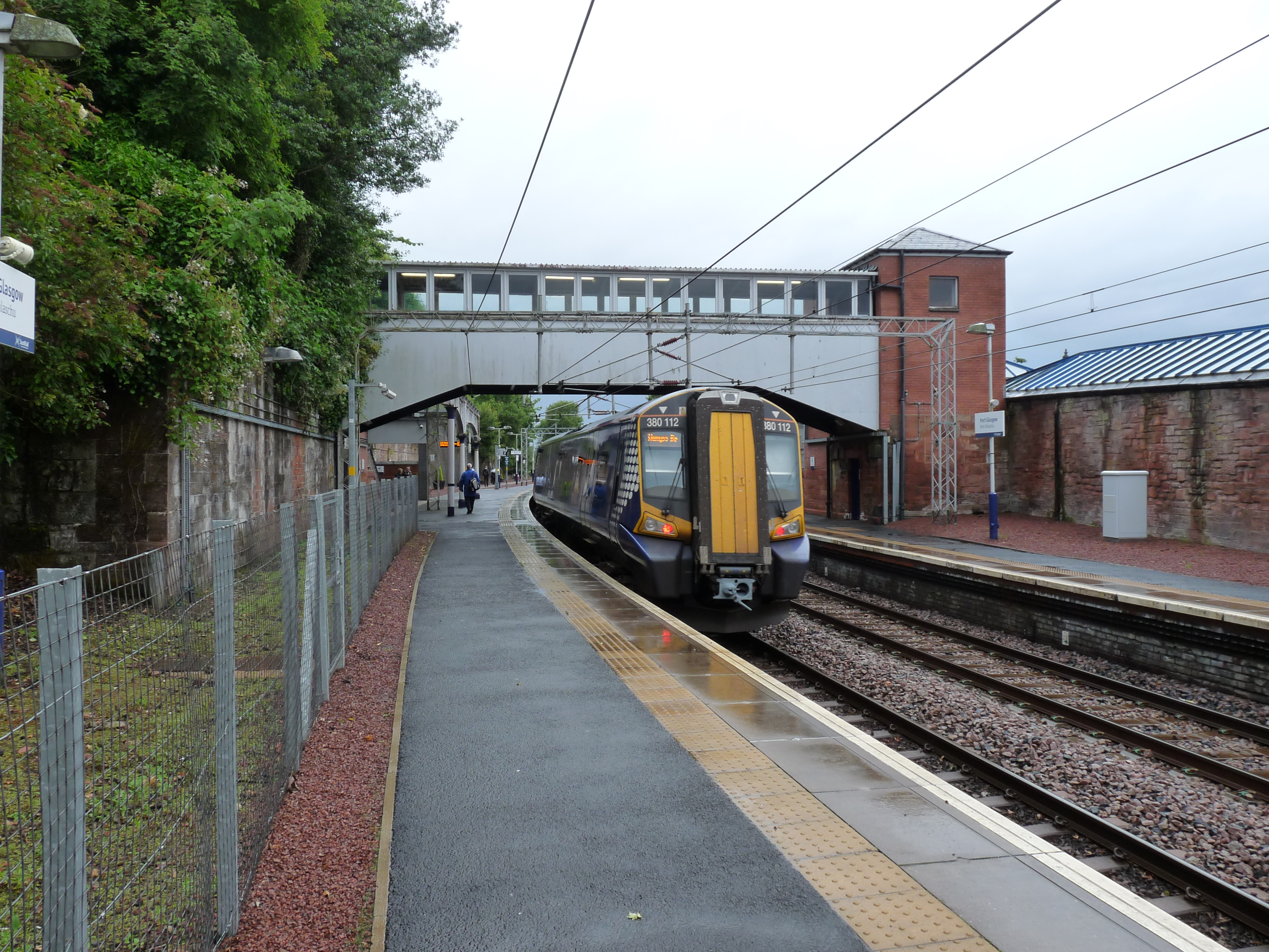
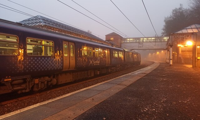
Port Glasgow railway station
Port Glasgow railway station is on the Inverclyde Line, serving the town of Port Glasgow, Scotland. It is located in the town centre with the main entrance...
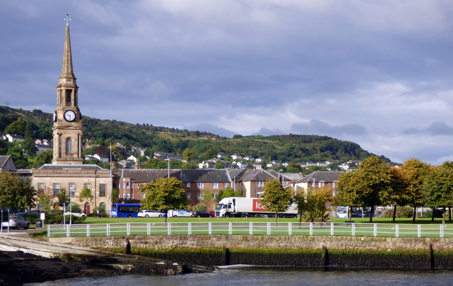
Port Glasgow
Port Glasgow (Scottish Gaelic: Port Ghlaschu, pronounced [pʰɔrˠʃt̪ˈɣl̪ˠas̪əxu]) is the second-largest town in the Inverclyde council area of Scotland....

Clune Park Church, Port Glasgow
Clune Park Church Of Scotland, Robert Street, Port Glasgow is a disused church in the town of Port Glasgow, Scotland. It is located on the partly abandoned...

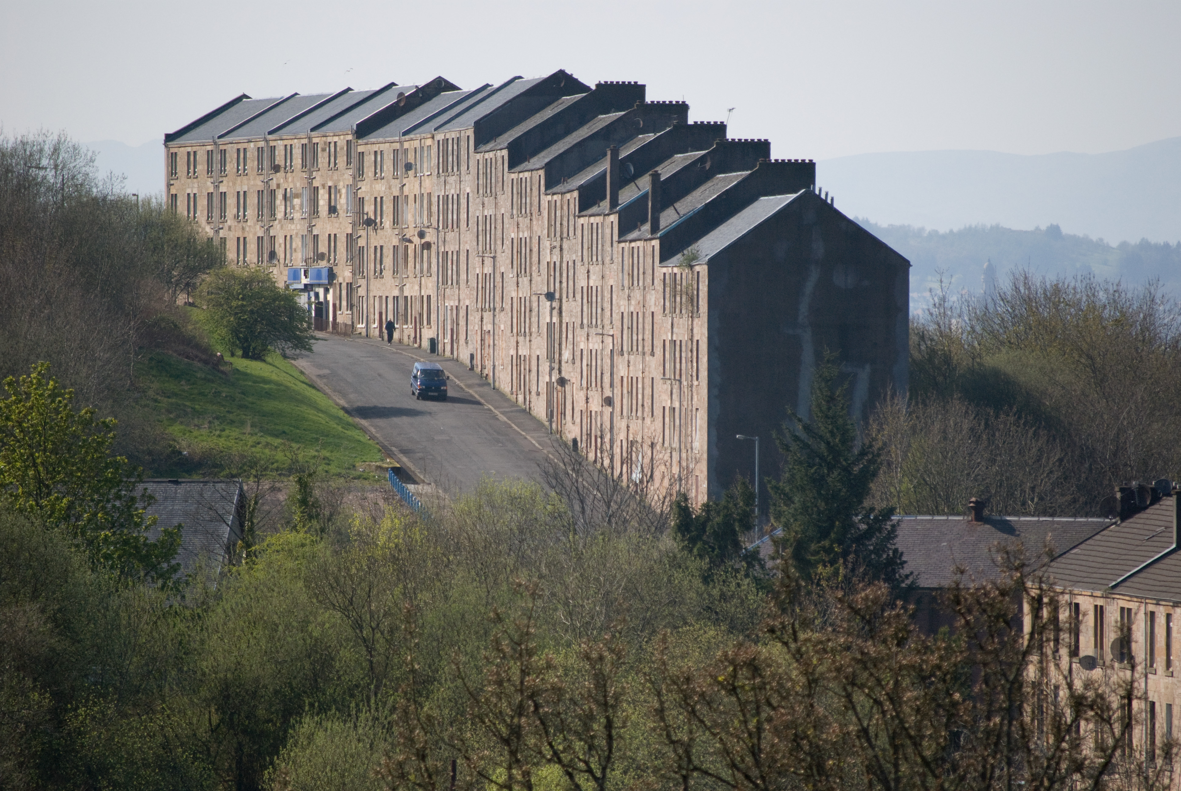
Clune Park
Clune Park was a football ground in Port Glasgow, Scotland. It was the home ground of Port Glasgow Athletic from 1881 until they folded in 1912, and also...

Boglestone
Boglestone (named after the Bogal Stone) is located around the top of the Clune Brae, Port Glasgow, Inverclyde, Scotland. The area includes housing, but...
Nearby Amenities
Located within 500m of 55.934424,-4.68244Have you been to Fyfe Shore?
Leave your review of Fyfe Shore below (or comments, questions and feedback).