Fyfett

Settlement in Somerset Somerset West and Taunton

England

Fyfett

Holman Clavel Inn
Holman Clavel Inn Credit: Rob Purvis

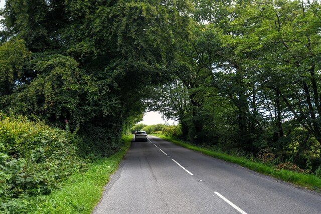
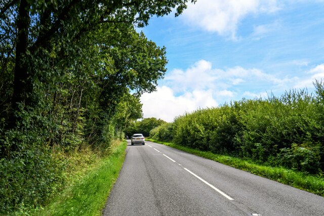
Fyfett is a small village located in the county of Somerset, England. Situated on the southern edge of the Quantock Hills, Fyfett offers stunning views of the surrounding countryside and is known for its tranquil and picturesque setting. The village is nestled amidst rolling green hills and lush meadows, creating a peaceful and idyllic atmosphere.

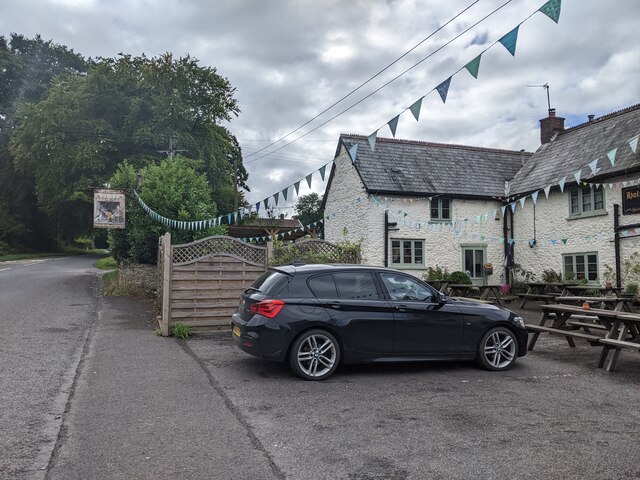
Fyfett is characterized by its charming and traditional architecture, with many of its buildings dating back several centuries. The village mainly consists of stone cottages and houses, adding to its quaint and timeless charm. The local church, St. Mary's, is a prominent landmark in Fyfett and holds historical significance.

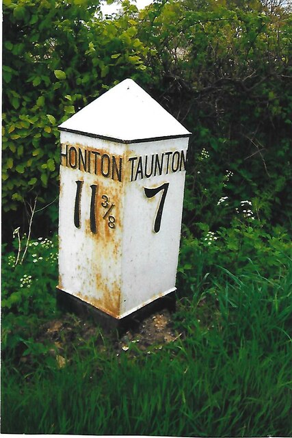
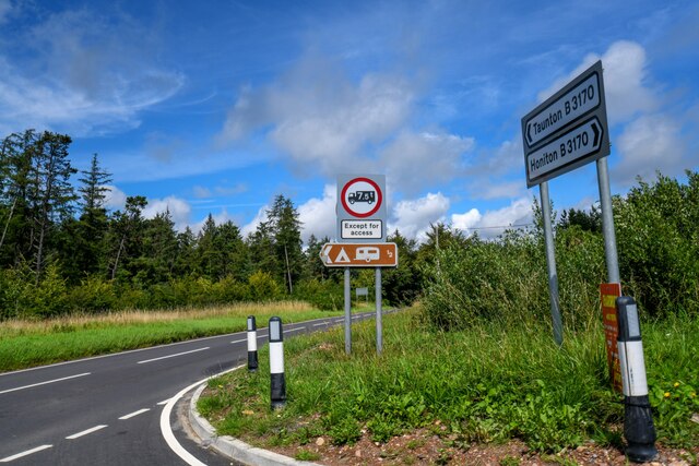
Despite its small size, Fyfett is well-connected to nearby towns and attractions. The bustling market town of Taunton is only a short drive away, offering a range of amenities and services. The stunning coastline of the Bristol Channel is also easily accessible, providing opportunities for scenic walks and coastal activities.

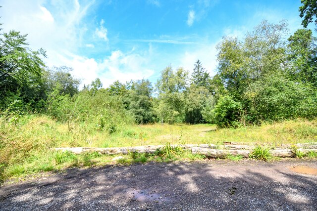
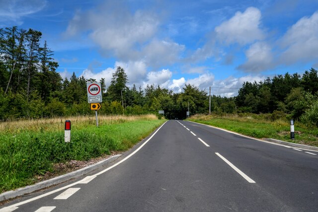
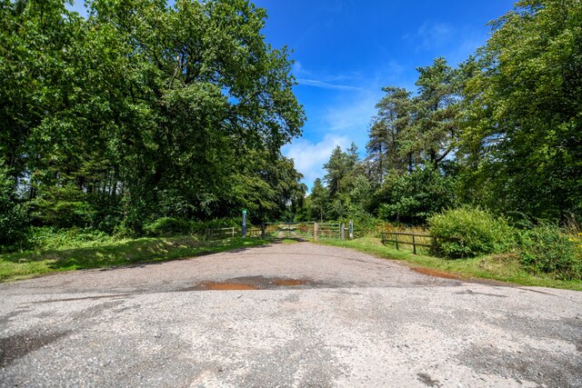
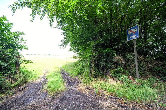
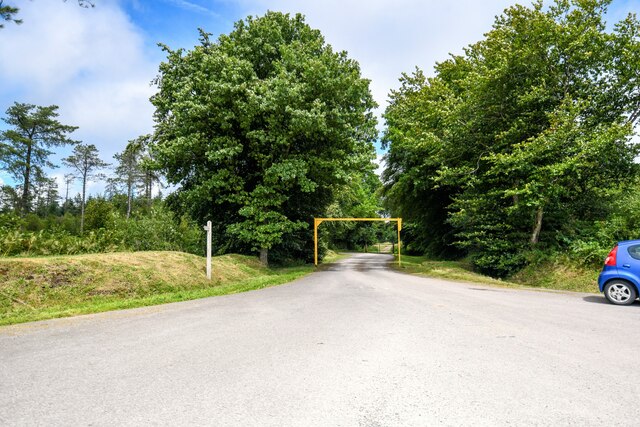
The surrounding countryside offers ample opportunities for outdoor enthusiasts. The Quantock Hills, designated as an Area of Outstanding Natural Beauty, are a haven for hikers, cyclists, and nature lovers. The hills are home to diverse flora and fauna, including ancient oak woodlands and open moorland.

Fyfett is a close-knit community, with a friendly and welcoming atmosphere. The village hosts various events and gatherings throughout the year, fostering a sense of community spirit among its residents. Overall, Fyfett is a hidden gem in the heart of Somerset, offering a peaceful retreat and a glimpse into the traditional English countryside.

If you have any feedback on the listing, please let us know in the comments section below.

Fyfett Images

Images are sourced within 2km of 50.92487/-3.092416 or Grid Reference ST2314. Thanks to Geograph Open Source API. All images are credited.

Holman Clavel Inn
Holman Clavel Inn
Old Milepost by B3170, near Walland Farm and cross roads at North Down The Milepost is located on grassy bank on the East of the road.  Parish of Otterford (Taunton Deane District). Cast iron post, Taunton Allen iron casting design, erected by the Local Highways Board in the 19th Century, repainted by SCC in 2007 but already going rusty. An earlier photograph can be found here: <a title="https://www.geograph.org.uk/photo/6051358" href="https://www.geograph.org.uk/photo/6051358">Link</a> 

Inscription reads:-  HONITON / 11 3/8 / : : TAUNTON / 7  

Grade II listed. List Entry Number: 1060231 <span class="nowrap"><a title="https://historicengland.org.uk/listing/the-list/list-entry/1060231" rel="nofollow ugc noopener" href="https://historicengland.org.uk/listing/the-list/list-entry/1060231">Link</a><img style="margin-left:2px;" alt="External link" title="External link - shift click to open in new window" src="https://s1.geograph.org.uk/img/external.png" width="10" height="10"/></span> 

Milestone Society National ID: SO_TAHO07
Old Milepost by B3170, near Walland Farm and cross roads at North Down
The Milepost is located on grassy bank on the East of the road.  Parish of Otterford (Taunton Deane District). Cast iron post, Taunton Allen iron casting design, erected by the Local Highways Board in the 19th Century, repainted by SCC in 2007 but already going rusty. An earlier photograph can be found here: Link  Inscription reads:- HONITON / 11 3/8 / : : TAUNTON / 7 Grade II listed. List Entry Number: 1060231 LinkExternal link Milestone Society National ID: SO_TAHO07
Otterford : Roadside Looking alongside Neroche Road.
Otterford : Roadside
Looking alongside Neroche Road.
Otterford : B3170 Looking along the B3170.
Otterford : B3170
Looking along the B3170.
Otterford : B3170 Looking along the B3170.
Otterford : B3170
Looking along the B3170.
Otterford : North Down A track leading to North Down Plantation.
Otterford : North Down
A track leading to North Down Plantation.
Staple Fitzpaine : Track A track into the grassy field off Neroche Road.
Staple Fitzpaine : Track
A track into the grassy field off Neroche Road.
Staple Fitzpaine : Neroche Road Looking along Neroche Road.
Staple Fitzpaine : Neroche Road
Looking along Neroche Road.
Staple Fitzpaine : Neroche Road Looking along Neroche Road.
Staple Fitzpaine : Neroche Road
Looking along Neroche Road.
Staple Fitzpaine : Car Park Entrance Looking towards the entrance to the car park.
Staple Fitzpaine : Car Park Entrance
Looking towards the entrance to the car park.
Buckland St Mary : Grassy Field A track heads through the field.
Buckland St Mary : Grassy Field
A track heads through the field.
Buckland St Mary : Rackley Lane Looking along a country lane.
Buckland St Mary : Rackley Lane
Looking along a country lane.
Buckland St Mary : Hornsey Lane Looking along Hornsey Lane.
Buckland St Mary : Hornsey Lane
Looking along Hornsey Lane.
Buckland St Mary : Farm Green Lane Looking along a country lane.
Buckland St Mary : Farm Green Lane
Looking along a country lane.
Buckland St Mary : Cattle Grazing Cows in a field.
Buckland St Mary : Cattle Grazing
Cows in a field.
Buckland St Mary : Cattle Grazing A cow in a field.
Buckland St Mary : Cattle Grazing
A cow in a field.
Buckland St Mary : Farm Green Lane Looking down the hill.
Buckland St Mary : Farm Green Lane
Looking down the hill.
Buckland St Mary : Muddy Field A muddy and wet area.
Buckland St Mary : Muddy Field
A muddy and wet area.
Show me another place!

Fyfett is located at Grid Ref: ST2314 (Lat: 50.92487, Lng: -3.092416)

Administrative County: Somerset

District: Somerset West and Taunton

Police Authority: Avon and Somerset

What 3 Words

///micro.merchant.assets. Near Hemyock, Devon

Nearby Locations

Fyfett

Related Wikis

Otterford

Otterford is a village and civil parish in Somerset, England. It is situated on the Blackdown Hills, 7 miles (11.3 km) south of Taunton. The village has...

Otterhead Lakes

Otterhead Lakes are a pair of reservoirs in the Blackdown Hills Area of Outstanding Natural Beauty south of Otterford in Somerset, England. They are fed...

Church of St Leonard, Otterford

The Anglican Church of St Leonard in Otterford, Somerset, England was built in the 14th century. It is a Grade II* listed building. == History == The church...

Deadman SSSI, Somerset

Deadman (grid reference ST234156) is a 28.8 hectare (71.2 acre) biological Site of Special Scientific Interest on the edge of the Blackdown Hills, near...

Robin Hood's Butts

Robin Hood's Butts are a group of nine Bronze Age barrows near Otterford on the Blackdown Hills in Somerset, England. They have been scheduled as ancient...

Staple Hill (Somerset)

Staple Hill is a hill in the English county of Somerset, the highest point in the Blackdown Hills. It is classed as both a Marilyn and a Hardy.This is...

Bishopswood Meadows

Bishopswood Meadows is a nature reserve situated within the Blackdown Hills Area of Outstanding Natural Beauty in the county of Somerset, England. The...

RAF Culmhead

Royal Air Force Culmhead or more simply RAF Culmhead is a former Royal Air Force station, situated at Churchstanton on the Blackdown Hills in Somerset...

Nearby Amenities

Located within 500m of 50.92487,-3.092416
Robin Hood's Butts
Archaeological Site: tumulus
Historic: archaeological_site
Lat/Long: 50.9236034/-3.0970937
Robin Hood's Butts
Archaeological Site: tumulus
Historic: archaeological_site
Lat/Long: 50.9233664/-3.0969865
Robin Hood's Butts
Archaeological Site: tumulus
Historic: archaeological_site
Lat/Long: 50.9238466/-3.0972005
Fyfett
Place: hamlet
Lat/Long: 50.9245562/-3.0932505
Power: pole
Source: bing
Lat/Long: 50.9219602/-3.0877242
The data included in this document is from www.openstreetmap.org. The data is made available under ODbL.

Have you been to Fyfett?

Leave your review of Fyfett below (or comments, questions and feedback).