Polygon
Settlement in Hampshire
England
Polygon
Polygon is a residential area located in Southampton, Hampshire, England. It is situated just north of the city center and is bordered by several major roads, including The Avenue and Hill Lane. The area is known for its Victorian-style properties and tree-lined streets, which give it a charming and picturesque atmosphere.
Polygon is primarily a residential area, attracting a diverse mix of residents including families, young professionals, and students due to its close proximity to the University of Southampton. The housing stock in the area consists mainly of terraced houses and converted flats, with a few larger detached properties scattered throughout.
The neighborhood benefits from its convenient location, with easy access to a range of amenities and facilities. Within walking distance, residents can find a selection of local shops, cafes, and restaurants, as well as several supermarkets for everyday needs. The area is well-served by public transport, with regular bus services connecting it to the city center and surrounding areas.
Polygon is also home to several green spaces, including the popular Palmerston Park, which offers residents a peaceful retreat from the urban environment. The park features beautiful landscaped gardens, a children's play area, and a small pond.
Overall, Polygon offers a desirable place to live, combining the charm of Victorian architecture with the convenience of modern amenities and a central location.
If you have any feedback on the listing, please let us know in the comments section below.
Polygon Images
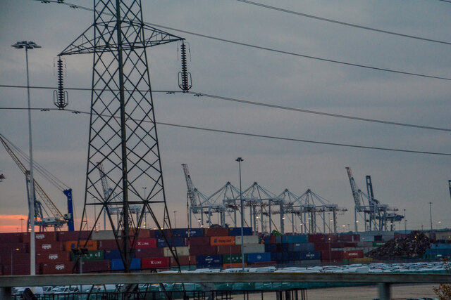
Images are sourced within 2km of 50.90952/-1.411117 or Grid Reference SU4112. Thanks to Geograph Open Source API. All images are credited.


Polygon is located at Grid Ref: SU4112 (Lat: 50.90952, Lng: -1.411117)
Unitary Authority: Southampton
Police Authority: Hampshire
What 3 Words
///host.shadow.entertainer. Near Southampton, Hampshire
Nearby Locations
Related Wikis
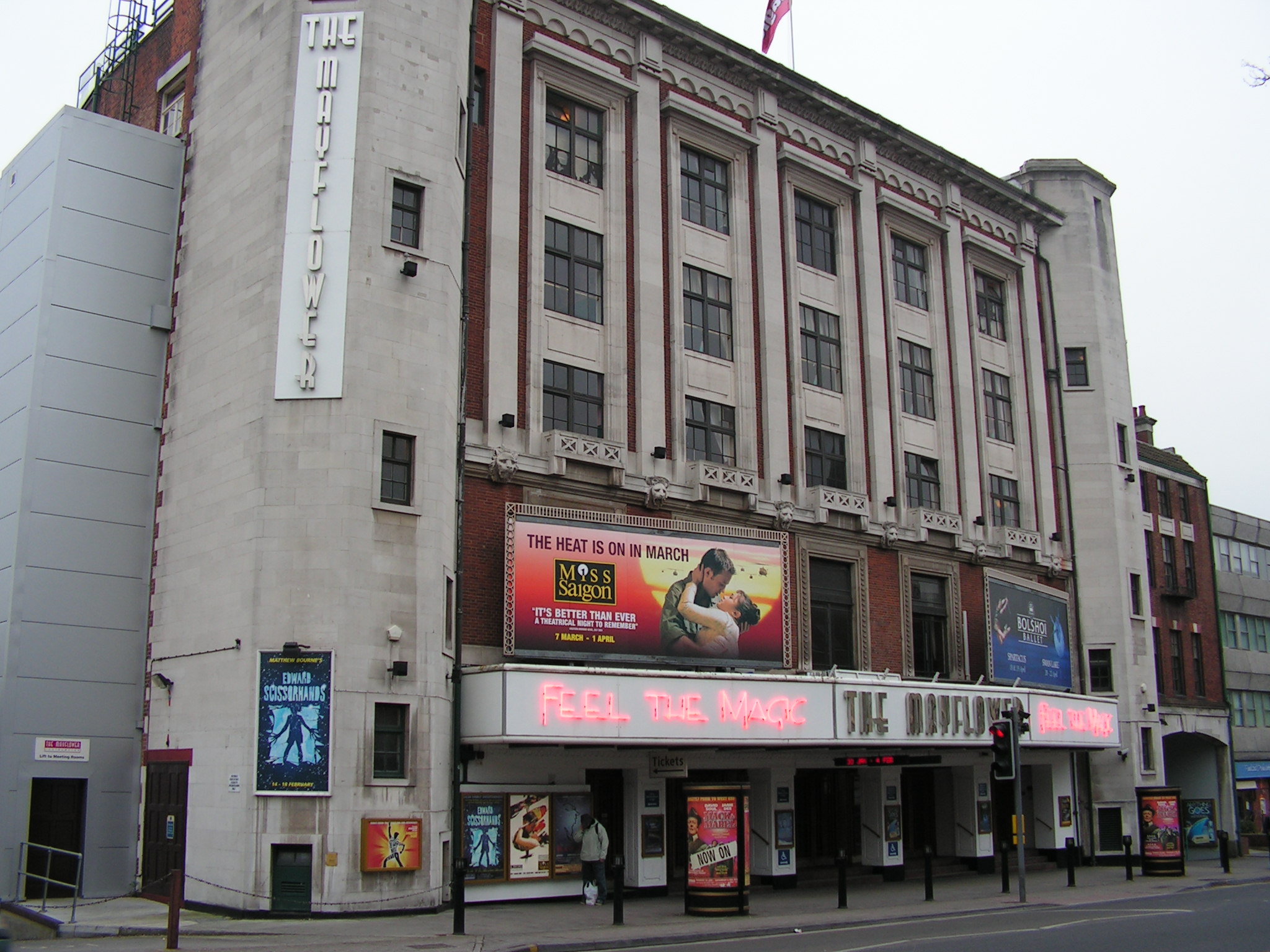
Mayflower Theatre
Mayflower Theatre (formerly the Gaumont Theatre and originally The Empire Theatre) is a Grade II listed theatre in the city centre of Southampton, England...

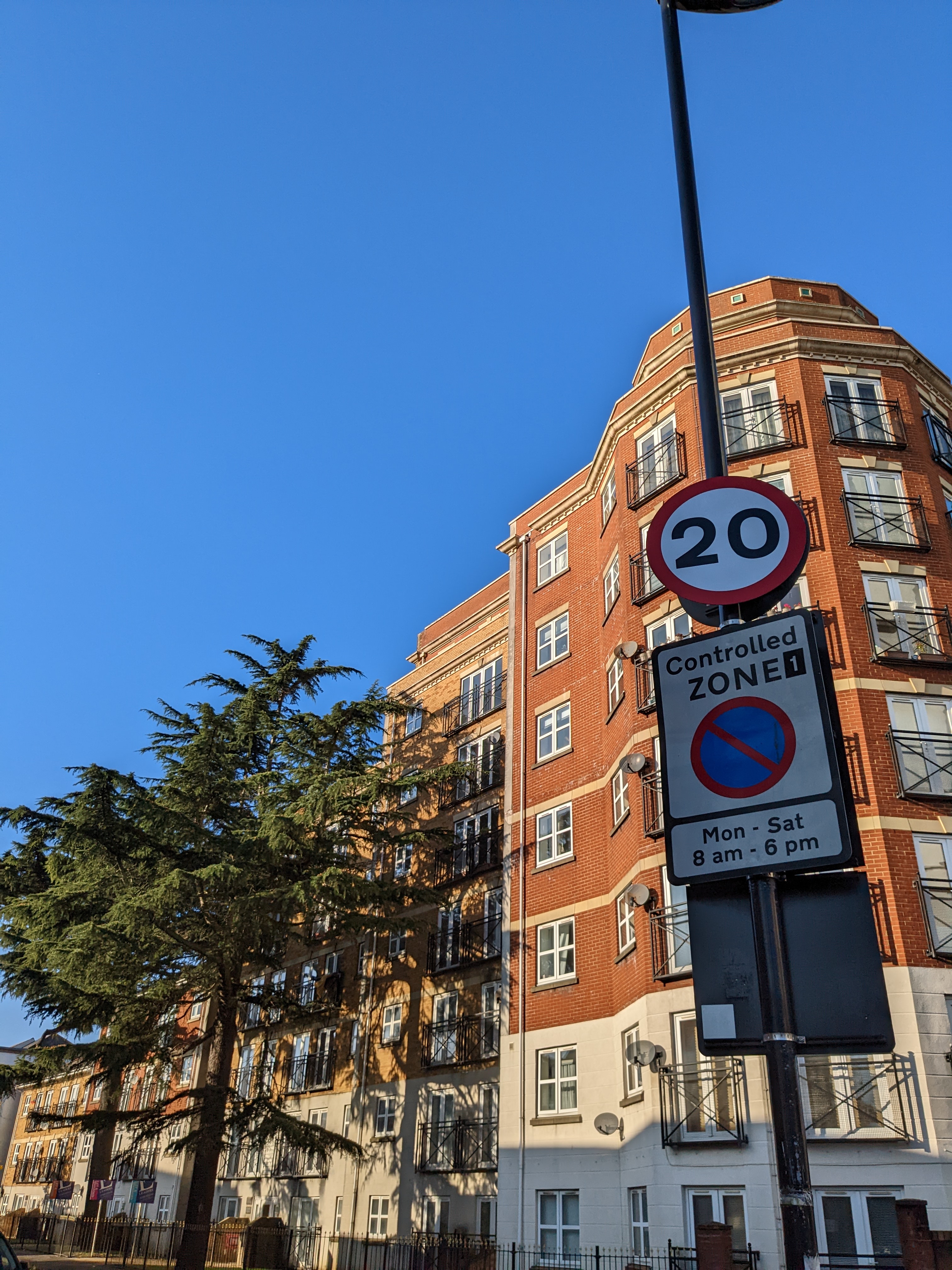
Wyndham Court
Wyndham Court is a block of social housing in Southampton, England. It was designed by Lyons Israel Ellis for Southampton City Council in 1966, and is...
The Polygon, Southampton
The Polygon (or simply Polygon) is an area in the city of Southampton, England. The area is located north of the Western Esplanade, Commercial Road and...
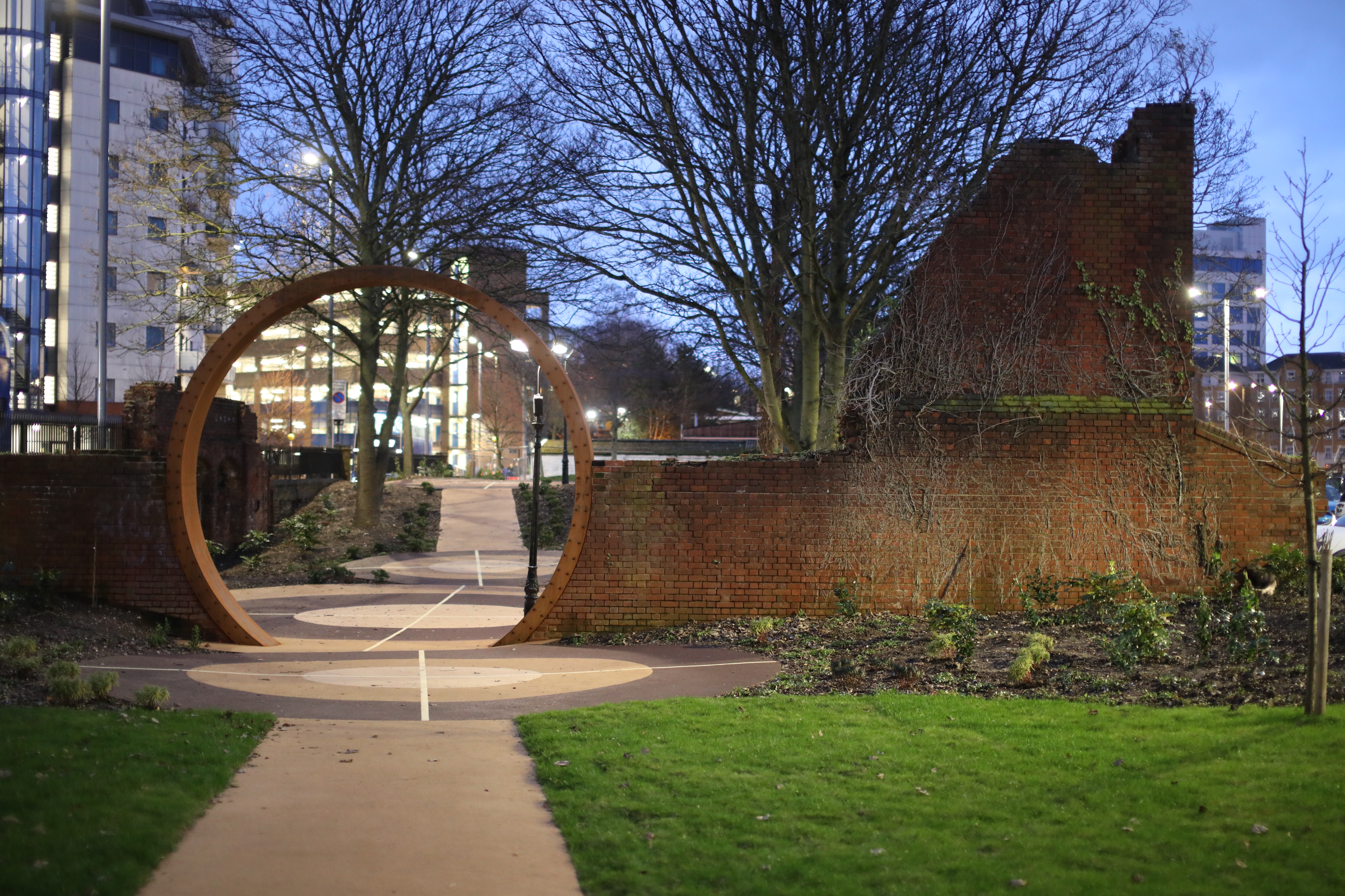
Blechynden Terrace Park
Blechynden Terrace Park or Blechynden Gardens is a park in Southampton, Hampshire, England. It lies within the remains of the Emperia Building, which was...
Related Videos

How to use the P&O My Holiday App!
Here's everything you need to know about how to access the P&O My Holiday App to get the most out of your cruise holiday, ...

My 2 Nights onboard MSC VIRTUOSA was a BIG Surprise
This was one of the most eventful cruises I think I've ever been on! Welcome to my full experience of sailing 2 nights onboard MSC ...

1 Week on board P&O Aurora Cruising Spain & France (part 1 of 3)
1 Week on board P&O Aurora Cruising Spain & France (part 1 of 3) Here's the big one! Join us for our embarkation day on P&O ...

Worst Cruise Ever
You know I am usually very positive and try my absolute best to enjoy my holidays (obviously, otherwise what's the point?) but my ...
Nearby Amenities
Located within 500m of 50.90952,-1.411117Have you been to Polygon?
Leave your review of Polygon below (or comments, questions and feedback).