Birtley
Settlement in Durham
England
Birtley
Birtley is a small town located in the county of Durham, in the northeast of England. It falls under the jurisdiction of the Metropolitan Borough of Gateshead and is situated approximately 7 miles south of Newcastle upon Tyne. Birtley is known for its industrial past, with coal mining being a significant part of its history.
The town has a population of around 11,000 residents and is predominantly residential, with a mixture of housing types ranging from traditional terraced houses to modern developments. Birtley benefits from its close proximity to major transportation routes, including the A1(M) motorway, which provides easy access to nearby cities and towns.
Birtley offers a range of amenities and services to its residents. The town center features a variety of shops, including supermarkets, convenience stores, and local businesses. There are also several pubs, restaurants, and cafes, providing options for dining and socializing.
Education in Birtley is well-served, with a number of primary and secondary schools located within the town. These schools provide a high standard of education for local children and contribute to the strong sense of community that exists in Birtley.
The town also has a strong sporting culture, with several sports facilities and clubs available for residents to enjoy. Birtley Leisure Center offers a range of facilities, including a swimming pool, gym, and sports hall, catering to a variety of sporting interests.
Overall, Birtley is a small but vibrant town that offers a good quality of life for its residents, with its convenient location, range of amenities, and strong community spirit.
If you have any feedback on the listing, please let us know in the comments section below.
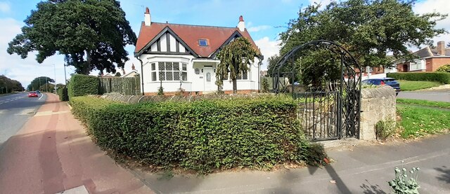
Birtley Images
Images are sourced within 2km of 54.896397/-1.5776878 or Grid Reference NZ2755. Thanks to Geograph Open Source API. All images are credited.


Birtley is located at Grid Ref: NZ2755 (Lat: 54.896397, Lng: -1.5776878)
Unitary Authority: Gateshead
Police Authority: Northumbria
What 3 Words
///leaned.expert.enter. Near Lamesley, Tyne & Wear
Nearby Locations
Related Wikis

Birtley, Tyne and Wear
Birtley is a town in the Metropolitan Borough of Gateshead, in Tyne and Wear, England. It is situated to the south of Gateshead and is conjoined to Chester...
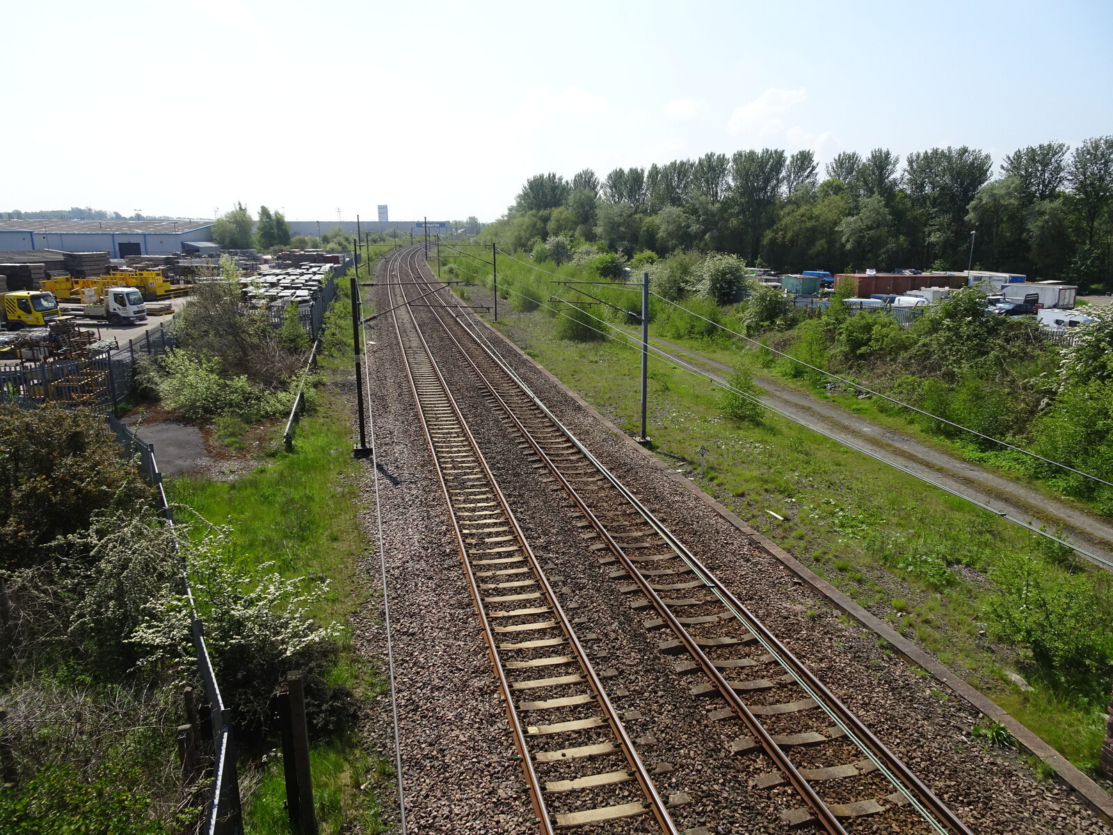
Birtley railway station
Birtley railway station served the town of Birtley, Tyne and Wear, England, from 1868 to 1955 on the East Coast Main Line. == History == The station opened...

Lord Lawson of Beamish Academy
Lord Lawson of Beamish Academy (formerly Lord Lawson of Beamish Community School) is a coeducational secondary school and sixth form located in the town...
Birtley Town F.C.
Birtley Town Football Club is a football club based in Birtley, Tyne and Wear, England. They are currently members of the Northern League Division One...
Nearby Amenities
Located within 500m of 54.896397,-1.5776878Have you been to Birtley?
Leave your review of Birtley below (or comments, questions and feedback).