Birtley

Settlement in Herefordshire

England

Birtley

Road junction at the centre of Lingen looking north
Road junction at the centre of Lingen Credit: Andrew Longton

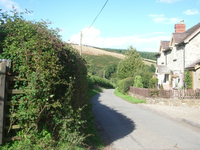
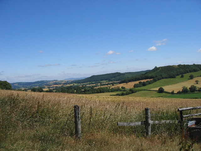
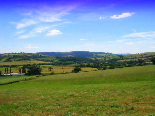
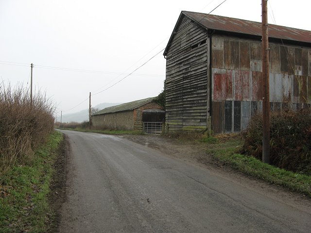
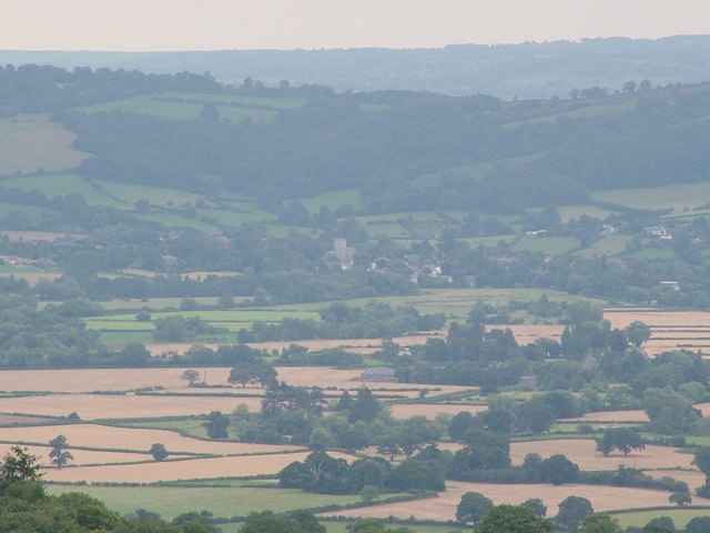
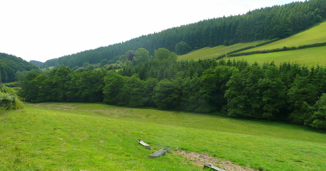
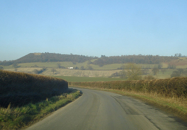
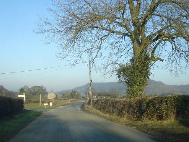
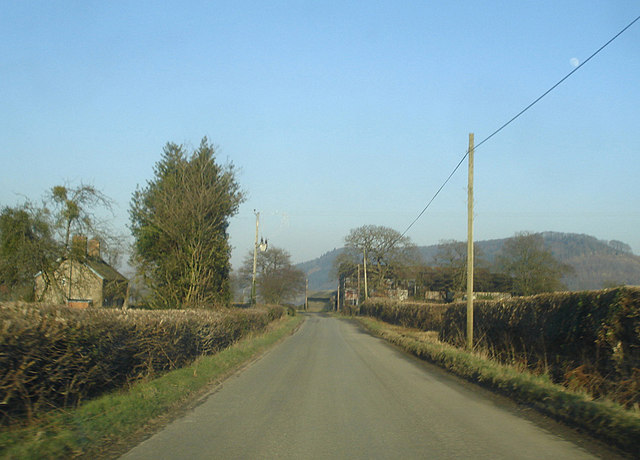
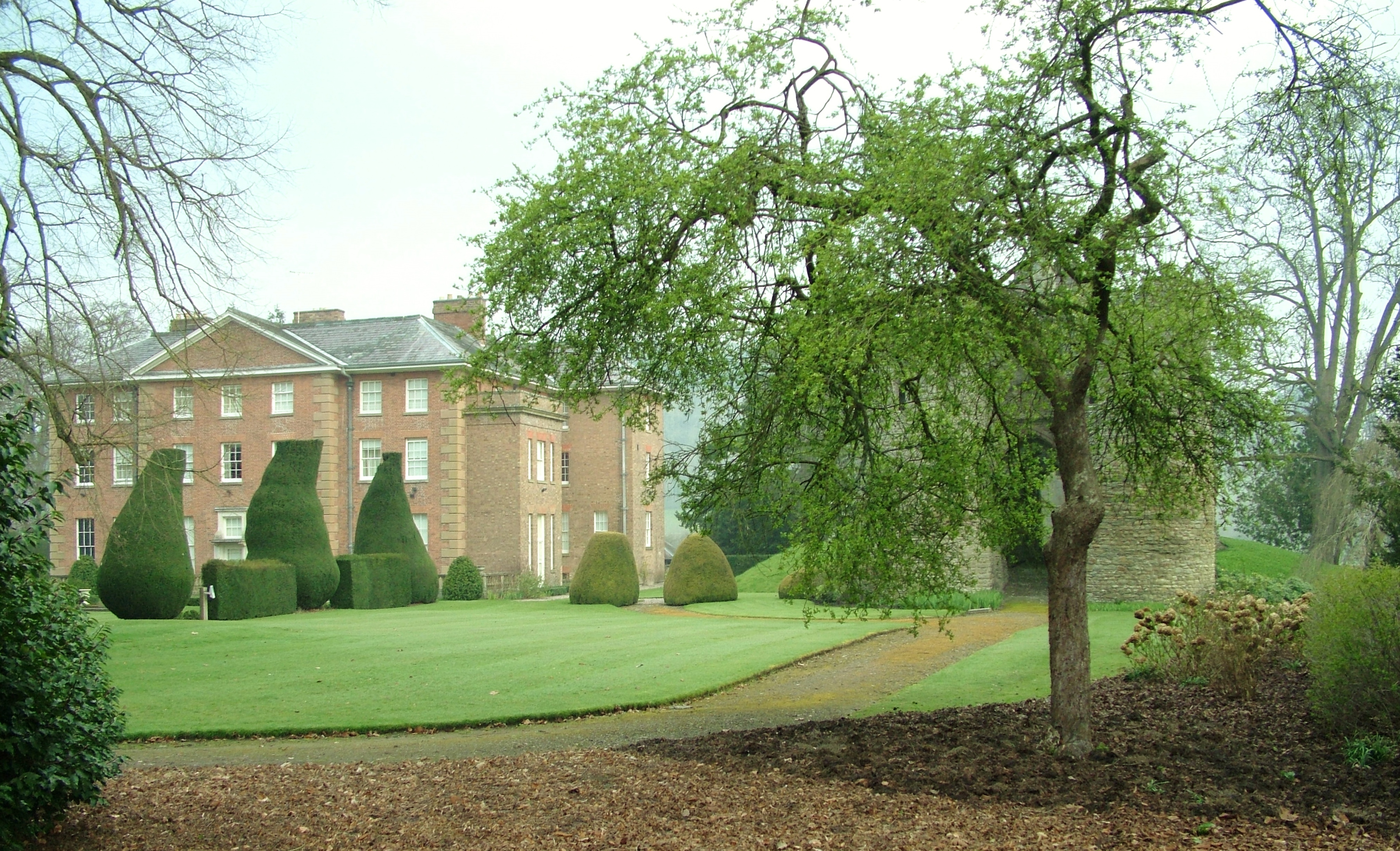
Birtley is a small village located in the county of Herefordshire, England. Situated in the picturesque countryside, it is surrounded by lush green fields and rolling hills. The village lies within close proximity to the larger towns of Leominster and Hereford, making it easily accessible for residents and visitors alike.

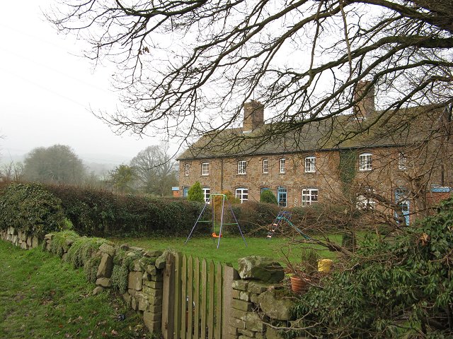
With a population of approximately 200 people, Birtley offers a peaceful and close-knit community atmosphere. The village is characterized by its charming, traditional English cottages and well-maintained gardens. The local church, St. James' Church, adds to the village's quaint appeal, with its beautiful architecture and historical significance.

Although small in size, Birtley boasts a range of amenities for its residents. The village is home to a primary school, providing education for the younger members of the community. Additionally, there is a village hall where various social events and gatherings take place, fostering a strong sense of community spirit.

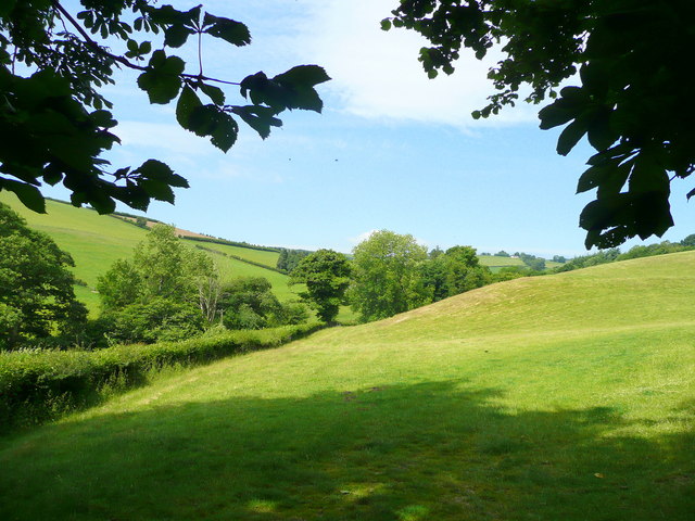
Nature lovers will appreciate Birtley's scenic surroundings, as the village is located near several walking trails and nature reserves. These offer opportunities for outdoor activities such as hiking, birdwatching, and exploring the local flora and fauna.

Overall, Birtley is a charming and idyllic village in Herefordshire, providing residents with a peaceful and picturesque lifestyle. Its close-knit community, beautiful countryside, and range of amenities make it an attractive place to live and visit.

If you have any feedback on the listing, please let us know in the comments section below.
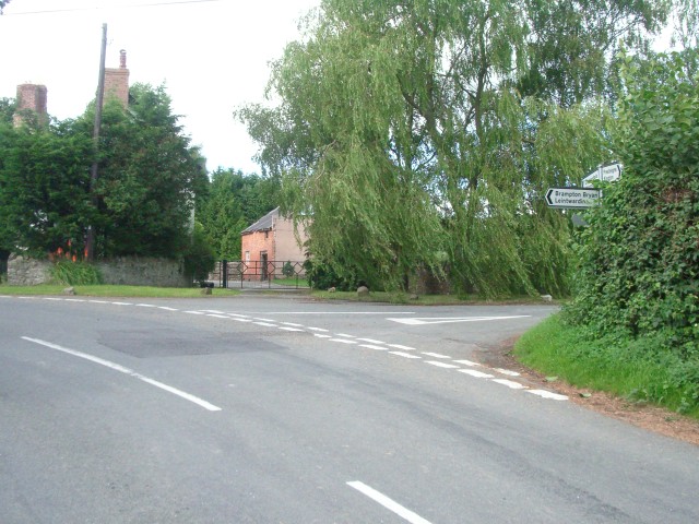
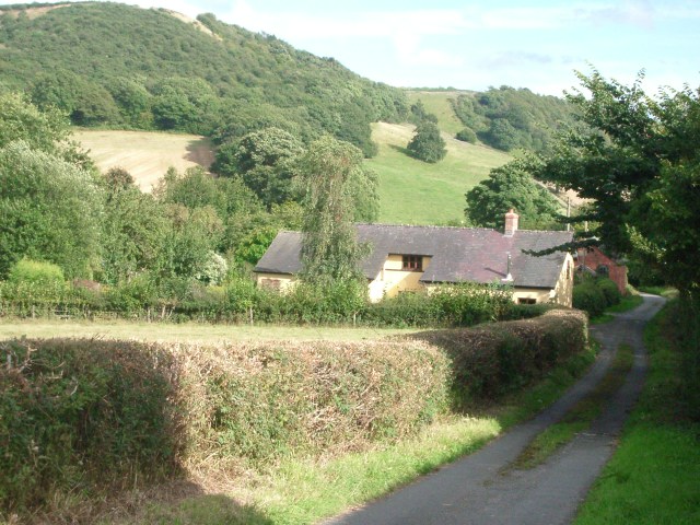
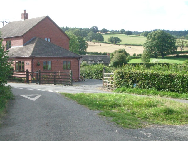
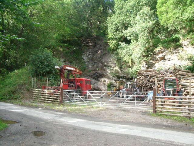
Birtley Images

Images are sourced within 2km of 52.319831/-2.9341488 or Grid Reference SO3669. Thanks to Geograph Open Source API. All images are credited.

Road junction at the centre of Lingen looking north
Road junction at the centre of Lingen
looking north
The lane between Birtley Cross and Birtley looking east towards The Mount
The lane between Birtley Cross and Birtley
looking east towards The Mount
Road junction at Birtley looking north-west along the lane from Birtley Cross
Road junction at Birtley
looking north-west along the lane from Birtley Cross
Old quarry west of Birtley at the southern edge of Pedwardine Wood
Old quarry west of Birtley
at the southern edge of Pedwardine Wood
The lane near Boresford Farm looking north
The lane near Boresford Farm
looking north
Hillside south of Cwm-Crave Wood Looking North along the valley above Lingen
Hillside south of Cwm-Crave Wood
Looking North along the valley above Lingen
The Farlands Shobdon Hill Wood in the distance
The Farlands
Shobdon Hill Wood in the distance
Quarry above Deerfold Limestone quarry, now overgrown, above Deerfold Cottage.
Quarry above Deerfold
Limestone quarry, now overgrown, above Deerfold Cottage.
The Mount Large hilltop house.
The Mount
Large hilltop house.
Newton Newton is simply a farm and row of terraced houses.
Newton
Newton is simply a farm and row of terraced houses.
Newton Row of houses, Newton
Newton
Row of houses, Newton
Leintwardine from Harley's Mountain Leintwardine in the distance from Harley's Mountain, Birtley.
Leintwardine from Harley's Mountain
Leintwardine in the distance from Harley's Mountain, Birtley.
Grazing land east of Boresford Farm The valley is wedged between Harley's Mountain to the left and Oak Hill to the right.
Grazing land east of Boresford Farm
The valley is wedged between Harley's Mountain to the left and Oak Hill to the right.
Wooded valley View between Birtley and Boresford Farm, looking east.
The wood on the hillside is Arthur Ridges Wood.
Wooded valley
View between Birtley and Boresford Farm, looking east. The wood on the hillside is Arthur Ridges Wood.
The Mount From the lane north of Lingen looking north-east to The Mount and Deerfold Cottage on its flank.
The Mount
From the lane north of Lingen looking north-east to The Mount and Deerfold Cottage on its flank.
Birtley Scattered houses make up this little community. Looking north-east along the road to Letton with a left turn for Birtley village. In the distance is the wooded hillside of Wigmore Rolls.
Birtley
Scattered houses make up this little community. Looking north-east along the road to Letton with a left turn for Birtley village. In the distance is the wooded hillside of Wigmore Rolls.
Newton View north-east along the road to Letton. The buildings of Newton Farm on the right and Newton Cottage on the left. Wigmore Rolls on the right horizon.
Newton
View north-east along the road to Letton. The buildings of Newton Farm on the right and Newton Cottage on the left. Wigmore Rolls on the right horizon.
Road to Letton Looking north-east with Wigmore Rolls on the right.
Road to Letton
Looking north-east with Wigmore Rolls on the right.
Show me another place!

Birtley is located at Grid Ref: SO3669 (Lat: 52.319831, Lng: -2.9341488)

Unitary Authority: County of Herefordshire

Police Authority: West Mercia

What 3 Words

///depths.rekindle.shoving. Near Lingen, Herefordshire

Nearby Locations

Birtley

Related Wikis

Birtley, Herefordshire

Birtley is a hamlet in north Herefordshire, in England. It is situated to the west of Ludlow and Leominster, approximately 16 km (9.9 mi) from both towns...

Lingen, Herefordshire

Lingen is a village and civil parish, situated in the wooded hills of Herefordshire, England in the Welsh Marches, near to the border with Wales and close...

Willey, Herefordshire

Willey is a civil parish in Herefordshire, on the Welsh-English borders. The main source of employment is farming and there were a total of 61 residents...

Brampton Bryan Hall

Brampton Bryan Hall is a 17th-century English country house in the village of Brampton Bryan, Herefordshire. It is still owned by the descendants of Robert...

Nearby Amenities

Located within 500m of 52.319831,-2.9341488
Building: yes
Lat/Long: 52.3195726/-2.936929
Building: yes
Lat/Long: 52.3189431/-2.9334957
Building: yes
Lat/Long: 52.3191398/-2.9302986
Birtley
Place: hamlet
Wikidata: Q3784214
Lat/Long: 52.319566/-2.9334531
Ford: yes
Lat/Long: 52.3182605/-2.9394347
Birtley Knoll
Natural: peak
Source: OS-historic-25k-OSM_Limited
Lat/Long: 52.3167396/-2.9368869
The data included in this document is from www.openstreetmap.org. The data is made available under ODbL.

Have you been to Birtley?

Leave your review of Birtley below (or comments, questions and feedback).