Plas Llanfair

Settlement in Anglesey

Wales

Plas Llanfair

The Menai Straits from Plas Newydd High tide.
The Menai Straits from Plas Newydd Credit: Eric Marsh

The requested URL returned error: 429 Too Many Requests

If you have any feedback on the listing, please let us know in the comments section below.

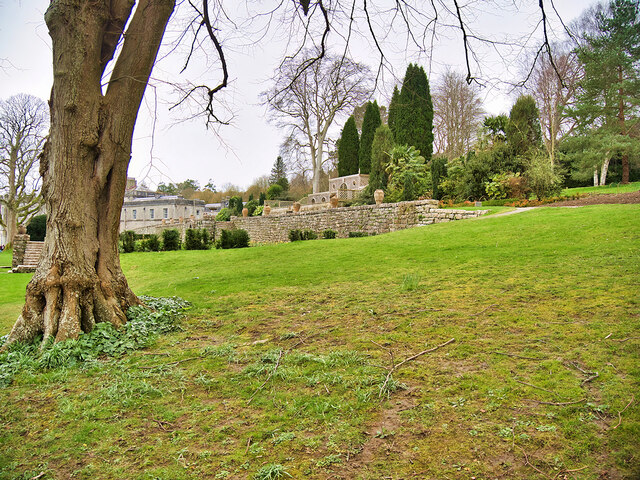
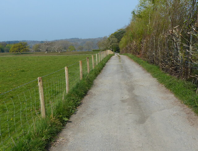
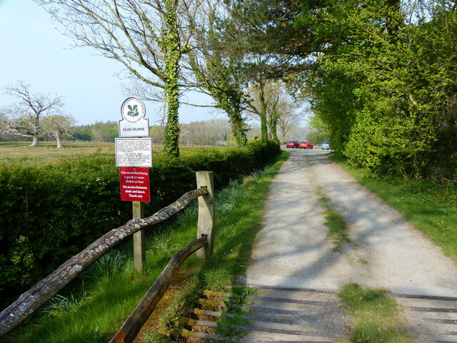
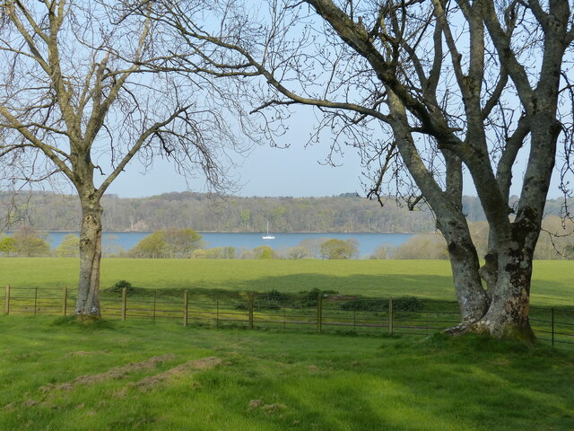
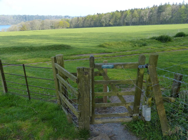
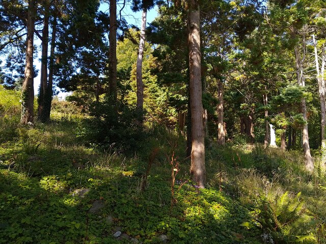
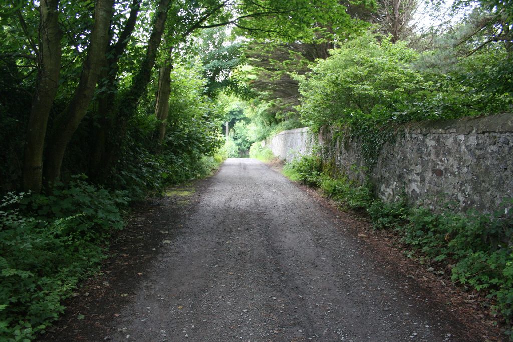
Plas Llanfair Images

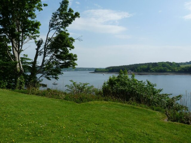
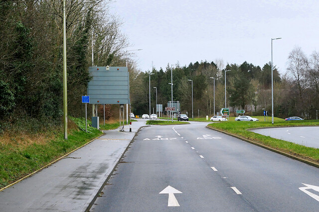
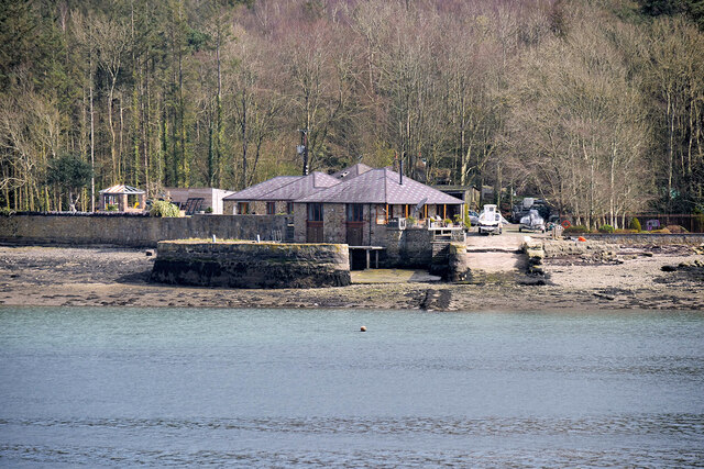
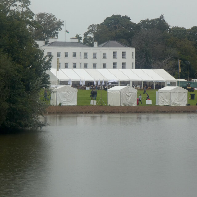
Images are sourced within 2km of 53.217475/-4.196956 or Grid Reference SH5371. Thanks to Geograph Open Source API. All images are credited.

The Menai Straits from Plas Newydd High tide.
The Menai Straits from Plas Newydd
High tide.
A487 at Junction 9 of the North Wales Expressway
Garden feature at Plas Newydd A fountain in the upper terrace garden at Plas Newydd.
Garden feature at Plas Newydd
A fountain in the upper terrace garden at Plas Newydd.
Plas Newydd, Anglesey Plas Newydd (New Mansion in English) has Tudor origins but it was in the 18th century that Sir Nicholas Bayly transformed the house in an architectural style that had echoes of Welsh castles. The house later passed to the Paget family by marriage and Henry Paget was given the title Marquess of Anglesey for his bravery at the Battle of Waterloo in 1815. The present Marquess continues to live here, but the 7th Marquess gave the house to the National Trust in 1976 and it is open to the public. The building is grade II* listed.
Plas Newydd, Anglesey
Plas Newydd (New Mansion in English) has Tudor origins but it was in the 18th century that Sir Nicholas Bayly transformed the house in an architectural style that had echoes of Welsh castles. The house later passed to the Paget family by marriage and Henry Paget was given the title Marquess of Anglesey for his bravery at the Battle of Waterloo in 1815. The present Marquess continues to live here, but the 7th Marquess gave the house to the National Trust in 1976 and it is open to the public. The building is grade II* listed.
Tourist boat on the Menai Strait (Afon Menai) A tourist boat on the Menai Strait next to Plas Newydd.
Tourist boat on the Menai Strait (Afon Menai)
A tourist boat on the Menai Strait next to Plas Newydd.
Dock at NW edge of Vaynol Park Constructed in the mid-nineteenth century (before 1871) to facilitate the transportation of supplies, particularly coal, to and from Vaynol Park.
Dock at NW edge of Vaynol Park
Constructed in the mid-nineteenth century (before 1871) to facilitate the transportation of supplies, particularly coal, to and from Vaynol Park.
Y Faenol yn ystod Gwyl Gȇm Cymru / The Vaynol during the Welsh Game Fair
Italianate Garden at Plas Newydd Plas Newydd (New Mansion in English) has Tudor origins but it was in the 18th century that Sir Nicholas Bayly transformed the house in an architectural style that had echoes of Welsh castles. The house later passed to the Paget family by marriage and Henry Paget was given the title Marquess of Anglesey for his bravery at the Battle of Waterloo in 1815. The present Marquess continues to live here, but the 7th Marquess gave the house to the National Trust in 1976 and it is open to the public. The building is grade II* listed.
Italianate Garden at Plas Newydd
Plas Newydd (New Mansion in English) has Tudor origins but it was in the 18th century that Sir Nicholas Bayly transformed the house in an architectural style that had echoes of Welsh castles. The house later passed to the Paget family by marriage and Henry Paget was given the title Marquess of Anglesey for his bravery at the Battle of Waterloo in 1815. The present Marquess continues to live here, but the 7th Marquess gave the house to the National Trust in 1976 and it is open to the public. The building is grade II* listed.
Farm buildings at Vaynol Hall The Vaynol estate comprises over 1000 acres of parkland, including a garden laid out in Elizabethan times and parkland designed in 1820. The National Trust now owns parts of the estate, but the bulk of the original estate is owned by a private company and is a venue for large events. There is limited public access to the parkland, along roadways and paths from Parc Menai and Gelli Morgan lane. The area around the Old Hall is generally closed to the public.
Farm buildings at Vaynol Hall
The Vaynol estate comprises over 1000 acres of parkland, including a garden laid out in Elizabethan times and parkland designed in 1820. The National Trust now owns parts of the estate, but the bulk of the original estate is owned by a private company and is a venue for large events. There is limited public access to the parkland, along roadways and paths from Parc Menai and Gelli Morgan lane. The area around the Old Hall is generally closed to the public.
Parkland at Vaynol Hall The Vaynol estate comprises over 1000 acres of parkland, including a garden laid out in Elizabethan times and parkland designed in 1820. The National Trust now owns parts of the estate, but the bulk of the original estate is owned by a private company and is a venue for large events. There is limited public access to the parkland, along roadways and paths from Parc Menai and Gelli Morgan lane. The area around the Old Hall is generally closed to the public.
Parkland at Vaynol Hall
The Vaynol estate comprises over 1000 acres of parkland, including a garden laid out in Elizabethan times and parkland designed in 1820. The National Trust now owns parts of the estate, but the bulk of the original estate is owned by a private company and is a venue for large events. There is limited public access to the parkland, along roadways and paths from Parc Menai and Gelli Morgan lane. The area around the Old Hall is generally closed to the public.
Road to the National Trust car park at Glan Faenol
The National Trust car park at Glan Faenol
Menai Strait viewed from Glan Faenol
Path next to the car park at Glan Faenol
Plas Newydd woodland
Italianate terraces at Plas Newydd Full of summer colour.
Italianate terraces at Plas Newydd
Full of summer colour.
Italianate terraces at Plas Newydd Full of summer colour.
Italianate terraces at Plas Newydd
Full of summer colour.
Italianate terraces at Plas Newydd Very bright in the summer sunshine.
Italianate terraces at Plas Newydd
Very bright in the summer sunshine.
Show me another place!

Plas Llanfair is located at Grid Ref: SH5371 (Lat: 53.217475, Lng: -4.196956)

Unitary Authority: Isle of Anglesey

Police Authority: North Wales

What 3 Words

///overpower.shops.workshops. Near Llanfairpwllgwyngyll, Isle of Anglesey

Related Wikis

Plas Llanfair

Plas Llanfair is an area in the community of Llanfair Pwllgwyngyll, Anglesey, Wales, which is 127.6 miles (205.4 km) from Cardiff and 208.5 miles (335...

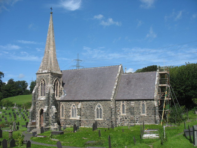
St Mary's Church, Llanfairpwllgwyngyll

St Mary's Church is a Church in Wales parish church in Llanfairpwllgwyngyll, Anglesey, Wales. It was built in 1853 to serve the village in the Diocese...

Marquess of Anglesey's Column

The Marquess of Anglesey's Column (also known as Anglesey Column or by the Welsh name Tŵr Marcwis) is a Doric column near the Menai Strait in Wales. It...

Pwllfanogl

Pwllfanogl is a hamlet in the community of Llanfair Pwllgwyngyll, Anglesey, Wales, which is 127.4 miles (205.1 km) from Cardiff and 208.5 miles (335.5...

Nearby Amenities

Located within 500m of 53.217475,-4.196956
Source: PGS
Lat/Long: 53.2155127/-4.202382
Source: PGS
Lat/Long: 53.2158503/-4.1989663
Source: PGS
Lat/Long: 53.2161276/-4.1981286
Source: PGS
Lat/Long: 53.2164437/-4.1956754
Source: PGS
Lat/Long: 53.2164832/-4.1948252
Source: PGS
Lat/Long: 53.2165189/-4.1944406
Source: PGS
Lat/Long: 53.2164145/-4.193665
Source: PGS
Lat/Long: 53.2165555/-4.1927781
Source: PGS
Lat/Long: 53.216391/-4.1922433
Source: PGS
Lat/Long: 53.2162417/-4.1913823
Source: PGS
Lat/Long: 53.2162888/-4.1910034
Source: PGS
Lat/Long: 53.216668/-4.1903372
Source: PGS
Lat/Long: 53.2167928/-4.190148
Railway: switch
Lat/Long: 53.2194152/-4.1938896
Marquis of Anglesey Column
Access: no
Historic: monument
Note: Accurate location import for imagery offset calibration. Please do not move.
Source: Ordnance Survey (OGL)
Wikidata: Q17742135
Wikipedia: en:Marquess of Anglesey's Column
Lat/Long: 53.2208601/-4.196751
Barrier: stile
Foot: yes
Lat/Long: 53.2216073/-4.1975543
Barrier: stile
Foot: yes
Lat/Long: 53.2216664/-4.1976161
Post Box
Post Box Type: wall
Royal Cypher: GR
Royal Cypher Wikidata: Q33102273
Lat/Long: 53.2205945/-4.2000925
Bus Stop
Carreg Bran
Bus: yes
Naptan AtcoCode: 5410AWD70030
Naptan NaptanCode: ynyawpj
Public Transport: platform
Lat/Long: 53.2203412/-4.1922379
Nelson's Statue
Historic: monument
Source: OS OpenData StreetView
Lat/Long: 53.2162027/-4.1933434
Power: tower
Lat/Long: 53.218706/-4.1908861
Power: tower
Lat/Long: 53.2190295/-4.1956581
Power: tower
Lat/Long: 53.2197544/-4.2004117
Bus Stop
Bus: yes
Public Transport: platform
Lat/Long: 53.2204984/-4.2000102
Give Way
Direction: backward
Lat/Long: 53.2205939/-4.2008252
Stop
Direction: forward
Lat/Long: 53.2205874/-4.2003591
Description: Watefall (Man Made)
Waterway: waterfall
Lat/Long: 53.2166495/-4.2041958
Bus Stop
Bus: yes
Naptan AtcoCode: 5410AWD70031
Naptan NaptanCode: ynyatjd
Public Transport: platform
Shelter: yes
Lat/Long: 53.2205824/-4.1999652
Bench
Lat/Long: 53.2205403/-4.1916967
Give Way
Direction: forward
Lat/Long: 53.220476/-4.1918319
Give Way
Direction: forward
Lat/Long: 53.220387/-4.1918906
The data included in this document is from www.openstreetmap.org. The data is made available under ODbL.

Have you been to Plas Llanfair?

Leave your review of Plas Llanfair below (or comments, questions and feedback).