Plas Gwyn
Heritage Site in Anglesey
Wales
Plas Gwyn

Plas Gwyn, located in Anglesey, Wales, is a historic heritage site of great significance. The building dates back to the early 17th century and is a fine example of Jacobean architecture. It was originally constructed as a country house and has since undergone various renovations and additions, adding to its architectural charm.
The main structure of Plas Gwyn is a two-story building with a symmetrical façade, featuring large windows and a grand entrance. The interior boasts a combination of original features and later additions, including ornate plasterwork, paneling, and fireplaces. The house also has a beautiful landscaped garden surrounding it, with well-manicured lawns, flowerbeds, and a variety of mature trees.
Throughout its history, Plas Gwyn has been associated with notable figures and events. It is said to have been a residence for members of the local gentry, including the prominent Bulkeley family. During the English Civil War in the mid-17th century, the house was reportedly used as a garrison for Parliamentary troops.
Today, Plas Gwyn is open to the public as a heritage site and offers visitors a glimpse into the past. Guided tours are available, providing insights into the house's history and architecture. The well-preserved interiors showcase the grandeur of the original design and provide a unique perspective on the lifestyle of the period.
Plas Gwyn stands as a testament to the rich heritage of Anglesey and offers a fascinating experience for history enthusiasts and architectural admirers alike.
If you have any feedback on the listing, please let us know in the comments section below.
Plas Gwyn Images
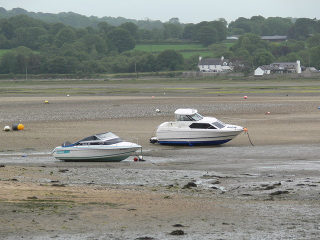
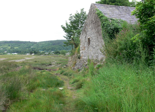
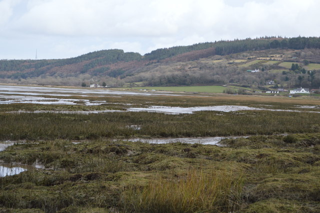
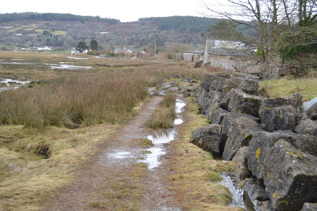
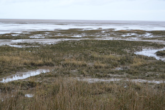
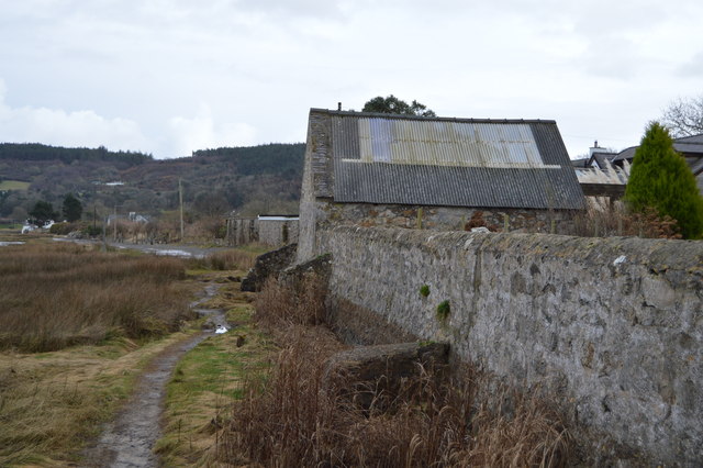
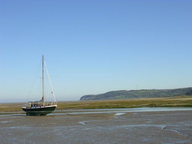
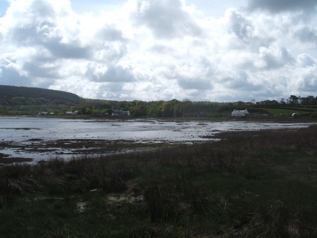
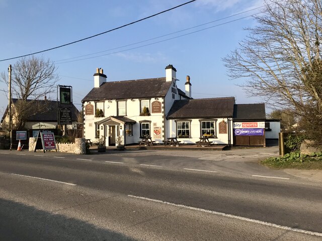
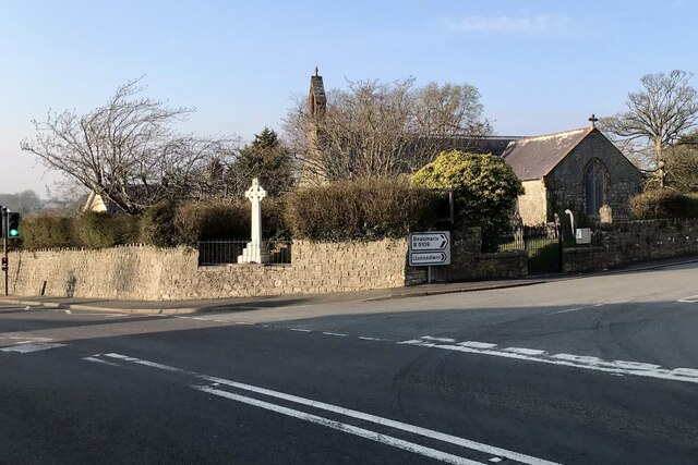
Images are sourced within 2km of 53.279764/-4.207651 or Grid Reference SH5278. Thanks to Geograph Open Source API. All images are credited.


Plas Gwyn is located at Grid Ref: SH5278 (Lat: 53.279764, Lng: -4.207651)
Unitary Authority: Isle of Anglesey
Police Authority: North Wales
What 3 Words
///aims.girder.skies. Near Benllech, Isle of Anglesey
Nearby Locations
Related Wikis

Plas Gwyn
Plas Gwyn is an area in the community of Pentraeth, Anglesey, Wales, which is 131.8 miles (212 km) from Cardiff and 211.2 miles (339.8 km) from London...

Panton Arms Hotel, Pentraeth
The Panton Arms Hotel, in Pentraeth, Anglesey, is a Grade II listed building situated in the centre of the village. It is named after the Panton family...

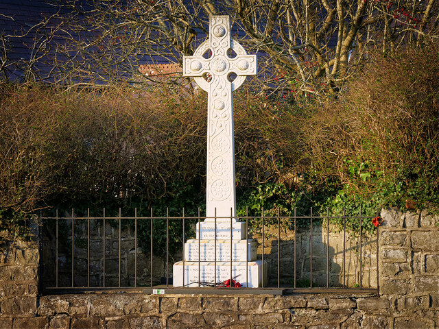
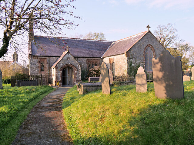
St Mary's Church, Pentraeth
St Mary's Church, Pentraeth is a small medieval parish church in the village of Pentraeth, in Anglesey, north Wales. The date of construction is unknown...

Pentraeth
Pentraeth (; Welsh: ['pɛntraiθ]) is a village and community on the island of Anglesey (Ynys Môn), North Wales, at grid reference SH523786. The Royal Mail...
Pentraeth railway station
Pentraeth railway station was situated on the Red Wharf Bay branch line between Holland Arms railway station and Benllech, the third station after the...
Rhos Cefn Hir
Rhos Cefn Hir (or Rhoscefnhir) is a village in the community of Pentraeth, Anglesey, Wales, which is 130.8 miles (210.5 km) from Cardiff and 210.8 miles...
Pen-y-garnedd
Pen-y-garnedd is a village in the community of Pentraeth, Anglesey, Wales, which is 130.6 miles (210.2 km) from Cardiff and 210.1 miles (338.2 km) from...

Llanddyfnan
Llanddyfnan is a village and community in Anglesey, Wales, located 3.5 miles (5.6 km) north east of Llangefni, 6.6 miles (10.6 km) north west of Menai...
Nearby Amenities
Located within 500m of 53.279764,-4.207651Have you been to Plas Gwyn?
Leave your review of Plas Gwyn below (or comments, questions and feedback).