Plas Llangwyfan

Settlement in Anglesey

Wales

Plas Llangwyfan

View to Rhosneigr Taken from the Isle of Anglesey Coastal Path north of Cable Bay. Part of the path can be seen in the photograph and Rhosneigr lies distant.
View to Rhosneigr Credit: David Bremner

The requested URL returned error: 429 Too Many Requests

If you have any feedback on the listing, please let us know in the comments section below.

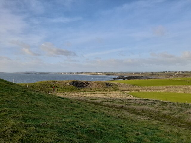
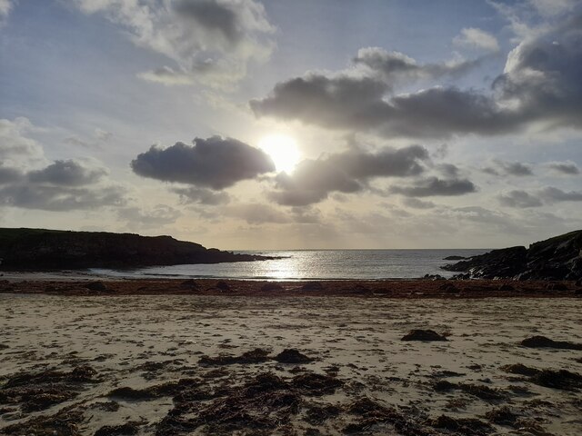
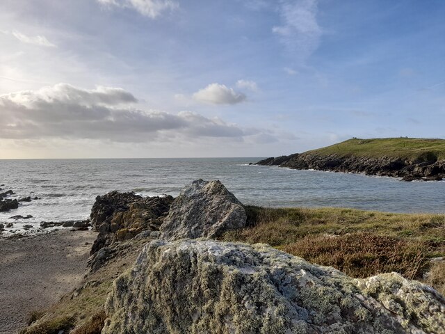
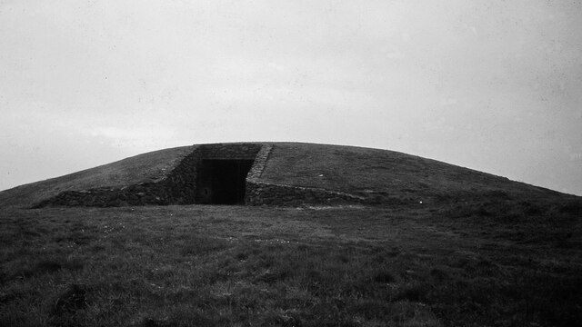
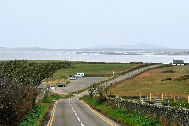
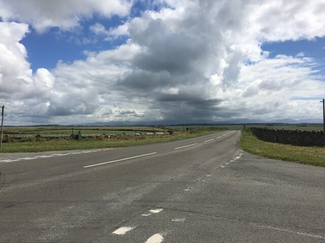
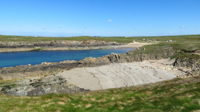
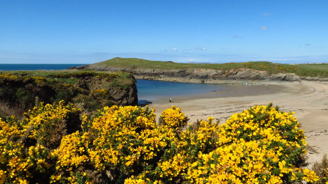
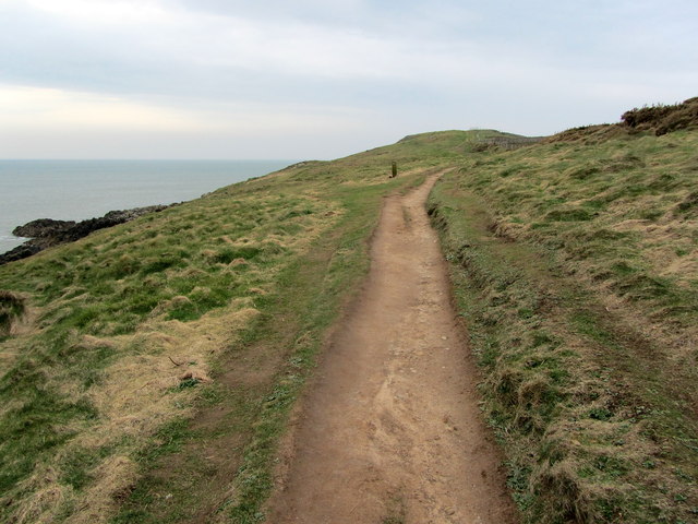
Plas Llangwyfan Images

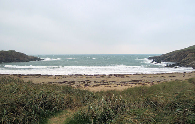
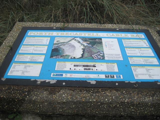
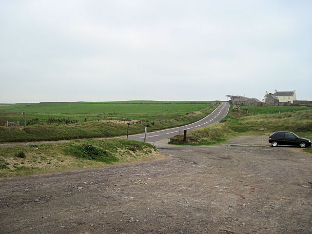
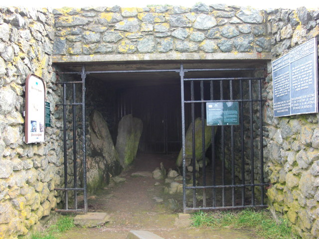
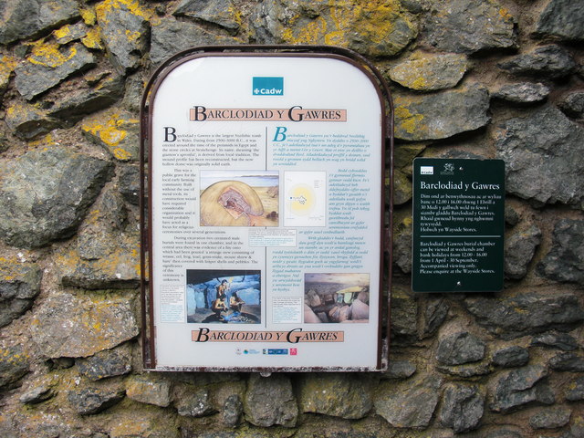
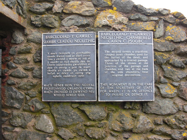
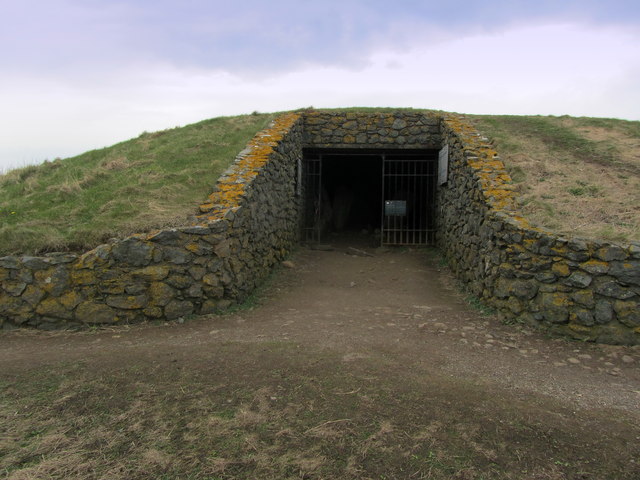
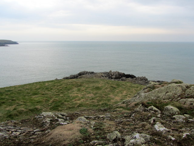
Images are sourced within 2km of 53.191794/-4.5011347 or Grid Reference SH3369. Thanks to Geograph Open Source API. All images are credited.

View to Rhosneigr Taken from the Isle of Anglesey Coastal Path north of Cable Bay. Part of the path can be seen in the photograph and Rhosneigr lies distant.
View to Rhosneigr
Taken from the Isle of Anglesey Coastal Path north of Cable Bay. Part of the path can be seen in the photograph and Rhosneigr lies distant.
Porth Trecastell or Cable Bay A lovely spot we have visited several times over quite a few years.
Porth Trecastell or Cable Bay
A lovely spot we have visited several times over quite a few years.
A View at Porth Trecastell A lovely spot on the west side of Anglesey.
A View at Porth Trecastell
A lovely spot on the west side of Anglesey.
Barclodiad y Gawres Neolithic Passage Grave <span class="nowrap"><a title="https://www.megalithic.co.uk/article.php?sid=1492" rel="nofollow ugc noopener" href="https://www.megalithic.co.uk/article.php?sid=1492">Link</a><img style="margin-left:2px;" alt="External link" title="External link - shift click to open in new window" src="https://s1.geograph.org.uk/img/external.png" width="10" height="10"/></span>
Barclodiad y Gawres Neolithic Passage Grave
Car Park, Porth Trecastell The A4080 road runs for 24½ miles along the southwestern side of Anglesey. It starts on the A5 at Llanfair Pwllgwyngyll and passes through several villages before terminating on the A5 between Bryngwran and Gwalchmai.
Car Park, Porth Trecastell
The A4080 road runs for 24½ miles along the southwestern side of Anglesey. It starts on the A5 at Llanfair Pwllgwyngyll and passes through several villages before terminating on the A5 between Bryngwran and Gwalchmai.
Junction on the A4080 near Anglesey Circuit
Porth Terfyn with Porth Trecastell behind
Beach at Porth Trecastell
Porth Trecastell from car park Off A4080 road
Porth Trecastell from car park
Off A4080 road
Porth Trecastell information board
A4080 at Porth Trecastell Looking towards Aberffraw
A4080 at Porth Trecastell
Looking towards Aberffraw
Barclodiad y Gawres Restored burial chamber. Shot taken whilst walking the Anglesey Coastal path
Barclodiad y Gawres
Restored burial chamber. Shot taken whilst walking the Anglesey Coastal path
Barclodiad y Gawres Information sign
Barclodiad y Gawres
Information sign
Barclodiad y Gawres Information sign
Barclodiad y Gawres
Information sign
Barclodiad y Gawres Burial Chamber The largest Neolithic Burial Chamber in Wales, built between 3,000BC and 2,500BC situated on an isolated promontory, on the west coast of Anglesey.
The Isle of Anglesey Coastal Path passes by this prehistoric site.
Barclodiad y Gawres Burial Chamber
The largest Neolithic Burial Chamber in Wales, built between 3,000BC and 2,500BC situated on an isolated promontory, on the west coast of Anglesey. The Isle of Anglesey Coastal Path passes by this prehistoric site.
Headland at Barclodiad y Gawres Above a headland on Anglesey's west coast.
Headland at Barclodiad y Gawres
Above a headland on Anglesey's west coast.
Isle of Anglesey Coastal Path above Porth Trecastell The long distance path heading for the Neolithic burial chamber on Barclodiad y Gawres.
Isle of Anglesey Coastal Path above Porth Trecastell
The long distance path heading for the Neolithic burial chamber on Barclodiad y Gawres.
Barclodiad y Gawres Chambered Cairn.
Barclodiad y Gawres
Chambered Cairn.
Show me another place!

Plas Llangwyfan is located at Grid Ref: SH3369 (Lat: 53.191794, Lng: -4.5011347)

Unitary Authority: Isle of Anglesey

Police Authority: North Wales

What 3 Words

///tycoons.propose.arose. Near Rhosneigr, Isle of Anglesey

Related Wikis

Anglesey Circuit

The Anglesey Circuit (Welsh: Trac Môn) is a motor racing circuit located in Ty Croes, Anglesey, Wales. It plays host to a variety of motorsport events...

Llangwyfan, Anglesey

Llangwyfan named after St. Cwyfan is a hamlet in the community of Aberffraw, Anglesey, Wales, which is 130.8 miles (210.6 km) from Cardiff and 218 miles...

St Cwyfan's Church, Llangwyfan

St Cwyfan's Church (Welsh: Eglwys Cwyfan) is a Grade II*-listed medieval church in Llangadwaladr, Anglesey, Wales. Located on the small tidal island of...

Trecastell

Trecastell is a farm and historical site in the community of Aberffraw, Anglesey, Wales. == History == Llywelyn the Great, Prince of the Kingdom of Gwynedd...

Nearby Amenities

Located within 500m of 53.191794,-4.5011347
Source: PGS
Lat/Long: 53.1949351/-4.5058462
Source: PGS
Lat/Long: 53.194695/-4.5063409
Source: PGS
Lat/Long: 53.1944171/-4.506289
Source: PGS
Lat/Long: 53.1940323/-4.5061478
Source: PGS
Lat/Long: 53.1935751/-4.5061554
Source: PGS
Lat/Long: 53.1932253/-4.5064974
Source: PGS
Lat/Long: 53.1929807/-4.5057796
Source: PGS
Lat/Long: 53.1929466/-4.5056841
Source: PGS
Lat/Long: 53.1925694/-4.5050854
Source: PGS
Lat/Long: 53.1925377/-4.5049918
Source: PGS
Lat/Long: 53.1921063/-4.504669
Source: PGS
Lat/Long: 53.1918366/-4.5045788
Source: PGS
Lat/Long: 53.1915529/-4.5044974
Source: PGS
Lat/Long: 53.191225/-4.5043727
Source: PGS
Lat/Long: 53.1908665/-4.5046805
Source: PGS
Lat/Long: 53.1904787/-4.5047489
Source: PGS
Lat/Long: 53.1902868/-4.5048937
Source: PGS
Lat/Long: 53.1898394/-4.5050693
Source: PGS
Lat/Long: 53.1894263/-4.5057368
Source: PGS
Lat/Long: 53.1890009/-4.5059758
Source: PGS
Lat/Long: 53.1887921/-4.5057629
Corkscrew
Description: Corkscrew
Lat/Long: 53.1891155/-4.4994818
School Corner
Description: School Corner
Lat/Long: 53.1881423/-4.4995134
Power: pole
Lat/Long: 53.1922203/-4.4937954
Power: substation
Lat/Long: 53.194284/-4.497044
Generator Method: wind_turbine
Generator Source: wind
Power: generator
Lat/Long: 53.1896103/-4.4972363
Tom Pryce Straight
Description: Tom Pryce Straight
Lat/Long: 53.1905353/-4.498302
Bus Stop
Description: Bus Stop
Lat/Long: 53.1889379/-4.498253
Crossing
Crossing: uncontrolled
Crossing Markings: yes
Lat/Long: 53.1890713/-4.4966038
Crossing
Crossing: uncontrolled
Crossing Markings: yes
Lat/Long: 53.1892823/-4.4966753
Crossing
Crossing: uncontrolled
Crossing Markings: yes
Lat/Long: 53.1894691/-4.4967409
Crossing
Crossing: uncontrolled
Crossing Markings: yes
Lat/Long: 53.1896743/-4.4967728
Power: pole
Lat/Long: 53.190892/-4.4961101
Vending Machine
Vending: fuel
Lat/Long: 53.1893377/-4.4976706
Start/Finish
Lat/Long: 53.188408/-4.4964048
Toilets
Access: customers
Changing Table: no
Unisex: yes
Wheelchair: no
Lat/Long: 53.1913614/-4.5012808
Man Made: water_tap
Lat/Long: 53.1890992/-4.4952901
The data included in this document is from www.openstreetmap.org. The data is made available under ODbL.

Have you been to Plas Llangwyfan?

Leave your review of Plas Llangwyfan below (or comments, questions and feedback).