Pittnetrail
Settlement in Sutherland
Scotland
Pittnetrail

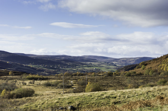
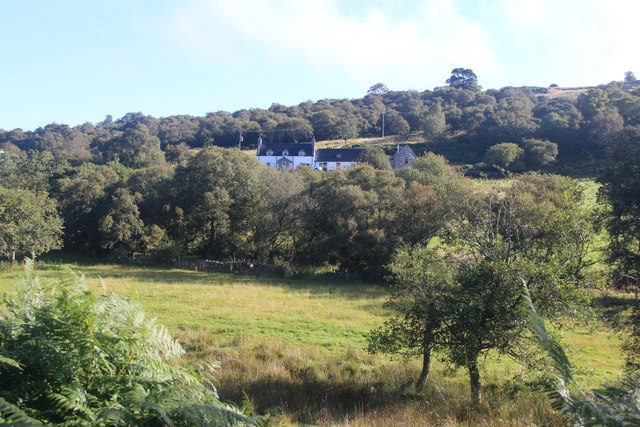
Pittnetrail is a small village located in the county of Sutherland, Scotland. Situated in the northern part of the country, it is nestled within the stunning Highland region, known for its picturesque landscapes and rugged beauty. With a population of around 300 residents, Pittnetrail offers a peaceful and close-knit community atmosphere.
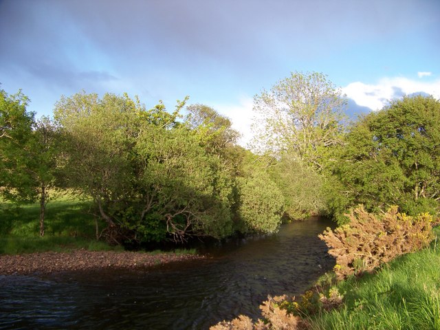
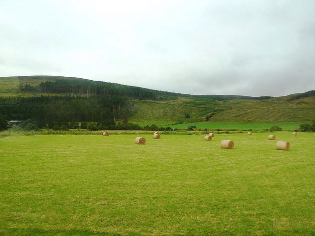
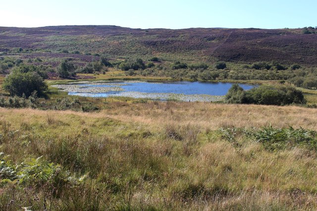
The village itself is characterized by its charming traditional cottages and well-maintained gardens. It is surrounded by verdant hills and rolling countryside, providing an idyllic setting for outdoor enthusiasts. The nearby River Pittnetrail adds to the village's natural appeal, offering opportunities for fishing and leisurely walks along its banks.
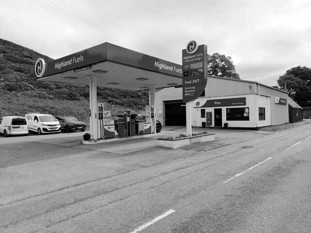
Despite its small size, Pittnetrail has a few essential amenities to cater to its residents' needs. These include a local pub, a small grocery store, and a primary school, ensuring that basic necessities and services are easily accessible. For more extensive facilities, residents can make use of the nearby town of Lairg, which is approximately 10 miles away.
Pittnetrail's location in the Scottish Highlands also makes it a popular destination for tourists seeking tranquility and natural beauty. Visitors can enjoy activities such as hiking, birdwatching, and exploring the surrounding countryside. The village's peaceful atmosphere and stunning scenery make it a perfect retreat for those looking to escape the hustle and bustle of city life.
Overall, Pittnetrail offers a serene and picturesque setting in the heart of the Scottish Highlands, making it an ideal place for both residents and visitors to enjoy the beauty of nature and experience a close-knit community spirit.
If you have any feedback on the listing, please let us know in the comments section below.
Pittnetrail Images
Images are sourced within 2km of 57.988747/-4.1666457 or Grid Reference NC7202. Thanks to Geograph Open Source API. All images are credited.


Pittnetrail is located at Grid Ref: NC7202 (Lat: 57.988747, Lng: -4.1666457)
Unitary Authority: Highland
Police Authority: Highlands and Islands
What 3 Words
///learns.flats.screen. Near Golspie, Highland
Nearby Locations
Related Wikis

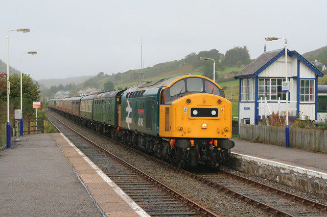
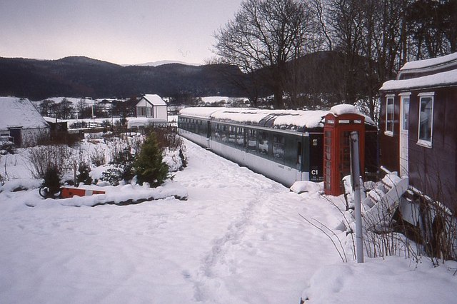
Rogart railway station
Rogart railway station is a railway station serving the villages of Rogart and Pittentrail, in the Highland council area of Scotland and home to Fraser...

Pittentrail
Pittentrail (Scottish Gaelic: Bad an Tràill or Baile an Tràill) is a hamlet on the A839 road, in the Rogart parish in east Sutherland, in the Scottish...
Battle of Torran Dubh
The Battle of Torran Dubh also known as the Battle of Torran-dow or the Battle of Torran Du was a Scottish clan battle that was fought in 1517 in Sutherland...

Rogart
Rogart ( ROH-gart, Scottish Gaelic: Sgìre Raoird or Raoghard, meaning "great enclosed field") is a small village in Sutherland, Highland, Scotland. The...
Nearby Amenities
Located within 500m of 57.988747,-4.1666457Have you been to Pittnetrail?
Leave your review of Pittnetrail below (or comments, questions and feedback).