Strath Fleet
Valley in Sutherland
Scotland
Strath Fleet

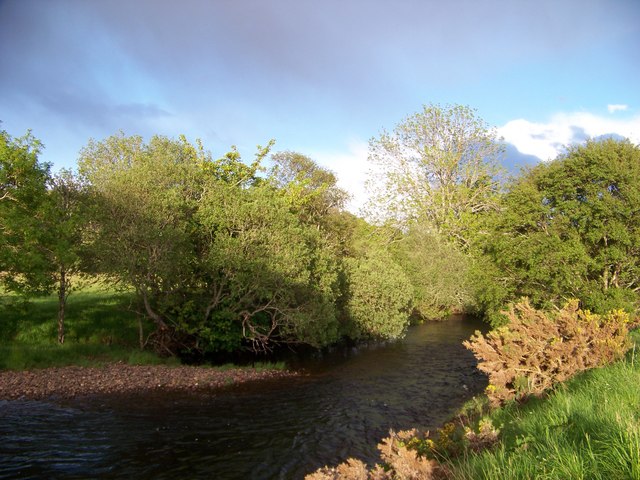
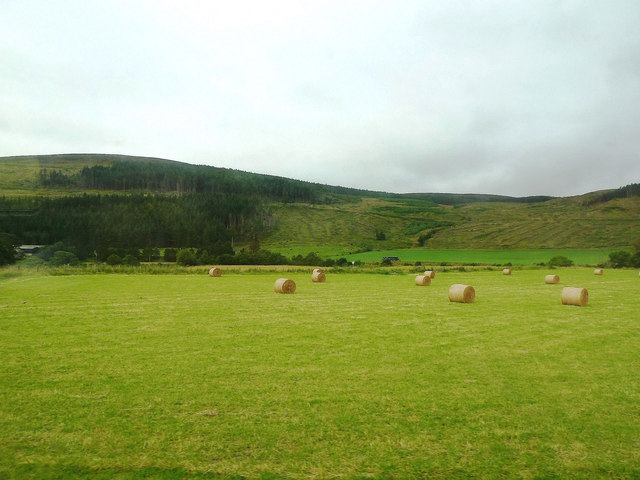
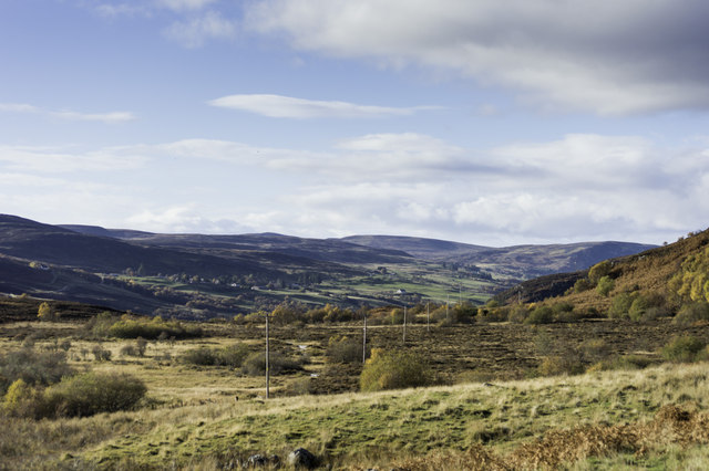
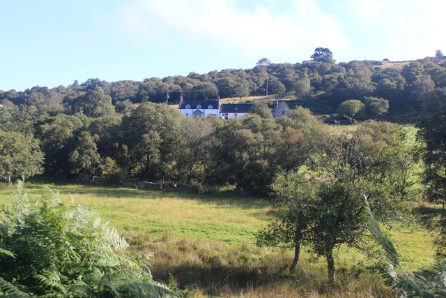
Strath Fleet is a picturesque valley located in the county of Sutherland, in the northern part of Scotland. It is nestled between the rolling hills and mountains of the Scottish Highlands, offering breathtaking views and a tranquil atmosphere. The valley is named after the River Fleet, which flows through its heart, adding to its natural beauty.
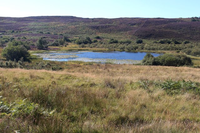
Strath Fleet is known for its abundant wildlife, making it a popular destination for nature enthusiasts and bird watchers. The valley is home to a variety of bird species, including golden eagles, peregrine falcons, and ospreys. Visitors can also spot red deer, otters, and pine martens while exploring the area.
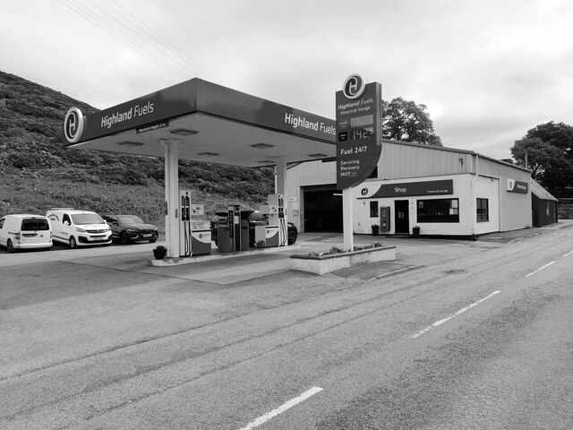
The valley is dotted with charming villages and hamlets, including the small village of Strath Fleet itself. The village offers basic amenities such as a post office, a few shops, and a local pub, providing a warm welcome to visitors. The local community is friendly and welcoming, and often engages in traditional Highland activities and celebrations.
Outdoor activities are plentiful in Strath Fleet, with opportunities for hiking, cycling, and fishing. The valley is blessed with numerous walking trails, ranging from gentle strolls to more challenging hikes, catering to all levels of fitness and experience. The River Fleet offers excellent fishing opportunities, particularly for salmon and trout.
Overall, Strath Fleet is a hidden gem in the Scottish Highlands, offering a peaceful escape from the hustle and bustle of urban life. Its stunning natural beauty, diverse wildlife, and warm community make it an ideal destination for those seeking a true Scottish Highland experience.
If you have any feedback on the listing, please let us know in the comments section below.
Strath Fleet Images
Images are sourced within 2km of 57.990843/-4.1659433 or Grid Reference NC7202. Thanks to Geograph Open Source API. All images are credited.


Strath Fleet is located at Grid Ref: NC7202 (Lat: 57.990843, Lng: -4.1659433)
Unitary Authority: Highland
Police Authority: Highlands and Islands
What 3 Words
///warmers.passes.chuckling. Near Golspie, Highland
Nearby Locations
Related Wikis

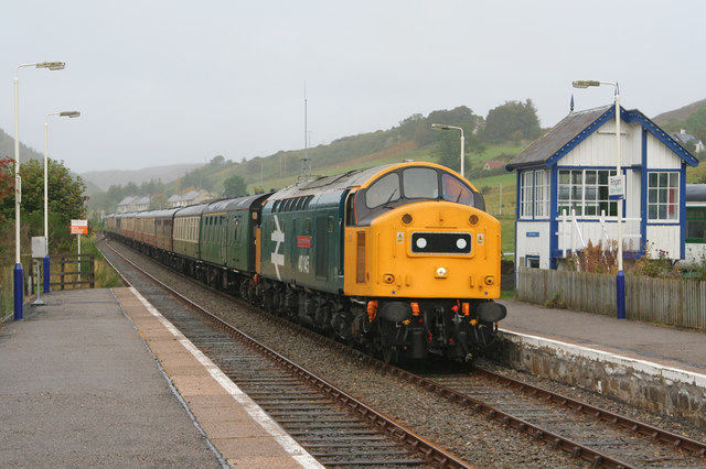
Rogart railway station
Rogart railway station is a railway station serving the villages of Rogart and Pittentrail, in the Highland council area of Scotland and home to Fraser...

Pittentrail
Pittentrail (Scottish Gaelic: Bad an Tràill or Baile an Tràill) is a hamlet on the A839 road, in the Rogart parish in east Sutherland, in the Scottish...
Battle of Torran Dubh
The Battle of Torran Dubh also known as the Battle of Torran-dow or the Battle of Torran Du was a Scottish clan battle that was fought in 1517 in Sutherland...

Rogart
Rogart ( ROH-gart, Scottish Gaelic: Sgìre Raoird or Raoghard, meaning "great enclosed field") is a small village in Sutherland, Highland, Scotland. The...
East Langwell
East Langwell is a small, remote crofting settlement in Rogart, Sutherland, Scottish Highlands and is in the Scottish council area of Highland.West Langwell...

Torboll
Torboll is a former feudal barony and geographical area that includes Torboll Farm, Little Torboll, Torboll Fall, and the Torboll Woods Site of Special...
Ardachu
Ardachu (Scottish Gaelic: Àrd Achadh) is a village within the area of Rogart, Sutherland in the Scottish Highlands, within the Highland Council area. It...
Muie
Muie (Scottish Gaelic: A' Mhuigh) is a remote village, situated in eastern Sutherland, Scottish Highlands and is in the Scottish council area of Highland...
Nearby Amenities
Located within 500m of 57.990843,-4.1659433Have you been to Strath Fleet?
Leave your review of Strath Fleet below (or comments, questions and feedback).