Pittington

Settlement in Durham

England

Pittington

Renny's Lane Bridleway Paved bridleway running along the southern edge of Belmont.
Renny's Lane Bridleway Credit: David Robinson

Pittington is a small village located in County Durham, in the northeast of England. It is situated approximately six miles east of Durham City and lies within the green and picturesque landscape of the Durham countryside. The village is part of the Easington district and has a population of around 1,500 residents.

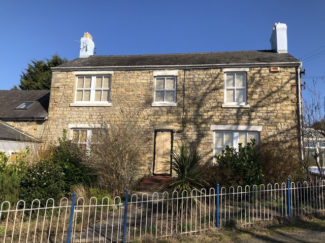
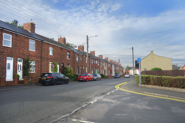
Pittington has a rich history, with evidence of settlements dating back to Roman times. The village is known for its traditional stone-built houses and historic buildings, including the Grade II listed St. Lawrence Church, which dates back to the 12th century and is a prominent feature of the village.

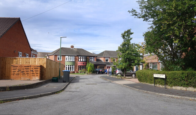
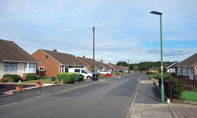
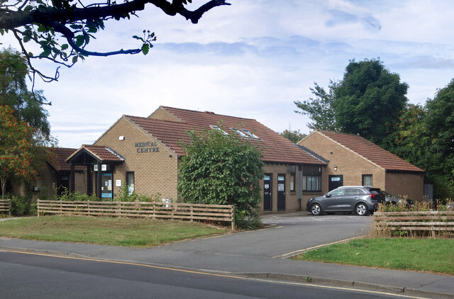
The village has a close-knit community and offers a range of amenities and services for its residents. These include a primary school, a village hall, a post office, a local pub, and a convenience store. Pittington also benefits from its proximity to Durham City, which provides further access to a wider range of facilities and services.

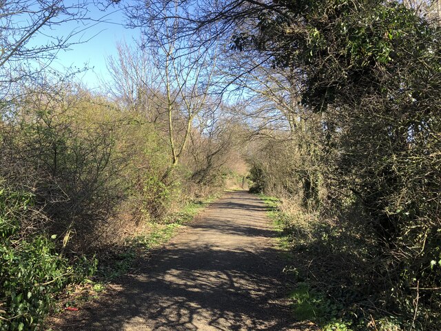
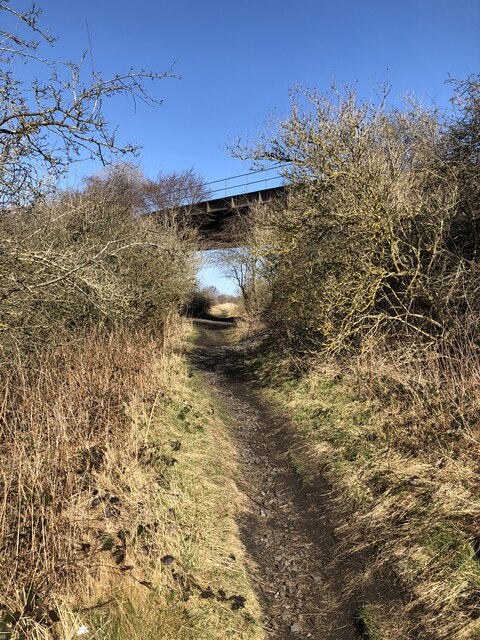
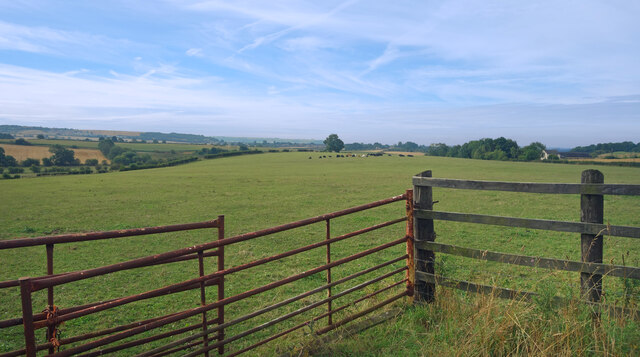
The surrounding area offers plenty of opportunities for outdoor activities and exploration. Pittington is situated near the beautiful Durham Heritage Coast, which is known for its stunning cliffs, sandy beaches, and wildlife. The village is also within easy reach of the Durham Dales, an area of outstanding natural beauty that offers scenic walks, cycling routes, and picturesque villages.

Overall, Pittington is a charming village that provides a peaceful and idyllic setting for its residents, while still offering easy access to nearby urban amenities and the natural beauty of the surrounding countryside.

If you have any feedback on the listing, please let us know in the comments section below.
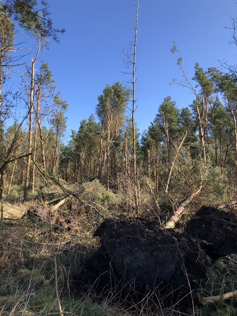
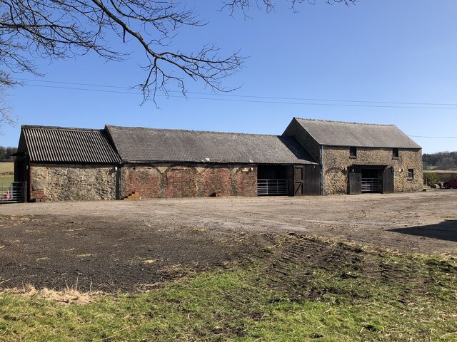
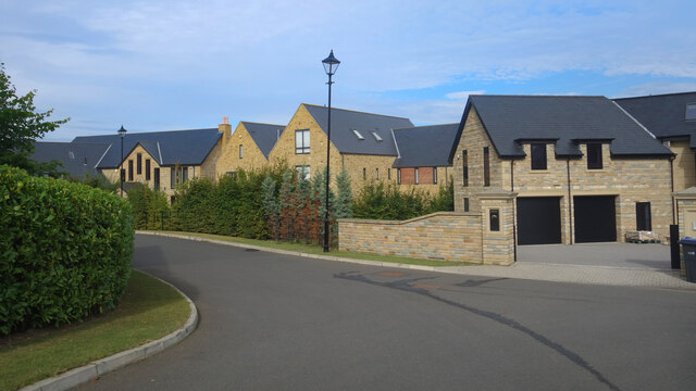
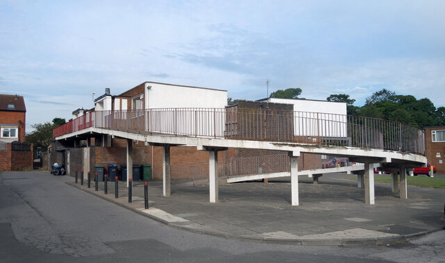
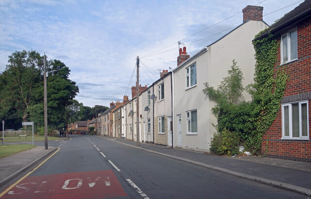
Pittington Images

Images are sourced within 2km of 54.789879/-1.5038876 or Grid Reference NZ3244. Thanks to Geograph Open Source API. All images are credited.

Renny's Lane Bridleway Paved bridleway running along the southern edge of Belmont.
Renny's Lane Bridleway
Paved bridleway running along the southern edge of Belmont.
Two Disused Railway Lines Going under - The Durham -Sunderland Railway, gave Durham its first station at Shincliffe in the 1830s, remained rope hauled until around 1860s serving early collieries, branch to Durham Elvet built 1890s but passenger trains lasted only until 1931, the line closing West of Murton Colliery in 1953.
Going over - the Leamside line, the original route of the ECML before Tursdale - Durham - Newcastle was opened. Lost its passenger services in 1960s, hung on as a lightly used freight route and occasional diversionary route, especially for weekend engineering and during remodelling / electrification of the ECML. Closed early 1990s.
Two Disused Railway Lines
Going under - The Durham -Sunderland Railway, gave Durham its first station at Shincliffe in the 1830s, remained rope hauled until around 1860s serving early collieries, branch to Durham Elvet built 1890s but passenger trains lasted only until 1931, the line closing West of Murton Colliery in 1953. Going over - the Leamside line, the original route of the ECML before Tursdale - Durham - Newcastle was opened. Lost its passenger services in 1960s, hung on as a lightly used freight route and occasional diversionary route, especially for weekend engineering and during remodelling / electrification of the ECML. Closed early 1990s.
Fatfield House Farm
Fatfield House Farm
Low Pittington The smaller of the two Pittington villages (High Pittington being the other). The village was served by a station on the early Durham - Sunderland railway.
Low Pittington
The smaller of the two Pittington villages (High Pittington being the other). The village was served by a station on the early Durham - Sunderland railway.
Storm Damage In Pittington Woods Fallen trees in woodland plantation following a series of storms in Late 2021 / early 2022.
Storm Damage In Pittington Woods
Fallen trees in woodland plantation following a series of storms in Late 2021 / early 2022.
Farm Buildings, Littletown Farm
Cook's Hold Farm Former farm house, derelict at the time of posting following the closure of the kennels that occupied the site. A victim of Covid's impact on business, the kennels only opened on the site in 2019.
Cook's Hold Farm
Former farm house, derelict at the time of posting following the closure of the kennels that occupied the site. A victim of Covid's impact on business, the kennels only opened on the site in 2019.
New Housing, Ramside Park A recent development on the eastern edge of suburban Durham.
New Housing, Ramside Park
A recent development on the eastern edge of suburban Durham.
Farmland beside Pittington Lane
Wantage Road (nos 60 - 84) The Wantage Road address continued along a short cul de sac off Wantage Road itself.
Wantage Road (nos 60 - 84)
The Wantage Road address continued along a short cul de sac off Wantage Road itself.
Wantage Road, Carrville
High Street, Carrville At the junction with Dene Drive.
High Street, Carrville
At the junction with Dene Drive.
Broomside Lane, Carrville
Belmont Medical Centre
Bus Stop by the Shops
Yellow bollards round the edge Parking area by the Cheveley Park shops.
Yellow bollards round the edge
Parking area by the Cheveley Park shops.
Ramp to the First Floor Housing near the Cheveley Park shops.
Ramp to the First Floor
Housing near the Cheveley Park shops.
Broomside Lane, Belmont
Show me another place!

Pittington is located at Grid Ref: NZ3244 (Lat: 54.789879, Lng: -1.5038876)

Unitary Authority: County Durham

Police Authority: Durham

What 3 Words

///nation.poems.tones. Near Sherburn, Co. Durham

Nearby Locations

Low Pittington Pittington

Related Wikis

Hallgarth

Hallgarth is a small village in County Durham, England, to the east of Durham. It is in the parish of Pittington and is described there. == References ==

Pittington railway station

Pittington railway station served the village of Pittington, County Durham, England, from 1837 to 1960 on the Durham and Sunderland Railway. == History... ==

Belmont, County Durham

Belmont is a suburb forming the north-eastern parts of the city of Durham, England. Belmont Parish covers four old coal mining villages of Belmont, Carrville...

Pittington Hill

Pittington Hill is a Site of Special Scientific Interest in County Durham, England. It lies adjacent to the village of Pittington, some 6 km north-east...

Related Videos

The Holiday Let Hot Tub that is a HSG282 compliant Spa

Our holiday let spa complies with the new HSG282 Guidance, including steps , cover , LED lighting also has the FROG inline ...

Nearby Amenities

Located within 500m of 54.789879,-1.5038876
Barrier: stile
Foot: yes
Stile: stepover
Lat/Long: 54.791815/-1.504122
Barrier: stile
Lat/Long: 54.7874838/-1.5078145
Power: pole
Lat/Long: 54.7862573/-1.5054099
Power: pole
Lat/Long: 54.7871582/-1.5048306
Power: pole
Lat/Long: 54.7858722/-1.5026942
Power: pole
Lat/Long: 54.7866486/-1.5029866
Power: pole
Lat/Long: 54.7874354/-1.5032749
Power: pole
Lat/Long: 54.7874861/-1.5032937
Power: pole
Lat/Long: 54.7877575/-1.5017018
Power: pole
Lat/Long: 54.7879756/-1.5003338
Power: pole
Lat/Long: 54.7881372/-1.4988439
Power: pole
Lat/Long: 54.7882888/-1.4974009
Broomside Colliery (Lady Adelaide Pit)
Historic: archaeological_site
Source: Historic OS mapping
Website: http://www.dmm.org.uk/colliery/b069.htm
Lat/Long: 54.7872224/-1.5092281
Disused: yes
Image: https://www.geograph.org.uk/photo/5310816
Man Made: mineshaft
Lat/Long: 54.7876593/-1.5092804
The data included in this document is from www.openstreetmap.org. The data is made available under ODbL.

Have you been to Pittington?

Leave your review of Pittington below (or comments, questions and feedback).