Bird Green
Settlement in Essex Uttlesford
England
Bird Green
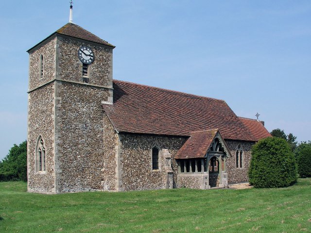
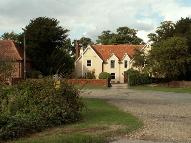
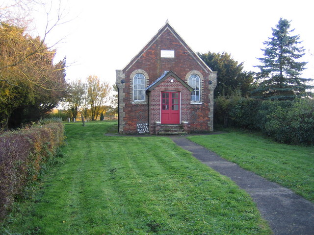
Bird Green is a small village located in the county of Essex, in the eastern part of England. It is situated approximately 45 miles northeast of London and falls within the local government district of Uttlesford. With a population of around 500 residents, Bird Green is known for its tranquil rural setting and picturesque countryside views.
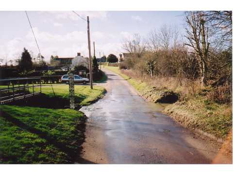
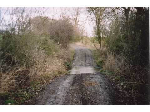
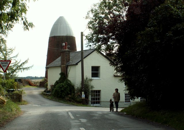
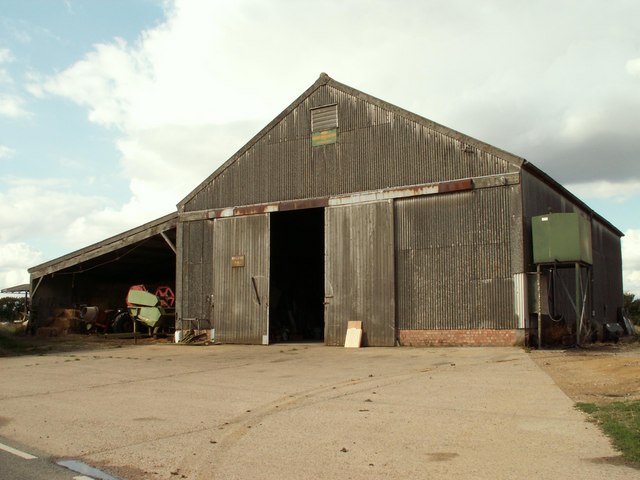
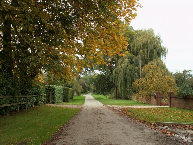
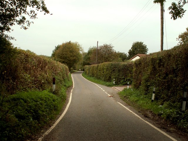
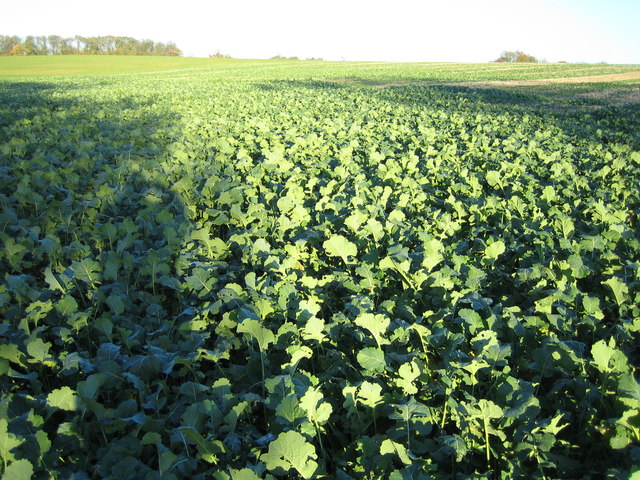
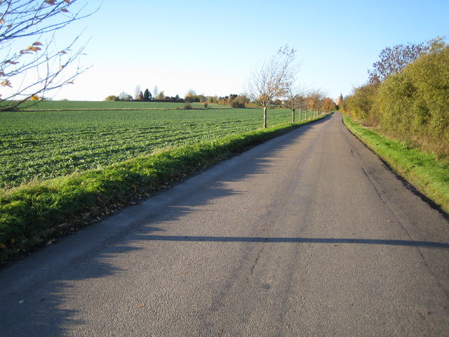
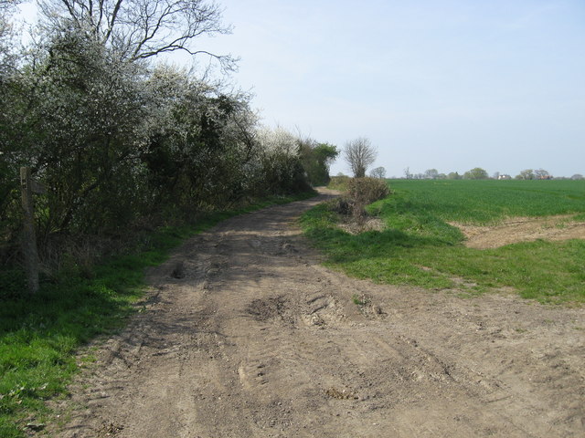
The village is surrounded by beautiful farmland, and its landscape is characterized by rolling hills, expansive fields, and hedgerows. The area is predominantly agricultural, with farming being a significant economic activity in the village.
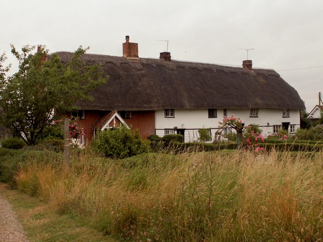
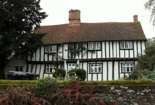
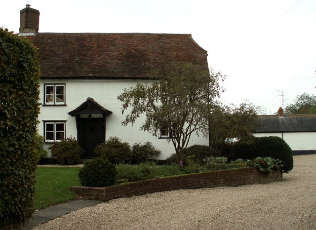
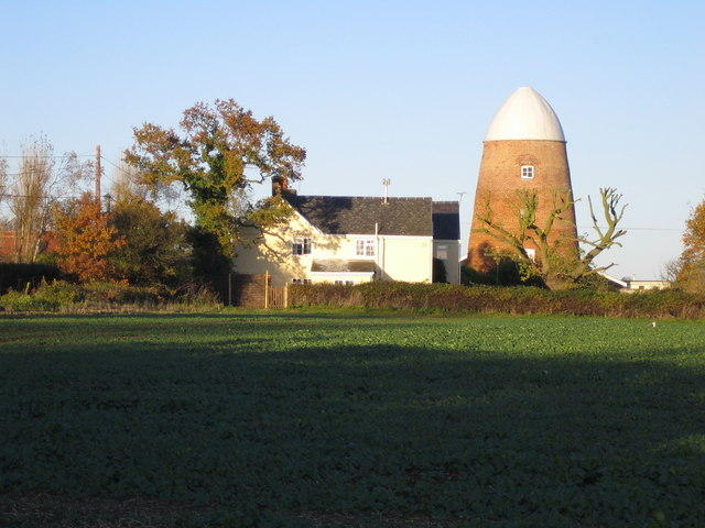
Bird Green is home to a small, close-knit community, and it offers a peaceful and friendly atmosphere to its residents. The village has a traditional English charm, with a scattering of historic buildings and cottages adding to its character.
Despite its small size, Bird Green benefits from its proximity to larger towns and cities. Nearby settlements such as Great Dunmow and Bishop's Stortford provide access to a range of amenities, including shops, schools, and healthcare facilities.
The village is also well-connected in terms of transportation, with good road links to the surrounding areas. The A120 road runs close to Bird Green, providing convenient access to the nearby M11 motorway and making it accessible for commuters.
Overall, Bird Green offers a peaceful and idyllic place to live, with its rural beauty and sense of community being the key attractions for both residents and visitors alike.
If you have any feedback on the listing, please let us know in the comments section below.
Bird Green Images
Images are sourced within 2km of 51.984491/0.115914 or Grid Reference TL4533. Thanks to Geograph Open Source API. All images are credited.
Bird Green is located at Grid Ref: TL4533 (Lat: 51.984491, Lng: 0.115914)
Administrative County: Essex
District: Uttlesford
Police Authority: Essex
What 3 Words
///condense.conquests.game. Near Saffron Walden, Essex
Nearby Locations
Related Wikis

Langley, Essex
For the historic house in Essex called Langley's, see Great Waltham. Langley is a village and civil parish near Clavering in the English county of Essex...

Meesden
Meesden is a village and civil parish of the East Hertfordshire district of Hertfordshire, England. Nearby settlements include Anstey and Brent Pelham...

Clavering Castle
Clavering Castle remains are situated in the small parish village of Clavering in the county of Essex, England, 50m north of the church of St Mary and...

Arkesden
Arkesden is a village and civil parish in the Uttlesford district of Essex, England. The village is 4.3 miles (7 km) south-west from Saffron Walden, approximately...

Wicken Bonhunt
Wicken Bonhunt is a village and a civil parish of north-west Essex, in the non-metropolitan district of Uttlesford, England. It is on the B1038 (Buntingford...
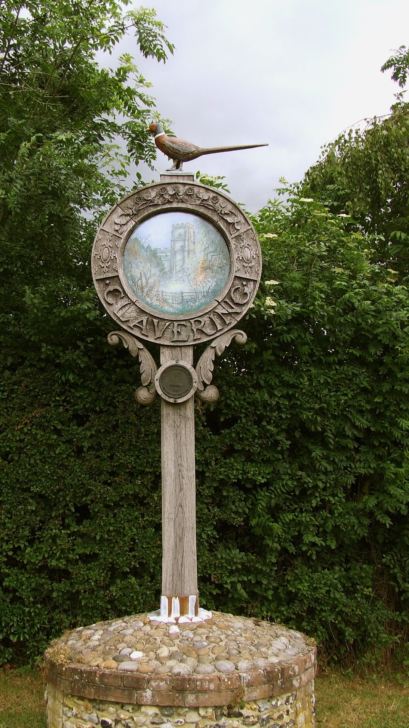
Clavering, Essex
Clavering is a village and also a parish in north-west Essex in England. It is about 20 miles (32 km) from Cambridge and 50 miles (80 km) from Southend...

Duddenhoe End
Duddenhoe End is a small village in the civil parish of Elmdon & Wenden Lofts, in northwest Essex, England, and situated approximately halfway between...
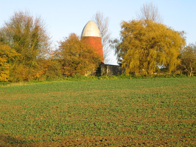
Brent Pelham Windmill
Brent Pelham Windmill is a Grade II listed smock mill at Brent Pelham, Hertfordshire, England which is derelict. == History == Brent Pelham Mill was built...
Nearby Amenities
Located within 500m of 51.984491,0.115914Have you been to Bird Green?
Leave your review of Bird Green below (or comments, questions and feedback).