Butts Green

Settlement in Essex Uttlesford

England

Butts Green

Langley Church, Upper Green.
Langley Church, Upper Green. Credit: mym

Butts Green is a small village located in the county of Essex in southeastern England. Situated approximately 20 miles northeast of London, it falls within the borough of Brentwood. The village is surrounded by picturesque countryside and offers a peaceful and rural environment for its residents.

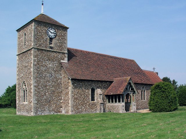
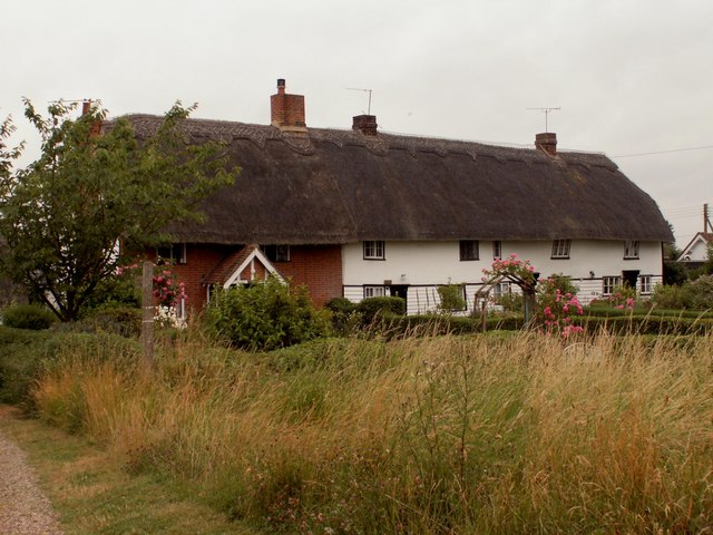
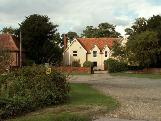
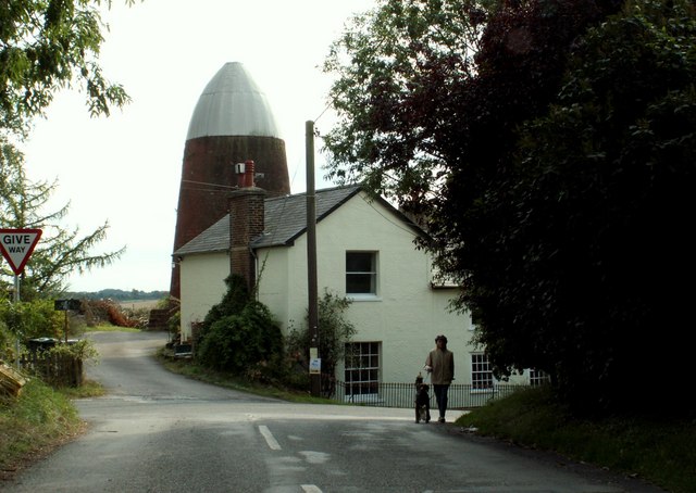
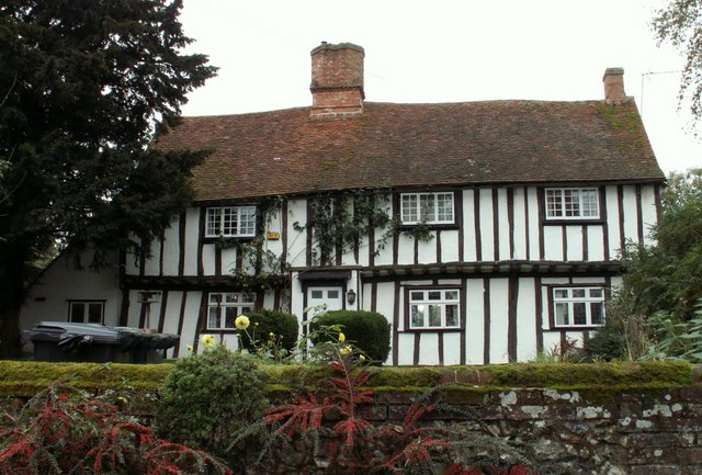
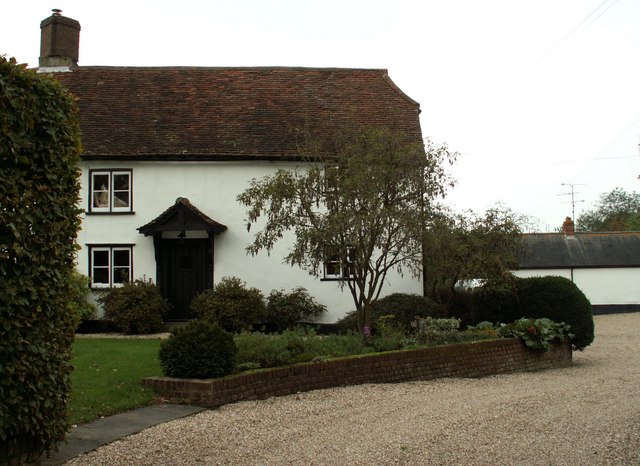
With a population of around 500 people, Butts Green is a close-knit community known for its friendly and welcoming atmosphere. The village is characterized by traditional English cottages and charming architecture, adding to its quaint and idyllic charm.

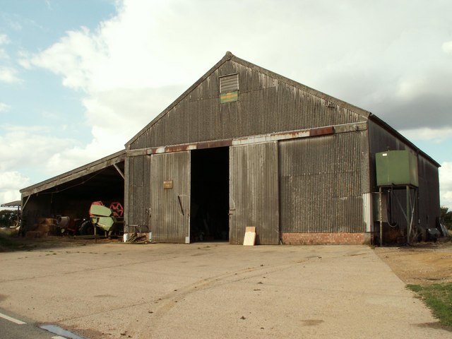
Although small, Butts Green benefits from its proximity to larger nearby towns such as Brentwood and Romford, which provide access to a range of amenities and services. The village itself has limited facilities, including a local pub, but residents can easily access shops, schools, and healthcare facilities in the surrounding areas.

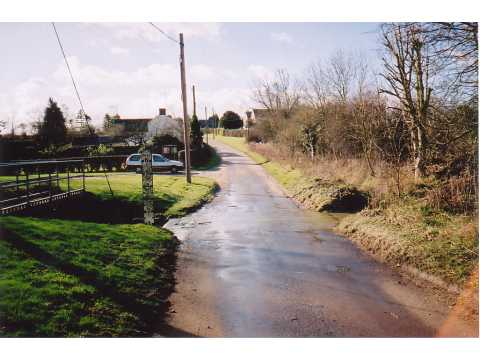
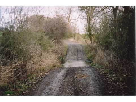
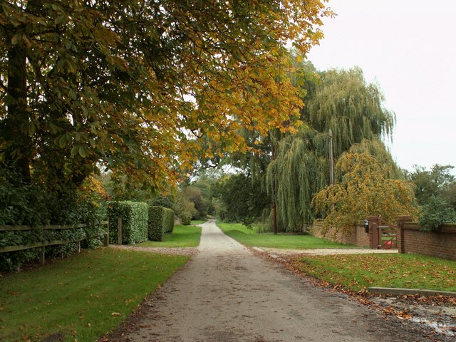
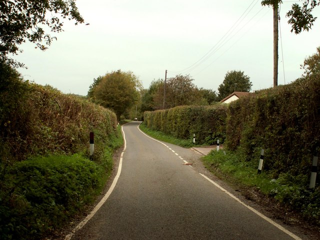
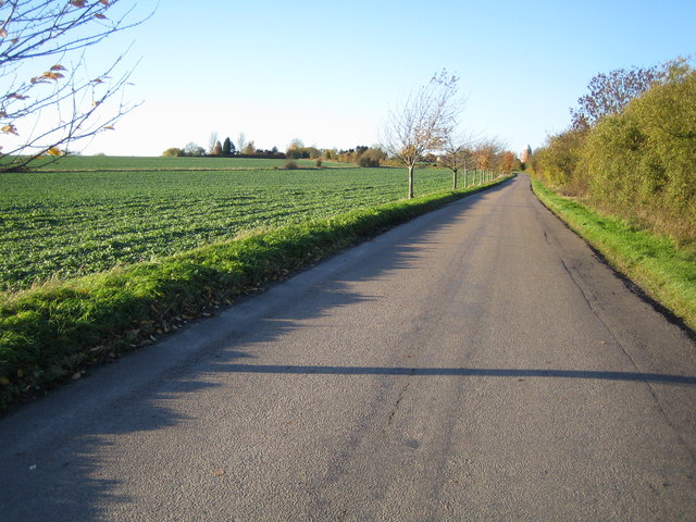
Nature lovers will appreciate the green spaces and scenic walking trails that surround Butts Green. The village is situated near Hanningfield Reservoir, a popular spot for birdwatching and outdoor activities such as sailing and fishing. The nearby Weald Country Park also offers opportunities for leisurely walks and picnics.

Transportation options in Butts Green mainly rely on private vehicles, as the village is not served by a railway station. However, the A12 and M25 motorways are easily accessible, providing convenient links to London and other parts of the country.

Overall, Butts Green offers a peaceful and picturesque village lifestyle, with easy access to both rural and urban amenities, making it an attractive place to live for those seeking a balance between tranquility and convenience.

If you have any feedback on the listing, please let us know in the comments section below.
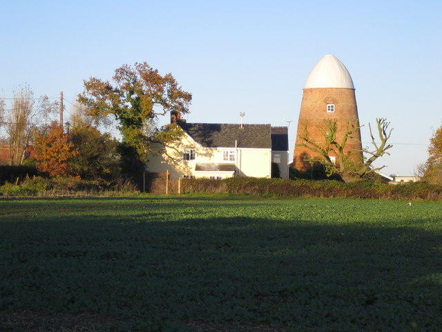
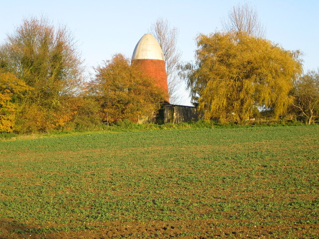
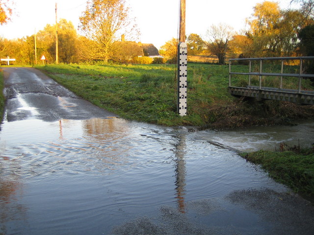
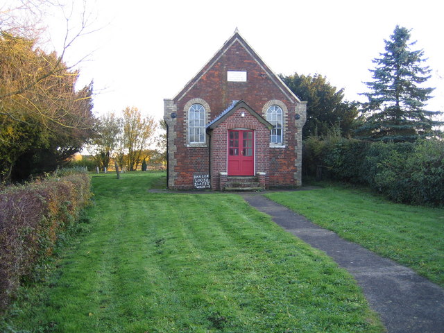
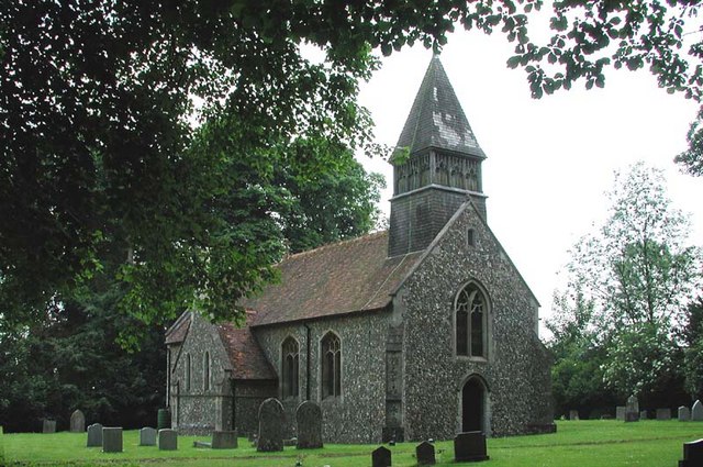
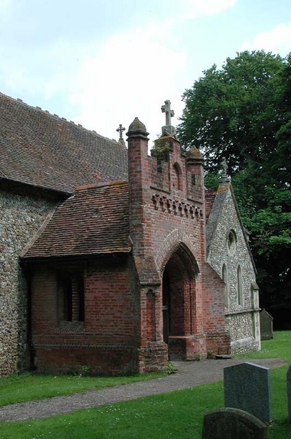
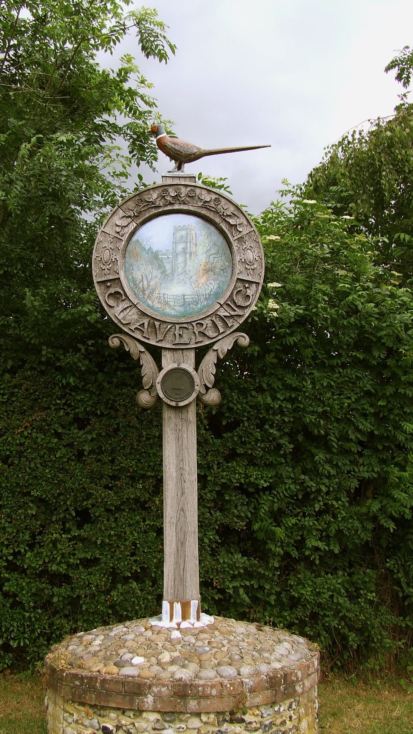
Butts Green Images

Images are sourced within 2km of 51.984264/0.11297603 or Grid Reference TL4533. Thanks to Geograph Open Source API. All images are credited.

Langley Church, Upper Green.
Ford, Langley Lower Green Culverted ford, usually dry.
Ford, Langley Lower Green
Culverted ford, usually dry.
Ford near Cooper's End On a Roman Road, now a byway.
Ford near Cooper's End
On a Roman Road, now a byway.
Thatched cottages at Upper Green, Langley, Essex
Clavering Place Farm, Stickling Green, Clavering, Essex
Clavering Mill, Clavering, Essex A short distance north of this windmill without sails is another without sails. Both have been restored for living accommodation.
Clavering Mill, Clavering, Essex
A short distance north of this windmill without sails is another without sails. Both have been restored for living accommodation.
Barn at Brocking Farm, Roast Green, Essex Roast Green is just north-west of Clavering.
Barn at Brocking Farm, Roast Green, Essex
Roast Green is just north-west of Clavering.
The road at Ford End
Farmhouse at Yew Tree Farm This is a very attractive timber-framed house, probably dating back to the early part of the 16th century.
Farmhouse at Yew Tree Farm
This is a very attractive timber-framed house, probably dating back to the early part of the 16th century.
Farmhouse at Further Ford End, Essex The name of the farm is not known.
Farmhouse at Further Ford End, Essex
The name of the farm is not known.
Country road on the way to Lower Green
Clavering: Disused windmills This grid square, to the north-west of Clavering, is blessed with two former windmills. The North mill is in sight directly at the end of the road, whilst the similar South mill is visible to the left, and immediately to the left of the prominent conifer tree on the horizon. Close-up views of the two are in <a href="https://www.geograph.org.uk/photo/281333">TL4632 : Clavering: North windmill</a> and <a href="https://www.geograph.org.uk/photo/281340">TL4632 : Clavering: South windmill</a>
Clavering: Disused windmills
This grid square, to the north-west of Clavering, is blessed with two former windmills. The North mill is in sight directly at the end of the road, whilst the similar South mill is visible to the left, and immediately to the left of the prominent conifer tree on the horizon. Close-up views of the two are in TL4632 : Clavering: North windmill and TL4632 : Clavering: South windmill
Clavering: North windmill This is the larger of the two Clavering windmills and was built in 1811 for milling corn. The relative locations of the two mills can be seen in <a href="https://www.geograph.org.uk/photo/281323">TL4632 : Clavering: Disused windmills</a>. It is now a private residence.
Clavering: North windmill
This is the larger of the two Clavering windmills and was built in 1811 for milling corn. The relative locations of the two mills can be seen in TL4632 : Clavering: Disused windmills. It is now a private residence.
Clavering: South windmill This is the smaller of the two Clavering windmills and was built in 1757 for milling corn. The relative locations of the two mills can be seen in <a href="https://www.geograph.org.uk/photo/281323">TL4632 : Clavering: Disused windmills</a>. It is now a private residence.
Clavering: South windmill
This is the smaller of the two Clavering windmills and was built in 1757 for milling corn. The relative locations of the two mills can be seen in TL4632 : Clavering: Disused windmills. It is now a private residence.
River Stort in Lower Green, Langley This is the ford across the River Stort on the road known as Waterwick Hill in Lower Green, and, compared with Andrew's photo <a href="https://www.geograph.org.uk/photo/58589">TL4334 : Ford, Langley Lower Green</a>, the river certainly has a lot of water flowing in it. The extent of the recent inundation can be seen from the flood trash line on the road on the far side of the ford.
River Stort in Lower Green, Langley
This is the ford across the River Stort on the road known as Waterwick Hill in Lower Green, and, compared with Andrew's photo TL4334 : Ford, Langley Lower Green, the river certainly has a lot of water flowing in it. The extent of the recent inundation can be seen from the flood trash line on the road on the far side of the ford.
Lower Green: Methodist Chapel This is the Primitive Methodist Chapel in Waterwick Hill, Lower Green. The inscription on the stone in the gable end reads "Erected 1862, Enlarged 1871". Behind the Chapel is a graveyard.
Lower Green: Methodist Chapel
This is the Primitive Methodist Chapel in Waterwick Hill, Lower Green. The inscription on the stone in the gable end reads "Erected 1862, Enlarged 1871". Behind the Chapel is a graveyard.
S Mary, Meesden, Herts
St Mary, Meesden, Herts - Porch
Show me another place!

Butts Green is located at Grid Ref: TL4533 (Lat: 51.984264, Lng: 0.11297603)

Administrative County: Essex

District: Uttlesford

Police Authority: Essex

What 3 Words

///clef.posting.deprives. Near Buntingford, Hertfordshire

Nearby Locations

Bird Green Butts Green

Related Wikis

Nearby Amenities

Located within 500m of 51.984264,0.11297603
Bus Stop
Butts Green
Bus: yes
Naptan AtcoCode: 1500IM2741
Naptan Bearing: NW
Naptan BusStopType: CUS
Naptan CommonName: Butts Green
Naptan Indicator: Opp
Naptan Landmark: Butts Green
Naptan NaptanCode: esxadtap
Naptan Street: Valance Road
Naptan Verified: no
Public Transport: platform
Source: naptan_import
Lat/Long: 51.9841092/0.1156327
Bus Stop
Butts Green
Bus: yes
Naptan AtcoCode: 1500IM2741AA
Naptan Bearing: SE
Naptan BusStopType: CUS
Naptan CommonName: Butts Green
Naptan Indicator: Adj
Naptan Landmark: Butts Green
Naptan NaptanCode: esxgtdjt
Naptan Street: Valance Road
Naptan Verified: no
Public Transport: platform
Source: naptan_import
Lat/Long: 51.9841623/0.1156789
Power: pole
Lat/Long: 51.9815002/0.1133099
Power: pole
Lat/Long: 51.9872158/0.1126595
Power: pole
Lat/Long: 51.9837618/0.1133676
Power: pole
Lat/Long: 51.9849726/0.1132925
Power: pole
Lat/Long: 51.9800159/0.113267
Power: pole
Lat/Long: 51.9831448/0.1133568
Power: pole
Lat/Long: 51.985602/0.1132147
Power: pole
Lat/Long: 51.9880615/0.1123872
Power: pole
Lat/Long: 51.9843358/0.1133555
Power: pole
Lat/Long: 51.9807684/0.1132898
Power: pole
Lat/Long: 51.9822659/0.1133327
Power: pole
Lat/Long: 51.9863784/0.1129612
Power: pole
Lat/Long: 51.9873083/0.117533
Power: pole
Lat/Long: 51.9872373/0.1142111
Power: pole
Lat/Long: 51.9872567/0.1157496
Power: pole
Lat/Long: 51.9825145/0.1066204
Power: pole
Lat/Long: 51.9824055/0.1093777
Power: pole
Lat/Long: 51.9824666/0.1079776
Power: pole
Lat/Long: 51.9822981/0.1119687
Power: pole
Lat/Long: 51.9823675/0.1104345
Butts Green
Place: hamlet
Lat/Long: 51.9846232/0.1149533
Post Box
Brand: Royal Mail
Brand Wikidata: Q638098
Collection Times: Mo-Fr 16:30; Sa 11:15
Operator: Royal Mail
Operator Wikidata: Q638098
Post Box Type: lamp
Ref: CB11 84
Royal Cypher: EIIR
Royal Cypher Wikidata: Q33102113
Source: survey
Lat/Long: 51.9836582/0.1171395
The data included in this document is from www.openstreetmap.org. The data is made available under ODbL.

Have you been to Butts Green?

Leave your review of Butts Green below (or comments, questions and feedback).