Birchanger

Settlement in Essex Uttlesford

England

Birchanger

Forest Hall Road, Stansted Mountfitchet Forest Hall Road on the edge of the village of Stansted Mountfitchet in north Essex.  This road straddles two Ordnance Survey gridsquares.  The left-hand side of the road is in square TL5123, but the right-hand side and the houses are in TL5124.
Forest Hall Road, Stansted Mountfitchet Credit: Malc McDonald

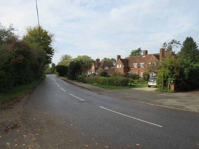
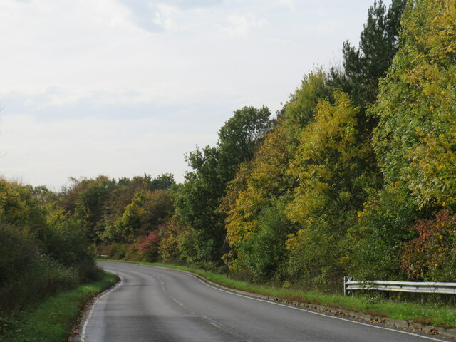
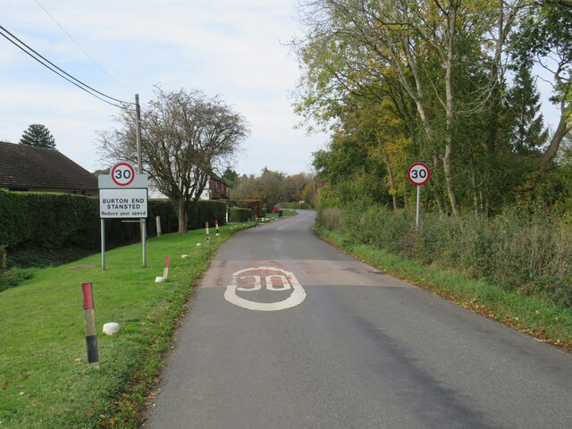
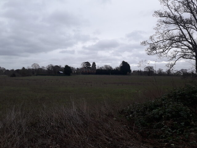
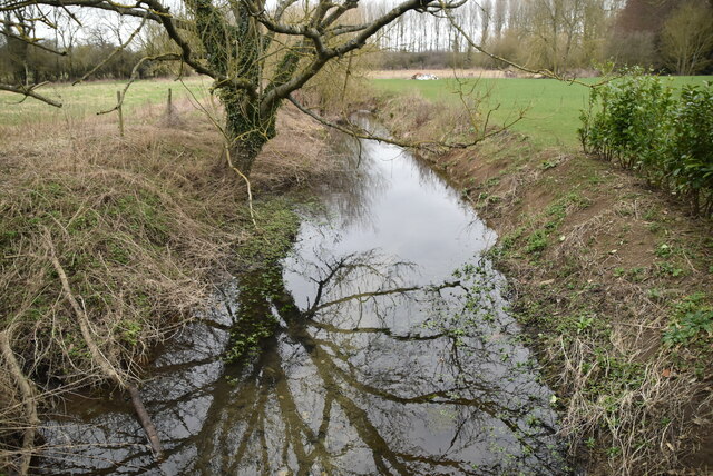
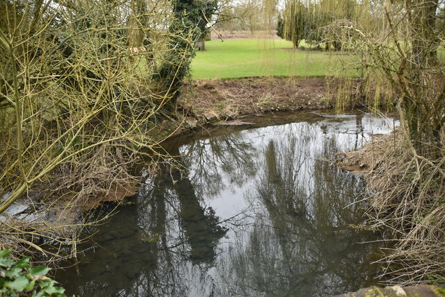
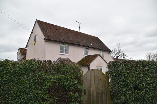
Birchanger is a small village located in the county of Essex, in the East of England. Situated approximately 4 miles northwest of Bishop's Stortford, it falls within the district of Uttlesford. The village is surrounded by picturesque countryside and is known for its tranquil atmosphere.

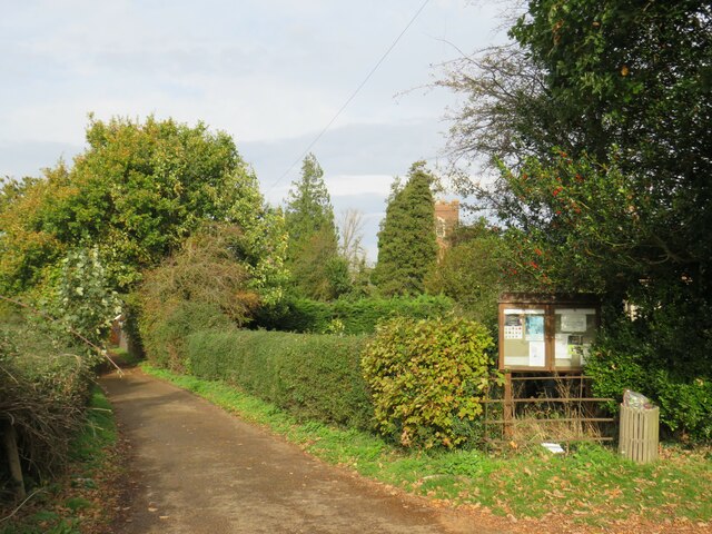
The history of Birchanger can be traced back to the medieval period when it was a thriving agricultural settlement. Evidence of its past can still be seen today in the form of several historic buildings, including St. Mary's Church, which dates back to the 12th century. The church features stunning medieval architecture and is a focal point of the village.

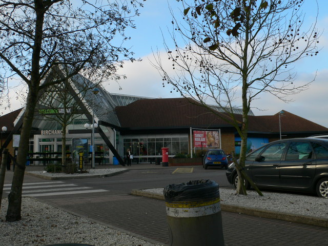
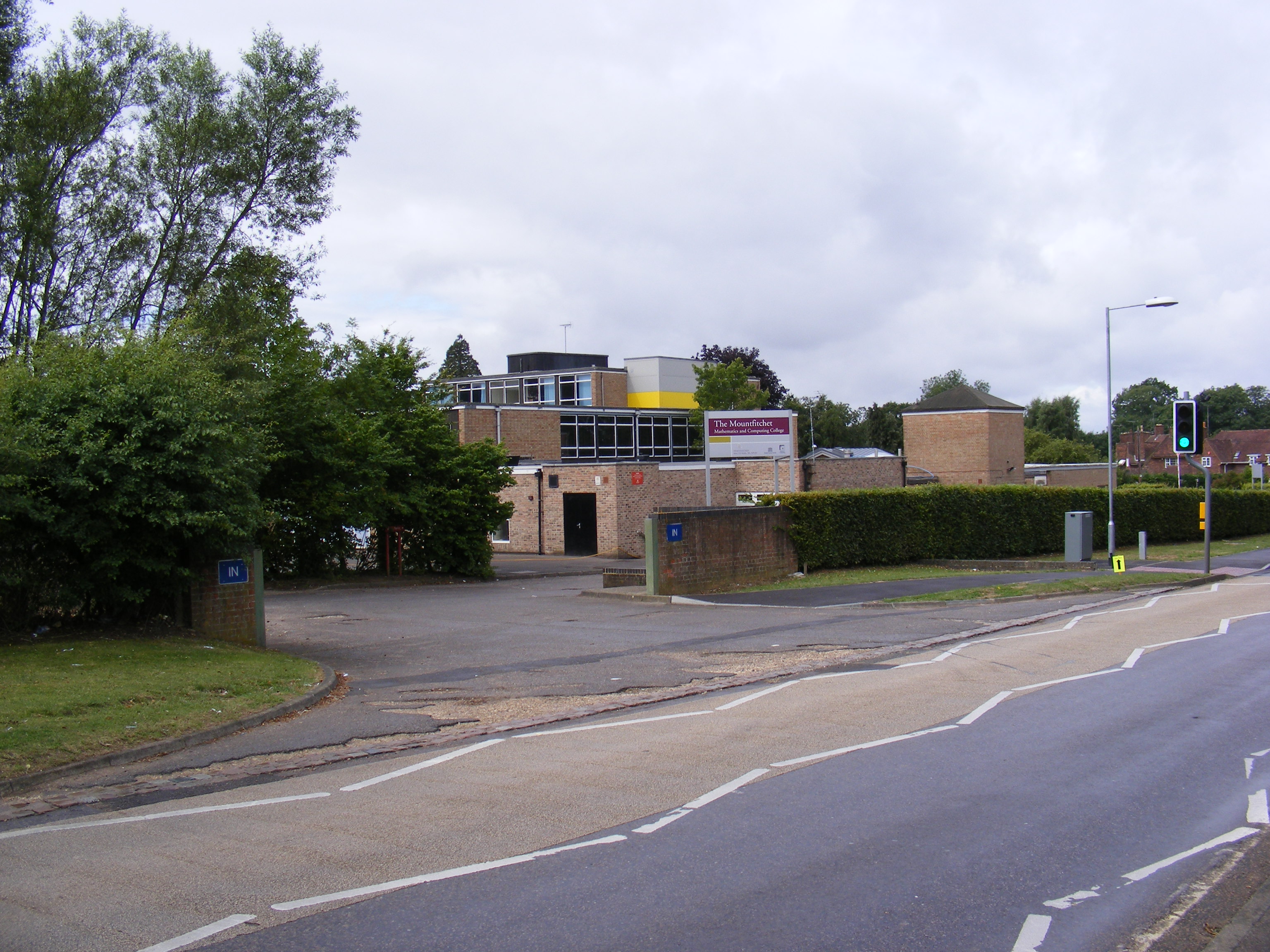
Despite its small size, Birchanger offers a range of amenities for its residents. These include a primary school, a village hall, and a local pub, providing a sense of community for the residents. The village also benefits from its close proximity to Bishop's Stortford, where a wider range of shops, supermarkets, and leisure facilities can be found.

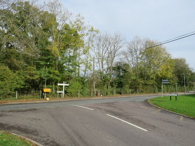
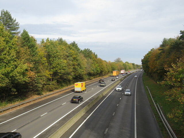
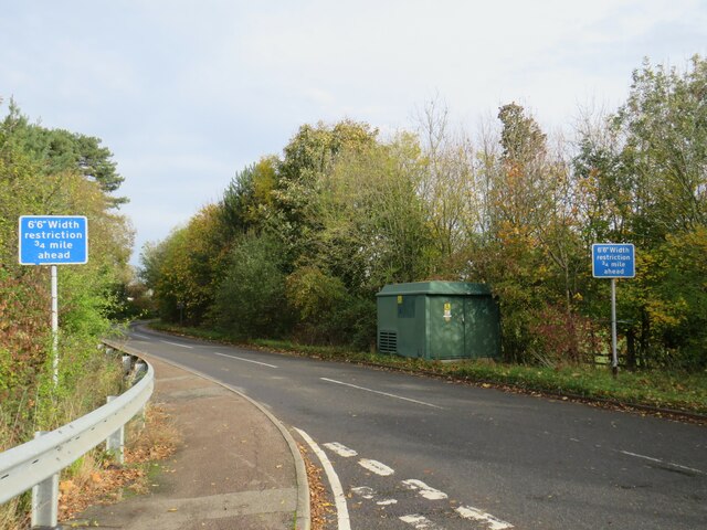
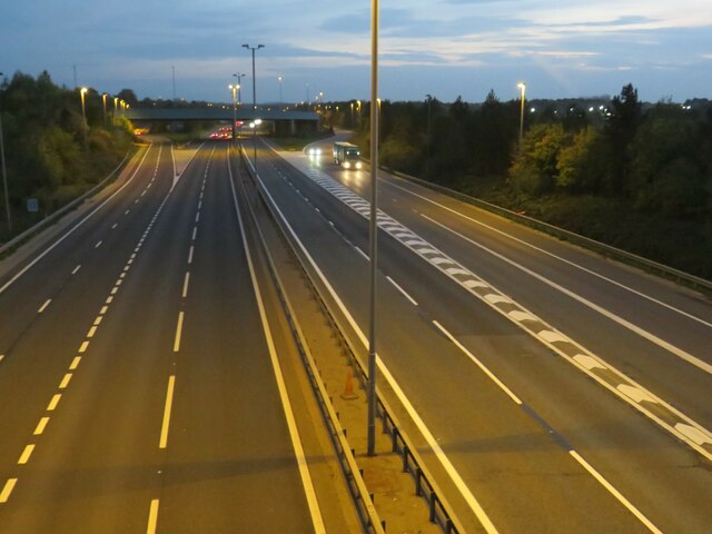
Birchanger enjoys good transport links, with the M11 motorway located nearby, providing easy access to London and Cambridge. The village is also served by regular bus services, connecting it to surrounding towns and villages.

Overall, Birchanger is a charming village with a rich history and a close-knit community. Its idyllic location and range of amenities make it an attractive place to live for those seeking a peaceful rural lifestyle within easy reach of larger towns and cities.

If you have any feedback on the listing, please let us know in the comments section below.

Birchanger Images

Images are sourced within 2km of 51.883674/0.190705 or Grid Reference TL5022. Thanks to Geograph Open Source API. All images are credited.

Forest Hall Road, Stansted Mountfitchet Forest Hall Road on the edge of the village of Stansted Mountfitchet in north Essex.  This road straddles two Ordnance Survey gridsquares.  The left-hand side of the road is in square TL5123, but the right-hand side and the houses are in TL5124.
Forest Hall Road, Stansted Mountfitchet
Forest Hall Road on the edge of the village of Stansted Mountfitchet in north Essex. This road straddles two Ordnance Survey gridsquares. The left-hand side of the road is in square TL5123, but the right-hand side and the houses are in TL5124.
Forest Hall Road, Stansted Mountfitchet Forest Hall Road at its junction with Church Road, on the edge of the village of Stansted Mountfitchet in north Essex.
Forest Hall Road, Stansted Mountfitchet
Forest Hall Road at its junction with Church Road, on the edge of the village of Stansted Mountfitchet in north Essex.
Lane near Stansted Mountfitchet A lane near the village of Stansted Mountfitchet in north Essex.  The Church of Saint Mary the Virgin peeps through the trees.
Lane near Stansted Mountfitchet
A lane near the village of Stansted Mountfitchet in north Essex. The Church of Saint Mary the Virgin peeps through the trees.
M11 motorway near Stansted Mountfitchet A view of the M11 motorway near the village of Stansted Mountfitchet in north Essex.

This image was taken on a late October day.  The sun is quite low in the sky, trees therefore cast shadows over the southbound carriageway (traffic heading towards the camera).
M11 motorway near Stansted Mountfitchet
A view of the M11 motorway near the village of Stansted Mountfitchet in north Essex. This image was taken on a late October day. The sun is quite low in the sky, trees therefore cast shadows over the southbound carriageway (traffic heading towards the camera).
Bury Lodge Lane, near Stansted Mountfitchet Bury Lodge Lane is a minor road in north Essex, close to Stansted Airport.  The road has a width restriction to prevent large vehicles using it as a through route.
Bury Lodge Lane, near Stansted Mountfitchet
Bury Lodge Lane is a minor road in north Essex, close to Stansted Airport. The road has a width restriction to prevent large vehicles using it as a through route.
Autumn tints on Bury Lodge Lane, near Stansted Mountfitchet Bury Lodge Lane is a minor road in north Essex, near the village of Stansted Mountfitchet.

This image was taken in late October.  Trees alongside the road are displaying autumn tints.
Autumn tints on Bury Lodge Lane, near Stansted Mountfitchet
Bury Lodge Lane is a minor road in north Essex, near the village of Stansted Mountfitchet. This image was taken in late October. Trees alongside the road are displaying autumn tints.
Burton End, near Stansted Mountfitchet Burton End is a small hamlet in north Essex, close to Stansted Airport.
Burton End, near Stansted Mountfitchet
Burton End is a small hamlet in north Essex, close to Stansted Airport.
Birchanger Green Services At the busy M11/A120 interchange
Birchanger Green Services
At the busy M11/A120 interchange
National Cycle Network route 16 near Stansted Airport This path forms part of the route of National Cycle Network route 16 as it skirts to the south of Stansted Airport.  This image was taken at dusk on a late October day.
National Cycle Network route 16 near Stansted Airport
This path forms part of the route of National Cycle Network route 16 as it skirts to the south of Stansted Airport. This image was taken at dusk on a late October day.
Dusk on the A120 near Stansted Airport A view of the trunk A120 road, taken from a footbridge.  Here, the A120 approaches the Birchanger interchange, where it has a junction with the M11 motorway.

This image was taken at dusk on a late October day.
Dusk on the A120 near Stansted Airport
A view of the trunk A120 road, taken from a footbridge. Here, the A120 approaches the Birchanger interchange, where it has a junction with the M11 motorway. This image was taken at dusk on a late October day.
M11 at dusk, near Stansted Airport A view over the M11 motorway, taken at dusk on a late October day.  This view looks southwards towards junction 8, for Birchanger Green services and the A120.
M11 at dusk, near Stansted Airport
A view over the M11 motorway, taken at dusk on a late October day. This view looks southwards towards junction 8, for Birchanger Green services and the A120.
Birchanger Green Services
The Manor House near Stansted Hall
Birchanger Green Services Welcome Break operation at the junction of the M11 and A120, and close to Stansted Airport
Birchanger Green Services
Welcome Break operation at the junction of the M11 and A120, and close to Stansted Airport
Old Milestone by the B1383, Stansted Road, Birchanger Carved stone post by the B1383 (was A11), in parish of Birchanger (Uttlesford District), 20m North of bus shelter, by the road, on East side of road. Erected by the Hockerill turnpike trust in the 19th century. An earlier photograph can be found here <a title="https://www.geograph.org.uk/photo/6096356" href="https://www.geograph.org.uk/photo/6096356">Link</a>.

Inscription reads:-
LONDON
30
CAMBRIDGE
24
NEWMARKET
29

Essex HER.
SMR Number: 15780 <span class="nowrap"><a title="https://www.heritagegateway.org.uk/Gateway/Results_Single.aspx?uid=MEX1032862&resourceID=1001" rel="nofollow ugc noopener" href="https://www.heritagegateway.org.uk/Gateway/Results_Single.aspx?uid=MEX1032862&resourceID=1001">Link</a><img style="margin-left:2px;" alt="External link" title="External link - shift click to open in new window" src="https://s1.geograph.org.uk/img/external.png" width="10" height="10"/></span>

Milestone Society National ID: EX_BSGC30
Old Milestone by the B1383, Stansted Road, Birchanger
Carved stone post by the B1383 (was A11), in parish of Birchanger (Uttlesford District), 20m North of bus shelter, by the road, on East side of road. Erected by the Hockerill turnpike trust in the 19th century. An earlier photograph can be found here Link. Inscription reads:- LONDON 30 CAMBRIDGE 24 NEWMARKET 29 Essex HER. SMR Number: 15780 LinkExternal link Milestone Society National ID: EX_BSGC30
River Stort River Stort takes its name from Bishop's Stortford, a town through which it flows. It was given the name in the 16th century.
Its source is in Langley Hills, near Clavering, in Essex. After flowing through Bishop's Stortford, the river continues as the Stort Navigation for another 13.25 miles through Hertfordshire past Harlow to Feildes Weir near Hoddesdon, where it joins the River Lea.
River Stort
River Stort takes its name from Bishop's Stortford, a town through which it flows. It was given the name in the 16th century. Its source is in Langley Hills, near Clavering, in Essex. After flowing through Bishop's Stortford, the river continues as the Stort Navigation for another 13.25 miles through Hertfordshire past Harlow to Feildes Weir near Hoddesdon, where it joins the River Lea.
River Stort
River Stort
Bentfield
Bentfield
Show me another place!

Birchanger is located at Grid Ref: TL5022 (Lat: 51.883674, Lng: 0.190705)

Administrative County: Essex

District: Uttlesford

Police Authority: Essex

What 3 Words

///rules.ambition.developed. Near Stansted Mountfitchet, Essex

Related Wikis

Nearby Amenities

Located within 500m of 51.883674,0.190705
Birchanger
Place: village
Lat/Long: 51.8830537/0.1913091
Bus Stop
Bradley Common
Bus: yes
Naptan AtcoCode: 150018010010
Naptan Bearing: S
Naptan BusStopType: CUS
Naptan CommonName: Bradley Common
Naptan Indicator: Opp
Naptan Landmark: Bradley Common
Naptan NaptanCode: esxdawmd
Naptan Street: Birchanger Lane
Naptan Verified: no
Public Transport: platform
Source: naptan_import
Lat/Long: 51.8862778/0.1865435
Bus Stop
Primary School
Bus: yes
Naptan AtcoCode: 150018011Y01
Naptan Bearing: NW
Naptan BusStopType: CUS
Naptan CommonName: Primary School
Naptan Indicator: Opp
Naptan Landmark: Primary School
Naptan NaptanCode: esxgpgtw
Naptan Street: Birchanger Lane
Naptan Verified: no
Public Transport: platform
Source: naptan_import
Lat/Long: 51.8830206/0.1914714
Bus Stop
Bradley Common
Bus: yes
Naptan AtcoCode: 1500IM620
Naptan Bearing: N
Naptan BusStopType: CUS
Naptan CommonName: Bradley Common
Naptan Indicator: Adj
Naptan Landmark: Bradley Common
Naptan NaptanCode: esxadgaw
Naptan Street: Birchanger Lane
Naptan Verified: no
Public Transport: platform
Source: naptan_import
Lat/Long: 51.8866842/0.186447
Entrance: yes
Lat/Long: 51.8851437/0.1913141
Barrier: stile
Lat/Long: 51.8842417/0.18762
Post Box
Birchanger
Brand: Royal Mail
Brand Wikidata: Q638098
Collection Times: Mo-Fr 16:30; Sa 11:30
Operator: Royal Mail
Operator Wikidata: Q638098
Post Box Type: wall
Ref: CM23 53
Royal Cypher: GVIR
Royal Cypher Wikidata: Q33102169
Source: survey
Lat/Long: 51.8862523/0.1864677
Post Box
Birchanger Lane
Brand: Royal Mail
Brand Wikidata: Q638098
Brand Wikipedia: en:Royal Mail
Collection Times: Mo-Fr 16:30; Sa 08:00
Operator: Royal Mail
Operator Wikidata: Q638098
Post Box Mounting: brick_pillar
Post Box Type: wall
Ref: CM23 99
Royal Cypher: EIIR
Royal Cypher Wikidata: Q33102113
Source: survey
Lat/Long: 51.8821654/0.192268
Telephone
Booth: KX100
Covered: booth
Currency GBP: yes
Indoor: no
Internet Access: no
Payment Coins: yes
Payment Credit Cards: no
Payment Debit Cards: no
Payment Electronic Purses: no
Payment Notes: no
Payment Telephone Cards: no
Phone: +44 1279 812023
Sms: no
Source: bing
Video: no
Wheelchair: no
Lat/Long: 51.8821497/0.1922868
Defibrillator
Access: yes
Defibrillator Location: wall
Emergency: defibrillator
Indoor: no
Phone: +44 1277 811 215
Source: survey
Website: http://www.sadsuk.org
Lat/Long: 51.8831528/0.1919877
The Cottage Guest House
Addr City: Bishop's Stortford
Addr Country: GB
Addr Housenumber: 71
Addr Postcode: CM23 5QA
Addr Street: Birchanger Lane
Fhrs Authority: Uttlesford
Fhrs Id: 804015
Tourism: guest_house
Lat/Long: 51.8862504/0.1868426
Harrisons B&B
Addr City: Bishop's Stortford
Addr Country: GB
Addr Housenumber: 33
Addr Postcode: CM23 5QT
Addr Street: Harrisons
Fhrs Authority: Uttlesford
Fhrs Id: 478433
Tourism: guest_house
Lat/Long: 51.882909/0.1903174
Fixme: needs survey
Lat/Long: 51.8844253/0.1897556
Generator Method: photovoltaic
Generator Output Electricity: yes
Generator Source: solar
Generator Type: solar_photovoltaic_panel
Location: roof
Power: generator
Lat/Long: 51.8860742/0.1859227
Generator Method: photovoltaic
Generator Output Electricity: yes
Generator Source: solar
Generator Type: solar_photovoltaic_panel
Location: roof
Power: generator
Lat/Long: 51.8850544/0.1916197
Generator Method: photovoltaic
Generator Output Electricity: yes
Generator Source: solar
Generator Type: solar_photovoltaic_panel
Location: roof
Power: generator
Lat/Long: 51.8847696/0.1927865
Generator Method: photovoltaic
Generator Output Electricity: yes
Generator Source: solar
Generator Type: solar_photovoltaic_panel
Location: roof
Power: generator
Lat/Long: 51.8843988/0.1938996
Generator Method: photovoltaic
Generator Output Electricity: yes
Generator Source: solar
Generator Type: solar_photovoltaic_panel
Location: roof
Power: generator
Lat/Long: 51.8845875/0.1933444
Generator Method: photovoltaic
Generator Output Electricity: yes
Generator Source: solar
Generator Type: solar_photovoltaic_panel
Location: roof
Power: generator
Lat/Long: 51.8845296/0.1935133
Generator Method: photovoltaic
Generator Output Electricity: yes
Generator Source: solar
Generator Type: solar_photovoltaic_panel
Location: roof
Power: generator
Lat/Long: 51.8845859/0.1919576
Generator Method: photovoltaic
Generator Output Electricity: yes
Generator Source: solar
Generator Type: solar_photovoltaic_panel
Location: roof
Power: generator
Lat/Long: 51.8845511/0.1920274
Generator Method: photovoltaic
Generator Output Electricity: yes
Generator Source: solar
Generator Type: solar_photovoltaic_panel
Location: roof
Power: generator
Lat/Long: 51.8839336/0.1918182
Generator Method: photovoltaic
Generator Output Electricity: yes
Generator Source: solar
Generator Type: solar_photovoltaic_panel
Location: roof
Power: generator
Lat/Long: 51.8839385/0.1924163
Generator Method: photovoltaic
Generator Output Electricity: yes
Generator Source: solar
Generator Type: solar_photovoltaic_panel
Location: roof
Power: generator
Lat/Long: 51.8840991/0.1941222
Generator Method: photovoltaic
Generator Output Electricity: yes
Generator Source: solar
Generator Type: solar_photovoltaic_panel
Location: roof
Power: generator
Lat/Long: 51.8840445/0.1940015
Generator Method: photovoltaic
Generator Output Electricity: yes
Generator Source: solar
Generator Type: solar_photovoltaic_panel
Location: roof
Power: generator
Lat/Long: 51.8840544/0.193626
Generator Method: photovoltaic
Generator Output Electricity: yes
Generator Source: solar
Generator Type: solar_photovoltaic_panel
Location: roof
Power: generator
Lat/Long: 51.8839816/0.1936018
Generator Method: photovoltaic
Generator Output Electricity: yes
Generator Source: solar
Generator Type: solar_photovoltaic_panel
Location: roof
Power: generator
Lat/Long: 51.8838756/0.1936072
Generator Method: photovoltaic
Generator Output Electricity: yes
Generator Source: solar
Generator Type: solar_photovoltaic_panel
Location: roof
Power: generator
Lat/Long: 51.8836786/0.1934999
Generator Method: photovoltaic
Generator Output Electricity: yes
Generator Source: solar
Generator Type: solar_photovoltaic_panel
Location: roof
Power: generator
Lat/Long: 51.8836422/0.1933899
Generator Method: photovoltaic
Generator Output Electricity: yes
Generator Source: solar
Generator Type: solar_photovoltaic_panel
Location: roof
Power: generator
Lat/Long: 51.8835991/0.1931754
Generator Method: photovoltaic
Generator Output Electricity: yes
Generator Source: solar
Generator Type: solar_photovoltaic_panel
Location: roof
Power: generator
Lat/Long: 51.883561/0.1906005
Generator Method: photovoltaic
Generator Output Electricity: yes
Generator Source: solar
Generator Type: solar_photovoltaic_panel
Location: roof
Power: generator
Lat/Long: 51.8813011/0.1933283
Bus Stop
Birchanger;Primary School
Bus: yes
Naptan AtcoCode: 150018011001
Naptan Bearing: SE
Naptan BusStopType: CUS
Naptan CommonName: Primary School
Naptan Indicator: o/s
Naptan Landmark: Primary School
Naptan NaptanCode: esxdapmp
Naptan Street: Birchanger Lane
Naptan Verified: no
Public Transport: platform
Source: naptan_import
Lat/Long: 51.8827756/0.1917578
Barrier: bollard
Description: Not exactly a bollard, but a small metal frame, to block vehicles, which can be raised or lowered flat.
Material: metal
Lat/Long: 51.8850541/0.1865956
Generator Method: photovoltaic
Generator Output Electricity: yes
Generator Source: solar
Generator Type: solar_photovoltaic_panel
Location: roof
Power: generator
Lat/Long: 51.8825345/0.1899084
Generator Method: photovoltaic
Generator Output Electricity: yes
Generator Source: solar
Generator Type: solar_photovoltaic_panel
Location: roof
Power: generator
Lat/Long: 51.8827349/0.1903
Waste Basket
Waste: dog_excrement
Lat/Long: 51.8838869/0.1938993
Birchanger
Man Made: village_sign
Lat/Long: 51.8829632/0.1916792
Information: guidepost
Tourism: information
Lat/Long: 51.8801518/0.1941723
The data included in this document is from www.openstreetmap.org. The data is made available under ODbL.

Have you been to Birchanger?

Leave your review of Birchanger below (or comments, questions and feedback).