Birchanger Wood

Wood, Forest in Essex Uttlesford

England

Birchanger Wood

Birchanger Green Services At the busy M11/A120 interchange
Birchanger Green Services Credit: John Myers

Birchanger Wood is a picturesque woodland located in the county of Essex, England. It spans an area of approximately 45 hectares and consists of a mixture of ancient woodland and newer plantations. The wood is managed by the Essex Wildlife Trust and is a designated Site of Special Scientific Interest (SSSI) due to its rich biodiversity.

The woodland is characterized by a variety of tree species, including oak, beech, ash, and birch. These trees create a dense canopy, providing a habitat for a diverse range of flora and fauna. Bluebells carpet the forest floor in spring, creating a stunning display of vibrant colors.

Birchanger Wood is home to a wide range of wildlife, making it a popular destination for nature enthusiasts. The wood is a haven for birdwatchers, with species such as great spotted woodpeckers, nuthatches, and treecreepers frequently spotted. Mammals such as foxes, badgers, and squirrels also inhabit the woodland.

The wood has a network of well-maintained footpaths and trails, allowing visitors to explore its beauty at their own pace. There are also picnic areas and benches scattered throughout the wood, providing opportunities for relaxation and enjoying the peaceful surroundings.

Birchanger Wood is easily accessible, situated just off the M11 motorway, making it a convenient destination for both locals and visitors from further afield. The wood offers a tranquil escape from the hustle and bustle of everyday life, providing a serene and natural environment for all to enjoy.

If you have any feedback on the listing, please let us know in the comments section below.

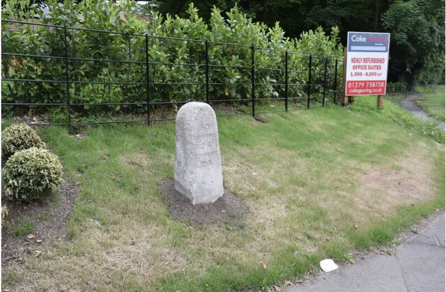
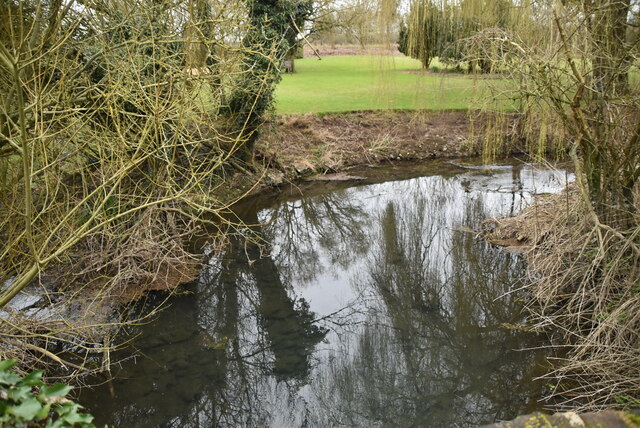
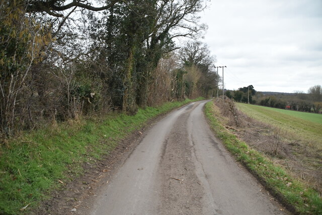
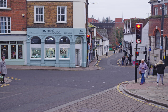
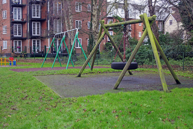
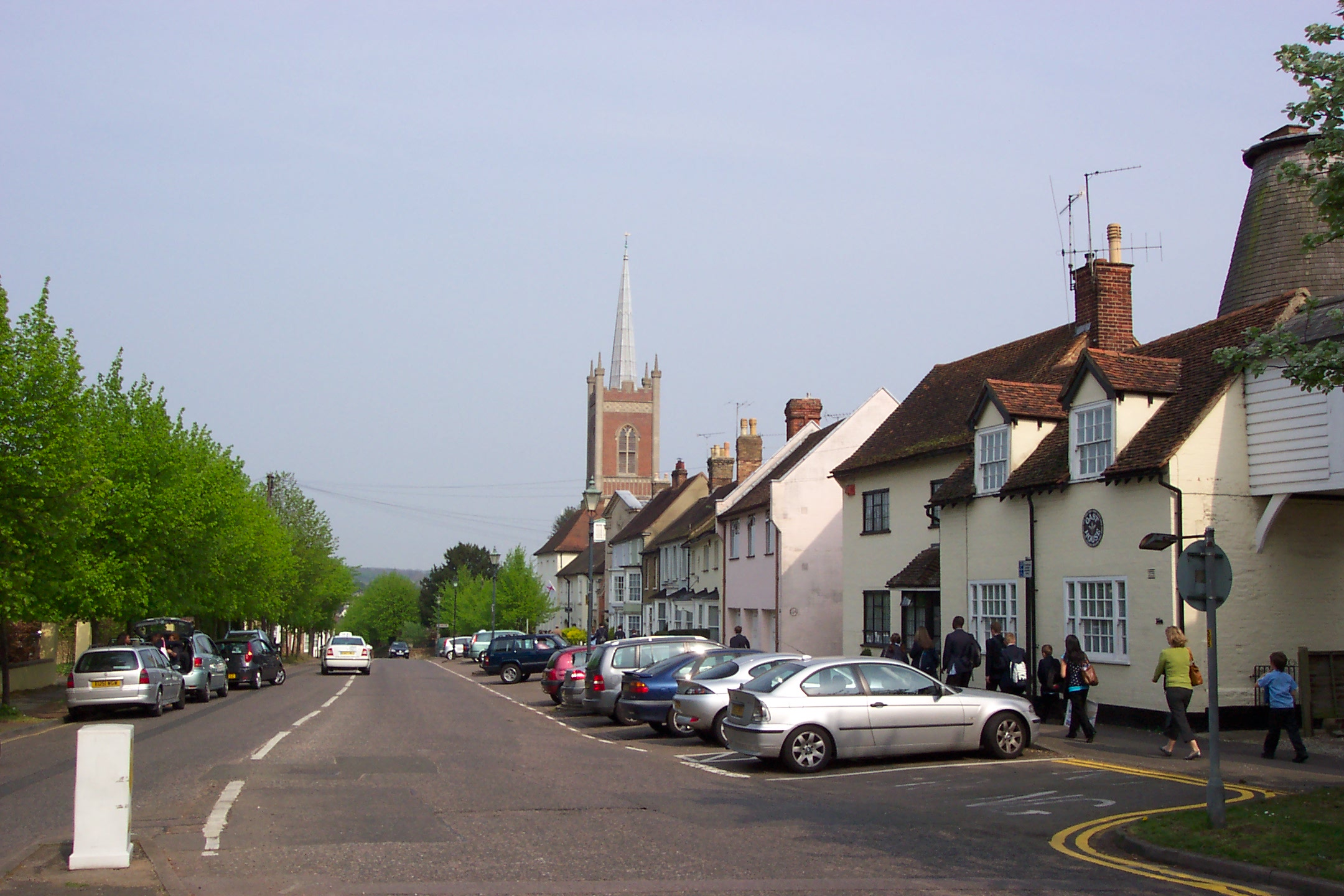
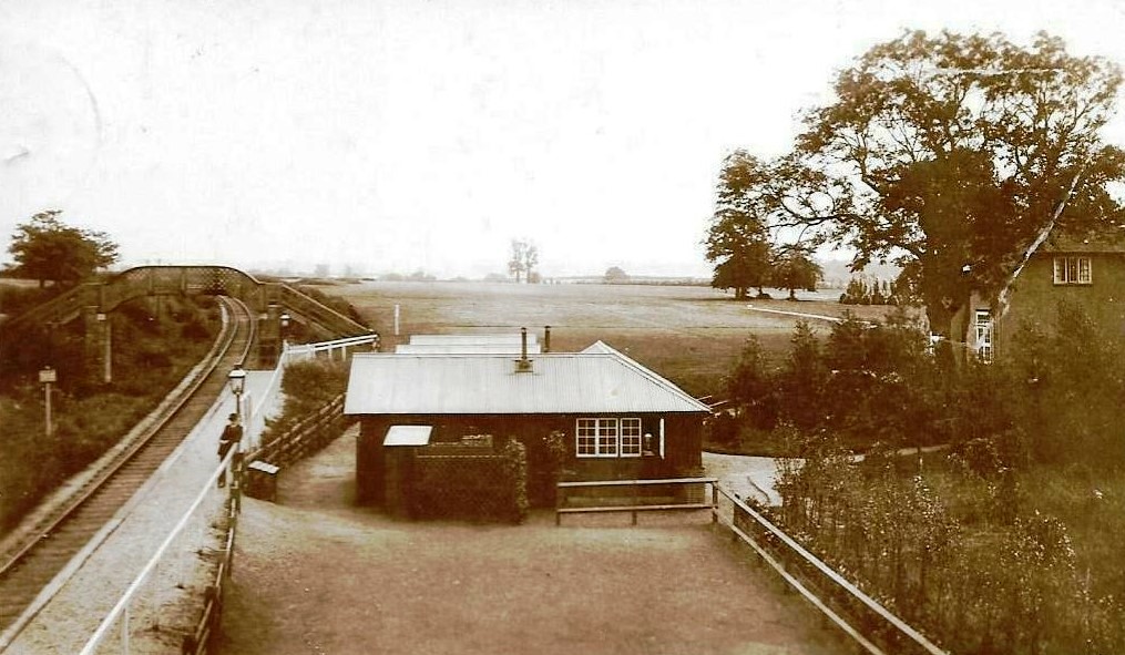
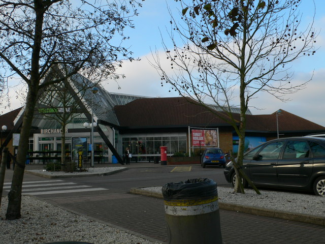
Birchanger Wood Images

Images are sourced within 2km of 51.881477/0.18073056 or Grid Reference TL5022. Thanks to Geograph Open Source API. All images are credited.

Birchanger Green Services At the busy M11/A120 interchange
Birchanger Green Services
At the busy M11/A120 interchange
Dusk on the A120 near Stansted Airport A view of the trunk A120 road, taken from a footbridge.  Here, the A120 approaches the Birchanger interchange, where it has a junction with the M11 motorway.

This image was taken at dusk on a late October day.
Dusk on the A120 near Stansted Airport
A view of the trunk A120 road, taken from a footbridge. Here, the A120 approaches the Birchanger interchange, where it has a junction with the M11 motorway. This image was taken at dusk on a late October day.
M11 at dusk, near Stansted Airport A view over the M11 motorway, taken at dusk on a late October day.  This view looks southwards towards junction 8, for Birchanger Green services and the A120.
M11 at dusk, near Stansted Airport
A view over the M11 motorway, taken at dusk on a late October day. This view looks southwards towards junction 8, for Birchanger Green services and the A120.
Birchanger Green Services
Birchanger Green Services Welcome Break operation at the junction of the M11 and A120, and close to Stansted Airport
Birchanger Green Services
Welcome Break operation at the junction of the M11 and A120, and close to Stansted Airport
Old Milestone by the B1383, Stansted Road, Birchanger Carved stone post by the B1383 (was A11), in parish of Birchanger (Uttlesford District), 20m North of bus shelter, by the road, on East side of road. Erected by the Hockerill turnpike trust in the 19th century. An earlier photograph can be found here <a title="https://www.geograph.org.uk/photo/6096356" href="https://www.geograph.org.uk/photo/6096356">Link</a>.

Inscription reads:-
LONDON
30
CAMBRIDGE
24
NEWMARKET
29

Essex HER.
SMR Number: 15780 <span class="nowrap"><a title="https://www.heritagegateway.org.uk/Gateway/Results_Single.aspx?uid=MEX1032862&resourceID=1001" rel="nofollow ugc noopener" href="https://www.heritagegateway.org.uk/Gateway/Results_Single.aspx?uid=MEX1032862&resourceID=1001">Link</a><img style="margin-left:2px;" alt="External link" title="External link - shift click to open in new window" src="https://s1.geograph.org.uk/img/external.png" width="10" height="10"/></span>

Milestone Society National ID: EX_BSGC30
Old Milestone by the B1383, Stansted Road, Birchanger
Carved stone post by the B1383 (was A11), in parish of Birchanger (Uttlesford District), 20m North of bus shelter, by the road, on East side of road. Erected by the Hockerill turnpike trust in the 19th century. An earlier photograph can be found here Link. Inscription reads:- LONDON 30 CAMBRIDGE 24 NEWMARKET 29 Essex HER. SMR Number: 15780 LinkExternal link Milestone Society National ID: EX_BSGC30
River Stort
River Stort
Limekiln Lane
Limekiln Lane
Glyn Hopkin Nissan, Bishop's Stortford
High Street, Bishop's Stortford These crossroads in the heart of the town are at the eastern end of High Street where it meets (clockwise) North Street, Bridge Street and Market Street. Most of the shops are on Market Street. Finery & Co are independent jewellers with shops in Saffron Walden and here in Bishop's Stortford.
High Street, Bishop's Stortford
These crossroads in the heart of the town are at the eastern end of High Street where it meets (clockwise) North Street, Bridge Street and Market Street. Most of the shops are on Market Street. Finery & Co are independent jewellers with shops in Saffron Walden and here in Bishop's Stortford.
Adnams, Bishop's Stortford Adnams is a long-established brewing company based in Southwold. As well as a significant pub estate it runs a number of retail outlets selling beers, wines, spirits and other products. Most of these shops are in Suffolk and Norfolk but Bishop's Stortford has this one on High Street. The window display looks suitably festive.
Adnams, Bishop's Stortford
Adnams is a long-established brewing company based in Southwold. As well as a significant pub estate it runs a number of retail outlets selling beers, wines, spirits and other products. Most of these shops are in Suffolk and Norfolk but Bishop's Stortford has this one on High Street. The window display looks suitably festive.
High Street, Bishop's Stortford The building on the corner of High Street and Basbow Lane dates from around 1360 with 16th century additions. Slaters a tailor, draper and undertaker was established here in 1601, changing its name to Tissimans in the late 19th century and later Alexandra Wood. It remained a gentleman's outfitters (although the undertaking side of the business evidently disappeared at some point) and claimed to be the oldest men's clothing establishment in the world. The business has now moved and the premises have been taken over by Adnams the Suffolk brewery.
High Street, Bishop's Stortford
The building on the corner of High Street and Basbow Lane dates from around 1360 with 16th century additions. Slaters a tailor, draper and undertaker was established here in 1601, changing its name to Tissimans in the late 19th century and later Alexandra Wood. It remained a gentleman's outfitters (although the undertaking side of the business evidently disappeared at some point) and claimed to be the oldest men's clothing establishment in the world. The business has now moved and the premises have been taken over by Adnams the Suffolk brewery.
St Michael's Churchyard, Bishop's Stortford The churchyard outside the grade I listed 15th century St Michael's Church faces High Street with the Boar's Head, now a steak restaurant, opposite.
St Michael's Churchyard, Bishop's Stortford
The churchyard outside the grade I listed 15th century St Michael's Church faces High Street with the Boar's Head, now a steak restaurant, opposite.
The Corn Exchange, Bishop's Stortford An outsize Santa stands outside the grade II listed Corn Exchange which was built in 1828 to a design by Lewis Vulliamy. As well as a market place for agricultural products it has had various uses over the years including as a synagogue for Jewish refugees evacuated from London during the Second World War. It ceased trading as a corn exchange in 1959 and was threatened with demolition in the 1960s. Today, it houses a restaurant, bar and entertainment venue called 'Host'.
The Corn Exchange, Bishop's Stortford
An outsize Santa stands outside the grade II listed Corn Exchange which was built in 1828 to a design by Lewis Vulliamy. As well as a market place for agricultural products it has had various uses over the years including as a synagogue for Jewish refugees evacuated from London during the Second World War. It ceased trading as a corn exchange in 1959 and was threatened with demolition in the 1960s. Today, it houses a restaurant, bar and entertainment venue called 'Host'.
River Stort Navigation, Bishop's Stortford This used to be the main channel of the River Stort through Bishop's Stortford town centre. Today this has been blocked off by the Jackson Square Shopping Centre and the main flow goes under Hockerill Bridge. This short arm allows boats to wind (turn) at the head of navigation.
River Stort Navigation, Bishop's Stortford
This used to be the main channel of the River Stort through Bishop's Stortford town centre. Today this has been blocked off by the Jackson Square Shopping Centre and the main flow goes under Hockerill Bridge. This short arm allows boats to wind (turn) at the head of navigation.
Hockerill Cut, Bishop's Stortford The Hockerill Cut is the end of navigation on the River Stort. The main channel of the river now flows this way but boats cannot go beyond the bridge.
Hockerill Cut, Bishop's Stortford
The Hockerill Cut is the end of navigation on the River Stort. The main channel of the river now flows this way but boats cannot go beyond the bridge.
Castle Park, Bishop's Stortford Children's play equipment at the southern end of the park is seen here on a day that the forecasts had promised would be bright sunshine but in fact the thick cloud cover never lifted.
Castle Park, Bishop's Stortford
Children's play equipment at the southern end of the park is seen here on a day that the forecasts had promised would be bright sunshine but in fact the thick cloud cover never lifted.
Home Farmhouse Grade II listed.
Home Farmhouse
Grade II listed.
Show me another place!

Birchanger Wood is located at Grid Ref: TL5022 (Lat: 51.881477, Lng: 0.18073056)

Administrative County: Essex

District: Uttlesford

Police Authority: Essex

What 3 Words

///lace.validated.mashing. Near Bishops Stortford, Hertfordshire

Related Wikis

Nearby Amenities

Located within 500m of 51.881477,0.18073056
Noexit: yes
Lat/Long: 51.8801932/0.1771202
Bus Stop
Northolt Avenue
Bench: no
Bin: no
Bus: yes
Lit: no
Naptan AtcoCode: 210021305675
Naptan Bearing: E
Naptan CommonName: Northolt Avenue
Naptan Crossing: Northolt Avenue
Naptan Indicator: adj
Naptan Landmark: Northolt Avenue
Naptan NaptanCode: hrtdtdat
Naptan PlusbusZoneRef: BSHPSFD
Naptan ShortCommonName: NA
Naptan Street: Heath Row
Naptan Verified: no
Public Transport: platform
Shelter: no
Source: naptan_import
Tactile Paving: no
Lat/Long: 51.8791478/0.1758086
Bus Stop
Hurn Grove
Bench: yes
Bin: no
Bus: yes
Lit: yes
Local Ref: NR
Naptan AtcoCode: 210021305690
Naptan Bearing: E
Naptan CommonName: Hurn Grove
Naptan Crossing: Water Tower
Naptan Indicator: nr
Naptan Landmark: Water Tower
Naptan NaptanCode: hrtdtdgj
Naptan PlusbusZoneRef: BSHPSFD
Naptan ShortCommonName: NA
Naptan Street: Heath Row
Naptan Verified: no
Public Transport: platform
Shelter: yes
Source: naptan_import
Tactile Paving: no
Lat/Long: 51.8789672/0.178764
Bus Stop
Cranwell Gardens
Bench: no
Bin: no
Bus: yes
Lit: no
Naptan AtcoCode: 210021305695
Naptan Bearing: S
Naptan CommonName: Cranwell Gardens
Naptan Crossing: Fulton Crescent
Naptan Indicator: adj
Naptan Landmark: Fulton Crescent
Naptan NaptanCode: hrtdtdgm
Naptan PlusbusZoneRef: BSHPSFD
Naptan ShortCommonName: NA
Naptan Street: Heath Row
Naptan Verified: no
Public Transport: platform
Shelter: no
Source: naptan_import
Tactile Paving: no
Lat/Long: 51.8775869/0.1814287
Bus Stop
Cranwell Gardens
Bench: no
Bin: no
Bus: yes
Lit: no
Naptan AtcoCode: 210021307920
Naptan Bearing: NE
Naptan CommonName: Cranwell Gardens
Naptan Crossing: Fulton Crescent
Naptan Indicator: opp
Naptan Landmark: Fulton Crescent
Naptan NaptanCode: hrtdptmp
Naptan PlusbusZoneRef: BSHPSFD
Naptan ShortCommonName: NA
Naptan Street: Heath Row
Naptan Verified: no
Public Transport: platform
Shelter: no
Source: naptan_import
Tactile Paving: no
Lat/Long: 51.8770892/0.1811141
Bus Stop
Hurn Grove
Bench: no
Bin: no
Bus: yes
Lit: no
Naptan AtcoCode: 210021307930
Naptan Bearing: W
Naptan CommonName: Hurn Grove
Naptan Crossing: Water Tower
Naptan Indicator: opp
Naptan Landmark: Water Tower
Naptan NaptanCode: hrtdptpd
Naptan PlusbusZoneRef: BSHPSFD
Naptan ShortCommonName: NA
Naptan Street: Heath Row
Naptan Verified: no
Public Transport: platform
Shelter: no
Source: naptan_import
Tactile Paving: no
Lat/Long: 51.8787266/0.1791301
Bus Stop
Northolt Avenue
Bench: no
Bin: no
Bus: yes
Lit: no
Naptan AtcoCode: 210021307940
Naptan Bearing: W
Naptan CommonName: Northolt Avenue
Naptan Crossing: Northolt Avenue
Naptan Indicator: opp
Naptan Landmark: Northolt Avenue
Naptan NaptanCode: hrtdptpa
Naptan PlusbusZoneRef: BSHPSFD
Naptan ShortCommonName: NA
Naptan Street: Heath Row
Naptan Verified: no
Public Transport: platform
Shelter: no
Source: naptan_import
Tactile Paving: no
Lat/Long: 51.8790442/0.1750916
Noexit: yes
Lat/Long: 51.8797959/0.1784732
Barrier: swing_gate
Material: metal
Lat/Long: 51.8830673/0.1831328
Barrier: swing_gate
Material: metal
Lat/Long: 51.8832058/0.1825579
Communication Mobile Phone: yes
Man Made: mast
Tower Construction: tube
Tower Type: communication
Lat/Long: 51.8829479/0.1832966
Crossing
Crossing: marked
Crossing Markings: yes
Lat/Long: 51.8834053/0.1742501
Barrier: kissing_gate
Bicycle: yes
Lat/Long: 51.881418/0.1763921
Crossing
Crossing: unmarked
Crossing Island: no
Kerb: lowered
Tactile Paving: no
Lat/Long: 51.8791892/0.1751441
Crossing
Crossing: unmarked
Crossing Island: no
Kerb: lowered
Tactile Paving: no
Lat/Long: 51.879185/0.1780482
Generator Method: photovoltaic
Generator Output Electricity: yes
Generator Source: solar
Generator Type: solar_photovoltaic_panel
Location: roof
Power: generator
Lat/Long: 51.880147/0.1791555
Generator Method: photovoltaic
Generator Output Electricity: yes
Generator Source: solar
Generator Type: solar_photovoltaic_panel
Location: roof
Power: generator
Lat/Long: 51.8799102/0.1808077
Generator Method: photovoltaic
Generator Output Electricity: yes
Generator Source: solar
Generator Type: solar_photovoltaic_panel
Location: roof
Power: generator
Lat/Long: 51.8799508/0.1808071
Generator Method: photovoltaic
Generator Output Electricity: yes
Generator Source: solar
Generator Type: solar_photovoltaic_panel
Location: roof
Power: generator
Lat/Long: 51.8782665/0.1827121
Generator Method: photovoltaic
Generator Output Electricity: yes
Generator Source: solar
Generator Type: solar_photovoltaic_panel
Location: roof
Power: generator
Lat/Long: 51.8782714/0.1827657
Generator Method: photovoltaic
Generator Output Electricity: yes
Generator Source: solar
Generator Type: solar_photovoltaic_panel
Location: roof
Power: generator
Lat/Long: 51.8785608/0.1805234
Generator Method: photovoltaic
Generator Output Electricity: yes
Generator Source: solar
Generator Type: solar_photovoltaic_panel
Location: roof
Power: generator
Lat/Long: 51.8785508/0.1804295
Generator Method: photovoltaic
Generator Output Electricity: yes
Generator Source: solar
Generator Type: solar_photovoltaic_panel
Location: roof
Power: generator
Lat/Long: 51.8783853/0.1798502
Generator Method: photovoltaic
Generator Output Electricity: yes
Generator Source: solar
Generator Type: solar_photovoltaic_panel
Location: roof
Power: generator
Lat/Long: 51.8784051/0.1797804
Generator Method: photovoltaic
Generator Output Electricity: yes
Generator Source: solar
Generator Type: solar_photovoltaic_panel
Location: roof
Power: generator
Lat/Long: 51.8784846/0.1795632
Generator Method: photovoltaic
Generator Output Electricity: yes
Generator Source: solar
Generator Type: solar_photovoltaic_panel
Location: roof
Power: generator
Lat/Long: 51.8783157/0.1783615
Crossing
Crossing: unmarked
Crossing Island: no
Crossing Markings: no
Tactile Paving: yes
Lat/Long: 51.8791297/0.1799862
Information: board
Tourism: information
Lat/Long: 51.8794785/0.1818434
Parcel Locker
Eira
Brand: Amazon Hub
Brand Wikidata: Q100274430
Brand Wikipedia: en:Amazon Locker
Fixme: Needs survey for exact location.
Parcel Mail In: yes
Lat/Long: 51.8845708/0.1755858
Man Made: tower
Lat/Long: 51.8824239/0.1836064
Addr City: Bishop's Stortford
Addr Housenumber: 6
Addr Street: Oaklands Park
Lat/Long: 51.8823318/0.1736993
Addr City: Bishop's Stortford
Addr Housenumber: 7
Addr Street: Oaklands Park
Lat/Long: 51.882302/0.1738642
Addr City: Bishop's Stortford
Addr Housenumber: 8
Addr Street: Oaklands Park
Lat/Long: 51.8823103/0.1740976
Addr City: Bishop's Stortford
Addr Housenumber: 9
Addr Street: Oaklands Park
Lat/Long: 51.8823119/0.1743014
Addr City: Bishop's Stortford
Addr Housenumber: 10
Addr Street: Oaklands Park
Lat/Long: 51.882297/0.174516
Addr City: Bishop's Stortford
Addr Housenumber: 11
Addr Street: Oaklands Park
Lat/Long: 51.8822854/0.1747091
Addr City: Bishop's Stortford
Addr Housenumber: 9
Addr Street: Oaklands Drive
Lat/Long: 51.8809454/0.1744628
Addr City: Bishop's Stortford
Addr Housenumber: 1
Addr Street: Oaklands Drive
Lat/Long: 51.8814884/0.1746586
Addr City: Bishop's Stortford
Addr Housenumber: 3
Addr Street: Oaklands Drive
Lat/Long: 51.8813576/0.1746184
Addr City: Bishop's Stortford
Addr Housenumber: 5
Addr Street: Oaklands Drive
Lat/Long: 51.8812219/0.174621
Addr City: Bishop's Stortford
Addr Housenumber: 7
Addr Street: Oaklands Drive
Lat/Long: 51.8810877/0.1745915
Addr City: Bishop's Stortford
Addr Housenumber: 2
Addr Street: Oaklands Drive
Lat/Long: 51.8815629/0.1742134
Addr City: Bishop's Stortford
Addr Housenumber: 4
Addr Street: Oaklands Drive
Lat/Long: 51.8814437/0.1741624
Addr City: Bishop's Stortford
Addr Housenumber: 6
Addr Street: Oaklands Drive
Lat/Long: 51.8813229/0.1740712
Addr City: Bishop's Stortford
Addr Housenumber: 8
Addr Street: Oaklands Drive
Lat/Long: 51.881197/0.1739344
Addr City: Bishop's Stortford
Addr Housenumber: 10
Addr Street: Oaklands Drive
Lat/Long: 51.8810166/0.1739344
Post Box
Brand: Royal Mail
Brand Wikidata: Q638098
Collection Times: Mo-Fr 09:00; Sa 07:00
Colour: red
Operator: Royal Mail
Operator Wikidata: Q638098
Ref: CM23 218D
Royal Cypher: GR
Royal Cypher Wikidata: Q33102273
Lat/Long: 51.8791917/0.1763406
Addr City: Bishop's Stortford
Addr Housenumber: 79
Addr Street: Heath Row
Lat/Long: 51.8791785/0.1745167
Addr City: Bishop's Stortford
Addr Housenumber: 85
Addr Street: Heath Row
Lat/Long: 51.8792132/0.174785
Crossing
Crossing: unmarked
Crossing Island: no
Kerb: lowered
Tactile Paving: no
Lat/Long: 51.8804299/0.1779112
Crossing
Crossing: unmarked
Crossing Island: no
Kerb: lowered
Tactile Paving: no
Lat/Long: 51.8807648/0.1769775
Bench
Lat/Long: 51.8805467/0.1830278
Leisure: picnic_table
Lat/Long: 51.8813977/0.1820219
Barrier: wicket_gate
Lat/Long: 51.880152/0.1807971
Bench
Lat/Long: 51.8794663/0.183937
Bench
Lat/Long: 51.8794961/0.1840497
Crossing
Crossing: unmarked
Crossing Island: no
Crossing Markings: no
Tactile Paving: yes
Lat/Long: 51.879807/0.1804082
The data included in this document is from www.openstreetmap.org. The data is made available under ODbL.

Have you been to Birchanger Wood?

Leave your review of Birchanger Wood below (or comments, questions and feedback).