Birch Vale
Settlement in Derbyshire High Peak
England
Birch Vale
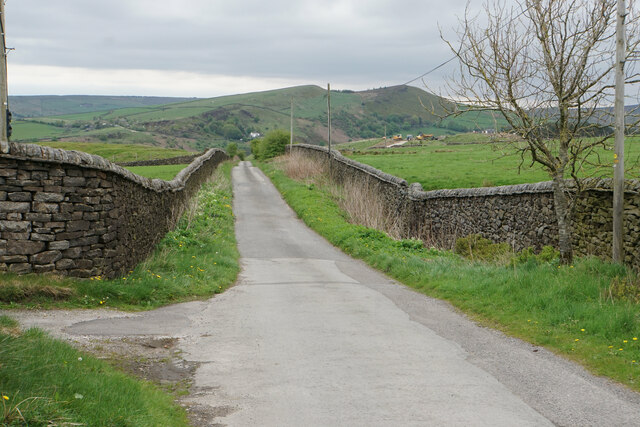
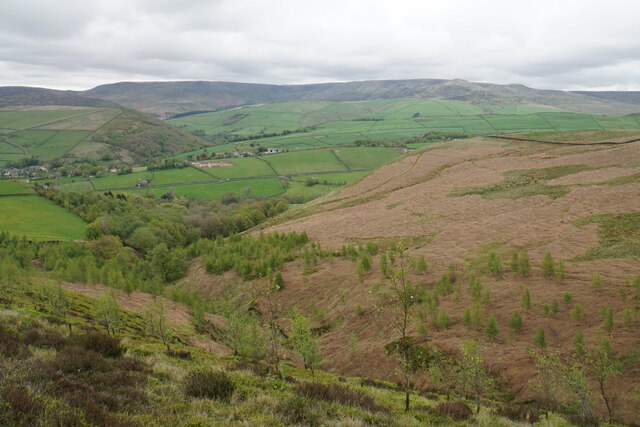
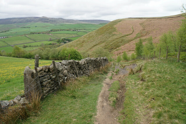
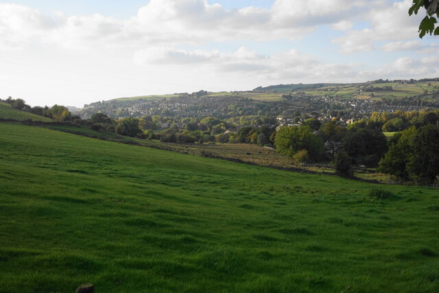
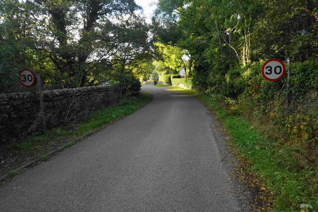
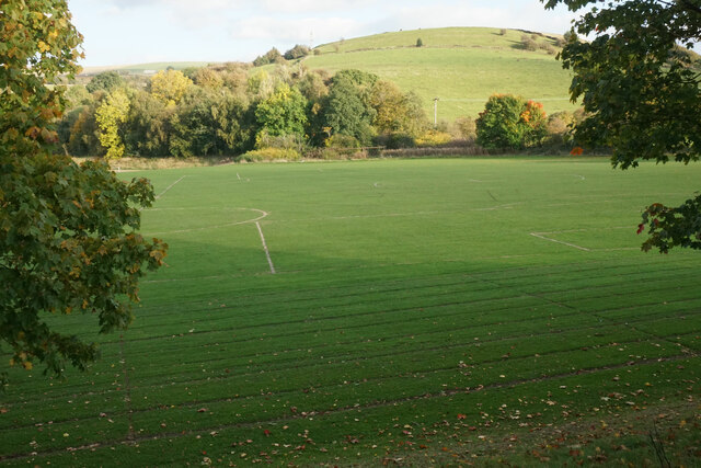
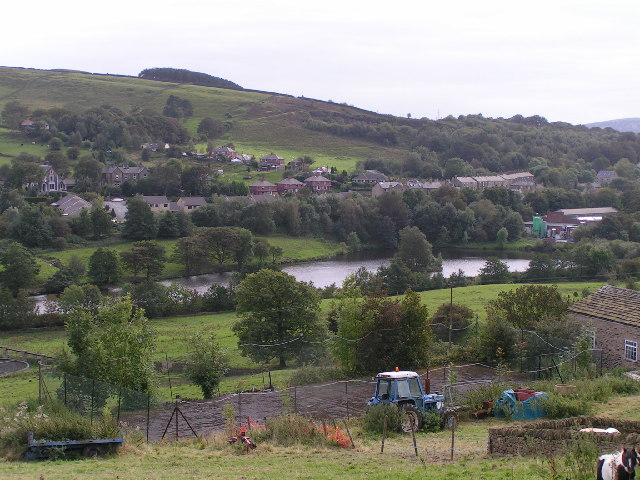
Birch Vale is a small village located in the High Peak district of Derbyshire, England. Situated in the Peak District National Park, Birch Vale is surrounded by stunning natural scenery, including rolling hills, lush forests, and picturesque walking trails. The village is known for its peaceful atmosphere and close-knit community.
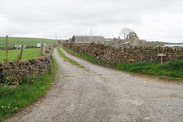
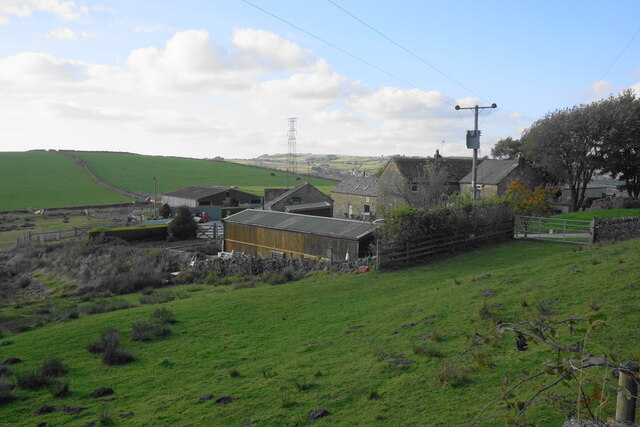
Birch Vale has a rich industrial history, with many of its buildings dating back to the 19th century when the area was a hub for cotton mills and other manufacturing industries. Today, the village is primarily residential, with a mix of traditional stone cottages and more modern housing developments.
Despite its small size, Birch Vale has several amenities for residents and visitors, including a pub, a village hall, and a primary school. The village is also well-connected to nearby towns and cities, with regular bus services and a train station providing easy access to Manchester and Sheffield.
Overall, Birch Vale offers a charming rural retreat for those looking to escape the hustle and bustle of city life and enjoy the beauty of the Peak District countryside.
If you have any feedback on the listing, please let us know in the comments section below.
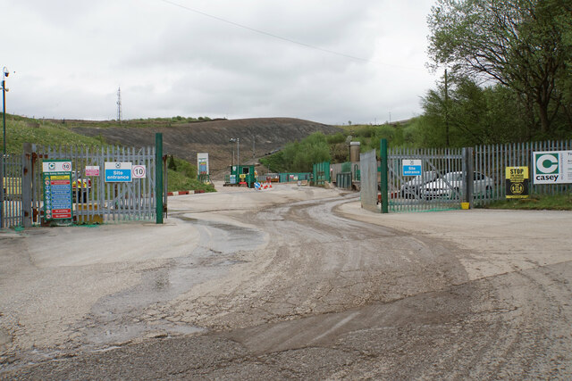
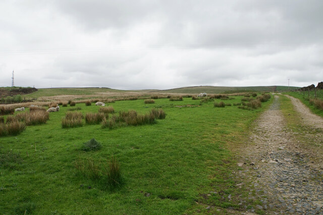
Birch Vale Images
Images are sourced within 2km of 53.37759/-1.970654 or Grid Reference SK0286. Thanks to Geograph Open Source API. All images are credited.


Birch Vale is located at Grid Ref: SK0286 (Lat: 53.37759, Lng: -1.970654)
Administrative County: Derbyshire
District: High Peak
Police Authority: Derbyshire
What 3 Words
///saddens.slides.funnels. Near Hayfield, Derbyshire
Nearby Locations
Related Wikis

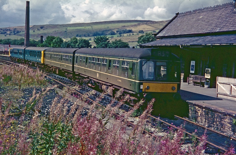
Birch Vale railway station
Birch Vale railway station served the village of Birch Vale, Derbyshire, England, from 1868 to 1970 on the Hayfield branch. == History == The station was...
Birch Vale
Birch Vale is a village in the High Peak district of Derbyshire, just outside the boundary of the Peak District National Park, between New Mills and Hayfield...

Lantern Pike
Lantern Pike is a hill located just outside Hayfield, in Derbyshire, England. The land lies within the Peak District National Park and is owned and maintained...
Hayfield railway station
Hayfield railway station was the terminus of the 3 mi (4.8 km) Hayfield branch from New Mills Central station in Derbyshire, England. == History == Hayfield...
Nearby Amenities
Located within 500m of 53.37759,-1.970654Have you been to Birch Vale?
Leave your review of Birch Vale below (or comments, questions and feedback).