Abbots Bickington

Settlement in Devon Torridge

England

Abbots Bickington

W Sanders & Sons Gulf Garage on the A388
W Sanders & Sons Gulf Garage on the A388 Credit: Roy Hughes

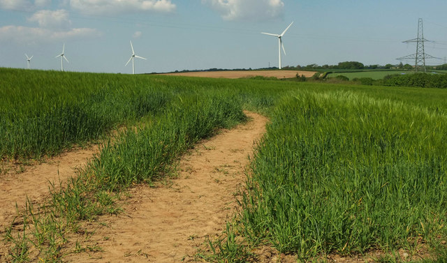
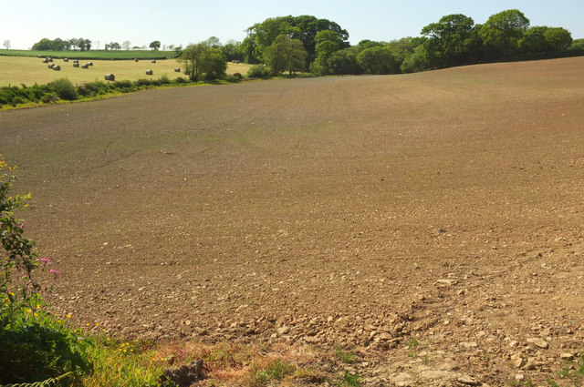
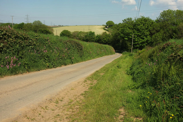
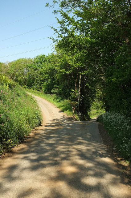
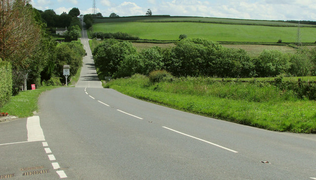
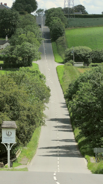
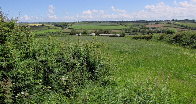
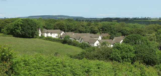
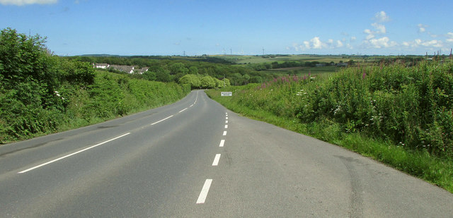
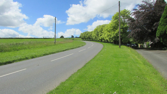
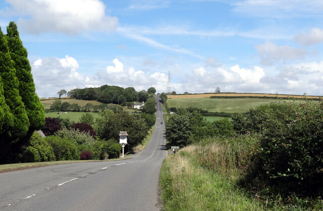
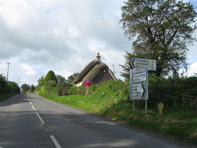
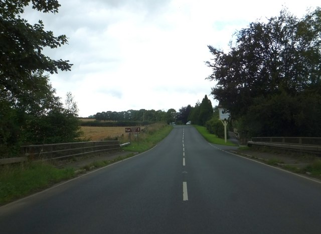
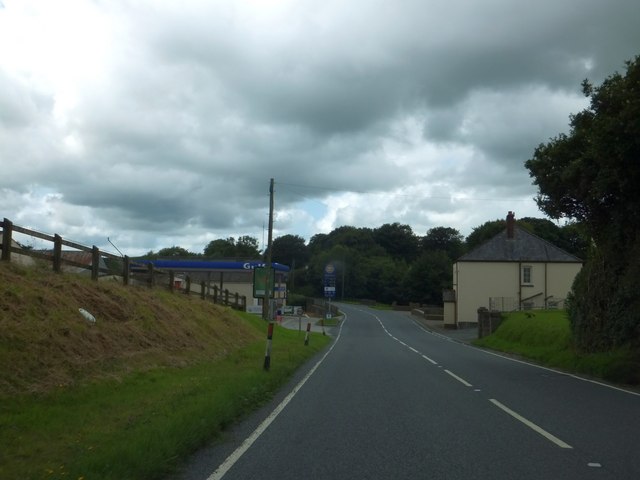
Abbots Bickington is a small village located in the county of Devon, in southwest England. Situated in the heart of the countryside, it is surrounded by rolling hills, lush green fields, and picturesque farmland. The village is part of the Torridge district and is situated about 10 miles north of the town of Holsworthy.

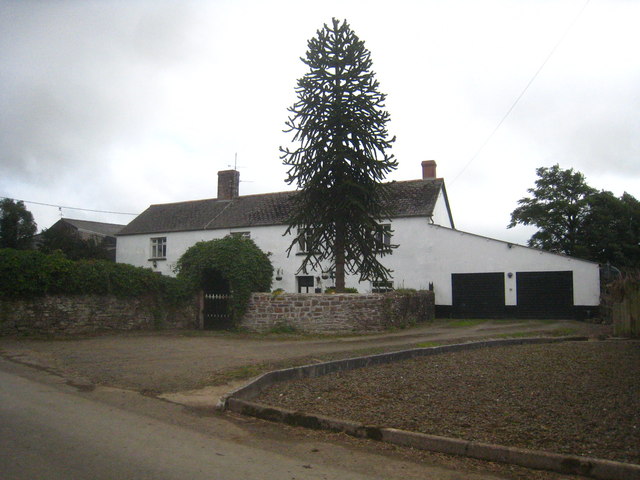
Despite its small size, Abbots Bickington boasts a rich history that can be traced back centuries. The village is named after the nearby abbey of Bickington, which was established in the medieval period. The abbey no longer stands, but remnants of its existence can still be seen in the architecture and layout of the village.

The village is characterized by its quaint and charming atmosphere, with traditional stone cottages and thatched roofs dotting the landscape. The community is close-knit, with a population of around 200 residents.

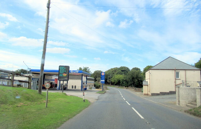
Despite its rural location, Abbots Bickington offers a range of amenities for its residents. These include a local pub, a village hall, and a small primary school. The surrounding countryside provides ample opportunities for outdoor activities such as hiking, cycling, and horseback riding.

Abbots Bickington is a peaceful and idyllic village, perfect for those seeking a quiet and rural lifestyle. Its natural beauty and historical charm make it a popular destination for visitors looking to escape the hustle and bustle of city life.

If you have any feedback on the listing, please let us know in the comments section below.

Abbots Bickington Images

Images are sourced within 2km of 50.897395/-4.299424 or Grid Reference SS3813. Thanks to Geograph Open Source API. All images are credited.

W Sanders & Sons Gulf Garage on the A388
A hedge topping Triangulation Pillar standing beneath Power Lines at Derworthy Looking south-westward from the lane.
A hedge topping Triangulation Pillar standing beneath Power Lines at Derworthy
Looking south-westward from the lane.
Barley near Bulkworthy With wind turbines in <a href="https://www.geograph.org.uk/gridref/SS4015">SS4015</a>; the nearest is on Eastacott Moor.
Barley near Bulkworthy
With wind turbines in SS4015; the nearest is on Eastacott Moor.
Tilled field northeast of Bulkworthy Looking to the left from where <a href="https://www.geograph.org.uk/photo/5803668">SS4014 : Tilled field northeast of Bulkworthy</a> was taken, showing the lower part of the field where it borders a stream and a small wood.
Tilled field northeast of Bulkworthy
Looking to the left from where SS4014 : Tilled field northeast of Bulkworthy was taken, showing the lower part of the field where it borders a stream and a small wood.
Lane from Bulkworthy <a href="https://www.geograph.org.uk/photo/5790627">SS3914 : Barley near Bulkworthy</a> was taken across the lane from here. As the lane drops into the wooded valley of Cleave Lake, it forks. The two branches both lead up to the road between Thorne Moor and Downmoor Cross.
Lane from Bulkworthy
SS3914 : Barley near Bulkworthy was taken across the lane from here. As the lane drops into the wooded valley of Cleave Lake, it forks. The two branches both lead up to the road between Thorne Moor and Downmoor Cross.
Fork in the lane from Bulkworthy The right fork drops quickly to cross Cleave Lake and climb steeply up the far valley side, while the left fork briefly follows the stream through woodland.
Fork in the lane from Bulkworthy
The right fork drops quickly to cross Cleave Lake and climb steeply up the far valley side, while the left fork briefly follows the stream through woodland.
A388 at Woodford Bridge From the entrance to Woodford Bridge Country Club, with the main road swooping down to cross the River Torridge.
A388 at Woodford Bridge
From the entrance to Woodford Bridge Country Club, with the main road swooping down to cross the River Torridge.
A388 at Woodford Bridge A detail of the scene in <a href="https://www.geograph.org.uk/photo/6192625">SS3912 : A388 at Woodford Bridge</a>. The crossroads partway up the hill is across a grid line in <a href="https://www.geograph.org.uk/gridref/SS4012">SS4012</a>.
A388 at Woodford Bridge
A detail of the scene in SS3912 : A388 at Woodford Bridge. The crossroads partway up the hill is across a grid line in SS4012.
West Bridge Farm Or is it Woodland View? Maps differ. This view of it is from a gateway by a lay-by on the A388. Beyond is the Torridge valley.
West Bridge Farm
Or is it Woodland View? Maps differ. This view of it is from a gateway by a lay-by on the A388. Beyond is the Torridge valley.
Woodford Bridge Country Club A holiday accommodation development close to the River Torridge.
Woodford Bridge Country Club
A holiday accommodation development close to the River Torridge.
A388 approaching Woodford Bridge Descending past the lay-by where <a href="https://www.geograph.org.uk/photo/6192704">SS3912 : Woodford Bridge Country Club</a> and <a href="https://www.geograph.org.uk/photo/6192699">SS3912 : West Bridge Farm</a> were taken.
A388 approaching Woodford Bridge
Descending past the lay-by where SS3912 : Woodford Bridge Country Club and SS3912 : West Bridge Farm were taken.
A388 near Woodford Bridge Looking in the opposite direction from where <a href="https://www.geograph.org.uk/photo/6192625">SS3912 : A388 at Woodford Bridge</a> was taken. On the right is a road servicing Meadowside Cottage.
A388 near Woodford Bridge
Looking in the opposite direction from where SS3912 : A388 at Woodford Bridge was taken. On the right is a road servicing Meadowside Cottage.
The A338 approaching Woodford Bridge
A388 southwest , Forestreet
Woodford Bridge over River Torridge
Whitebear Cross, Milton Damerel The main road curves to the right.  A minor road leads ahead to Whitebear, and a footpath leads to the left from the lay-by.
Whitebear Cross, Milton Damerel
The main road curves to the right. A minor road leads ahead to Whitebear, and a footpath leads to the left from the lay-by.
Gulf filling station at Horrellsford, Milton Damerel
The farmhouse at Town Farm Bulkworthy
Show me another place!

Abbots Bickington is located at Grid Ref: SS3813 (Lat: 50.897395, Lng: -4.299424)

Administrative County: Devon

District: Torridge

Police Authority: Devon and Cornwall

What 3 Words

///along.concerned.fortress. Near Holsworthy, Devon

Related Wikis

Abbots Bickington

Abbots Bickington is a village and civil parish in the English county of Devon, located 7.7 mi (12.4 km) north-northeast of Holsworthy and near the River...

Bulkworthy

Bulkworthy is a village and civil parish in the Torridge district of Devon, England, about 9 miles southwest of Great Torrington, and on the River Torridge...

West Putford

West Putford is a small settlement and civil parish in the local government district of Torridge, Devon, England. The parish, which lies about 8.5 miles...

Torridge District

Torridge is a local government district in north-west Devon, England. Its council is based in the town of Bideford. The district also includes the towns...
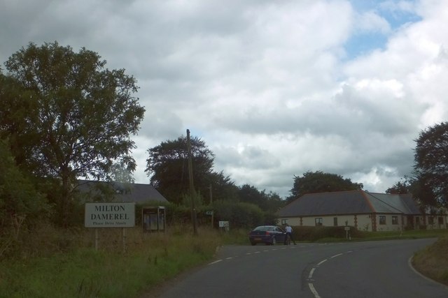
Milton Damerel

Milton Damerel is a village, parish and former manor in north Devon, England. Situated in the political division of Torridge, on the river Waldon, it covers...

Newton St Petrock

Newton St Petrock is an ecclesiastical and civil parish in the Torridge district of Devon in England, occupying approximately 1,500 acres (6.1 km2). The...

Holsworthy Hamlets

Holsworthy Hamlets is a civil parish in the northwest of Devon, England. It forms part of the local government district of Torridge and came into being...

Gnome Reserve

The Gnome Reserve is a garden and tourist attraction in West Putford, near Bradworthy, Devon, England, presented as a pastoral refuge for garden gnomes...

Nearby Amenities

Located within 500m of 50.897395,-4.299424
Abbots Bickington
Place: hamlet
Source: OS_OpenData_StreetView
Lat/Long: 50.8966724/-4.2987553
Power: pole
Source: bing
Lat/Long: 50.8954264/-4.3053921
Power: pole
Source: bing
Transformer: distribution
Lat/Long: 50.8958265/-4.3043594
Power: pole
Source: bing
Lat/Long: 50.8962571/-4.3031833
Power: pole
Source: bing
Transformer: distribution
Lat/Long: 50.8967984/-4.299911
Power: pole
Source: bing
Lat/Long: 50.900197/-4.304979
Power: pole
Source: bing
Lat/Long: 50.8996895/-4.3036647
Power: pole
Source: bing
Lat/Long: 50.898968/-4.3026374
Power: pole
Source: bing
Lat/Long: 50.8984055/-4.3019307
Power: pole
Source: bing
Lat/Long: 50.8980427/-4.3014707
Power: pole
Source: bing
Lat/Long: 50.896806/-4.3018274
Power: pole
Source: bing
Lat/Long: 50.8975385/-4.2999566
Power: pole
Source: bing
Lat/Long: 50.8973051/-4.300544
Power: pole
Source: bing
Lat/Long: 50.898337/-4.2986275
Power: pole
Source: bing
Lat/Long: 50.8988513/-4.2977652
Power: pole
Source: bing
Lat/Long: 50.8996413/-4.297682
Power: pole
Source: bing
Lat/Long: 50.9004414/-4.2976338
Power: pole
Source: bing
Lat/Long: 50.9012314/-4.2975748
The data included in this document is from www.openstreetmap.org. The data is made available under ODbL.

Have you been to Abbots Bickington?

Leave your review of Abbots Bickington below (or comments, questions and feedback).