Gardenclose Wood

Wood, Forest in Devon Torridge

England

Gardenclose Wood

A hedge topping Triangulation Pillar standing beneath Power Lines at Derworthy Looking south-westward from the lane.
A hedge topping Triangulation Pillar standing beneath Power Lines at Derworthy Credit: Peter Wood

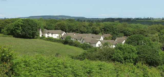
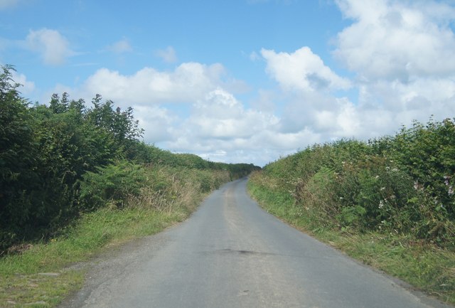
Gardenclose Wood, located in Devon, is a charming and picturesque woodland area that offers a tranquil escape from the hustle and bustle of everyday life. The wood is situated in the southwestern part of England, specifically in the county of Devon, known for its stunning natural landscapes.

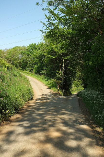
Covering an area of approximately 15 hectares, Gardenclose Wood is home to a diverse range of flora and fauna. The wood boasts an impressive variety of trees, including oak, beech, and ash, which create a dense canopy that provides shade and shelter for the woodland inhabitants. The forest floor is adorned with an array of wildflowers, such as bluebells and primroses, adding bursts of color to the landscape.

Nature enthusiasts will be delighted to discover the abundant wildlife that calls Gardenclose Wood their home. Red squirrels can be spotted scurrying among the trees, while a variety of bird species, including woodpeckers and owls, can be heard and seen throughout the wood. The wood is also a haven for smaller creatures, such as rabbits and foxes.

Visitors to Gardenclose Wood can enjoy the tranquility and serenity of the surroundings while exploring the numerous walking trails that wind their way through the wood. These trails offer breathtaking views of the woodland and provide opportunities to observe the wildlife up close.

Overall, Gardenclose Wood in Devon is a natural treasure, offering a peaceful retreat for nature lovers and a chance to immerse oneself in the beauty of the English countryside.

If you have any feedback on the listing, please let us know in the comments section below.

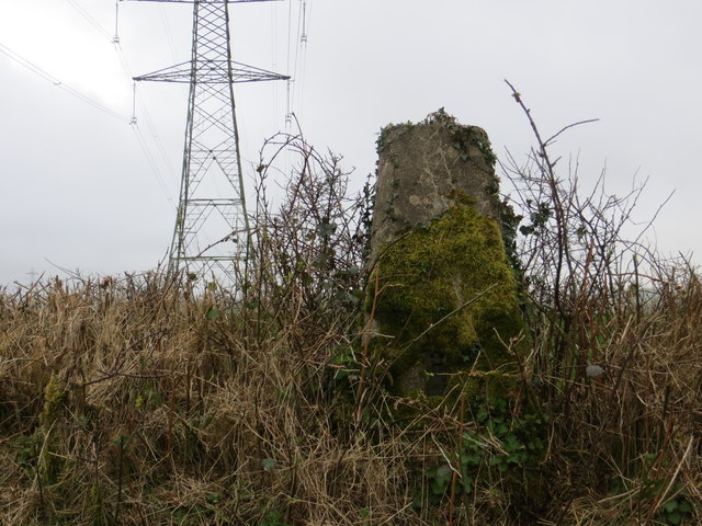
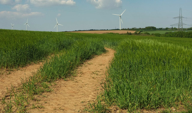
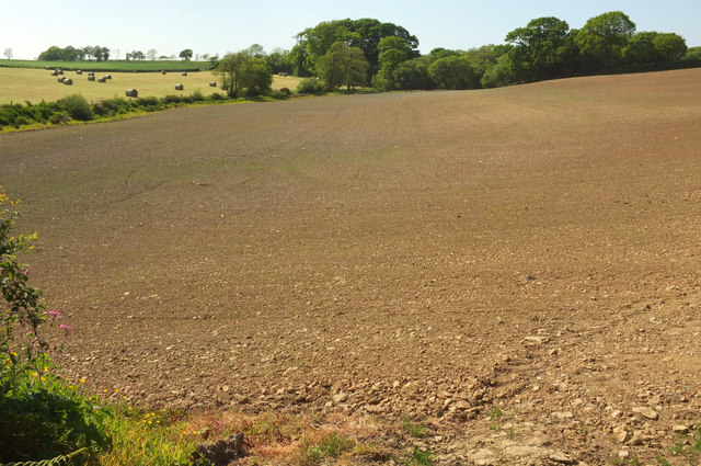
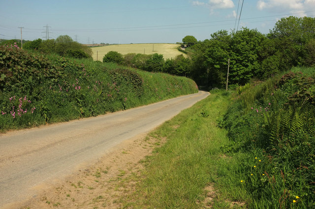
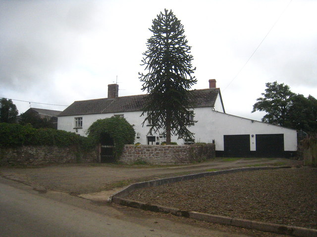
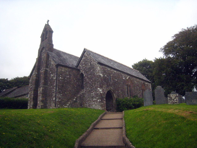
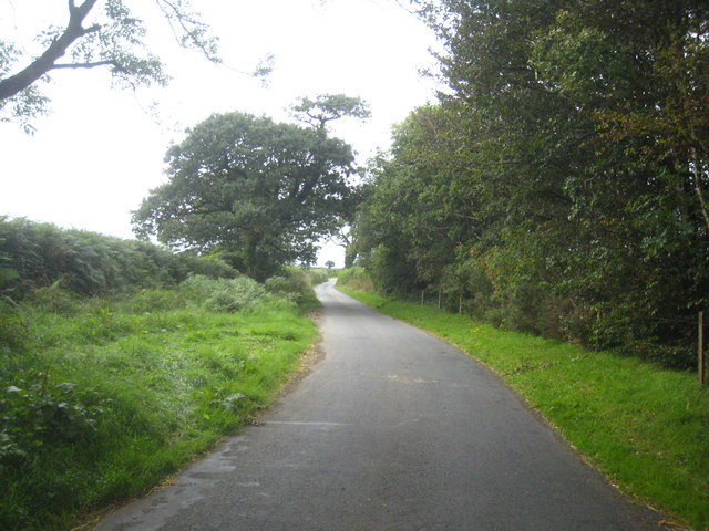
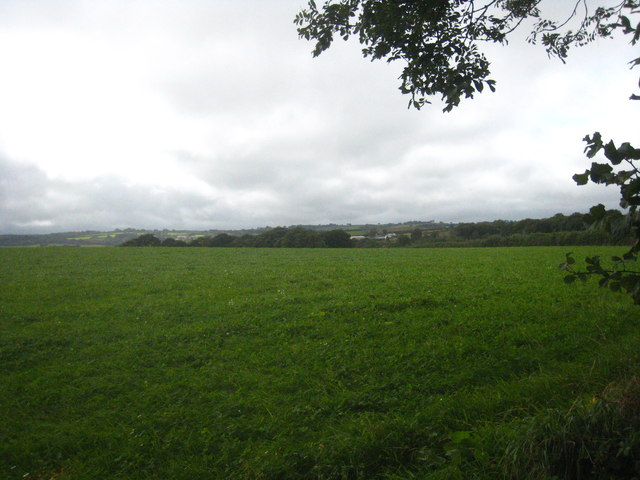
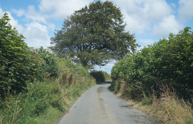
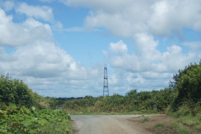
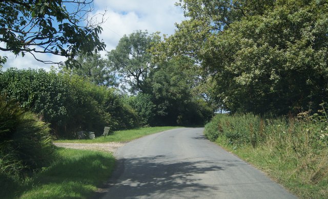
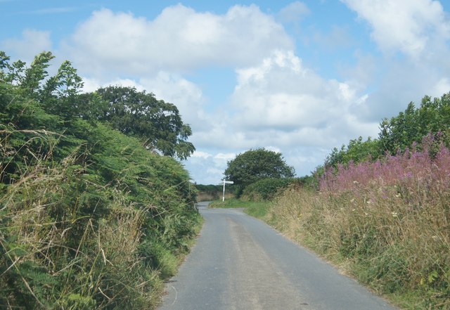
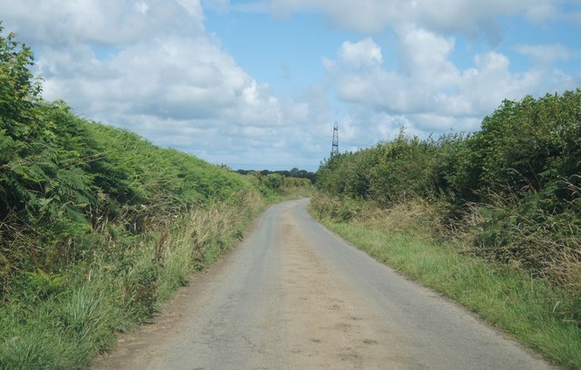
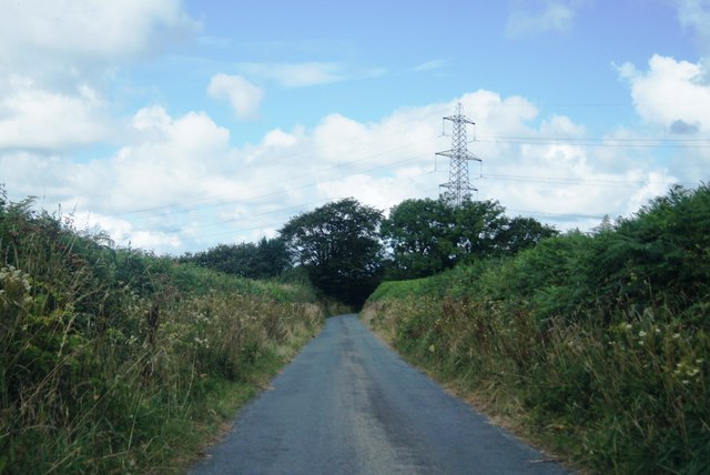
Gardenclose Wood Images

Images are sourced within 2km of 50.901541/-4.3023056 or Grid Reference SS3813. Thanks to Geograph Open Source API. All images are credited.

A hedge topping Triangulation Pillar standing beneath Power Lines at Derworthy Looking south-westward from the lane.
A hedge topping Triangulation Pillar standing beneath Power Lines at Derworthy
Looking south-westward from the lane.
Barley near Bulkworthy With wind turbines in <a href="https://www.geograph.org.uk/gridref/SS4015">SS4015</a>; the nearest is on Eastacott Moor.
Barley near Bulkworthy
With wind turbines in SS4015; the nearest is on Eastacott Moor.
Tilled field northeast of Bulkworthy Looking to the left from where <a href="https://www.geograph.org.uk/photo/5803668">SS4014 : Tilled field northeast of Bulkworthy</a> was taken, showing the lower part of the field where it borders a stream and a small wood.
Tilled field northeast of Bulkworthy
Looking to the left from where SS4014 : Tilled field northeast of Bulkworthy was taken, showing the lower part of the field where it borders a stream and a small wood.
Lane from Bulkworthy <a href="https://www.geograph.org.uk/photo/5790627">SS3914 : Barley near Bulkworthy</a> was taken across the lane from here. As the lane drops into the wooded valley of Cleave Lake, it forks. The two branches both lead up to the road between Thorne Moor and Downmoor Cross.
Lane from Bulkworthy
SS3914 : Barley near Bulkworthy was taken across the lane from here. As the lane drops into the wooded valley of Cleave Lake, it forks. The two branches both lead up to the road between Thorne Moor and Downmoor Cross.
Fork in the lane from Bulkworthy The right fork drops quickly to cross Cleave Lake and climb steeply up the far valley side, while the left fork briefly follows the stream through woodland.
Fork in the lane from Bulkworthy
The right fork drops quickly to cross Cleave Lake and climb steeply up the far valley side, while the left fork briefly follows the stream through woodland.
Woodford Bridge Country Club A holiday accommodation development close to the River Torridge.
Woodford Bridge Country Club
A holiday accommodation development close to the River Torridge.
The farmhouse at Town Farm Bulkworthy
St Michael's Church Bulkworthy Dating from C15 and restored in 1874.  Grade II* Listed <span class="nowrap"><a title="http://list.english-heritage.org.uk/resultsingle.aspx?uid=1104977&searchtype=mapsearch" rel="nofollow ugc noopener" href="http://list.english-heritage.org.uk/resultsingle.aspx?uid=1104977&searchtype=mapsearch">Link</a><img style="margin-left:2px;" alt="External link" title="External link - shift click to open in new window" src="https://s1.geograph.org.uk/img/external.png" width="10" height="10"/></span>
St Michael's Church Bulkworthy
Dating from C15 and restored in 1874. Grade II* Listed LinkExternal link
The road from Bulkworthy to West Putford Near Mambury.
The road from Bulkworthy to West Putford
Near Mambury.
Field near Stowford
Field near Stowford
Narrow lane to Five Lanes Cross Heading north of the A388.
Narrow lane to Five Lanes Cross
Heading north of the A388.
Not really a rural feature Lane heading from The Shop towards Five Lanes Cross.
Not really a rural feature
Lane heading from The Shop towards Five Lanes Cross.
Passing Little Derworthy Farm
Approach to Five Lanes Cross
Rural lane north of Shop The pylon is a somewhat dominant feature in this grid square.
Rural lane north of Shop
The pylon is a somewhat dominant feature in this grid square.
Lane to Five Lanes Cross One of five!
Lane to Five Lanes Cross
One of five!
Lane to Five Lanes Cross
Show me another place!

Gardenclose Wood is located at Grid Ref: SS3813 (Lat: 50.901541, Lng: -4.3023056)

Administrative County: Devon

District: Torridge

Police Authority: Devon and Cornwall

What 3 Words

///confronts.chip.growth. Near Holsworthy, Devon

Related Wikis

Bulkworthy

Bulkworthy is a village and civil parish in the Torridge district of Devon, England, about 9 miles southwest of Great Torrington, and on the River Torridge...

Abbots Bickington

Abbots Bickington is a village and civil parish in the English county of Devon, located 7.7 mi (12.4 km) north-northeast of Holsworthy and near the River...

West Putford

West Putford is a small settlement and civil parish in the local government district of Torridge, Devon, England. The parish, which lies about 8.5 miles...

Torridge District

Torridge is a local government district in north-west Devon, England. Its council is based in the town of Bideford. The district also includes the towns...

Nearby Amenities

Located within 500m of 50.901541,-4.3023056
Power: pole
Source: bing
Lat/Long: 50.9016517/-4.3087757
Power: pole
Source: bing
Lat/Long: 50.9007273/-4.3063724
Power: pole
Source: bing
Lat/Long: 50.9012347/-4.3076652
Power: pole
Source: bing
Lat/Long: 50.900197/-4.304979
Power: pole
Source: bing
Lat/Long: 50.8996895/-4.3036647
Power: pole
Source: bing
Lat/Long: 50.898968/-4.3026374
Power: pole
Source: bing
Lat/Long: 50.8984055/-4.3019307
Power: pole
Source: bing
Lat/Long: 50.8980427/-4.3014707
Power: pole
Source: bing
Lat/Long: 50.8975385/-4.2999566
Power: pole
Source: bing
Lat/Long: 50.8973051/-4.300544
Power: pole
Source: bing
Lat/Long: 50.898337/-4.2986275
Power: pole
Source: bing
Lat/Long: 50.8988513/-4.2977652
Power: pole
Source: bing
Lat/Long: 50.8996413/-4.297682
Power: pole
Source: bing
Lat/Long: 50.9004414/-4.2976338
Power: pole
Source: bing
Lat/Long: 50.9012314/-4.2975748
Power: pole
Source: bing
Lat/Long: 50.9019486/-4.2976914
Power: pole
Source: bing
Lat/Long: 50.9027368/-4.2978349
Power: pole
Source: bing
Lat/Long: 50.9034743/-4.297961
Power: pole
Source: bing
Lat/Long: 50.9042397/-4.2980991
Power: pole
Source: bing
Lat/Long: 50.9051032/-4.298252
The data included in this document is from www.openstreetmap.org. The data is made available under ODbL.

Have you been to Gardenclose Wood?

Leave your review of Gardenclose Wood below (or comments, questions and feedback).