Penfilia
Settlement in Glamorgan
Wales
Penfilia

Penfilia is a small village located in the Glamorgan region of South Wales, United Kingdom. Situated on the western edge of the Brecon Beacons National Park, the village offers stunning natural beauty and an idyllic countryside setting.
With a population of around 500 residents, Penfilia is a close-knit community that thrives on its rich history and Welsh heritage. The village is known for its traditional stone cottages and picturesque landscapes, making it a popular destination for tourists and outdoor enthusiasts.
Surrounded by rolling hills and meandering rivers, Penfilia offers a range of outdoor activities. Hiking and mountain biking are particularly popular, with numerous trails and paths to explore in the nearby national park. The village is also a great base for exploring the Brecon Beacons, with its towering peaks and breathtaking views.
Despite its small size, Penfilia boasts a few local amenities, including a village hall, a small convenience store, and a charming pub that serves traditional Welsh cuisine. The pub often serves as a gathering place for locals and visitors alike, fostering a sense of community and camaraderie.
Additionally, Penfilia is known for its annual village fair, which showcases local crafts, produce, and entertainment. This event is eagerly anticipated by both residents and visitors, providing a vibrant and lively atmosphere.
Overall, Penfilia offers a peaceful and scenic retreat in the heart of Wales, with its natural beauty, friendly community, and rich cultural heritage attracting visitors from far and wide.
If you have any feedback on the listing, please let us know in the comments section below.
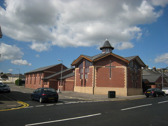
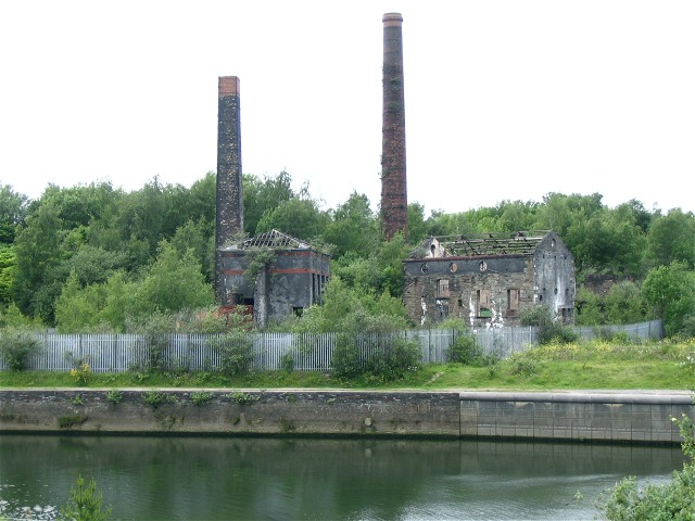
Penfilia Images
Images are sourced within 2km of 51.647597/-3.946175 or Grid Reference SS6596. Thanks to Geograph Open Source API. All images are credited.


Penfilia is located at Grid Ref: SS6596 (Lat: 51.647597, Lng: -3.946175)
Unitary Authority: Swansea
Police Authority: South Wales
What 3 Words
///earth.fame.bunch. Near Landore, Swansea
Related Wikis

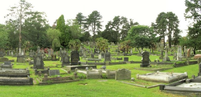
Cwmgelli Cemetery
Cwmgelli Cemetery, also known as Cwmgelly Cemetery, is a cemetery located in the Treboeth area of Swansea, Wales. The cemetery is listed on the Cadw/ICOMOS...

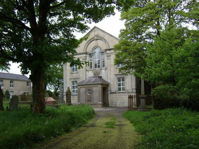
New Siloh Congregational Chapel
The New Siloh Congregational Chapel, also known as the Siloh Welsh Independent Chapel or simply the New Siloh Chapel, is a Grade II* listed chapel building...

Landore (electoral ward)
Landore (Welsh: Glandŵr) is the name of an electoral ward in the City and County of Swansea, Wales, UK. == Description == Landore is bounded by the wards...

Treboeth
Treboeth is a suburb and historical village in the Mynydd-Bach ward of Swansea, Wales. Gwyrosydd Primary School and Welsh language primary school Ysgol...
Nearby Amenities
Located within 500m of 51.647597,-3.946175Have you been to Penfilia?
Leave your review of Penfilia below (or comments, questions and feedback).