Paulton
Settlement in Somerset
England
Paulton
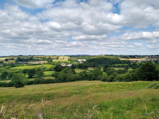
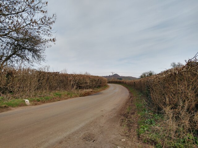
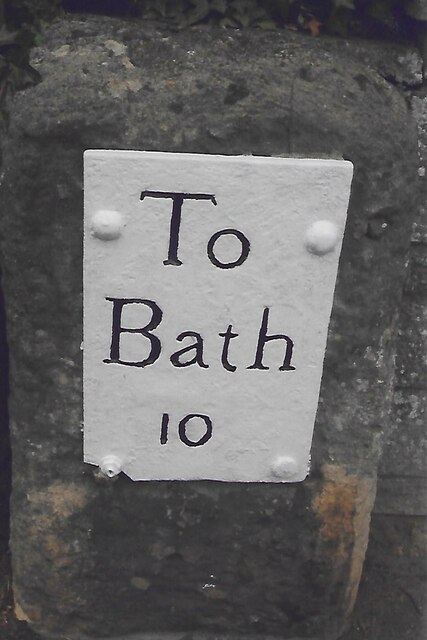
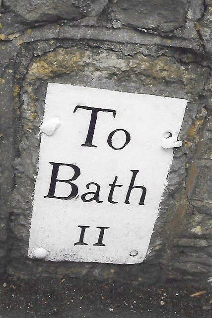
Paulton is a small village located in the county of Somerset, England. Situated about 10 miles southwest of Bath and 11 miles west of Frome, it is nestled in the beautiful countryside of the Chew Valley. Paulton has a population of around 5,000 residents and falls within the Bath and North East Somerset unitary authority.
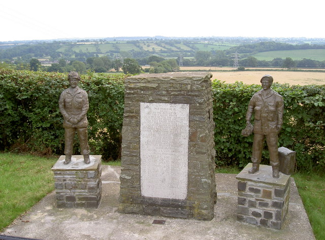
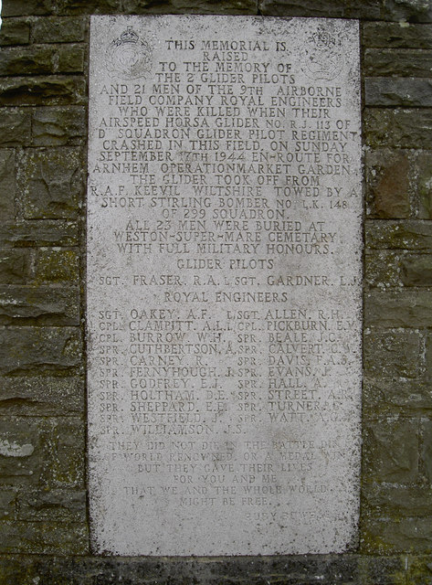
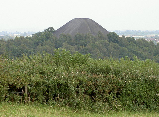
The village is known for its rich history, dating back to the Roman times, with evidence of a Roman villa found in the area. Paulton also played a significant role during the Industrial Revolution, as coal mining became a major industry in the 18th and 19th centuries. The remnants of the old coal mines can still be seen today.
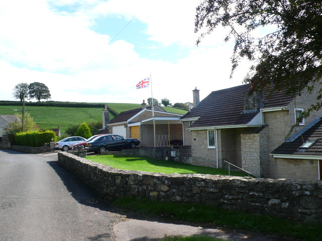
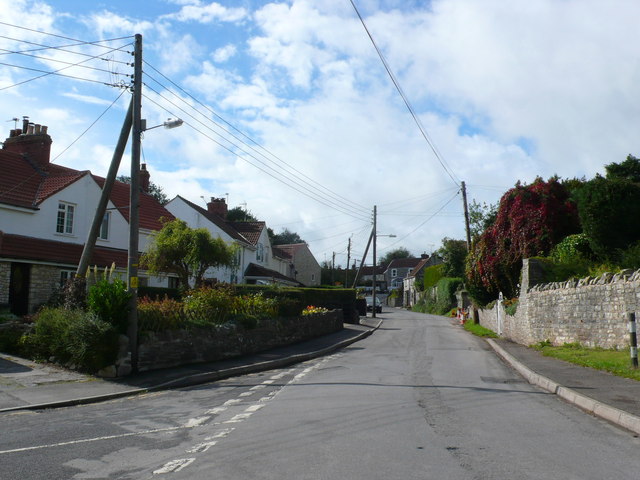
In terms of amenities, Paulton offers a range of facilities to cater to the needs of its residents. These include a primary school, a library, several parks and green spaces, a community center, and a variety of shops, pubs, and restaurants. The village is well-connected by public transportation, with regular bus services to neighboring towns and cities.
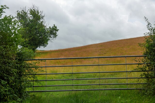
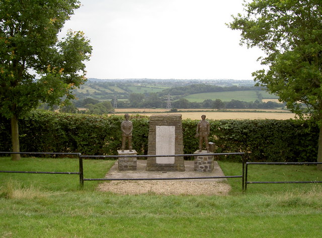
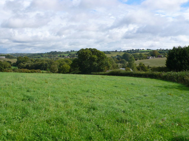
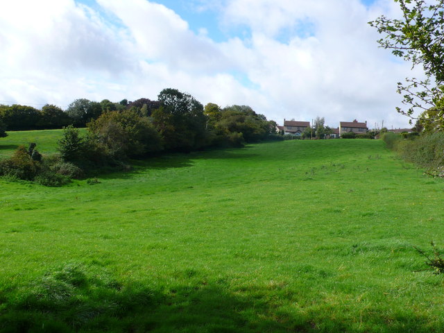
Surrounded by picturesque countryside, Paulton provides ample opportunities for outdoor activities such as walking, hiking, and cycling. The nearby Mendip Hills and Chew Valley Lake offer stunning natural landscapes and are popular destinations for nature enthusiasts.
Overall, Paulton is a charming village that combines a rich historical heritage with a peaceful rural setting, making it an attractive place to live or visit in Somerset.
If you have any feedback on the listing, please let us know in the comments section below.
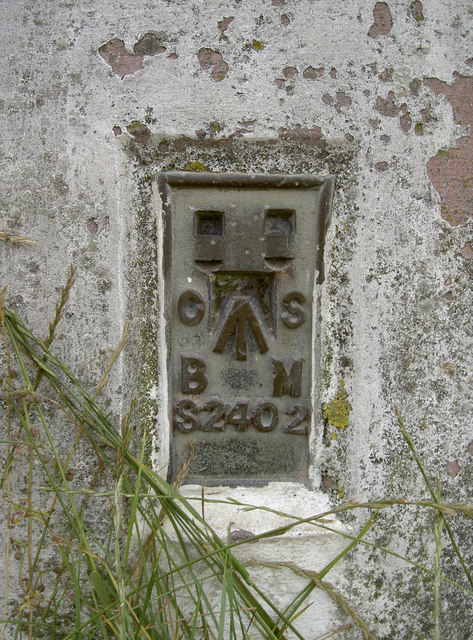
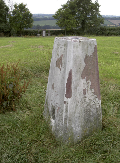
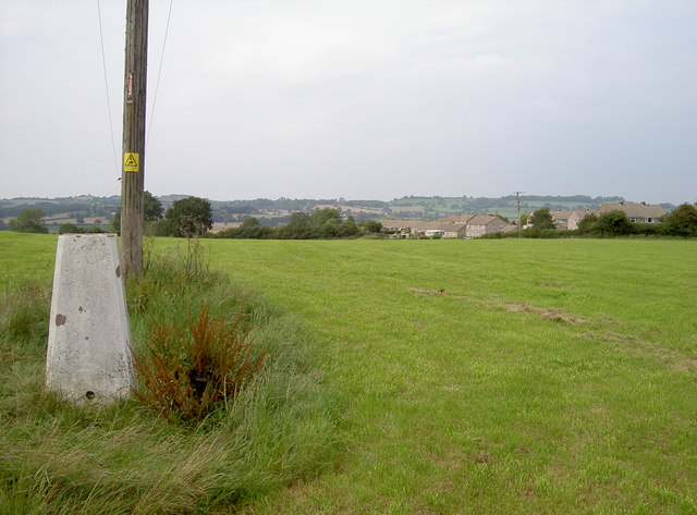
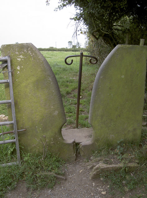
Paulton Images
Images are sourced within 2km of 51.307466/-2.502513 or Grid Reference ST6556. Thanks to Geograph Open Source API. All images are credited.
Paulton is located at Grid Ref: ST6556 (Lat: 51.307466, Lng: -2.502513)
Unitary Authority: Bath and North East Somerset
Police Authority: Avon and Somerset
What 3 Words
///unfit.beanbag.throat. Near Paulton, Somerset
Nearby Locations
Related Wikis

Paulton
Paulton (English: ) is a large village and civil parish, with a population of 5,302, located to the north of the Mendip Hills, very close to Norton Radstock...
Church of the Holy Trinity, Paulton
The Anglican Church of the Holy Trinity in Paulton, Somerset, England, was founded in 1235 and is a Grade II* listed building. It was built on the site...

Paulton Rovers F.C.
Paulton Rovers Football Club is an English football club based on Winterfield Road in the growing village of Paulton near Bristol. They were established...
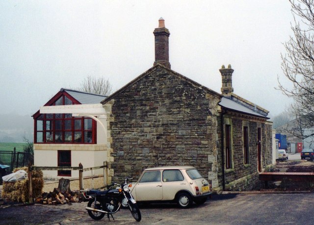
Paulton Halt railway station
Paulton Halt railway station was on the Camerton branch of the Great Western Railway in Somerset, England. It was in use from 1914 until 1925, however...
Nearby Amenities
Located within 500m of 51.307466,-2.502513Have you been to Paulton?
Leave your review of Paulton below (or comments, questions and feedback).