Paulerspury

Settlement in Northamptonshire

England

Paulerspury

Layby on Watling Street, Heathencote I always stop here for a picture.

<a title="https://www.geograph.org.uk/photo/6844860" href="https://www.geograph.org.uk/photo/6844860">Link</a>
<a title="https://www.geograph.org.uk/photo/6353602" href="https://www.geograph.org.uk/photo/6353602">Link</a>
Layby on Watling Street, Heathencote Credit: David Howard

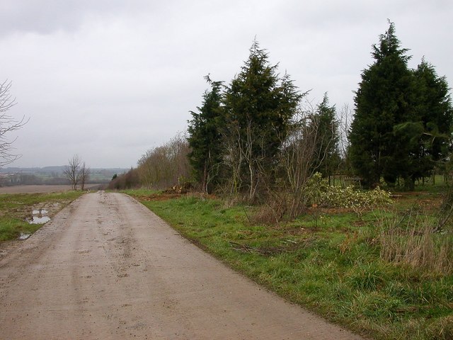
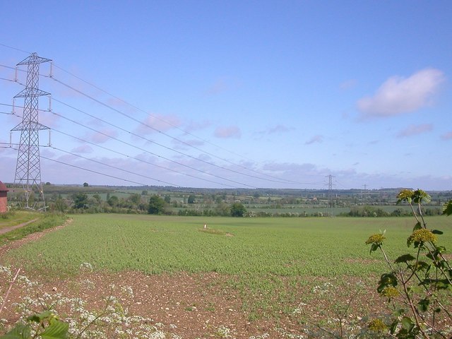
Paulerspury is a small village located in Northamptonshire, England. It is situated approximately 6 miles south of Towcester and 9 miles north of Milton Keynes. The village is known for its picturesque countryside surroundings, with rolling green fields and charming stone cottages.

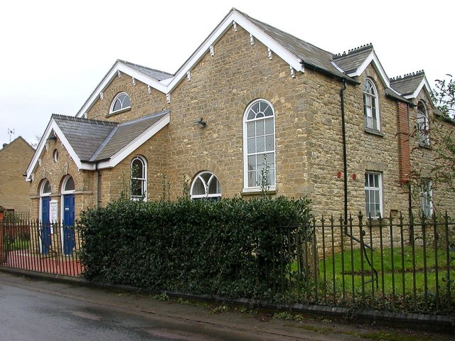
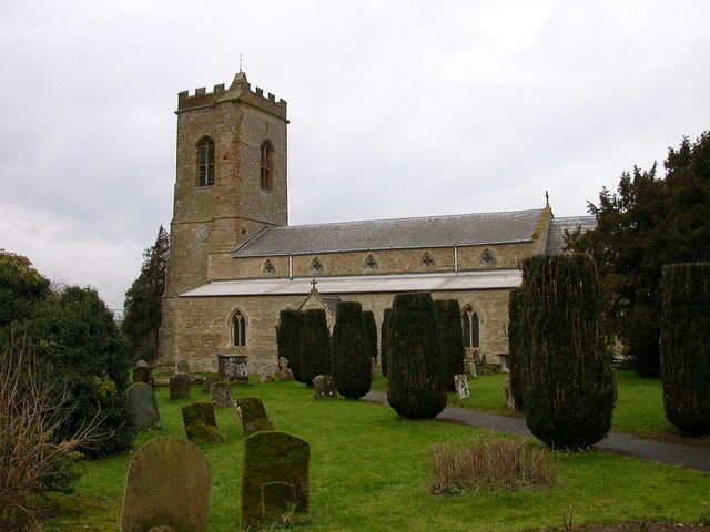
Paulerspury has a rich history dating back to the medieval period, with several historic buildings still standing in the village today. The local parish church, St. James the Great, is a Grade I listed building that dates back to the 12th century and is a popular attraction for visitors interested in the village's heritage.

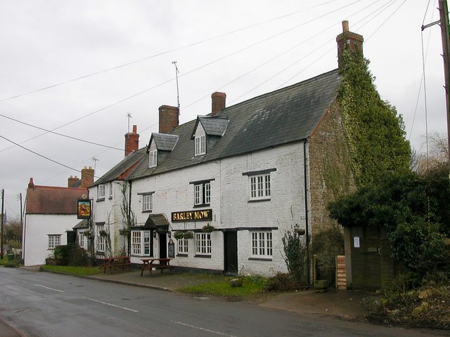
The village has a strong sense of community, with a village hall that hosts a variety of events and activities for residents. There is also a primary school, post office, and a few shops and pubs serving the local population.

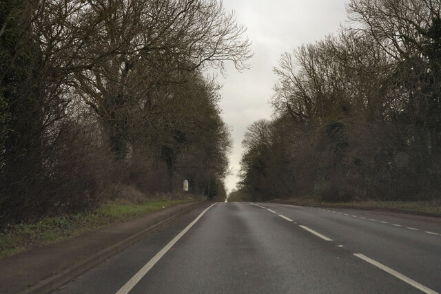
Paulerspury is surrounded by beautiful countryside, making it a popular destination for outdoor enthusiasts. The village is located near several walking and cycling routes, providing opportunities for residents and visitors to explore the stunning Northamptonshire countryside. Overall, Paulerspury is a charming village with a rich history and a strong sense of community.

If you have any feedback on the listing, please let us know in the comments section below.
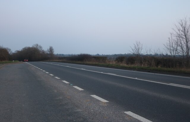
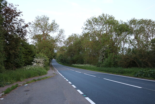
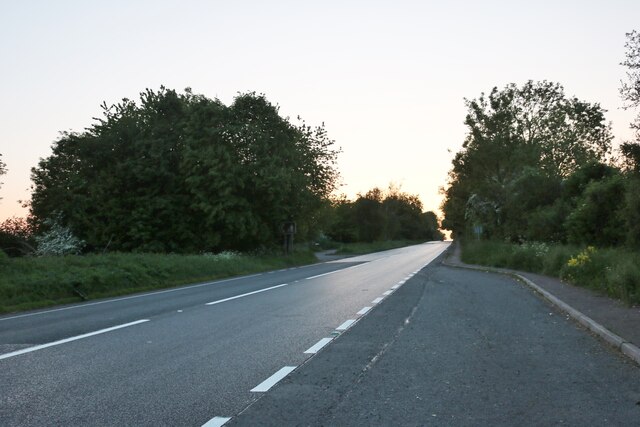
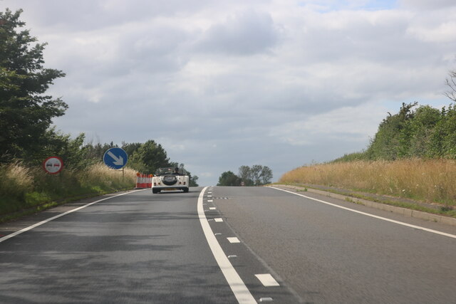
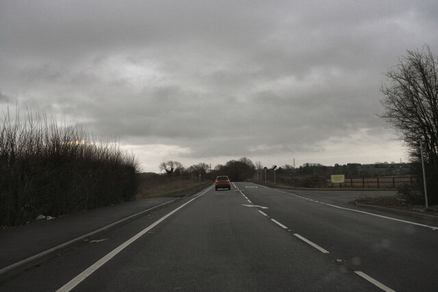
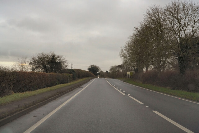
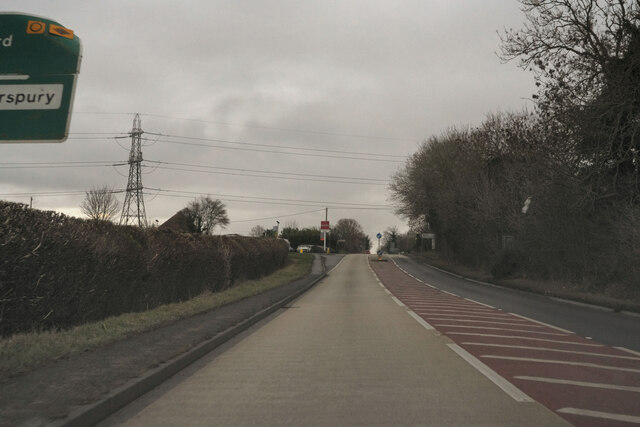
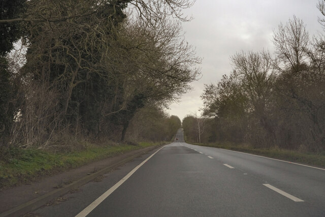
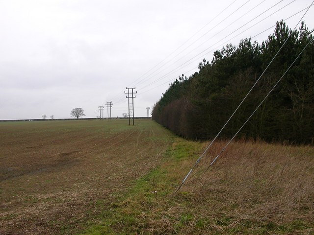
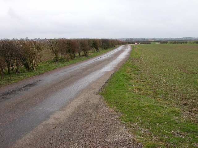
Paulerspury Images

Images are sourced within 2km of 52.102903/-0.948206 or Grid Reference SP7245. Thanks to Geograph Open Source API. All images are credited.

Layby on Watling Street, Heathencote I always stop here for a picture.

<a title="https://www.geograph.org.uk/photo/6844860" href="https://www.geograph.org.uk/photo/6844860">Link</a>
<a title="https://www.geograph.org.uk/photo/6353602" href="https://www.geograph.org.uk/photo/6353602">Link</a>
Layby on Watling Street, Heathencote
I always stop here for a picture. Link Link
The A5, Paulerspury Spot the difference <a title="https://www.geograph.org.uk/photo/6384610" href="https://www.geograph.org.uk/photo/6384610">Link</a>
The A5, Paulerspury
Spot the difference Link
Layby on The A5, Paulerspury
Morgan on Watling Street, Heathencote Unlike other brands the Morgan design has barely changed in decades, which its trademark. After 110 years the company was sold to an Italian conglomerate in 2019 with a small family interest remaining to maintain the brand.
Morgan on Watling Street, Heathencote
Unlike other brands the Morgan design has barely changed in decades, which its trademark. After 110 years the company was sold to an Italian conglomerate in 2019 with a small family interest remaining to maintain the brand.
A dull morning on the A5 Returning to Milton Keynes after the Christmas Day park run.
A dull morning on the A5
Returning to Milton Keynes after the Christmas Day park run.
On the A5 Returning to Milton Keynes after the Christmas Day park run.
On the A5
Returning to Milton Keynes after the Christmas Day park run.
Passing the sign to Paulerspury Returning to Milton Keynes after the Christmas Day park run.
Passing the sign to Paulerspury
Returning to Milton Keynes after the Christmas Day park run.
The A5 Returning to Milton Keynes after the Christmas Day park run.
The A5
Returning to Milton Keynes after the Christmas Day park run.
The A5 Watling Street Returning to Milton Keynes after the Christmas Day park run.
The A5 Watling Street
Returning to Milton Keynes after the Christmas Day park run.
Pury Hill Road at the side of Pury Hill Business Centre which leads to Pury Hill Farm.
Pury Hill
Road at the side of Pury Hill Business Centre which leads to Pury Hill Farm.
Paulerspury Paulerspury Chapel which is the local United Reformed Church.
Paulerspury
Paulerspury Chapel which is the local United Reformed Church.
Paulerspury The Barley Mow Public House, the only pub in the Village.
Paulerspury
The Barley Mow Public House, the only pub in the Village.
Paulerspury The Church of Saint James The Great.
Paulerspury
The Church of Saint James The Great.
Paulerspury Farmland off the Road to Kirby Farm
Paulerspury
Farmland off the Road to Kirby Farm
Paulerspury The road leading to Kirby Farm.
Paulerspury
The road leading to Kirby Farm.
Pury End The Entrance to the Stone Quarry.
Pury End
The Entrance to the Stone Quarry.
Pury End Waterlogged field looking towards Fox Covert.
Pury End
Waterlogged field looking towards Fox Covert.
Paulerspury Pylons near Ashton Farm.
Paulerspury
Pylons near Ashton Farm.
Show me another place!

Paulerspury is located at Grid Ref: SP7245 (Lat: 52.102903, Lng: -0.948206)

Unitary Authority: West Northamptonshire

Police Authority: Northamptonshire

What 3 Words

///whistle.crackled.agree. Near Potterspury, Northamptonshire

Nearby Locations

Plumpton End Paulerspury

Related Wikis

Paulerspury

Paulerspury is a civil parish and small village in South Northamptonshire, England. It is approximately 3 miles (5 km) south of Towcester and 8 miles...

Pury End

Pury End is a hamlet of approximately 100 houses in the civil parish of Paulerspury, near Towcester in West Northamptonshire, England. The Grafton Way...

Alderton, Northamptonshire

Alderton is a small English village and civil parish about 9 miles (14 km) south of Northampton, and 10 miles (16 km) north of Milton Keynes, along a road...

Whittlewood Forest

Whittlewood Forest is a former medieval hunting forest east of Silverstone in Northamptonshire in England. It is managed by the Forestry England. There...

Nearby Amenities

Located within 500m of 52.102903,-0.948206
Post Box
Brand: Royal Mail
Brand Wikidata: Q638098
Brand Wikipedia: en:Royal Mail
Operator: Royal Mail
Operator Wikidata: Q638098
Post Box Type: wall
Ref: NN12 367
Royal Cypher: EIIR
Royal Cypher Wikidata: Q33102113
Lat/Long: 52.1024497/-0.9553047
Bus Stop
C of E School (opp)
Naptan AtcoCode: 300000276SC
Naptan CommonName: C of E School
Naptan Indicator: opp
Naptan Landmark: C of E School
Naptan NaptanCode: nthapmwd
Naptan Street: High Street
Public Transport: platform
Lat/Long: 52.1035694/-0.9519288
Vine House Hotel & Restaurant
Addr City: Towcester
Addr Country: GB
Addr Housenumber: 100-102
Addr Postcode: NN12 7NA
Addr Street: High Street
Addr Village: Paulerspury
Tourism: hotel
Lat/Long: 52.1037066/-0.952144
Barrier: bollard
Note: bollards blocking entrance
Lat/Long: 52.1030176/-0.9536239
Public Bookcase
Booth: K6
Colour: red
Disused Amenity: telephone
Man Made: telephone_box
Public Bookcase Type: phone_box
Lat/Long: 52.1026871/-0.954803
Bus Stop
C of E School (o/s)
Naptan AtcoCode: 300000276SL
Naptan CommonName: C of E School
Naptan Indicator: o/s
Naptan Landmark: C of E School
Naptan NaptanCode: nthapmwg
Naptan Street: High Street
Public Transport: platform
Lat/Long: 52.1036806/-0.9510226
Power: pole
Lat/Long: 52.1023925/-0.9421061
Power: pole
Lat/Long: 52.1024917/-0.9428789
Turning Circle
Lat/Long: 52.1029231/-0.9420136
Post Box
Brand: Royal Mail
Brand Wikidata: Q638098
Brand Wikipedia: en:Royal Mail
Operator: Royal Mail
Operator Wikidata: Q638098
Post Box Type: pillar
Ref: NN12 30D
Royal Cypher: EIIR
Royal Cypher Wikidata: Q33102113
Lat/Long: 52.1038064/-0.944586
Sir Henry Royce Memorial Foundation
Addr City: Towcester
Addr Country: GB
Addr Housename: Hunt House
Addr Postcode: NN12 7NA
Addr Street: High Street
Addr Village: Paulerspury
Fhrs Authority: West Northamptonshire
Fhrs Id: 1540865
Fhrs Local Authority Id: FR/000000968
Office: foundation
Lat/Long: 52.1035068/-0.9493786
Pury Play Club
Addr City: Towcester
Addr Country: GB
Addr Housename: Paulerspury Primary School
Addr Postcode: NN12 7NA
Addr Street: High Street
Addr Village: Paulerspury
Club: student
Fhrs Authority: West Northamptonshire
Fhrs Id: 1541184
Fhrs Local Authority Id: FR/000002314
Lat/Long: 52.1037605/-0.9512267
Kindergarten
Paulerspury Pre School
Addr City: Towcester
Addr Country: GB
Addr Housename: Village Hall
Addr Postcode: NN12 7NA
Addr Street: High Street
Addr Village: Paulerspury
Fhrs Authority: West Northamptonshire
Fhrs Id: 1540826
Fhrs Local Authority Id: FR/000000774
Lat/Long: 52.1026929/-0.9534931
Plumpton End
Place: neighbourhood
Lat/Long: 52.1018668/-0.9434521
Tew's End
Place: neighbourhood
Lat/Long: 52.1063479/-0.94872
Power: pole
Lat/Long: 52.1002326/-0.9534084
Power: pole
Lat/Long: 52.1004598/-0.9522904
Power: pole
Lat/Long: 52.1008544/-0.9504528
Power: pole
Lat/Long: 52.1010517/-0.949534
Power: pole
Lat/Long: 52.1014937/-0.947424
Power: pole
Lat/Long: 52.1017185/-0.9462816
Power: pole
Lat/Long: 52.1012657/-0.9485126
Power: pole
Lat/Long: 52.1027046/-0.9413918
Direction: 145
Generator Method: photovoltaic
Generator Output Electricity: yes
Generator Source: solar
Generator Type: solar_photovoltaic_panel
Location: roof
Power: generator
Lat/Long: 52.1042247/-0.9414163
Direction: SW
Generator Method: photovoltaic
Generator Output Electricity: yes
Generator Solar Modules: 14
Generator Source: solar
Generator Type: solar_photovoltaic_panel
Location: roof
Power: generator
Lat/Long: 52.1041563/-0.9417401
Direction: 165
Generator Method: photovoltaic
Generator Output Electricity: yes
Generator Solar Modules: 12
Generator Source: solar
Generator Type: solar_photovoltaic_panel
Location: roof
Power: generator
Lat/Long: 52.1020736/-0.9499497
Direction: 175
Generator Method: photovoltaic
Generator Output Electricity: yes
Generator Solar Modules: 12
Generator Source: solar
Generator Type: solar_photovoltaic_panel
Location: roof
Power: generator
Lat/Long: 52.102946/-0.9506032
Direction: S
Generator Method: photovoltaic
Generator Output Electricity: yes
Generator Solar Modules: 16
Generator Source: solar
Generator Type: solar_photovoltaic_panel
Location: roof
Power: generator
Lat/Long: 52.103994/-0.9498817
Direction: SSW
Generator Method: photovoltaic
Generator Output Electricity: yes
Generator Solar Modules: 7
Generator Source: solar
Generator Type: solar_photovoltaic_panel
Location: roof
Power: generator
Lat/Long: 52.1017423/-0.9529116
Direction: ESE
Generator Method: photovoltaic
Generator Output Electricity: yes
Generator Solar Modules: 9
Generator Source: solar
Generator Type: solar_photovoltaic_panel
Location: roof
Power: generator
Lat/Long: 52.1017182/-0.9529759
Direction: SSW
Generator Method: photovoltaic
Generator Output Electricity: yes
Generator Solar Modules: 2
Generator Source: solar
Generator Type: solar_photovoltaic_panel
Location: roof
Power: generator
Lat/Long: 52.101677/-0.9548488
Direction: SSW
Generator Method: photovoltaic
Generator Output Electricity: yes
Generator Solar Modules: 2
Generator Source: solar
Generator Type: solar_photovoltaic_panel
Location: roof
Power: generator
Lat/Long: 52.101815/-0.954771
Public Bookcase
Booth: K6
Colour: red
Disused Amenity: telephone
Man Made: telephone_box
Old Phone: +44 1327 811224
Public Bookcase Type: phone_box
Lat/Long: 52.103802/-0.9446434
Man Made: village_sign
Lat/Long: 52.1038231/-0.9447119
Place Of Worship
Paulersbury Chapel
Denomination: united_reformed
Religion: christian
Lat/Long: 52.1035068/-0.9461385
Bus Stop
Grays Close (adj)
Bench: yes
Naptan AtcoCode: 300000276G
Naptan CommonName: Grays Close
Naptan Indicator: adj
Naptan Landmark: Grays Close
Naptan NaptanCode: nthamwmt
Naptan Street: Grays Lane
Public Transport: platform
Shelter: yes
Lat/Long: 52.1045101/-0.941733
Bus Stop
Grays Close (opp)
Bin: yes
Naptan AtcoCode: 300000276GR
Naptan CommonName: Grays Close
Naptan Indicator: opp
Naptan Landmark: Grays Close
Naptan NaptanCode: nthamwpa
Naptan Street: Grays Lane
Public Transport: platform
Lat/Long: 52.1045917/-0.9414674
Defibrillator
Defibrillator Location: next to window
Emergency: defibrillator
Ref GB The Circuit: ED5B4C0B-F05A-42D0-B2B3-1F0C610852D3
Lat/Long: 52.1037226/-0.9517054
The data included in this document is from www.openstreetmap.org. The data is made available under ODbL.

Have you been to Paulerspury?

Leave your review of Paulerspury below (or comments, questions and feedback).