Plumpton End

Settlement in Northamptonshire

England

Plumpton End

Layby on Watling Street, Heathencote I always stop here for a picture.

<a title="https://www.geograph.org.uk/photo/6844860" href="https://www.geograph.org.uk/photo/6844860">Link</a>
<a title="https://www.geograph.org.uk/photo/6353602" href="https://www.geograph.org.uk/photo/6353602">Link</a>
Layby on Watling Street, Heathencote Credit: David Howard

Plumpton End is a small village located in the county of Northamptonshire, England. Situated approximately 6 miles northeast of the town of Northampton, Plumpton End is surrounded by picturesque countryside and offers a tranquil and idyllic setting.

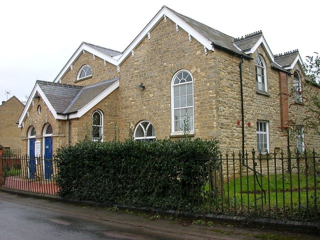
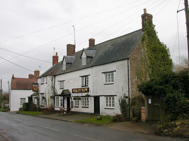
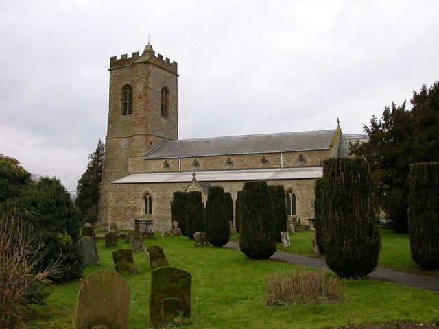
The village is known for its charming character, with many traditional stone cottages and historic buildings lining its streets. The local community is close-knit and friendly, creating a welcoming atmosphere for residents and visitors alike.

Despite its small size, Plumpton End boasts a range of amenities to cater to the needs of its population. These include a local pub, a village hall, and a primary school, providing essential services and spaces for social gatherings. The village also has a cricket ground and a playground, offering recreational opportunities for both children and adults.

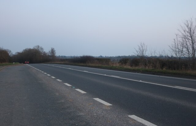
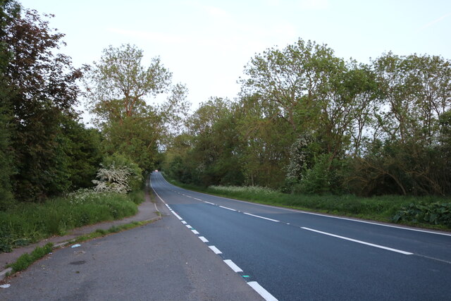
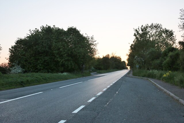
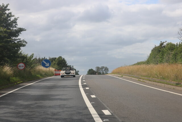
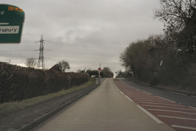
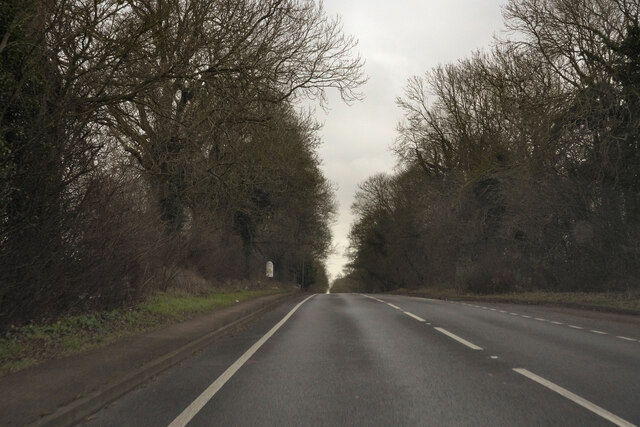
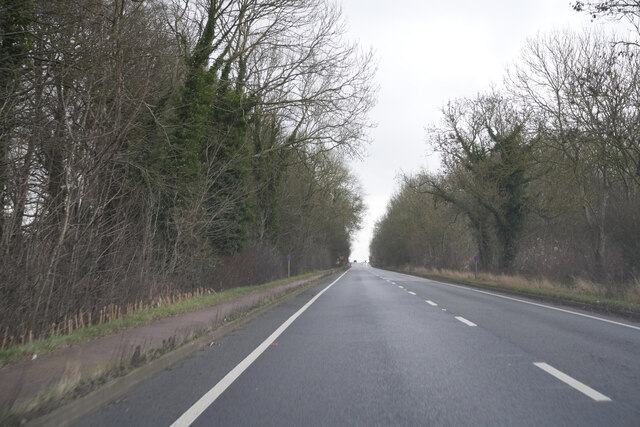
Plumpton End is well-connected to other parts of Northamptonshire, with good transport links to nearby towns and cities. The village is conveniently located near major roads, including the A508 and the A43, allowing for easy access to the surrounding areas.

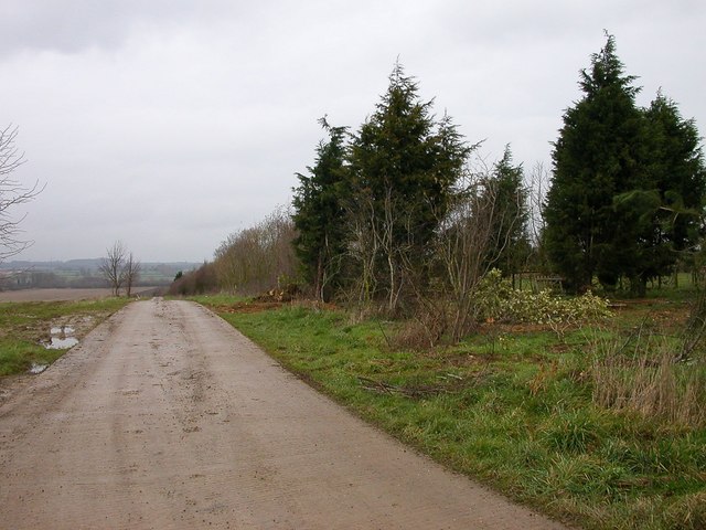
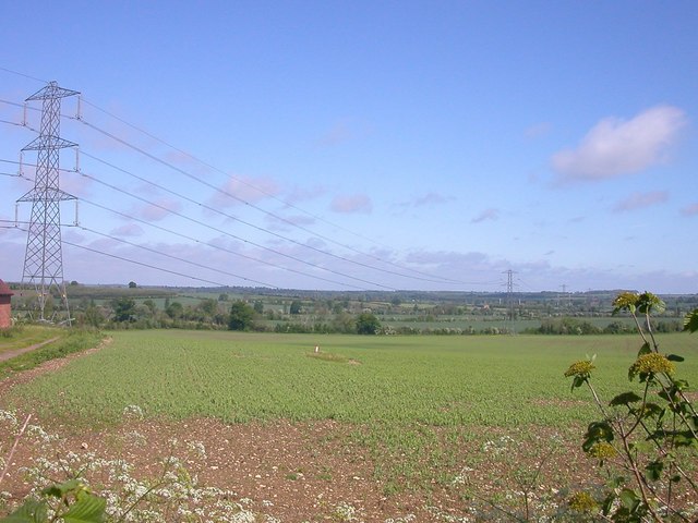
Surrounded by beautiful countryside, Plumpton End offers numerous opportunities for outdoor activities and exploration. The nearby Pitsford Reservoir provides a picturesque setting for walking, birdwatching, and fishing. Additionally, there are several nature reserves and country parks in the vicinity, offering a chance to immerse oneself in the natural beauty of Northamptonshire.

Overall, Plumpton End is a charming village with a strong sense of community and a peaceful, rural setting. It provides a perfect retreat from the bustle of nearby towns, while still offering convenient access to essential amenities and recreational opportunities.

If you have any feedback on the listing, please let us know in the comments section below.
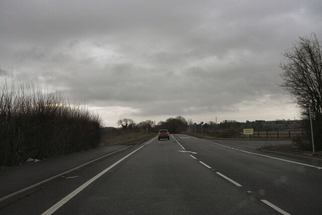
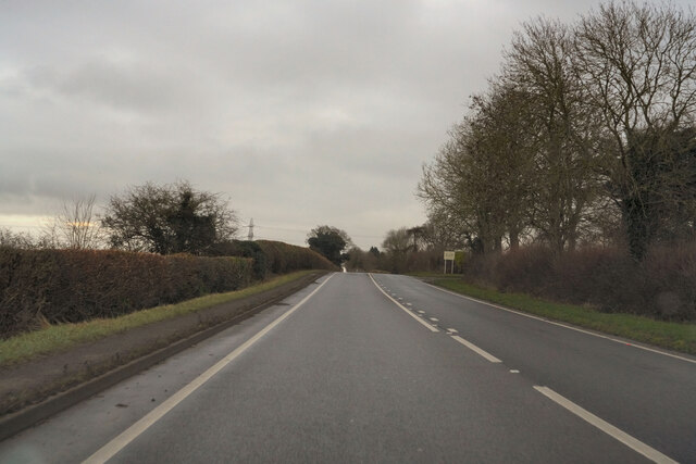
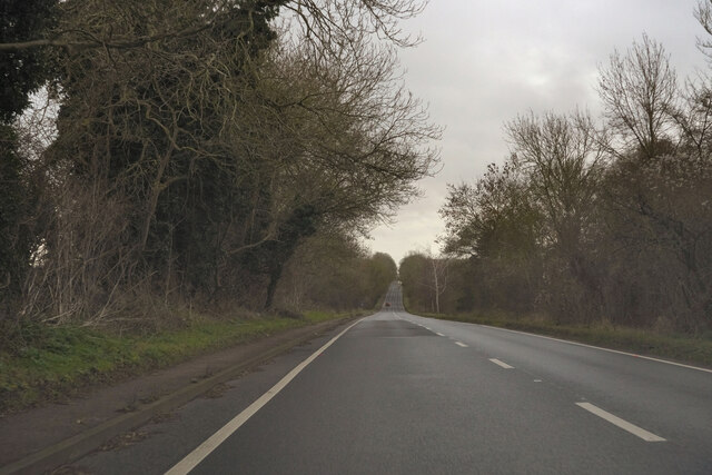
Plumpton End Images

Images are sourced within 2km of 52.101166/-0.942962 or Grid Reference SP7245. Thanks to Geograph Open Source API. All images are credited.

Layby on Watling Street, Heathencote I always stop here for a picture.

<a title="https://www.geograph.org.uk/photo/6844860" href="https://www.geograph.org.uk/photo/6844860">Link</a>
<a title="https://www.geograph.org.uk/photo/6353602" href="https://www.geograph.org.uk/photo/6353602">Link</a>
Layby on Watling Street, Heathencote
I always stop here for a picture. Link Link
The A5, Paulerspury Spot the difference <a title="https://www.geograph.org.uk/photo/6384610" href="https://www.geograph.org.uk/photo/6384610">Link</a>
The A5, Paulerspury
Spot the difference Link
Layby on The A5, Paulerspury
Morgan on Watling Street, Heathencote Unlike other brands the Morgan design has barely changed in decades, which its trademark. After 110 years the company was sold to an Italian conglomerate in 2019 with a small family interest remaining to maintain the brand.
Morgan on Watling Street, Heathencote
Unlike other brands the Morgan design has barely changed in decades, which its trademark. After 110 years the company was sold to an Italian conglomerate in 2019 with a small family interest remaining to maintain the brand.
A dull morning on the A5 Returning to Milton Keynes after the Christmas Day park run.
A dull morning on the A5
Returning to Milton Keynes after the Christmas Day park run.
On the A5 Returning to Milton Keynes after the Christmas Day park run.
On the A5
Returning to Milton Keynes after the Christmas Day park run.
Passing the sign to Paulerspury Returning to Milton Keynes after the Christmas Day park run.
Passing the sign to Paulerspury
Returning to Milton Keynes after the Christmas Day park run.
The A5 Returning to Milton Keynes after the Christmas Day park run.
The A5
Returning to Milton Keynes after the Christmas Day park run.
The A5 Watling Street Returning to Milton Keynes after the Christmas Day park run.
The A5 Watling Street
Returning to Milton Keynes after the Christmas Day park run.
The A5 Watling Street Returning to Milton Keynes after the Christmas Day park run.
The A5 Watling Street
Returning to Milton Keynes after the Christmas Day park run.
Queen's Oak The blacked stump - all that remains of the famous Queen's Oak.
Where Edward IV is reputed to have fallen in love with Elizabeth Woodville in 1461 - whilst out hunting in Whittlewood Forest.
Queen's Oak
The blacked stump - all that remains of the famous Queen's Oak. Where Edward IV is reputed to have fallen in love with Elizabeth Woodville in 1461 - whilst out hunting in Whittlewood Forest.
Pury Hill Road at the side of Pury Hill Business Centre which leads to Pury Hill Farm.
Pury Hill
Road at the side of Pury Hill Business Centre which leads to Pury Hill Farm.
Paulerspury Paulerspury Chapel which is the local United Reformed Church.
Paulerspury
Paulerspury Chapel which is the local United Reformed Church.
Paulerspury The Barley Mow Public House, the only pub in the Village.
Paulerspury
The Barley Mow Public House, the only pub in the Village.
Paulerspury The Church of Saint James The Great.
Paulerspury
The Church of Saint James The Great.
Pury End The Entrance to the Stone Quarry.
Pury End
The Entrance to the Stone Quarry.
Paulerspury Pylons near Ashton Farm.
Paulerspury
Pylons near Ashton Farm.
Plumpton End Road leading up to Farm Buildings from Watling Street.
Plumpton End
Road leading up to Farm Buildings from Watling Street.
Show me another place!

Plumpton End is located at Grid Ref: SP7245 (Lat: 52.101166, Lng: -0.942962)

Unitary Authority: West Northamptonshire

Police Authority: Northamptonshire

What 3 Words

///gave.baking.nosedive. Near Potterspury, Northamptonshire

Nearby Locations

Paulerspury Plumpton End

Related Wikis

Paulerspury

Paulerspury is a civil parish and small village in South Northamptonshire, England. It is approximately 3 miles (5 km) south of Towcester and 8 miles...

Pury End

Pury End is a hamlet of approximately 100 houses in the civil parish of Paulerspury, near Towcester in West Northamptonshire, England. The Grafton Way...

Potterspury Lodge School

Potterspury Lodge School is a Cambian Group school in Northamptonshire, England. It is an Independent School that caters to children with ASD [autism spectrum...

Alderton, Northamptonshire

Alderton is a small English village and civil parish about 9 miles (14 km) south of Northampton, and 10 miles (16 km) north of Milton Keynes, along a road...

Nearby Amenities

Located within 500m of 52.101166,-0.942962
Power: pole
Lat/Long: 52.1023925/-0.9421061
Power: pole
Lat/Long: 52.1024917/-0.9428789
Fuel
Paulerspury Service Station
Addr City: Towcester
Addr Country: GB
Addr Postcode: NN12 7LQ
Addr Street: Watling Street
Addr Village: Paulerspury
Brand: BP
Brand Wikidata: Q152057
Brand Wikipedia: en:BP
Fhrs Authority: West Northamptonshire
Fhrs Id: 1540794
Fhrs Local Authority Id: FR/000000494
Lat/Long: 52.1046455/-0.9396067
Turning Circle
Lat/Long: 52.1029231/-0.9420136
Post Box
Brand: Royal Mail
Brand Wikidata: Q638098
Brand Wikipedia: en:Royal Mail
Operator: Royal Mail
Operator Wikidata: Q638098
Post Box Type: pillar
Ref: NN12 30D
Royal Cypher: EIIR
Royal Cypher Wikidata: Q33102113
Lat/Long: 52.1038064/-0.944586
Place: farm
Lat/Long: 52.0994477/-0.9378474
Plumpton End
Place: neighbourhood
Lat/Long: 52.1018668/-0.9434521
Power: pole
Lat/Long: 52.1010517/-0.949534
Power: pole
Lat/Long: 52.1014937/-0.947424
Power: pole
Lat/Long: 52.1017185/-0.9462816
Power: pole
Lat/Long: 52.1012657/-0.9485126
Power: pole
Lat/Long: 52.1027046/-0.9413918
Power: tower
Lat/Long: 52.1029311/-0.9402212
Power: tower
Lat/Long: 52.0995117/-0.942295
Power: tower
Lat/Long: 52.0967211/-0.9439874
Power: pole
Lat/Long: 52.1050043/-0.9394324
Direction: 145
Generator Method: photovoltaic
Generator Output Electricity: yes
Generator Source: solar
Generator Type: solar_photovoltaic_panel
Location: roof
Power: generator
Lat/Long: 52.1042247/-0.9414163
Direction: SW
Generator Method: photovoltaic
Generator Output Electricity: yes
Generator Solar Modules: 14
Generator Source: solar
Generator Type: solar_photovoltaic_panel
Location: roof
Power: generator
Lat/Long: 52.1041563/-0.9417401
Direction: 165
Generator Method: photovoltaic
Generator Output Electricity: yes
Generator Solar Modules: 12
Generator Source: solar
Generator Type: solar_photovoltaic_panel
Location: roof
Power: generator
Lat/Long: 52.1020736/-0.9499497
Public Bookcase
Booth: K6
Colour: red
Disused Amenity: telephone
Man Made: telephone_box
Old Phone: +44 1327 811224
Public Bookcase Type: phone_box
Lat/Long: 52.103802/-0.9446434
Man Made: village_sign
Lat/Long: 52.1038231/-0.9447119
Place Of Worship
Paulersbury Chapel
Denomination: united_reformed
Religion: christian
Lat/Long: 52.1035068/-0.9461385
Bus Stop
Grays Close (adj)
Bench: yes
Naptan AtcoCode: 300000276G
Naptan CommonName: Grays Close
Naptan Indicator: adj
Naptan Landmark: Grays Close
Naptan NaptanCode: nthamwmt
Naptan Street: Grays Lane
Public Transport: platform
Shelter: yes
Lat/Long: 52.1045101/-0.941733
Bus Stop
Grays Close (opp)
Bin: yes
Naptan AtcoCode: 300000276GR
Naptan CommonName: Grays Close
Naptan Indicator: opp
Naptan Landmark: Grays Close
Naptan NaptanCode: nthamwpa
Naptan Street: Grays Lane
Public Transport: platform
Lat/Long: 52.1045917/-0.9414674
The data included in this document is from www.openstreetmap.org. The data is made available under ODbL.

Have you been to Plumpton End?

Leave your review of Plumpton End below (or comments, questions and feedback).