Bilton
Settlement in Yorkshire Harrogate
England
Bilton
Bilton is a small village located in the Harrogate district of North Yorkshire, England. Situated on the outskirts of the town of Harrogate, it is nestled within the picturesque countryside of Yorkshire. Bilton has a population of around 8,000 residents.
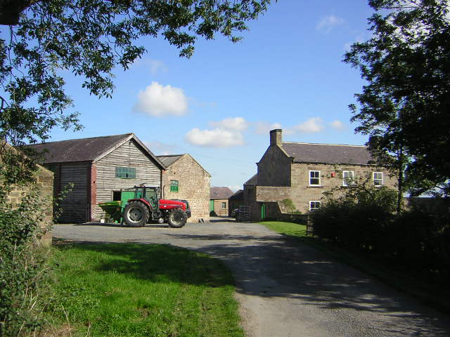
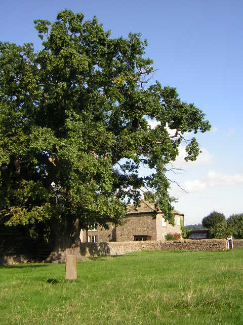
The village boasts a rich history, dating back to medieval times when it was known for its agricultural activities. Today, it retains a charming rural character, with its traditional stone cottages and well-maintained gardens. Bilton offers a peaceful and tranquil setting, making it an ideal place for those seeking a quieter lifestyle.
Despite its small size, Bilton offers a range of amenities to its residents. The village has several local shops, including convenience stores, a pharmacy, and a post office, catering to everyday needs. It also has a primary school, providing education for the local children.
For recreational activities, Bilton offers a variety of options. The village has a community center that hosts various events and activities throughout the year, fostering a sense of community spirit. Additionally, Bilton is surrounded by beautiful countryside, offering opportunities for outdoor pursuits such as walking, cycling, and horse riding. The nearby Nidd Gorge is a popular spot for nature enthusiasts.
With its proximity to Harrogate, residents of Bilton have easy access to a wider range of amenities, including shopping centers, restaurants, and entertainment venues. The vibrant city of Leeds is also within commuting distance, offering additional employment and recreational opportunities.
Overall, Bilton is a charming village that combines a peaceful rural setting with convenient access to nearby towns and cities, making it an attractive place to live for those seeking a balance between tranquility and modern amenities.
If you have any feedback on the listing, please let us know in the comments section below.
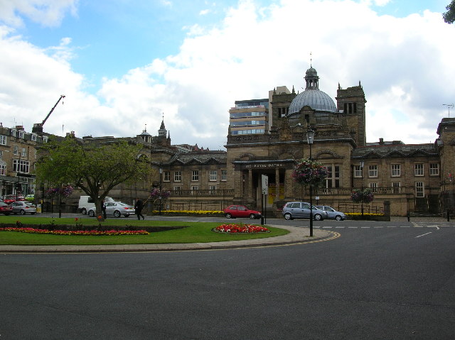
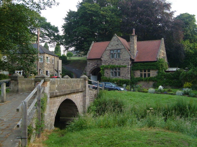
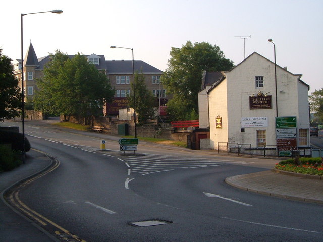
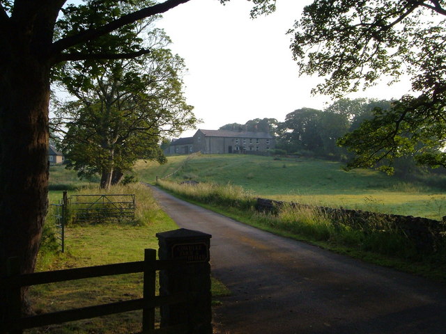
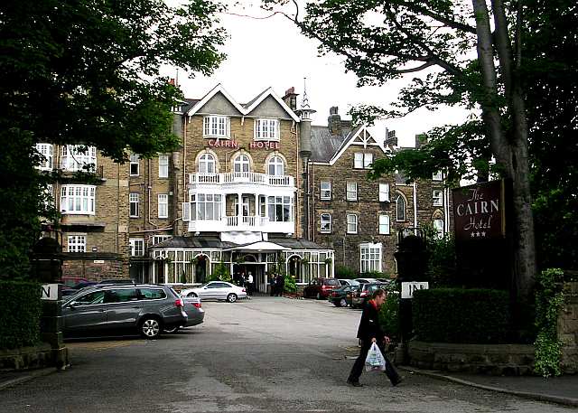
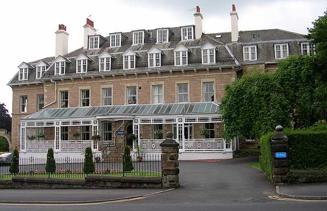
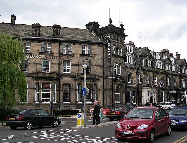
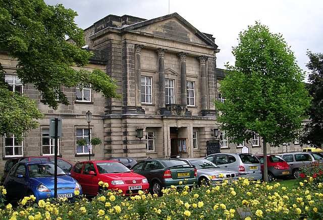
Bilton Images
Images are sourced within 2km of 54.010277/-1.534405 or Grid Reference SE3057. Thanks to Geograph Open Source API. All images are credited.


Bilton is located at Grid Ref: SE3057 (Lat: 54.010277, Lng: -1.534405)
Division: West Riding
Administrative County: North Yorkshire
District: Harrogate
Police Authority: North Yorkshire
What 3 Words
///duplicity.acoustics.opposing. Near Harrogate, North Yorkshire
Nearby Locations
Related Wikis

Bilton, Harrogate
Bilton is a suburb of Harrogate, North Yorkshire, England...
Red Cat Cottage
The Red Cat Cottage (formerly Red Cat Inn), a Grade II listed...

Harrogate Gasworks Railway
Harrogate Gasworks Railway was an industrial railway in...
Grove House, Harrogate
Grove House is a former inn, school, house and orphanage...

Oak Beck
Oak Beck is a watercourse that flows eastwards across the...
Springwell Harrogate
Springwell Harrogate (formerly The Grove Academy) is a mixed...
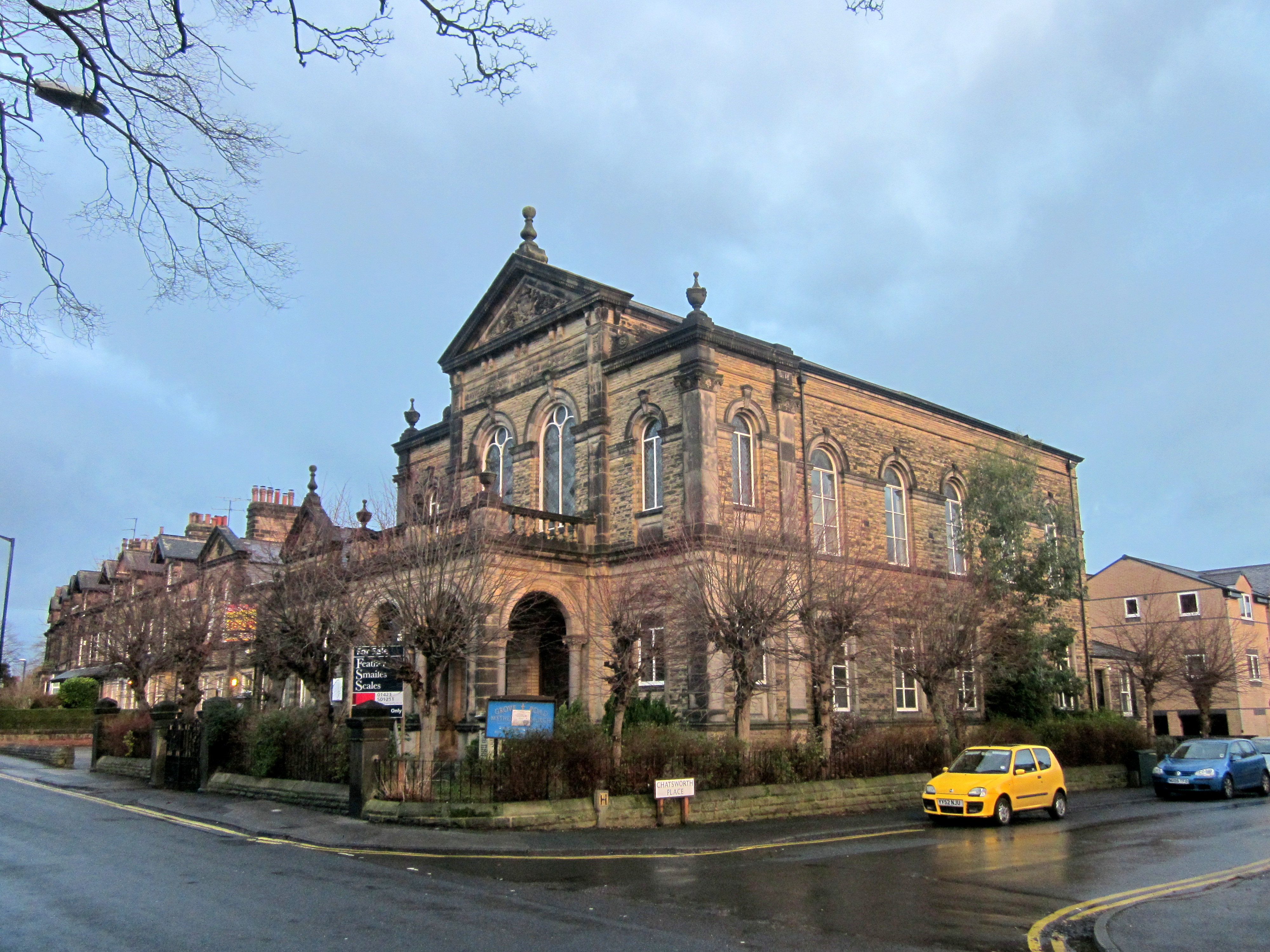
Wesleyan Methodist Chapel, Grove Road, Harrogate
The Wesleyan Methodist Chapel is a Grade II listed building...
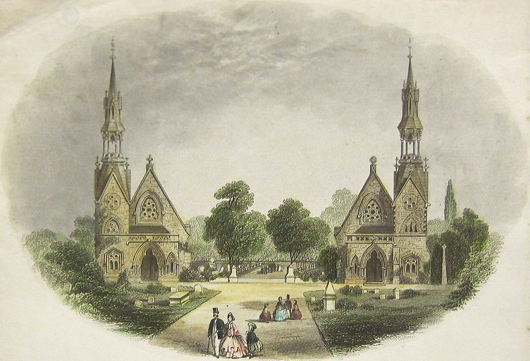
Grove Road Cemetery, Harrogate
Grove Road Cemetery, Harrogate, North Yorkshire, England...
Nearby Amenities
Located within 500m of 54.010277,-1.534405Have you been to Bilton?
Leave your review of Bilton below (or comments, questions and feedback).