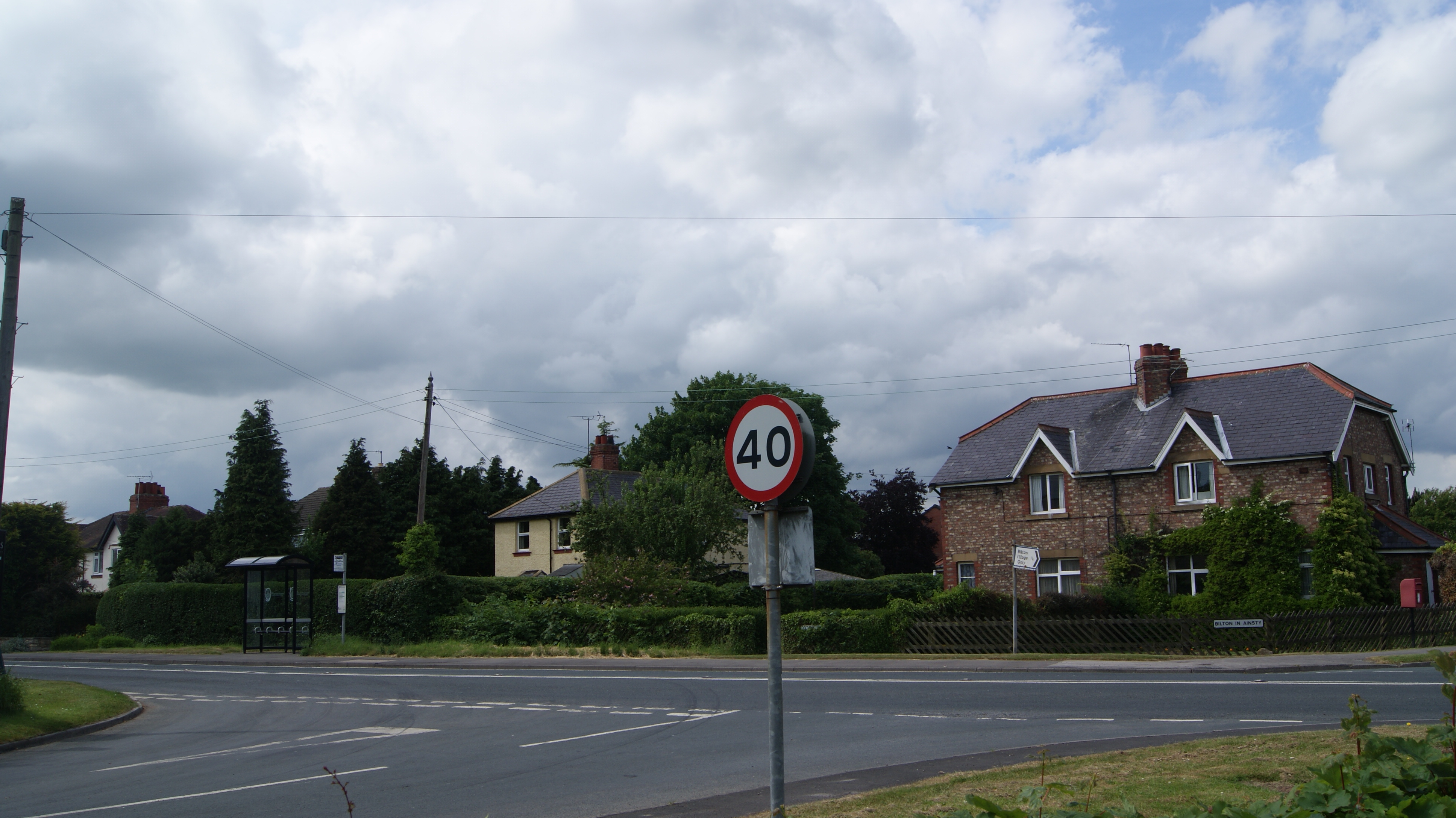
Bilton
Settlement in Yorkshire Harrogate
England
Bilton
Bilton is a small village located in the Harrogate district of North Yorkshire, England. Situated just 3 miles north of the town of Harrogate, it forms part of the larger urban area and is surrounded by scenic countryside. With a population of around 5,000 residents, Bilton maintains a close-knit community atmosphere.
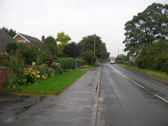
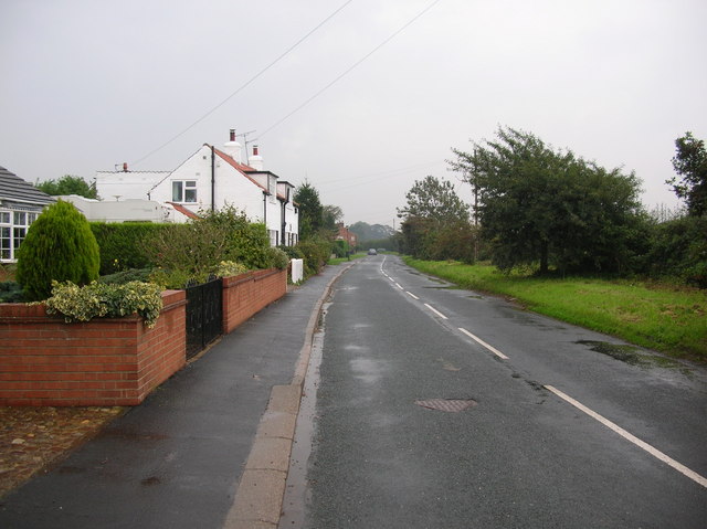
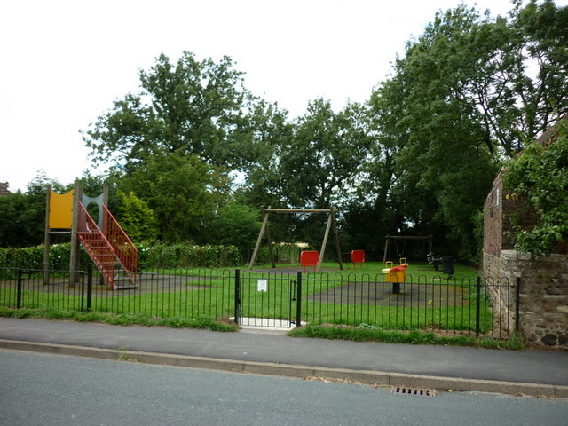
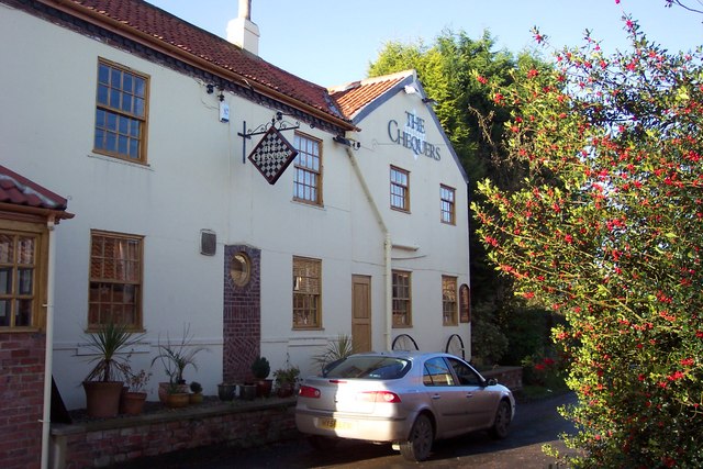
The village is known for its charming character and traditional English architecture. The main street is lined with a mix of quaint stone-built cottages, Victorian houses, and more modern dwellings. Bilton also features a picturesque village green, providing a focal point for community events and gatherings.
The village offers a range of amenities to its residents, including several local shops, a post office, a library, and a community center. There are also two primary schools, Bilton Grange Primary and Woodfield Primary, serving the area.
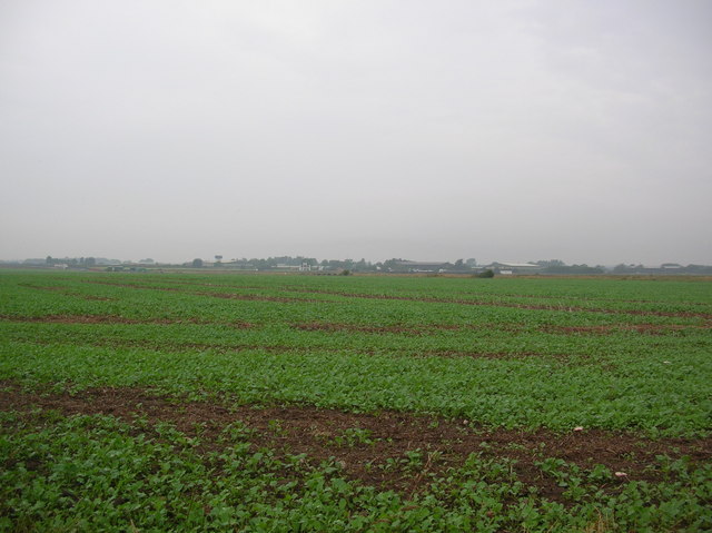
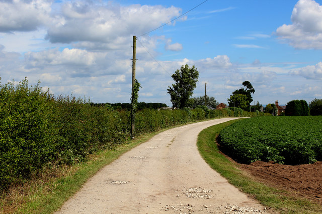
For outdoor enthusiasts, Bilton is conveniently located near the Nidderdale Area of Outstanding Natural Beauty. This makes it an ideal base for exploring the stunning landscapes of Yorkshire, with opportunities for hiking, cycling, and wildlife spotting.
Transportation options in Bilton are well-served, with regular bus services to Harrogate and other nearby towns. The village is also easily accessible by road, located just off the A61 road.
Overall, Bilton offers a peaceful and picturesque setting, with close proximity to both rural landscapes and urban amenities. Its strong sense of community and scenic surroundings make it an attractive place to live for residents of all ages.
If you have any feedback on the listing, please let us know in the comments section below.
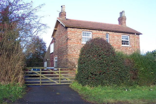
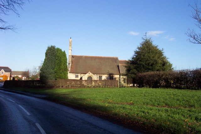
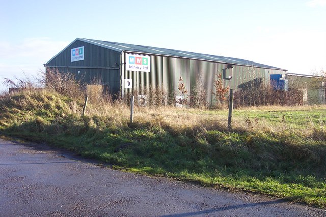
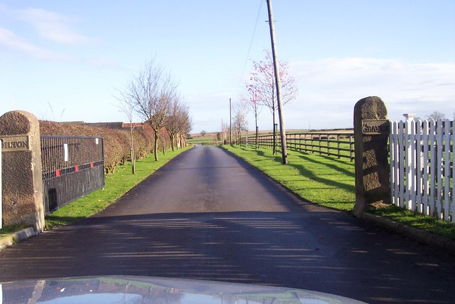
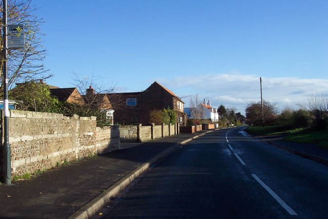
Bilton Images
Images are sourced within 2km of 53.94766/-1.2767471 or Grid Reference SE4750. Thanks to Geograph Open Source API. All images are credited.


Bilton is located at Grid Ref: SE4750 (Lat: 53.94766, Lng: -1.2767471)
Division: West Riding
Administrative County: North Yorkshire
District: Harrogate
Police Authority: North Yorkshire
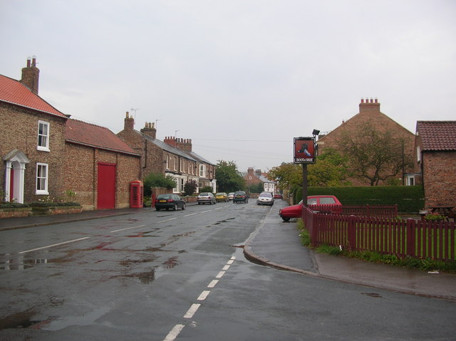
Also known as: Bilton in Ainsty
What 3 Words
///theory.vets.reacting. Near Walton, West Yorkshire
Nearby Locations
Related Wikis
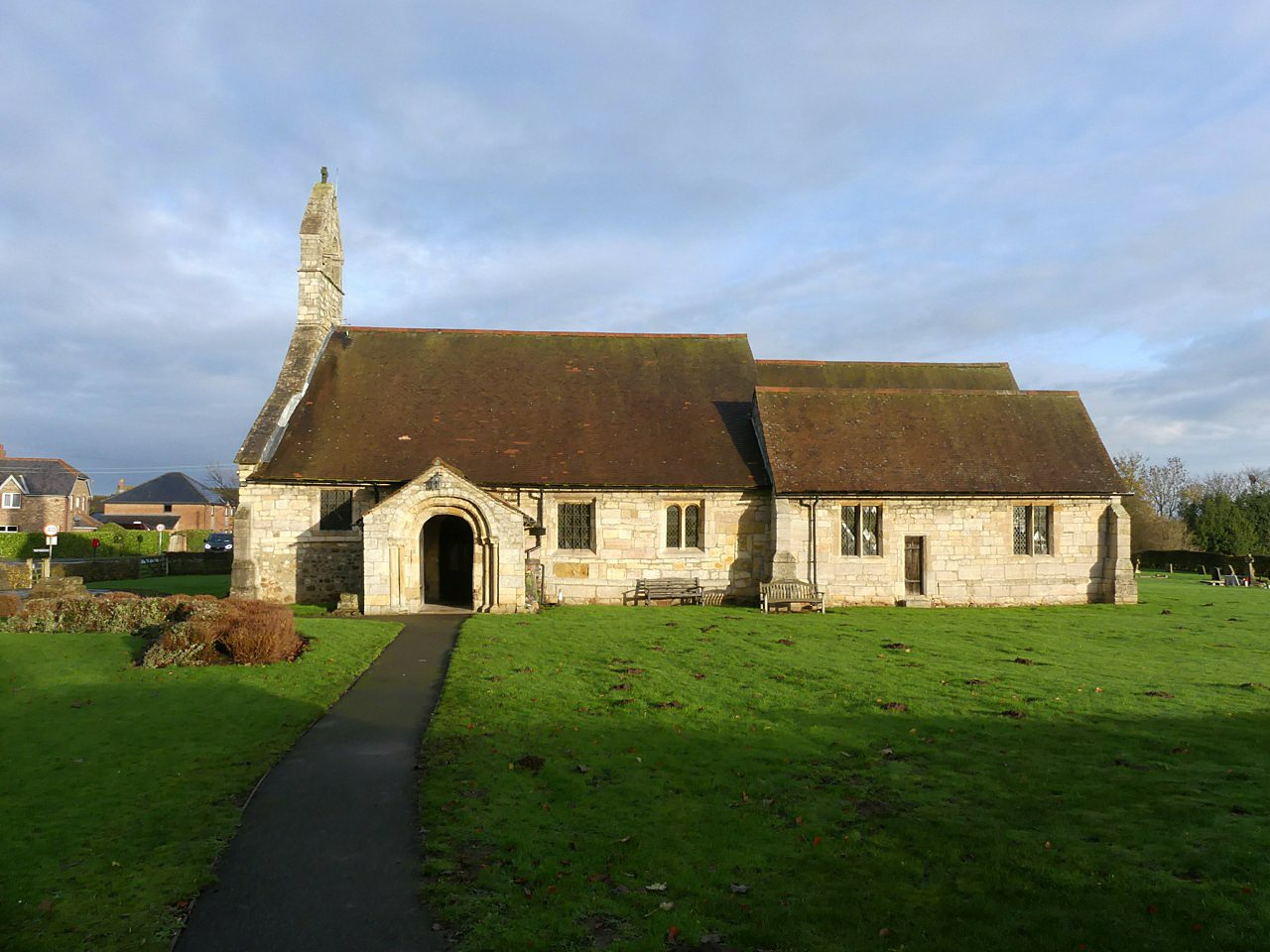
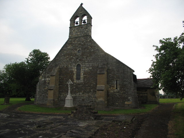
St Helen's Church, Bilton-in-Ainsty
St Helen's Church is the parish church of Bilton-in-Ainsty, a village west of York in North Yorkshire, in England. Although no church in the village is...
Bilton-in-Ainsty
Bilton-in-Ainsty is a village in the civil parish of Bilton-in-Ainsty with Bickerton, in North Yorkshire, England. It lies about 4 miles (6 km) east of...
Bilton-in-Ainsty with Bickerton
Bilton-in-Ainsty with Bickerton is a civil parish in the Harrogate district of North Yorkshire, England. According to the 2001 census it had a population...
Tockwith
Tockwith is a village and civil parish in the Harrogate district of North Yorkshire, England, near the town of Wetherby and the city of York. There has...
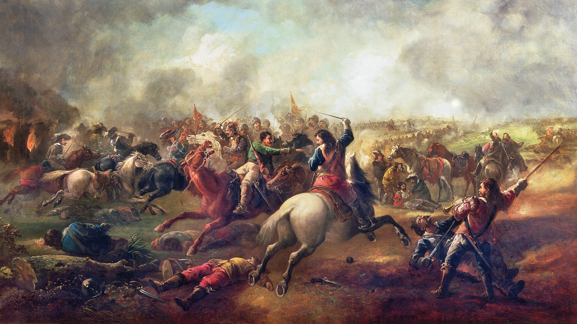
Battle of Marston Moor
The Battle of Marston Moor was fought on 2 July 1644, during the Wars of the Three Kingdoms of 1639–1653. The combined forces of the English Parliamentarians...

Syningthwaite Priory
Syningthwaite Priory was a priory in West Yorkshire, England. Syningthwaite is the site of the Cistercian convent of St Mary, founded c. 1150–1160 by Bertram...
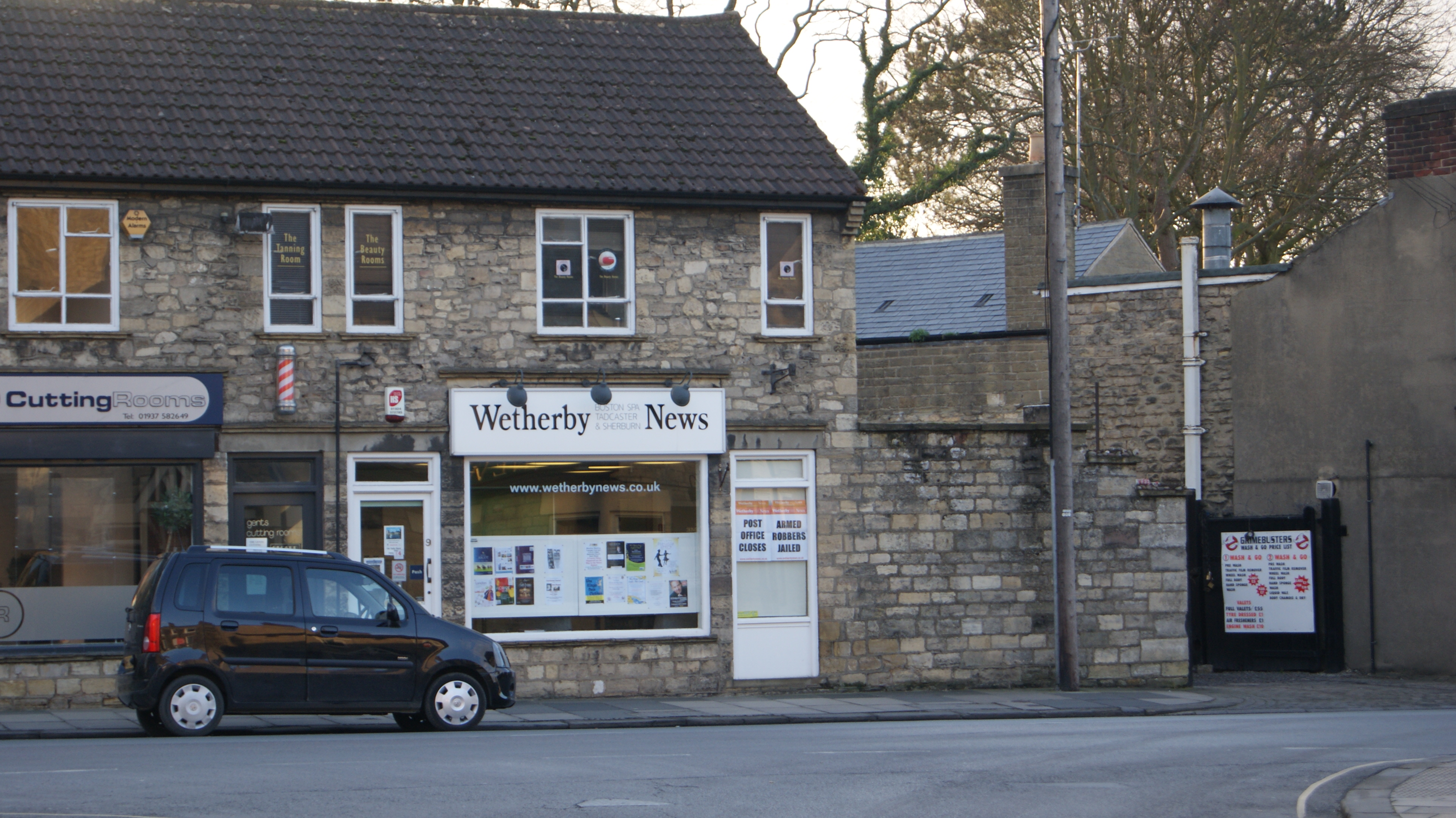
Wetherby News
The Wetherby News is a local weekly tabloid newspaper published on a Thursday and based in Wetherby, West Yorkshire, England. The newspaper was founded...

RAF Marston Moor
RAF Marston Moor was a Royal Air Force airfield at Tockwith, North Yorkshire, during the Second World War. It was originally called RAF Tockwith, but...
Nearby Amenities
Located within 500m of 53.94766,-1.2767471Have you been to Bilton?
Leave your review of Bilton below (or comments, questions and feedback).