Acton

Settlement in Dorset

England

Acton

Path coming out on to High Street Path beside churchyard coming out on to High Street
Path coming out on to High Street Credit: Shaun Ferguson

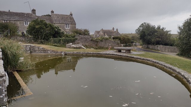
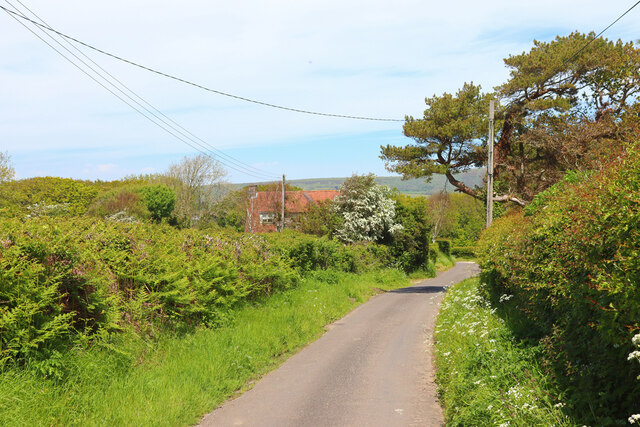
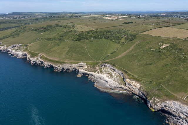
Acton is a small village located in the county of Dorset, England. Situated approximately 5 miles west of the market town of Wareham, Acton is nestled in the picturesque Purbeck Hills, offering breathtaking views of the surrounding countryside.

The village, with a population of around 500 residents, is known for its charming and peaceful atmosphere. It is characterized by a mix of traditional thatched cottages and modern houses, giving Acton a unique blend of old-world charm and contemporary living.

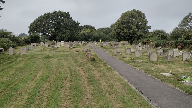
One of the main attractions in Acton is its beautiful parish church, St. Mary's, which dates back to the 12th century. The church features stunning stained glass windows and intricate carvings, making it a must-visit for history and architecture enthusiasts.

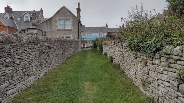
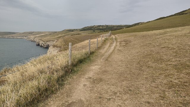
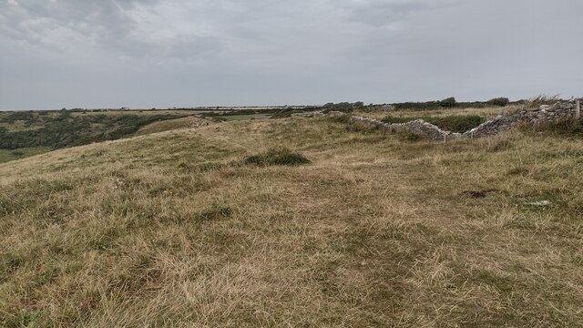
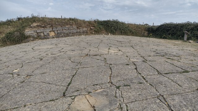
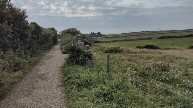
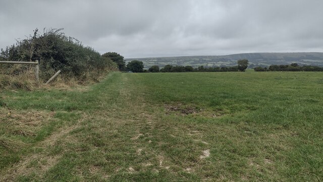
The village is also surrounded by lush green fields, making it an ideal location for nature lovers and outdoor enthusiasts. There are numerous walking and cycling trails that offer stunning views of the rolling hills and countryside.

Despite its small size, Acton has a strong sense of community, with various local events and activities taking place throughout the year. The village pub, The Blacksmith's Arms, is a popular gathering spot for residents and visitors alike, offering a warm and welcoming atmosphere.

In summary, Acton in Dorset is a tranquil and picturesque village that offers a perfect escape from the hustle and bustle of city life. With its stunning natural beauty, rich history, and close-knit community, Acton is a hidden gem in the heart of Dorset.

If you have any feedback on the listing, please let us know in the comments section below.
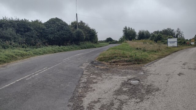
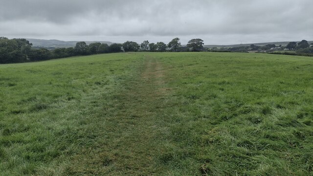
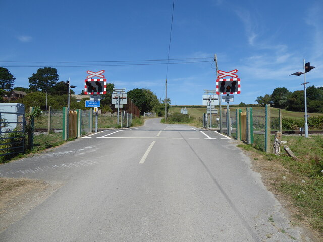
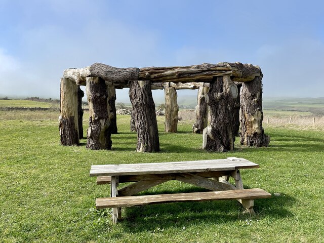
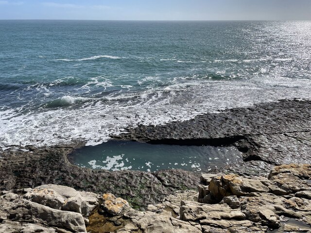
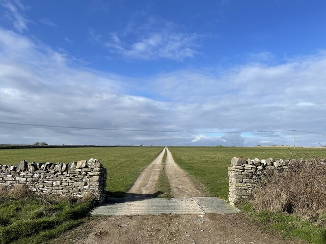
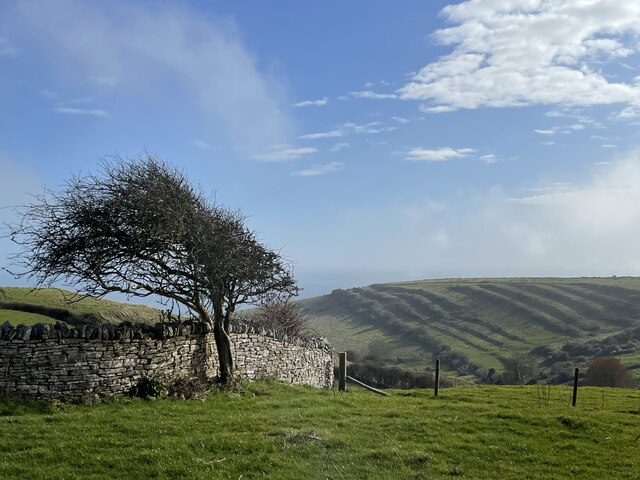
Acton Images

Images are sourced within 2km of 50.605857/-2.0169897 or Grid Reference SY9878. Thanks to Geograph Open Source API. All images are credited.

Path coming out on to High Street Path beside churchyard coming out on to High Street
Path coming out on to High Street
Path beside churchyard coming out on to High Street
Crack Lane Cemetery Crack Lane Cemetery outside of Langton Matravers
Crack Lane Cemetery
Crack Lane Cemetery outside of Langton Matravers
South West Coast Path South West Coast Path nearing Dancing Ledge
South West Coast Path
South West Coast Path nearing Dancing Ledge
Path following the Wall Path following the wall above Dancing Ledge
Path following the Wall
Path following the wall above Dancing Ledge
Village Pond Village Pond and Green Worth Matravers
Village Pond
Village Pond and Green Worth Matravers
Keates Quarry Keates Quarry dinosaur footprints
Keates Quarry
Keates Quarry dinosaur footprints
Priest's Way Priest's Way passing the entrance to Keates Quarry dinosaur footprints
Priest's Way
Priest's Way passing the entrance to Keates Quarry dinosaur footprints
Bridleway heading to A351 From Langton Road the bridleway heading to A351
Bridleway heading to A351
From Langton Road the bridleway heading to A351
Kingston Lane passing Swanworth Quarry Kingston Lane passing Swanworth Quarry heading to Worth Matravers
Kingston Lane passing Swanworth Quarry
Kingston Lane passing Swanworth Quarry heading to Worth Matravers
Path heading towards Woodhyde Campsite From Haycrafts Lane the path heading towards Woodhyde Campsite
Path heading towards Woodhyde Campsite
From Haycrafts Lane the path heading towards Woodhyde Campsite
Haycraft's Lane Minor road near Harman's Cross.
Haycraft's Lane
Minor road near Harman's Cross.
Level Crossing Steam train near Harman's Cross.
Level Crossing
Steam train near Harman's Cross.
Level crossing, Quarr Farm
Woodhenge, Worth Matravers
The pool at Dancing Ledge Blasted out of the rock after WW1 for local schoolchildren, the natural swimming pool fills at high tide.
The pool at Dancing Ledge
Blasted out of the rock after WW1 for local schoolchildren, the natural swimming pool fills at high tide.
Track off the Priest's Way
Seacombe Bottom A view down to the sea, showing the strip lynchets on the far side of the hill.
Seacombe Bottom
A view down to the sea, showing the strip lynchets on the far side of the hill.
Dancing Ledge
Dancing Ledge
Show me another place!

Acton is located at Grid Ref: SY9878 (Lat: 50.605857, Lng: -2.0169897)

Unitary Authority: Dorset

Police Authority: Dorset

What 3 Words

///impressed.applause.blubber. Near Swanage, Dorset

Nearby Locations

Acton

Related Wikis

Acton, Dorset

Acton is a hamlet in the parish of Langton Matravers, on the Isle of Purbeck, in the county of Dorset in the south of England. The hamlet of Acton was...

Spyway

Spyway is an isolated property in the parish of Worth Matravers in Dorset and is owned by the National Trust. It is located on the route of the Priest...

Priest's Way

The Priest's Way is the historical route taken by clergy from St Nicholas's, Worth Matravers to St Mary's Church, Swanage in the Isle of Purbeck in Dorset...

Langton Matravers

Langton Matravers () is a village and civil parish on the Isle of Purbeck, in the county of Dorset in the south of England. It is situated about 2 miles...

Related Videos

Bank Holiday Walking

Took an early morning walk along to Hedbury Quarry. Somewhere I don't go often as it's the next stop along from the ever popular ...

Solo Hiking & Wild Camping Along England's Jurassic Coast

In May 2022, I escaped London for 24 hours and hit up a section of the Jurassic Coast. Hiking alone from Worth Matravers, I wild ...

ഡാൻസിംഗ് ലെഡ്‌ജ്‌ കണ്ട് കിളി പോയപ്പോൾ, Dancing Ledge, World Famous Dorset's Jurassic Coastal Cliff

ഡാൻസിംഗ് ലെഡ്‌ജ്‌ കണ്ട് കിളി പോയപ്പോൾ, Dancing Ledge, World Famous Dorset's Jurassic Coastal ...

Exploring Dorset's Jurassic coast - SMUGGLERS, DINOSAURS & DALEKS!

Welcome, to the stunning Jurassic Coastline of Dorset! Join me as I follow the trail of smugglers, dinosaurs and Sci-Fi lovers along ...

Nearby Amenities

Located within 500m of 50.605857,-2.0169897
Acton
Is In: Purbeck, Dorset
Place: hamlet
Wikidata: Q344387
Lat/Long: 50.6053075/-2.0166404
Material: wood
Power: pole
Source: bing
Lat/Long: 50.6029579/-2.0211055
Material: wood
Power: pole
Source: bing;survey
Switch: mechanical
Lat/Long: 50.6032981/-2.019795
Material: wood
Power: pole
Source: bing
Lat/Long: 50.6042275/-2.0163563
Material: wood
Power: pole
Source: bing
Lat/Long: 50.6046542/-2.0148609
Material: wood
Power: pole
Source: bing
Lat/Long: 50.6050112/-2.0134599
Material: wood
Power: pole
Source: bing
Lat/Long: 50.6053423/-2.0122483
Material: wood
Power: pole
Source: bing
Switch: recloser
Lat/Long: 50.6058281/-2.0104879
Material: wood
Power: pole
Source: bing
Lat/Long: 50.6072788/-2.0103941
Capstan Field
Material: wood
Note: Names "CAPTAN FIELD" and "CAPSTAN FIELD" are both on the pole, with an A not an O.
Power: pole
Ref: 56904055;3
Source: bing
Source Ref: survey
Transformer: distribution
Voltage Primary: 11000
Voltage Secondary: 400
Voltage Tertiary: 230
Lat/Long: 50.6077937/-2.0109768
Location Transition: yes
Material: wood
Note: Underground cable has three cables but only two connected (one earthed?), and is connected to north-west side of switch
Power: pole
Ref Switch: 71641 F2H
Source: bing
Switch: mechanical
Lat/Long: 50.6084544/-2.0117133
Material: wood
Power: pole
Source: bing
Switch: recloser
Lat/Long: 50.6090877/-2.0123913
Material: wood
Power: pole
Source: bing
Switch: mechanical
Lat/Long: 50.6098508/-2.0143464
Castle View Barn
Material: wood
Power: pole
Ref: 8
Source: bing
Source Ref: survey
Transformer: distribution
Voltage Primary: 11000
Voltage Secondary: 230
Lat/Long: 50.6099948/-2.0155807
Material: wood
Power: pole
Source: bing
Lat/Long: 50.6101221/-2.0167623
Material: wood
Power: pole
Source: bing
Lat/Long: 50.6101749/-2.0178532
Barrier: stile
Material: wood
Source: survey
Step Count: 2
Stile: stepover
Lat/Long: 50.6085725/-2.011403
Material: wood
Power: pole
Source: bing
Lat/Long: 50.6078517/-2.0114219
Material: wood
Power: pole
Source: bing
Lat/Long: 50.6043646/-2.0215729
Material: wood
Power: pole
Source: bing
Lat/Long: 50.6047176/-2.0217886
Material: wood
Power: pole
Source: bing
Lat/Long: 50.6050371/-2.0219779
Material: wood
Power: pole
Source: survey
Switch: mechanical
Lat/Long: 50.6053734/-2.0121355
Material: wood
Power: pole
Source: bing
Lat/Long: 50.6054164/-2.0221991
Barrier: stile
Source: survey
Lat/Long: 50.6056434/-2.0212714
Material: wood
Power: pole
Source: bing
Lat/Long: 50.6057637/-2.0211644
Material: wood
Power: pole
Source: bing
Lat/Long: 50.6058616/-2.0124992
Post Box
Brand: Royal Mail
Brand Wikidata: Q638098
Brand Wikipedia: en:Royal Mail
Collection Times: Mo-Fr 16:15; Sa 07:30
Operator: Royal Mail
Operator Wikidata: Q638098
Post Box Type: lamp
Ref: BH19 83
Ref GB Uprn: 10015421388
Royal Cypher: EIIR
Royal Cypher Wikidata: Q33102113
Source: GPS+GLONASS
Lat/Long: 50.605917/-2.016901
Fire Hydrant
Emergency: fire_hydrant
Fire Hydrant Diameter: 4 inch
Fire Hydrant Type: underground
Ref: 8447
Source: GPS+GLONASS
Lat/Long: 50.606003/-2.01689
Barrier: stile
Source: survey
Lat/Long: 50.6061713/-2.0181913
Barrier: stile
Source: survey
Lat/Long: 50.6061874/-2.0176424
Barrier: stile
Source: survey
Lat/Long: 50.6064035/-2.0169333
Barrier: stile
Source: survey
Lat/Long: 50.6064488/-2.0168434
Material: wood
Power: pole
Source: bing
Lat/Long: 50.6066694/-2.0169018
Barrier: stile
Source: survey
Lat/Long: 50.6068161/-2.0132553
Fire Hydrant
Emergency: fire_hydrant
Fire Hydrant Diameter: 75
Fire Hydrant Type: underground
Ref: 13020
Source: GPS+GLONASS
Lat/Long: 50.6068413/-2.012792
Barrier: kissing_gate
Source: survey
Lat/Long: 50.6068942/-2.0121272
Material: wood
Power: pole
Source: bing
Lat/Long: 50.6070204/-2.0169167
Material: wood
Power: pole
Source: bing
Lat/Long: 50.6073698/-2.0169886
Telephone
Booth: K6
Covered: booth
Operator: BT
Phone: +44 1929 439295
Lat/Long: 50.6078511/-2.0170843
Street Lamp
Material: wood
Power: pole
Source: bing
Lat/Long: 50.6078593/-2.017058
Barrier: stile
Material: wood
Source: survey
Stile: stepover
Lat/Long: 50.6084568/-2.013026
Barrier: stile
Source: survey
Lat/Long: 50.6099501/-2.0151065
Historic: milestone
Inscription: VIII Miles From Wareham
Lat/Long: 50.6078644/-2.0195533
Bus Stop
Acton Lane
Bus: yes
Naptan AtcoCode: 1200POA10084
Naptan Bearing: E
Naptan CommonName: Acton Lane
Naptan Indicator: E-bound
Naptan NaptanCode: dordamag
Naptan Street: B3069
Naptan Verified: no
Public Transport: platform
Lat/Long: 50.6078296/-2.0172197
Bus Stop
Acton Lane
Bus: yes
Naptan AtcoCode: 1200POA10085
Naptan Bearing: W
Naptan CommonName: Acton Lane
Naptan Indicator: W-bound
Naptan NaptanCode: dordamaj
Naptan Street: B3069
Naptan Verified: no
Public Transport: platform
Lat/Long: 50.6077436/-2.0172653
Board Type: geology
Information: board
Tourism: information
Lat/Long: 50.6020527/-2.0201779
Barrier: stile
Stile: ladder
Lat/Long: 50.6031996/-2.0124605
Power: pole
Source: bing
Lat/Long: 50.603739/-2.0181343
The data included in this document is from www.openstreetmap.org. The data is made available under ODbL.

Have you been to Acton?

Leave your review of Acton below (or comments, questions and feedback).