Acton

Settlement in Suffolk Babergh

England

Acton

Narrow footpath, Acton
Narrow footpath, Acton Credit: Roger Jones

Acton is a small village located in the county of Suffolk, England. It is situated approximately 5 miles southwest of Sudbury and 20 miles northwest of the county town, Ipswich. With a population of around 700 residents, Acton is known for its picturesque setting and rural charm.

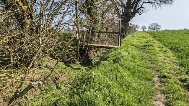
The village is surrounded by beautiful countryside, characterized by rolling hills, green fields, and meandering streams. It is a popular destination for nature enthusiasts and walkers, offering plenty of scenic routes and country trails to explore. Acton also boasts a number of historic buildings, including a 12th-century church called St. Mary's, which is a prominent landmark in the area.

In terms of amenities, Acton has a local primary school, a village hall, and a pub that serves as a social hub for the community. The village is well-connected to nearby towns and cities, with regular bus services and good road links. Sudbury, the closest town, provides additional amenities such as shops, supermarkets, and secondary schools.

Acton is known for its tight-knit community spirit, with various events and activities organized throughout the year. These include summer fairs, Christmas markets, and community gatherings. The village also has a strong sense of history and heritage, with residents actively preserving its rural character and traditional way of life.

Overall, Acton offers a tranquil and idyllic setting for those seeking a peaceful village lifestyle surrounded by nature.

If you have any feedback on the listing, please let us know in the comments section below.
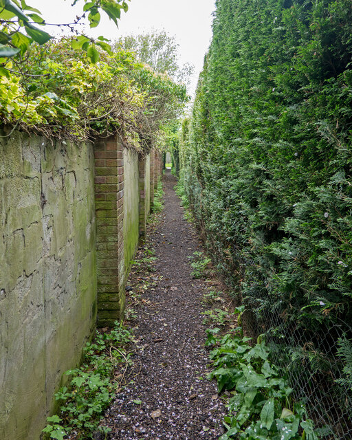
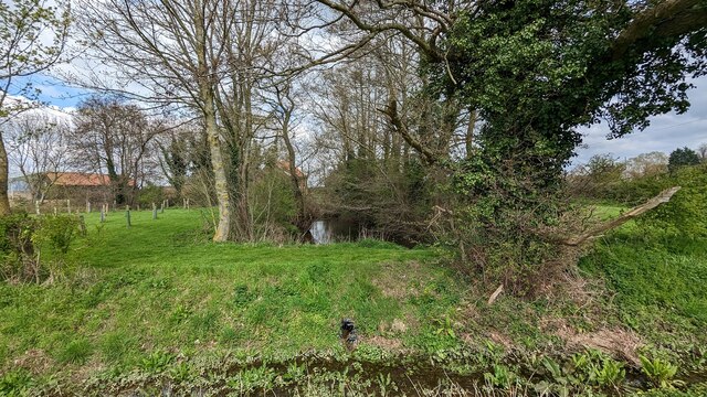
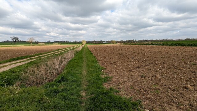
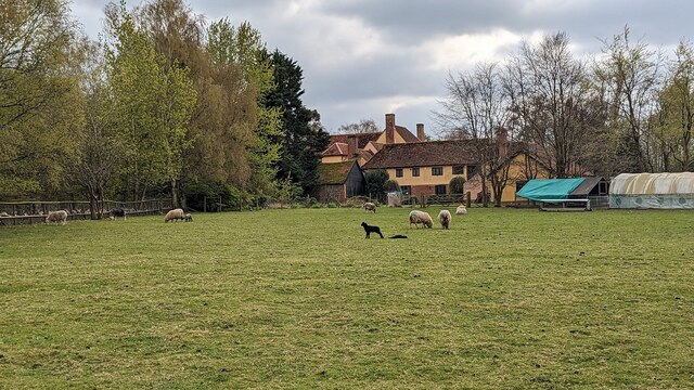
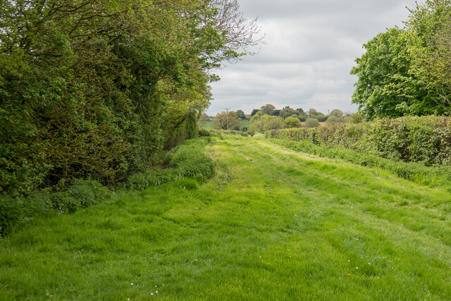
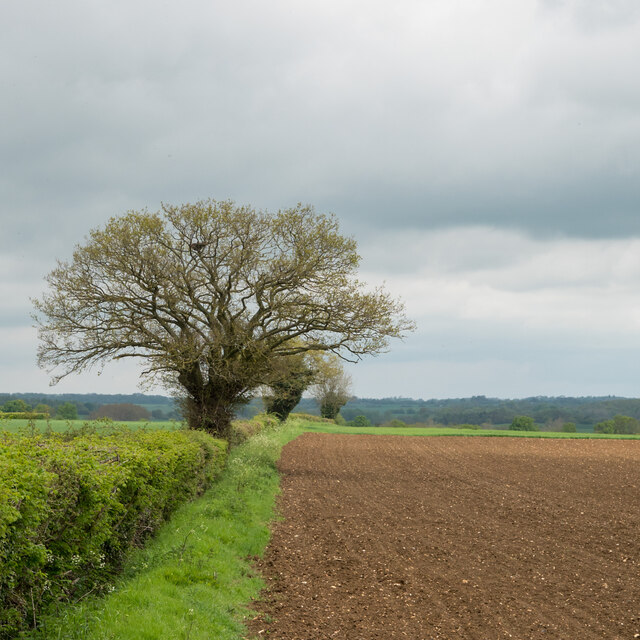
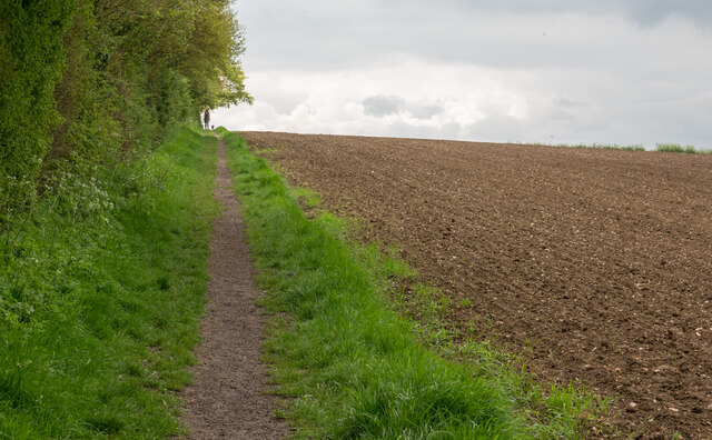
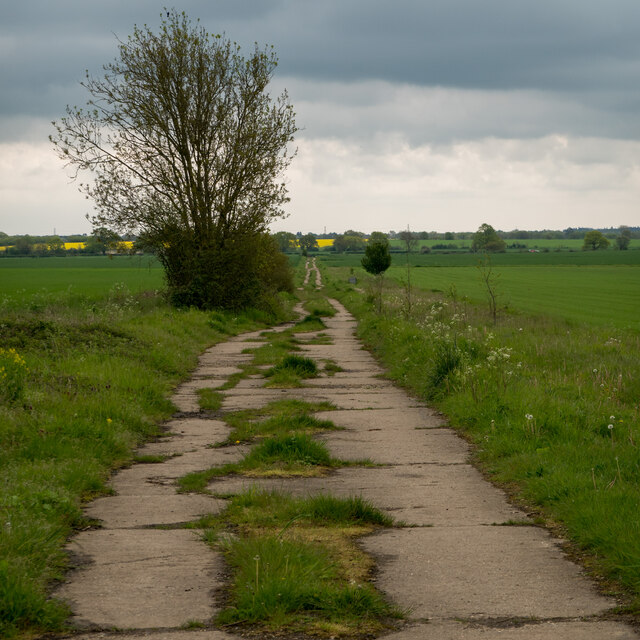
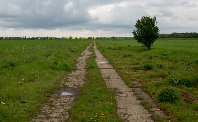
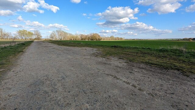
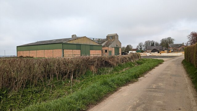
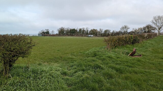
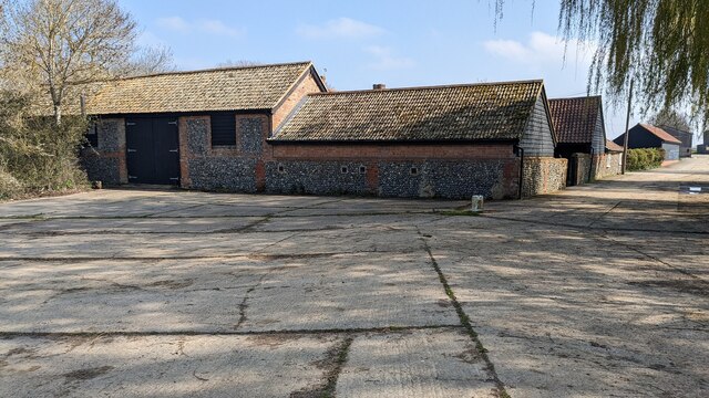
Acton Images

Images are sourced within 2km of 52.070665/0.761012 or Grid Reference TL8944. Thanks to Geograph Open Source API. All images are credited.

Narrow footpath, Acton
Moated Site at Dyer's Green Farm
Footpath to Acton
Footpath to Acton
Babergh Hall <span class="nowrap"><a title="https://historicengland.org.uk/listing/the-list/list-entry/1036634?section=official-list-entry" rel="nofollow ugc noopener" href="https://historicengland.org.uk/listing/the-list/list-entry/1036634?section=official-list-entry">Link</a><img style="margin-left:2px;" alt="External link" title="External link - shift click to open in new window" src="https://s1.geograph.org.uk/img/external.png" width="10" height="10"/></span>
Babergh Hall
Bridleway near Cuckoo Tye
Tree in hedgerow on field boundary, Acton
Footpath on Field Boundary, Acton
Footpath in former Sudbury Airfield, Acton Wikipedia article on Sudbury Airfield:- <span class="nowrap"><a title="https://en.wikipedia.org/wiki/RAF_Sudbury" rel="nofollow ugc noopener" href="https://en.wikipedia.org/wiki/RAF_Sudbury">Link</a><img style="margin-left:2px;" alt="External link" title="External link - shift click to open in new window" src="https://s1.geograph.org.uk/img/external.png" width="10" height="10"/></span>
Footpath in former Sudbury Airfield, Acton
Wikipedia article on Sudbury Airfield:- LinkExternal link
Runway at RAF Sudbury <span class="nowrap"><a title="https://en.wikipedia.org/wiki/RAF_Sudbury" rel="nofollow ugc noopener" href="https://en.wikipedia.org/wiki/RAF_Sudbury">Link</a><img style="margin-left:2px;" alt="External link" title="External link - shift click to open in new window" src="https://s1.geograph.org.uk/img/external.png" width="10" height="10"/></span>
Runway at RAF Sudbury
Footpath leading towards Acton
Footpath Near Newman's Green
Grain Storage Barn at Tye Farm
Airfield at Cuckoo Tye
Church of All Saints, Acton <span class="nowrap"><a title="https://historicengland.org.uk/listing/the-list/list-entry/1036718?section=official-list-entry" rel="nofollow ugc noopener" href="https://historicengland.org.uk/listing/the-list/list-entry/1036718?section=official-list-entry">Link</a><img style="margin-left:2px;" alt="External link" title="External link - shift click to open in new window" src="https://s1.geograph.org.uk/img/external.png" width="10" height="10"/></span>
Church of All Saints, Acton
Footbridge across a ditch near Acton
Bridleway near Slough Farm
Barn at Slough Farm
Barn at Slough Farm
Show me another place!

Acton is located at Grid Ref: TL8944 (Lat: 52.070665, Lng: 0.761012)

Administrative County: Suffolk

District: Babergh

Police Authority: Suffolk

What 3 Words

///asterisk.manage.teeth. Near Great Waldingfield, Suffolk

Nearby Locations

Acton

Related Wikis

Acton, Suffolk

Acton is a village and civil parish in the English county of Suffolk. The parish also includes the hamlets of Cuckoo Tye and Newman's Green. == Etymology... ==

Great Waldingfield

Great Waldingfield is a village and civil parish in the Babergh district of Suffolk, England about two miles (3 km) north-east of Sudbury and two miles...

Chilton Hall

Chilton Hall is a Grade II* listed building in Chilton, Suffolk, England. The current building replaced an important moated medieval house.Of the original...

Babergh Hundred

Babergh was a hundred of Suffolk, consisting of 71,882 acres (290.90 km2). Its name survives in that of Babergh District, the local government district...

Nearby Amenities

Located within 500m of 52.070665,0.761012
Acton
Created By: Potlatch 0.10b
Is In: Suffolk, England, UK
Place: village
Wikidata: Q261791
Lat/Long: 52.0710417/0.7579926
Pub
The Crown
Addr City: Sudbury
Addr Postcode: CO10 0AT
Addr Street: High Street
Addr Village: Acton
Fhrs Id: 1395300
Source Addr: FHRS Open Data
Wikidata: Q26288399
Lat/Long: 52.0713622/0.759513
Bus Stop
Crown
Naptan AtcoCode: 390010141
Naptan Bearing: SE
Naptan BusStopType: CUS
Naptan CommonName: Crown
Naptan Indicator: o/s
Naptan Landmark: Crown
Naptan NaptanCode: sufadjwa
Naptan Street: Melford Road
Naptan Verified: no
Source: naptan_import
Lat/Long: 52.0712124/0.7595606
Bus Stop
Crown
Naptan AtcoCode: 390010142
Naptan Bearing: NW
Naptan BusStopType: CUS
Naptan CommonName: Crown
Naptan Indicator: opp
Naptan Landmark: Crown
Naptan NaptanCode: sufadjwd
Naptan Street: Melford Road
Naptan Verified: no
Source: naptan_import
Lat/Long: 52.0711336/0.7594682
Bus Stop
Queensway
Naptan AtcoCode: 390010217
Naptan Bearing: W
Naptan CommonName: Queensway
Naptan Indicator: adj
Naptan Landmark: Queensway
Naptan NaptanCode: sufadpgw
Naptan Street: High Street
Naptan Verified: no
Source: naptan_import
Lat/Long: 52.0702366/0.7620542
Bus Stop
Queensway
Naptan AtcoCode: 390010218
Naptan Bearing: SE
Naptan CommonName: Queensway
Naptan Indicator: opp
Naptan Landmark: Queensway
Naptan NaptanCode: sufadpja
Naptan Street: High Street
Naptan Verified: no
Source: naptan_import
Lat/Long: 52.0700554/0.7624955
Canon Pugh Road
Naptan AtcoCode: 390010219
Naptan Bearing: E
Naptan BusStopType: CUS
Naptan CommonName: Canon Pugh Road
Naptan Indicator: adj
Naptan Landmark: Canon Pugh Road
Naptan NaptanCode: sufadpjd
Naptan Street: Tamage Road
Naptan Verified: no
Source: naptan_import
Lat/Long: 52.0681723/0.7588039
Jennings Way
Naptan AtcoCode: 390010223
Naptan Bearing: E
Naptan BusStopType: CUS
Naptan CommonName: Jennings Way
Naptan Indicator: adj
Naptan Landmark: Jennings Way
Naptan NaptanCode: sufadpjt
Naptan Street: Vicarage Road
Naptan Verified: no
Source: naptan_import
Lat/Long: 52.0668369/0.7620632
Social Facility
Acton Village Hall
Lat/Long: 52.0725076/0.7605393
The data included in this document is from www.openstreetmap.org. The data is made available under ODbL.

Have you been to Acton?

Leave your review of Acton below (or comments, questions and feedback).