Acton

Settlement in Worcestershire Wychavon

England

Acton

Concrete Milestone, A449, Crossway Green North of the Mitre Oak pub (<a href="https://www.geograph.org.uk/photo/2974109">SO8468 : The Mitre Oak near Crossway Green, Worcestershire</a>) and almost opposite the oak-framed church of St Bishop's Wood. On the verge of the South bound carriageway of the trunk road. The contextual view showing the reverse of the milestone is <a href="https://www.geograph.org.uk/photo/4427744">SO8468 : Milestone on the A449 south of Hartlebury</a>.

Inscription: A449 / Worcester 9 / 5 Kidderminster / C. C. W.

Milestone Society National ID: WO_WOKD09
Concrete Milestone, A449, Crossway Green Credit: Mr Red

Acton is a small village located in the district of Wychavon, in the county of Worcestershire, England. It lies approximately 3 miles southeast of the town of Bromsgrove and 10 miles north of Worcester. The village is situated in a rural area surrounded by lush countryside and farmland.

Acton is a picturesque village with a charming and tranquil atmosphere. It is known for its traditional English architecture, with many beautiful cottages and historic buildings dotting the village streets. The centerpiece of Acton is the St. Mary's Church, an ancient place of worship that dates back to the 12th century. The church features stunning stained-glass windows and a unique Norman architecture.

The village is home to a close-knit community that takes pride in its local heritage and traditions. There is a strong sense of community spirit, and residents often come together for various events and activities. The village also has a village hall, which serves as a hub for social gatherings, meetings, and events.

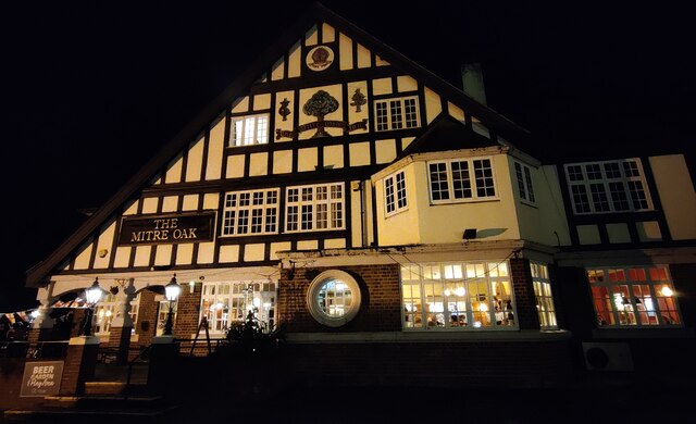
Despite its small size, Acton offers some amenities to its residents. There is a local pub, The New Inn, where locals and visitors can socialize and enjoy traditional English pub food. Additionally, there are several walking trails and footpaths in the surrounding countryside, providing opportunities for outdoor recreation and exploration.

Acton's location in Worcestershire allows for easy access to nearby towns and cities, making it an ideal place for those seeking a peaceful village lifestyle while still being within reach of urban amenities.

If you have any feedback on the listing, please let us know in the comments section below.
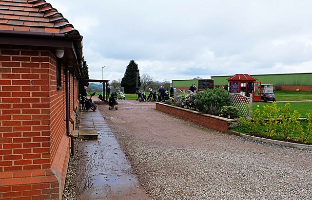
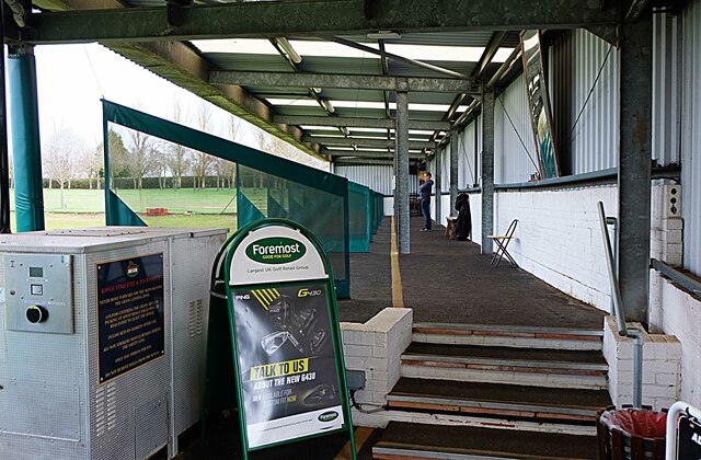
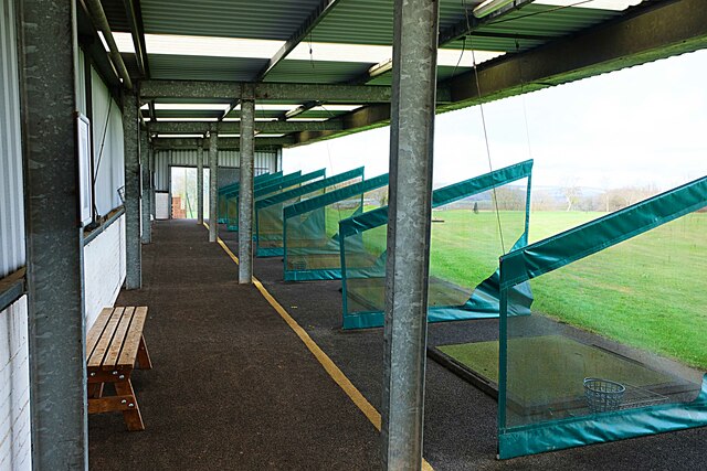
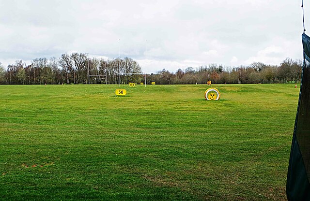
Acton Images

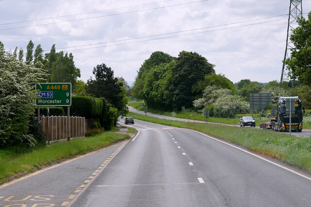
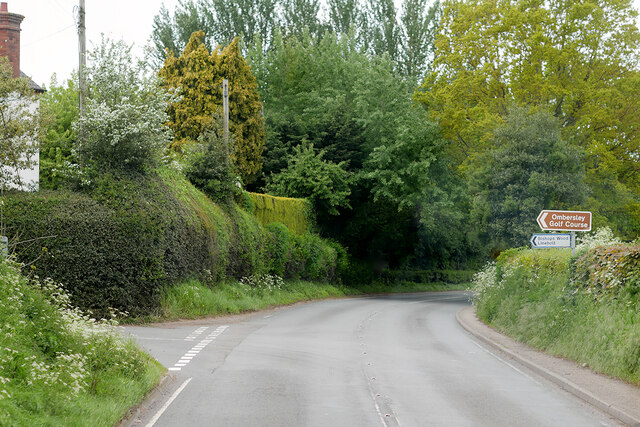
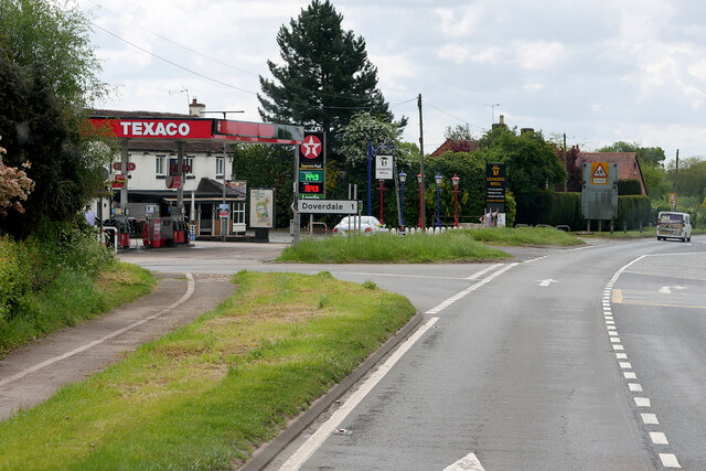
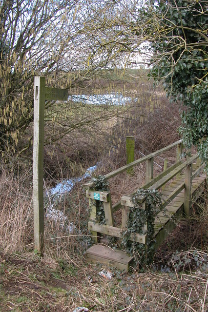
Images are sourced within 2km of 52.304575/-2.2297838 or Grid Reference SO8467. Thanks to Geograph Open Source API. All images are credited.

Concrete Milestone, A449, Crossway Green North of the Mitre Oak pub (<a href="https://www.geograph.org.uk/photo/2974109">SO8468 : The Mitre Oak near Crossway Green, Worcestershire</a>) and almost opposite the oak-framed church of St Bishop's Wood. On the verge of the South bound carriageway of the trunk road. The contextual view showing the reverse of the milestone is <a href="https://www.geograph.org.uk/photo/4427744">SO8468 : Milestone on the A449 south of Hartlebury</a>.

Inscription: A449 / Worcester 9 / 5 Kidderminster / C. C. W.

Milestone Society National ID: WO_WOKD09
Concrete Milestone, A449, Crossway Green
North of the Mitre Oak pub (SO8468 : The Mitre Oak near Crossway Green, Worcestershire) and almost opposite the oak-framed church of St Bishop's Wood. On the verge of the South bound carriageway of the trunk road. The contextual view showing the reverse of the milestone is SO8468 : Milestone on the A449 south of Hartlebury. Inscription: A449 / Worcester 9 / 5 Kidderminster / C. C. W. Milestone Society National ID: WO_WOKD09
Doverdale Mill
Doverdale Mill
The Mitre Oak Inn A large Marston's food pub along the A449 Worcester Road at Crossway Green.
The Mitre Oak Inn
A large Marston's food pub along the A449 Worcester Road at Crossway Green.
Ombersley Golf Club Clubhouse (1), Bishops Wood Road, near Ombersley, Worcs The club was developed by a local farming family who continue to run it. The course opened in late 1991. The impressive Clubhouse includes a bar and restaurant which is open to the public, including those who do not play golf.  There is a large car park in front with access from Bishops Wood Road.

<a href="https://www.geograph.org.uk/photo/7436394">SO8267 : Ombersley Golf Club Clubhouse (2), Bishops Wood Road, near Ombersley, Worcs</a>.
Ombersley Golf Club Clubhouse (1), Bishops Wood Road, near Ombersley, Worcs
The club was developed by a local farming family who continue to run it. The course opened in late 1991. The impressive Clubhouse includes a bar and restaurant which is open to the public, including those who do not play golf. There is a large car park in front with access from Bishops Wood Road. SO8267 : Ombersley Golf Club Clubhouse (2), Bishops Wood Road, near Ombersley, Worcs.
Plough in front of Clubhouse, Ombersley Golf Club, near Ombersley, Worcs The Ombersley Golf Club is located in a very rural area and on former farmland. The plough is a symbol of this.

<a href="https://www.geograph.org.uk/photo/7436273">SO8367 : Ombersley Golf Club Clubhouse (1), Bishops Wood Road, near Ombersley, Worcs</a>.
<a href="https://www.geograph.org.uk/photo/7436394">SO8267 : Ombersley Golf Club Clubhouse (2), Bishops Wood Road, near Ombersley, Worcs</a>.
Plough in front of Clubhouse, Ombersley Golf Club, near Ombersley, Worcs
The Ombersley Golf Club is located in a very rural area and on former farmland. The plough is a symbol of this. SO8367 : Ombersley Golf Club Clubhouse (1), Bishops Wood Road, near Ombersley, Worcs. SO8267 : Ombersley Golf Club Clubhouse (2), Bishops Wood Road, near Ombersley, Worcs.
Ombersley Golf Club Clubhouse (2), Bishops Wood Road, near Ombersley, Worcs The clubhouse includes a bar and restaurant and an extensively stocked golf shop.

<a href="https://www.geograph.org.uk/photo/7436273">SO8367 : Ombersley Golf Club Clubhouse (1), Bishops Wood Road, near Ombersley, Worcs</a>.
Ombersley Golf Club Clubhouse (2), Bishops Wood Road, near Ombersley, Worcs
The clubhouse includes a bar and restaurant and an extensively stocked golf shop. SO8367 : Ombersley Golf Club Clubhouse (1), Bishops Wood Road, near Ombersley, Worcs.
Path by Ombersley Golf Course Clubhouse to Driving Range, near Ombersley, Worcs The path leads to the Driving Range, which is the green building in the distance.
Path by Ombersley Golf Course Clubhouse to Driving Range, near Ombersley, Worcs
The path leads to the Driving Range, which is the green building in the distance.
Golf buggies at Ombersley Golf Club, Bishops Wood Road, near Ombersley, Worcs Golf buggies (a.k.a. golf carts) parked near the Clubhouse.
Golf buggies at Ombersley Golf Club, Bishops Wood Road, near Ombersley, Worcs
Golf buggies (a.k.a. golf carts) parked near the Clubhouse.
Driving range (1) at Ombersley Golf Course, near Ombersley, Worcs The driving range is a facility where golfers can practice their golf swing.

<a href="https://www.geograph.org.uk/photo/7437813">SO8267 : Driving range (2) at Ombersley Golf Course, near Ombersley, Worcs</a>.
<a href="https://www.geograph.org.uk/photo/7439298">SO8267 : Area in front of Driving Range, Ombersley Golf Course, near Ombersley, Worcs</a>.
Driving range (1) at Ombersley Golf Course, near Ombersley, Worcs
Driving range (2) at Ombersley Golf Course, near Ombersley, Worcs Part of the covered driving range at Ombersley Golf Club.

See also:-  <a href="https://www.geograph.org.uk/photo/7437795">SO8267 : Driving range (1) at Ombersley Golf Course, near Ombersley, Worcs</a>.
Driving range (2) at Ombersley Golf Course, near Ombersley, Worcs
Part of the covered driving range at Ombersley Golf Club. See also:- SO8267 : Driving range (1) at Ombersley Golf Course, near Ombersley, Worcs.
Area in front of Driving Range, Ombersley Golf Course, near Ombersley, Worcs The balls from the Driving Range land in this area, which was photographed from the Range. Looking at the photograph enlarged, there are dozens and dozens of balls which at some stage, after play, would have to be collected.

<a href="https://www.geograph.org.uk/photo/7437795">SO8267 : Driving range (1) at Ombersley Golf Course, near Ombersley, Worcs</a>.
Area in front of Driving Range, Ombersley Golf Course, near Ombersley, Worcs
The balls from the Driving Range land in this area, which was photographed from the Range. Looking at the photograph enlarged, there are dozens and dozens of balls which at some stage, after play, would have to be collected. SO8267 : Driving range (1) at Ombersley Golf Course, near Ombersley, Worcs.
A449 near Crossway Green
Stourport Road near Crossway Green
A449 Southbound near Acton
MPK Dunhampton Service Station, Worcester Road
A449, Kidderminster Road near Ombersley
Spice Fusion, Sytchampton Wine bar and restaurant By the A449
Spice Fusion, Sytchampton
Wine bar and restaurant By the A449
Footbridge, Doverdale This footbridge in Doverdale is near the Beehive pub.
Footbridge, Doverdale
This footbridge in Doverdale is near the Beehive pub.
Show me another place!

Acton is located at Grid Ref: SO8467 (Lat: 52.304575, Lng: -2.2297838)

Administrative County: Worcestershire

District: Wychavon

Police Authority: West Mercia

What 3 Words

///filed.universal.tracking. Near Hartlebury, Worcestershire

Nearby Locations

Acton

Related Wikis

Dunhampton

Dunhampton is a village in Worcestershire, England.

Crossway Green

Crossway Green is a village in Worcestershire, England.

Snead's Green

Snead's Green, sometimes written Sneads Green, is an area of Droitwich Spa, Worcestershire, England.Francis Moule, of Snead's Green House, sold the manorial...

Cutnall Green Halt railway station

Cutnall Green Halt was a railway station in Worcestershire, England, serving the nearby village of Hampton Lovett on the Oxford, Worcester and Wolverhampton...

Hartlebury

Hartlebury is a village and civil parish in the Wychavon district of Worcestershire, England. It is 4 miles (6.4 km) south of Kidderminster. The village...

Ombersley and Doverdale

Ombersley and Doverdale is an area in Wychavon district, Worcestershire, England served by a single parish council but comprising the two separate civil...

Doverdale

Doverdale is a small village and civil parish in Worcestershire, England, to the west of Droitwich. It has a parish church. Doverdale Manor is one of largest...

Elmley Lovett

Elmley Lovett in Worcestershire, England is a civil parish whose residents' homes are quite loosely clustered east of its Hartlebury Trading Estate, as...

Nearby Amenities

Located within 500m of 52.304575,-2.2297838
Bus Stop
Acton- A449 North Bound
Bus: yes
Naptan AtcoCode: 2000G502421
Naptan Bearing: N
Naptan CommonName: Acton- A449 North Bound
Naptan Indicator: Adj
Naptan Landmark: Acton Farm
Naptan NaptanCode: wocdpwaw
Naptan Street: Kidderminster Road- A449
Naptan Verified: no
Public Transport: platform
Source: naptan_import
Lat/Long: 52.3054262/-2.2300154
Bus Stop
Acton- A449 South Bound
Bus: yes
Naptan AtcoCode: 2000G502437
Naptan Bearing: SE
Naptan CommonName: Acton- A449 South Bound
Naptan Indicator: Adj
Naptan Landmark: Acton- Farm
Naptan NaptanCode: wocgmgwa
Naptan Street: Kidderminster A449
Naptan Verified: no
Public Transport: platform
Source: naptan_import
Lat/Long: 52.303603/-2.2290527
Post Box
Collection Plate: CP7
Collection Times: Mo-Fr 16:00; Sa 09:30
Historic Operator: Post Office
Post Box Type: lamp
Ref: DY13 67
Royal Cypher: EIIR
Royal Cypher Wikidata: Q33102113
Lat/Long: 52.3044038/-2.2299137
Power: pole
Lat/Long: 52.3069444/-2.233971
Power: pole
Lat/Long: 52.3066845/-2.2336049
Power: pole
Lat/Long: 52.3076349/-2.2349896
Power: pole
Lat/Long: 52.3072806/-2.2344866
Power: pole
Lat/Long: 52.3062909/-2.2330604
Power: pole
Lat/Long: 52.3055939/-2.2320572
Acton Farm
Power: pole
Transformer: distribution
Voltage Primary: 11000
Lat/Long: 52.3050724/-2.2313149
Power: pole
Lat/Long: 52.3049711/-2.2301079
Power: pole
Lat/Long: 52.3048202/-2.2290404
Acton Smallholdings
Power: pole
Transformer: distribution
Voltage Primary: 11000
Lat/Long: 52.3048272/-2.2284892
Power: pole
Lat/Long: 52.3048493/-2.2279689
Acton South
Power: pole
Transformer: distribution
Voltage Primary: 11000
Lat/Long: 52.3028992/-2.2287279
Power: pole
Lat/Long: 52.3037841/-2.2280936
Power: pole
Lat/Long: 52.3044869/-2.2275759
Power: pole
Lat/Long: 52.3048762/-2.2273054
Power: pole
Lat/Long: 52.3048944/-2.2265607
Acton
Power: pole
Transformer: distribution
Voltage Primary: 11000
Lat/Long: 52.3049133/-2.225516
Power: pole
Lat/Long: 52.3047091/-2.2246912
Power: pole
Lat/Long: 52.3045082/-2.2238758
Power: pole
Lat/Long: 52.3043187/-2.2230524
Power: pole
Lat/Long: 52.3040539/-2.2233675
Power: pole
Lat/Long: 52.3029025/-2.2230604
The data included in this document is from www.openstreetmap.org. The data is made available under ODbL.

Have you been to Acton?

Leave your review of Acton below (or comments, questions and feedback).