Over Stowey

Settlement in Somerset Sedgemoor

England

Over Stowey

Bus shelter on A39 north of Nether Stowey
Bus shelter on A39 north of Nether Stowey Credit: David Smith

Over Stowey is a small village located in the county of Somerset, England. Situated on the eastern slopes of the Quantock Hills, it is part of the West Somerset district. The village is roughly 5 miles north of the town of Bridgwater, and around 13 miles west of the county town of Taunton.

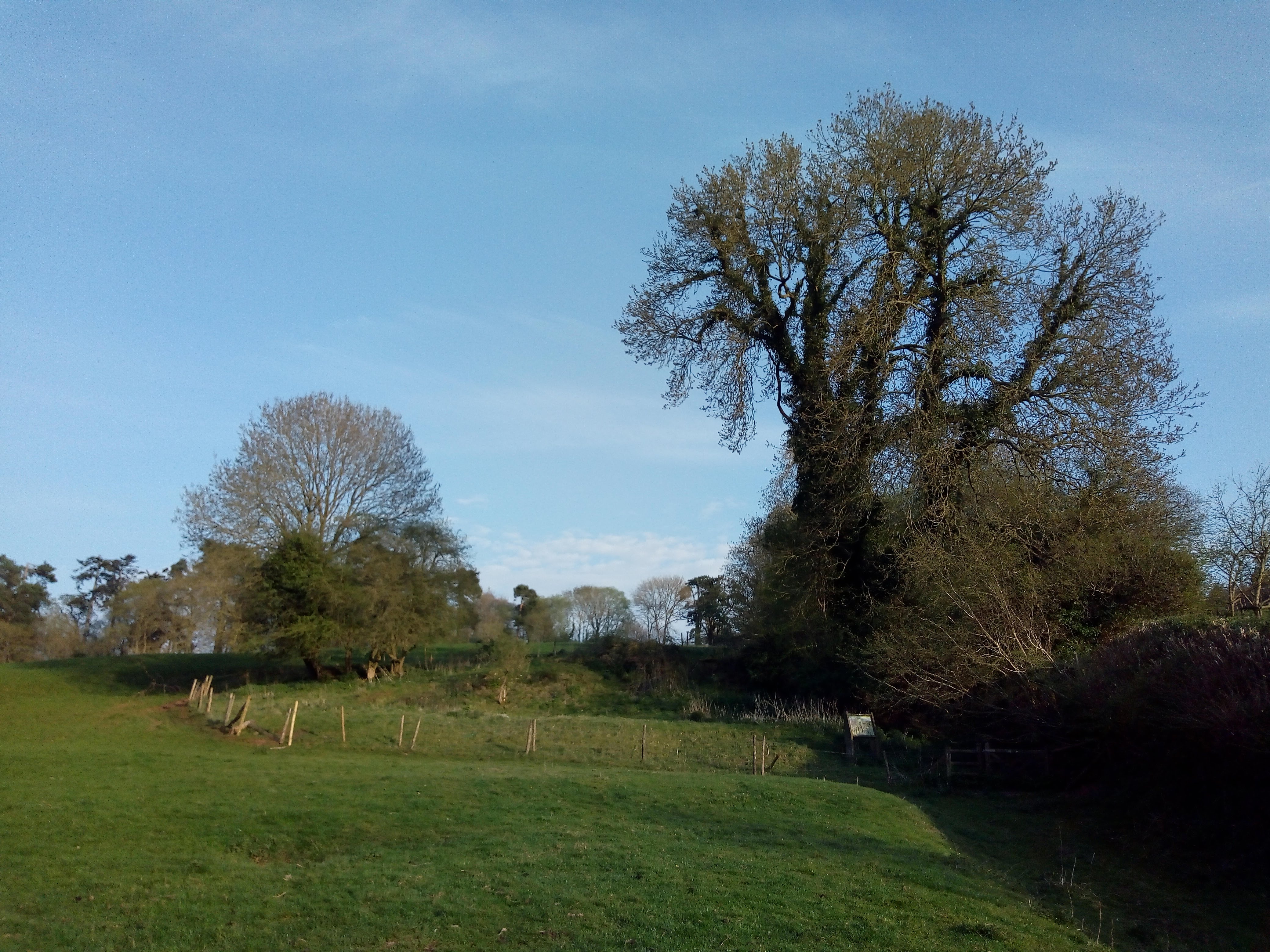
With a population of approximately 400 people, Over Stowey maintains a close-knit community atmosphere. The village is characterized by its charming, traditional stone cottages, many of which date back several centuries. The picturesque surroundings are dominated by rolling hills, lush green fields, and woodlands, making it an idyllic location for nature enthusiasts and hikers.

Over Stowey boasts a rich history, with evidence of human habitation in the area dating back to the Iron Age. The village is also famous for its association with the Romantic poet, Samuel Taylor Coleridge, who lived in nearby Nether Stowey and frequently explored the surrounding countryside, finding inspiration for his literary works.

Facilities in Over Stowey include a primary school, village hall, and a pub. While the village itself is relatively quiet, it benefits from its proximity to larger towns, providing residents with easy access to a wider range of amenities and services.

Overall, Over Stowey offers a tranquil, rural lifestyle with stunning natural scenery, making it an attractive place to live for those seeking a peaceful and picturesque setting in the heart of Somerset.

If you have any feedback on the listing, please let us know in the comments section below.
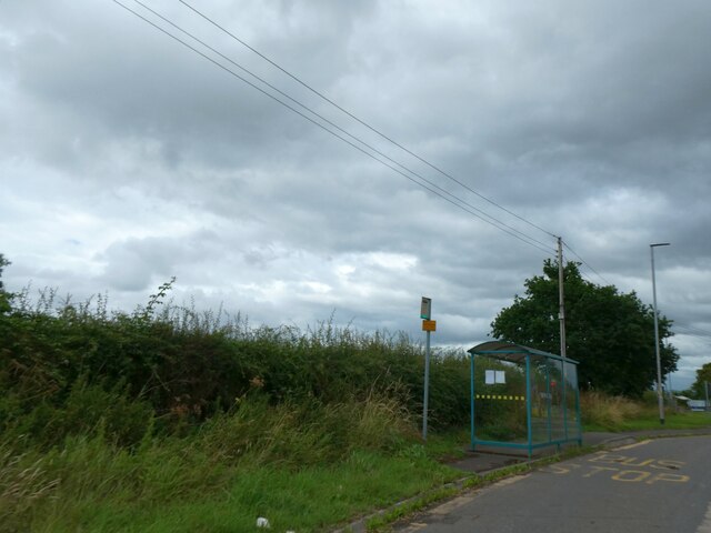
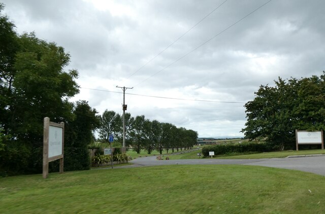
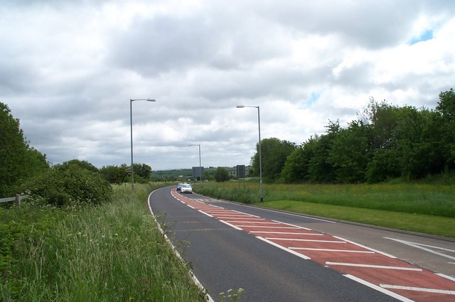
Over Stowey Images

Images are sourced within 2km of 51.139694/-3.165392 or Grid Reference ST1838. Thanks to Geograph Open Source API. All images are credited.

Bus shelter on A39 north of Nether Stowey
Quantock Lakes wedding venue and restaurant
The A39 Nether Stowey bypass Looking east from the junction with the Stogursey road.
The A39 Nether Stowey bypass
Looking east from the junction with the Stogursey road.
"Hartley Meadow" housing development What used to be the site of a poultry packing station on the edge of Nether Stowey has been cleared and packed with new houses instead. Hinkley Point nuclear power station can be seen in the distance.
"Hartley Meadow" housing development
What used to be the site of a poultry packing station on the edge of Nether Stowey has been cleared and packed with new houses instead. Hinkley Point nuclear power station can be seen in the distance.
Footpath Near Nether Stowey
The A39 at Nether Stoweyr
New houses, Theillay Close, Nether Stowey
Glebe Shaft Engine House
Halseycross Farm
Halseycross Farm
Cottage at Halsey Cross
Halsey Cross
Halsey Cross
The A39 near Stowey Rocks
Farmland near Nether Stowey Looking to the right from the same point on footpath BW 22/27 as <a href="https://www.geograph.org.uk/photo/3962080">ST2039 : Farmland around Inwood Farm</a>.
Farmland near Nether Stowey
Looking to the right from the same point on footpath BW 22/27 as ST2039 : Farmland around Inwood Farm.
Glebe Engine House The Buckingham Mine complex.
Glebe Engine House
The Buckingham Mine complex.
Glebe Shaft Engine House Part of the Buckingham Mine. Hinkley Point in the distance.
Glebe Shaft Engine House
Part of the Buckingham Mine. Hinkley Point in the distance.
Glebe Engine House View from footpath to Walford's Gibbett. Bristol Channel beyond.
Glebe Engine House
View from footpath to Walford's Gibbett. Bristol Channel beyond.
Glebe Engine House View along the extent of the Buckingham Mine from near the top of the water adit to Hill's shaft on the ridge in the distance.
Glebe Engine House
View along the extent of the Buckingham Mine from near the top of the water adit to Hill's shaft on the ridge in the distance.
Glebe Shaft Engine House Also ruined miners store.
Glebe Shaft Engine House
Also ruined miners store.
Show me another place!

Over Stowey is located at Grid Ref: ST1838 (Lat: 51.139694, Lng: -3.165392)

Administrative County: Somerset

District: Sedgemoor

Police Authority: Avon and Somerset

What 3 Words

///punters.deep.vented. Near Nether Stowey, Somerset

Related Wikis

William Holland (diarist)

William Holland (9 May 1746 – 17 April 1819) is now best remembered for his diary, which he kept from 1799 to 1818. == Diary == The diary chronicles his...

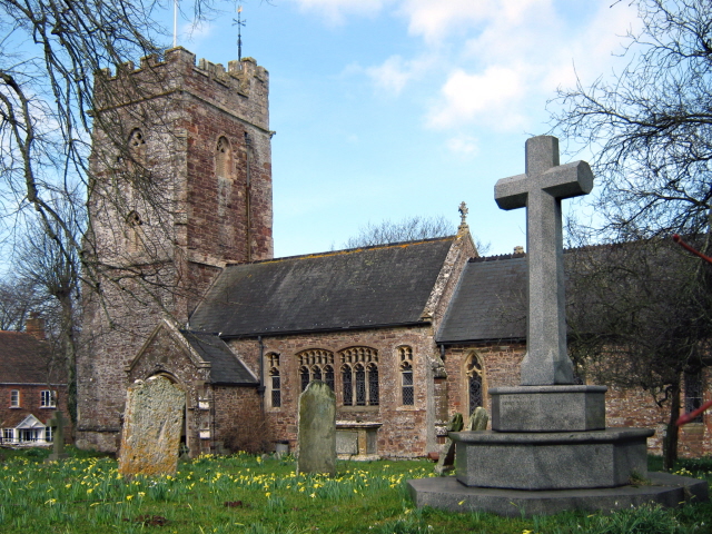
Church of St Peter and St Paul, Over Stowey

Church Of St Peter And St Paul in Over Stowey, Somerset, England, is the Anglican parish church for the ancient parish of Over Stowey, now part of the...

Adscombe Chapel

Adscombe Chapel: The site and remains of a medieval chapel, located 280 metres (920 ft) east of Adscombe Farm in Somerset, UK, situated on the north-west...

Quantock Lodge

Quantock Lodge is a grade II listed nineteenth-century Gothic revival mansion built by Henry Labouchere, 1st Baron Taunton (1798–1869), to the design of...

Stowey Castle

Stowey Castle (or Nether Stowey Castle known locally as The Mount) was a Norman motte-and-bailey castle, built in the 11th century, in the village of Nether...

Coleridge Cottage

Coleridge Cottage is a cottage situated in Nether Stowey, Bridgwater, Somerset, England. It is a grade II* listed building. The 17th century cottage was...

Nether Stowey

Nether Stowey is a large village in Somerset, South West England. It sits in the foothills of the Quantock Hills (England's first Area of Outstanding Natural...

Over Stowey

Over Stowey is a small village and civil parish in Somerset, South West England. A large part of the forest and open heath of the Quantock Hills is within...

Nearby Amenities

Located within 500m of 51.139694,-3.165392
Over Stowey
Place: village
Population: 494
Wikidata: Q2254111
Wikipedia: en:Over Stowey
Lat/Long: 51.1400967/-3.1649335
Public Bookcase
Book Exchange
Booth: K6
Covered: booth
Disused Amenity: telephone
Man Made: telephone_box
Public Bookcase Type: phone_box
Lat/Long: 51.1362059/-3.160906
Post Box
Brand: Royal Mail
Brand Wikidata: Q638098
Brand Wikipedia: en:Royal Mail
Operator: Royal Mail
Operator Wikidata: Q638098
Post Box Type: lamp
Ref: TA5 199
Royal Cypher: EIIR
Royal Cypher Wikidata: Q33102113
Lat/Long: 51.1362375/-3.1608914
Post Box
Brand: Royal Mail
Brand Wikidata: Q638098
Brand Wikipedia: en:Royal Mail
Operator: Royal Mail
Operator Wikidata: Q638098
Post Box Type: wall
Ref: TA5 16
Royal Cypher: EIIR
Royal Cypher Wikidata: Q33102113
Lat/Long: 51.1397279/-3.1652128
Historic: memorial
Lat/Long: 51.1403863/-3.1660844
Bench
Jubilee Seat
Lat/Long: 51.1428862/-3.1699285
Bincombe Cross
Place: locality
Lat/Long: 51.1429586/-3.1702248
Power: pole
Lat/Long: 51.1393621/-3.1720971
Power: pole
Lat/Long: 51.1393781/-3.1705682
Power: pole
Lat/Long: 51.1394076/-3.167654
Power: pole
Lat/Long: 51.1389515/-3.1660326
Power: pole
Lat/Long: 51.1386587/-3.1649905
Power: pole
Lat/Long: 51.1384096/-3.1640826
Power: pole
Lat/Long: 51.1380991/-3.1618711
Power: pole
Lat/Long: 51.1380747/-3.1607929
Power: pole
Lat/Long: 51.1380444/-3.1597669
The data included in this document is from www.openstreetmap.org. The data is made available under ODbL.

Have you been to Over Stowey?

Leave your review of Over Stowey below (or comments, questions and feedback).