Over Stratton

Settlement in Somerset South Somerset

England

Over Stratton

St. Peter and St. Paul, South Petherton, Somerset Western elevation
St. Peter and St. Paul, South Petherton, Somerset Credit: Ray Jennings

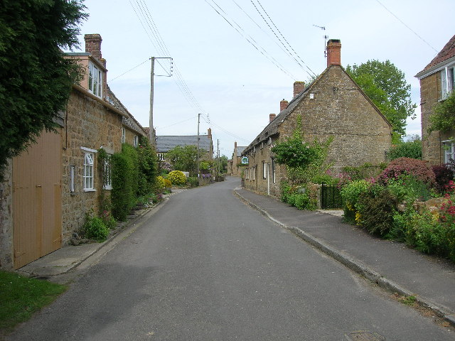
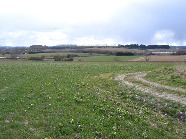
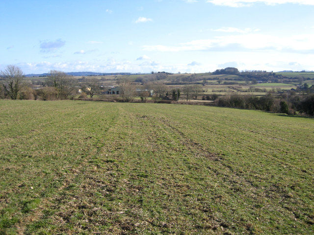
Over Stratton is a small village located in the county of Somerset, England. Situated approximately 3 miles east of the market town of South Petherton, Over Stratton is nestled in the beautiful countryside of the South Somerset District. The village is part of the Martock civil parish and is surrounded by picturesque landscapes, including rolling hills and farmland.

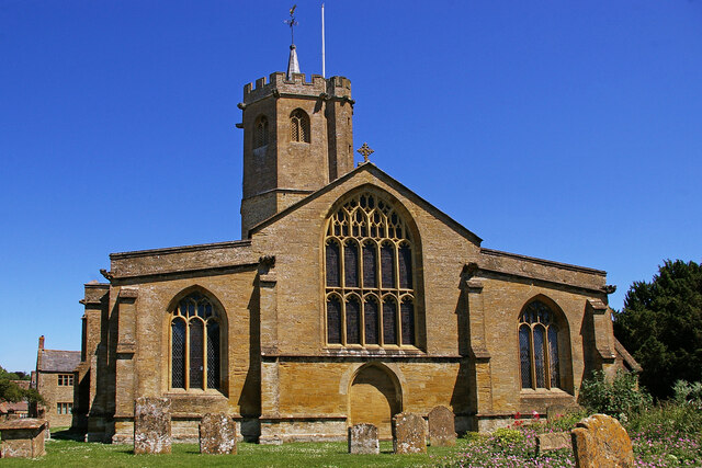
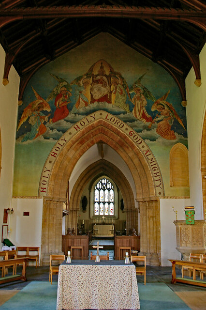
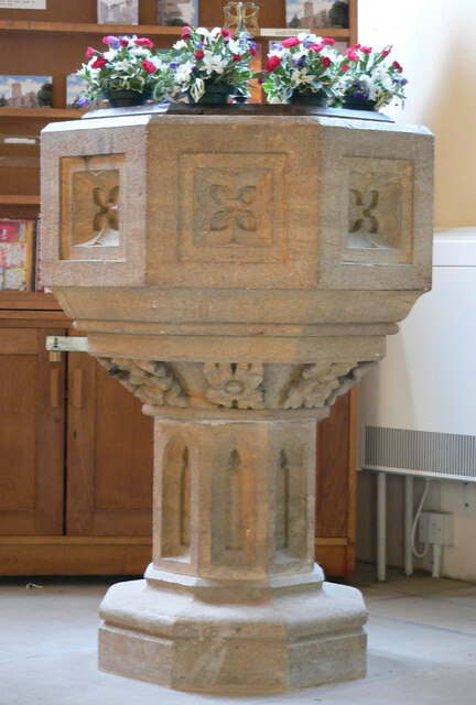
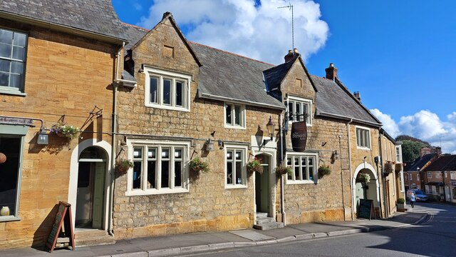
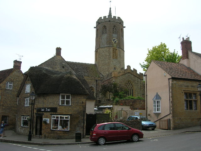
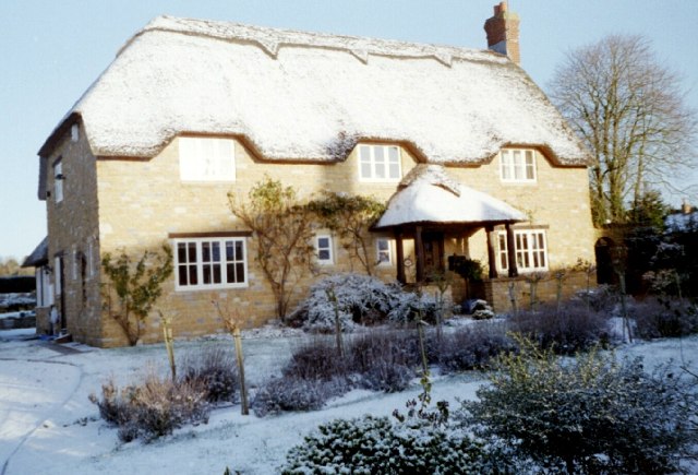
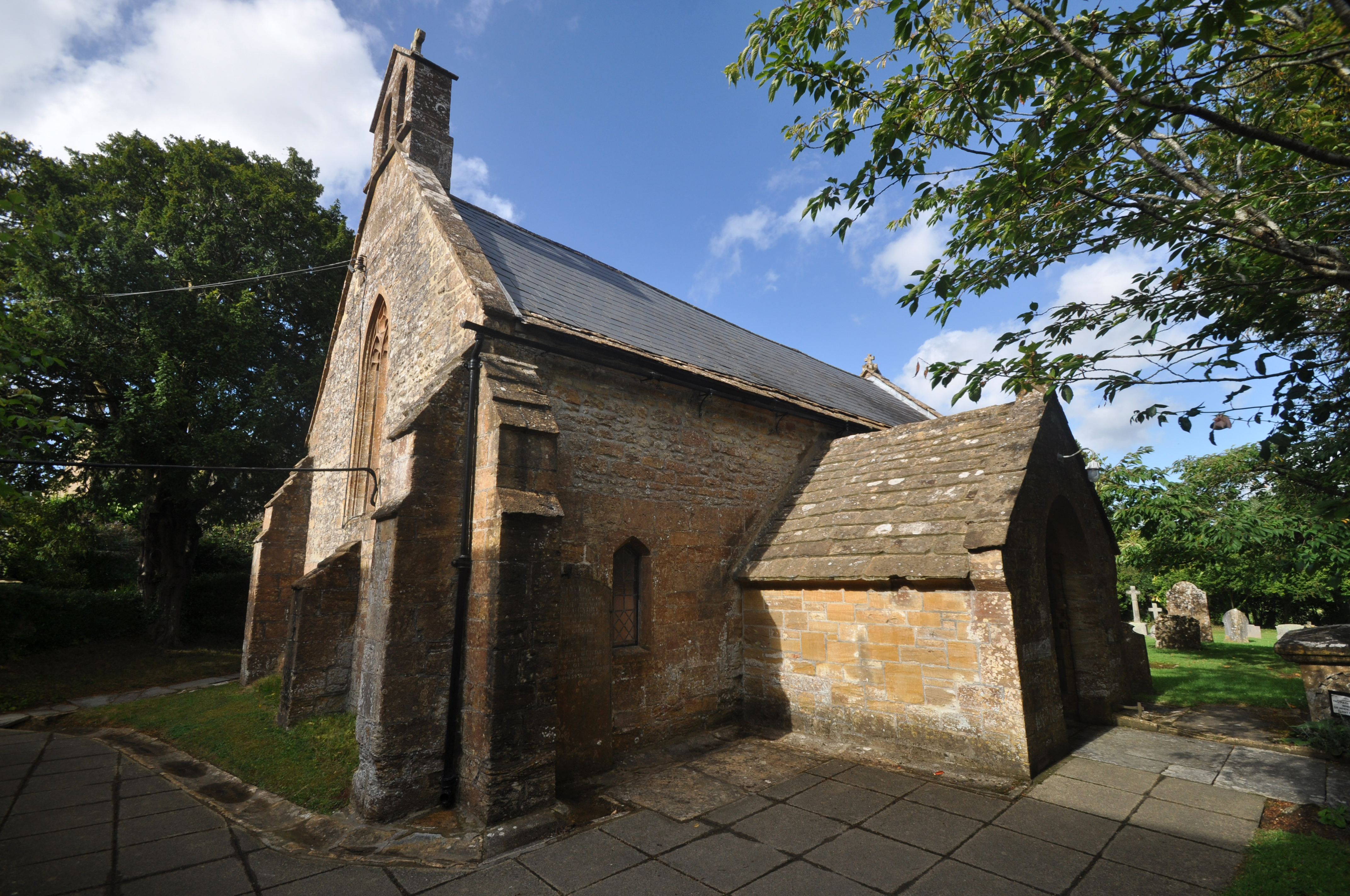
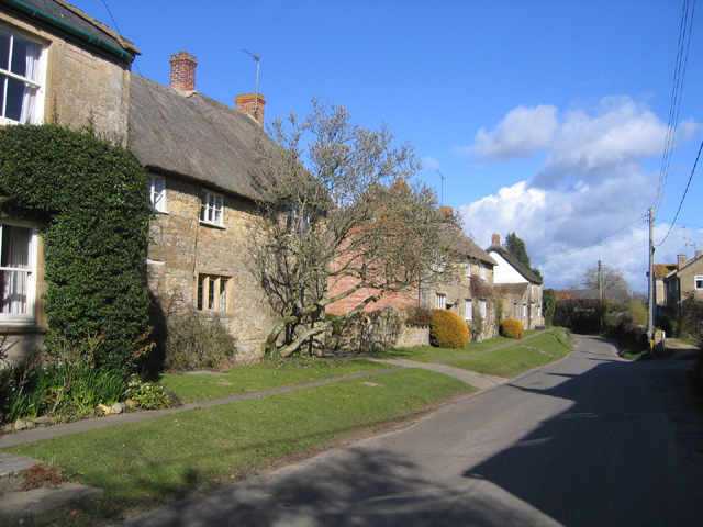
With a population of around 400 residents, Over Stratton retains a close-knit community atmosphere. The village is characterized by its charming stone cottages, historic buildings, and a quaint village green. The St. Michael and All Angels Church, dating back to the 14th century, is a prominent landmark in the village.

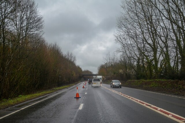
Despite its rural location, Over Stratton benefits from good transport links. The A303, a major road connecting the southwest and southeast of England, is easily accessible, providing convenient travel options for residents. The nearby market towns of Yeovil and Taunton offer a range of amenities, including shopping centers, schools, and healthcare facilities.

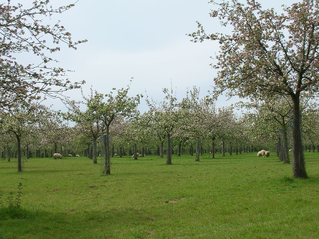
The village is surrounded by a variety of natural attractions, making it an ideal location for outdoor enthusiasts. Nearby attractions include Ham Hill Country Park, a designated Area of Outstanding Natural Beauty, offering scenic walks and panoramic views of the surrounding countryside. Additionally, the picturesque Somerset Levels, renowned for their diverse wildlife and wetland habitats, are within easy reach.

Overall, Over Stratton offers a peaceful and idyllic setting for residents, combining the benefits of village life with easy access to nearby towns and natural beauty.

If you have any feedback on the listing, please let us know in the comments section below.

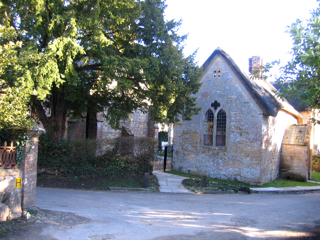
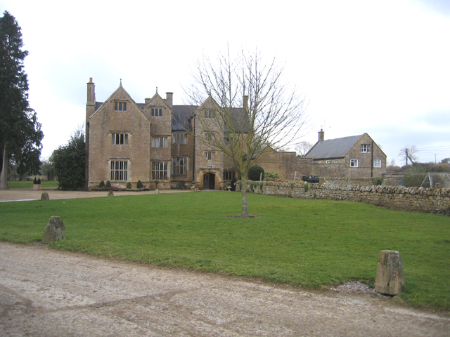
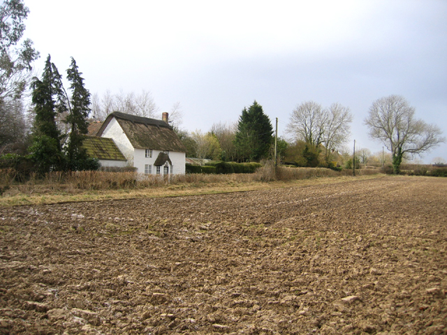
Over Stratton Images

Images are sourced within 2km of 50.934061/-2.801885 or Grid Reference ST4315. Thanks to Geograph Open Source API. All images are credited.

St. Peter and St. Paul, South Petherton, Somerset Western elevation
St. Peter and St. Paul, South Petherton, Somerset
Western elevation
St. Peter and St. Paul, South Petherton, Somerset
St. Peter and St. Paul, South Petherton, Somerset The Font
St. Peter and St. Paul, South Petherton, Somerset
The Font
South Petherton : A303 Looking along the A303.
South Petherton : A303
Looking along the A303.
The Brewer's Arms
The Brewer's Arms
Pip's Railway Carriage Cafe
South Petherton The 15th century church of St Peter and St Paul in the large village of South Petherton. The octagonal tower shown is  one of the biggest in the country.
South Petherton
The 15th century church of St Peter and St Paul in the large village of South Petherton. The octagonal tower shown is one of the biggest in the country.
Over Stratton The small village of Over Stratton showing the Royal Oak pub on the right of the photo.
Over Stratton
The small village of Over Stratton showing the Royal Oak pub on the right of the photo.
Cider apple orchards at Over Stratton Somerset is still famous for its cider, although there are not as many apple orchards now.
Cider apple orchards at Over Stratton
Somerset is still famous for its cider, although there are not as many apple orchards now.
Fruit Orchard Orchard just outside of Over Stratton
Fruit Orchard
Orchard just outside of Over Stratton
Roman Mosaic at Lopen Detail from a 4th C Roman mosaic found at Mill House Lopen in 2001. Full details can be found at <span class="nowrap"><a title="http://www.lopen.btck.co.uk/LopensRomanMosaic" rel="nofollow ugc noopener" href="http://www.lopen.btck.co.uk/LopensRomanMosaic">Link</a><img style="margin-left:2px;" alt="External link" title="External link - shift click to open in new window" src="https://s1.geograph.org.uk/img/external.png" width="10" height="10"/></span>
Roman Mosaic at Lopen
Detail from a 4th C Roman mosaic found at Mill House Lopen in 2001. Full details can be found at LinkExternal link
A Lopen house in winter Winter casts its magic on this house in Lopen Somerset
A Lopen house in winter
Winter casts its magic on this house in Lopen Somerset
View SE from Carey's Hollow, South Petherton, Somerset from the start of Smokeclose Lane public footpath in the right foreground.
View SE from Carey's Hollow, South Petherton, Somerset
from the start of Smokeclose Lane public footpath in the right foreground.
Cottages, Church Street, Lopen, Somerset – view NE.
Cottages, Church Street, Lopen, Somerset
– view NE.
View SSE from above Lopen, Somerset – looking over Rydon Lane and the Lopen Brook valley.
View SSE from above Lopen, Somerset
– looking over Rydon Lane and the Lopen Brook valley.
Lopen All Saints' church, Somerset home of the reconstructed Roman Mosaic pavement <span class="nowrap"><a title="http://www.lopenmosaic.co.uk/index.cfm" rel="nofollow ugc noopener" href="http://www.lopenmosaic.co.uk/index.cfm">Link</a><img style="margin-left:2px;" alt="External link" title="External link - shift click to open in new window" src="https://s1.geograph.org.uk/img/external.png" width="10" height="10"/></span> .
Lopen All Saints' church, Somerset
home of the reconstructed Roman Mosaic pavement LinkExternal link .
Wigborough Manor, Wigborough, South Petherton, Somerset built in 1585 by Henry Compton, an example of a small classic Elizabethan manor house; the date has been confirmed by the Oxford Dendrochronology Laboratory.
Wigborough Manor, Wigborough, South Petherton, Somerset
built in 1585 by Henry Compton, an example of a small classic Elizabethan manor house; the date has been confirmed by the Oxford Dendrochronology Laboratory.
Little Thatch cottage, Pound, South Petherton, Somerset – view SW from Drayton Lane.
Little Thatch cottage, Pound, South Petherton, Somerset
– view SW from Drayton Lane.
Show me another place!

Over Stratton is located at Grid Ref: ST4315 (Lat: 50.934061, Lng: -2.801885)

Administrative County: Somerset

District: South Somerset

Police Authority: Avon and Somerset

What 3 Words

///bedspread.faster.salad. Near South Petherton, Somerset

Related Wikis

Over Stratton

Over Stratton is a small village in the district of South Somerset, Somerset, England. It is part of the parish of South Petherton along with the nearby...

Wigborough Manor House

Wigborough Manor House is a manor house in South Petherton, Somerset, England. It was partly built in 1585, although it was never completed to the original...

Church of All Saints, Lopen

The Anglican Church of All Saints in Lopen, Somerset, England was built in the 12th century. It is a Grade II* listed building. == History == The church...

Lopen

Lopen is a village and civil parish in the South Somerset district of Somerset, England, situated 8 miles (12.9 km) west of Yeovil. The village has a population...

Lopen Roman Mosaic

The Lopen Roman Mosaic is a Roman mosaic, probably from a Roman villa, in the village of Lopen, Somerset, England.It was discovered in 2001 by George Caton...

Church of St Peter and St Paul, South Petherton

The Church of St Peter and St Paul is the Church of England parish church for the village of South Petherton, Somerset, England. The present church is...

South Petherton

South Petherton is a large village and civil parish in the South Somerset district of Somerset, England, located 5 miles (8 km) east of Ilminster and 5...

Coke Memorial Methodist Church

Coke Memorial Methodist Church is a former Methodist church in South Petherton, Somerset, England. Designed by Alexander Lauder, it was built in 1881-82...

Nearby Amenities

Located within 500m of 50.934061,-2.801885
Over Stratton
Alt Name: Stratton
Old Name: Upper Stratton
Place: village
Population: 311
Lat/Long: 50.9331036/-2.8048445
Description: Dog waste bin
Lat/Long: 50.932423/-2.8061188
Parking
Access: customers
Parking: surface
Lat/Long: 50.93641/-2.8061734
Bus Stop
Over Stratton Royal Oak
Bus: yes
Naptan AtcoCode: 3600SOA14230
Naptan Bearing: N
Naptan CommonName: Opposite Royal Oak
Naptan Indicator: N-bound
Naptan NaptanCode: sotdmjwj
Naptan Street: Main Road
Naptan Verified: no
Public Transport: platform
Lat/Long: 50.9354341/-2.8057002
Information: guidepost
Tourism: information
Lat/Long: 50.9322966/-2.8039569
Post Box
Collection Times: Mo-Fr 09:00; Sa 07:00
Post Box Type: lamp
Ref: TA13 96
Royal Cypher: EIIR
Lat/Long: 50.9334488/-2.8050276
Socket Stone
Natural: stone
Lat/Long: 50.9321732/-2.8049743
Waste Basket
Collection Times: Tu
Waste: dog_excrement
Lat/Long: 50.9324114/-2.806182
Yeabridge Court
Landuse: residential
Residential: apartments
Lat/Long: 50.9335064/-2.7948027
Events Venue
The Pig Pen
Addr City: South Petherton
Addr Street: Bull Bridge Lane
Website: http://www.thepigpen.net/
Lat/Long: 50.930502/-2.8048871
The data included in this document is from www.openstreetmap.org. The data is made available under ODbL.

Have you been to Over Stratton?

Leave your review of Over Stratton below (or comments, questions and feedback).