Bincombe Green
Downs, Moorland in Somerset Sedgemoor
England
Bincombe Green
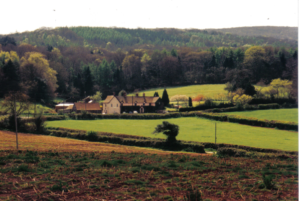
Bincombe Green is a small village located in the county of Somerset in southwest England. Situated on the northern slopes of the Somerset Downs, it is surrounded by beautiful rolling hills and picturesque countryside. The village is part of the larger Bincombe Parish, which also includes the nearby hamlets of Higher Bincombe and Lower Bincombe.
The landscape of Bincombe Green is predominantly characterized by its expansive moorland. The area is covered in large stretches of open grassland, dotted with patches of heather and gorse. This unique habitat supports a variety of wildlife, including birds, small mammals, and reptiles.
The village itself is relatively small, with a population of around 200 residents. It consists of a cluster of traditional stone houses, many of which date back several centuries. The architecture reflects the rural charm of the area, with thatched roofs and quaint gardens adding to the village's character.
Despite its small size, Bincombe Green has a strong sense of community. The village has a local pub, which serves as a gathering place for residents and visitors alike. There are also several footpaths and bridleways that crisscross the surrounding countryside, providing opportunities for outdoor activities such as walking and horseback riding.
Overall, Bincombe Green is a peaceful and idyllic village, offering a tranquil retreat for those seeking to escape the hustle and bustle of city life. Its natural beauty, combined with its close-knit community, makes it a charming destination for both residents and tourists.
If you have any feedback on the listing, please let us know in the comments section below.
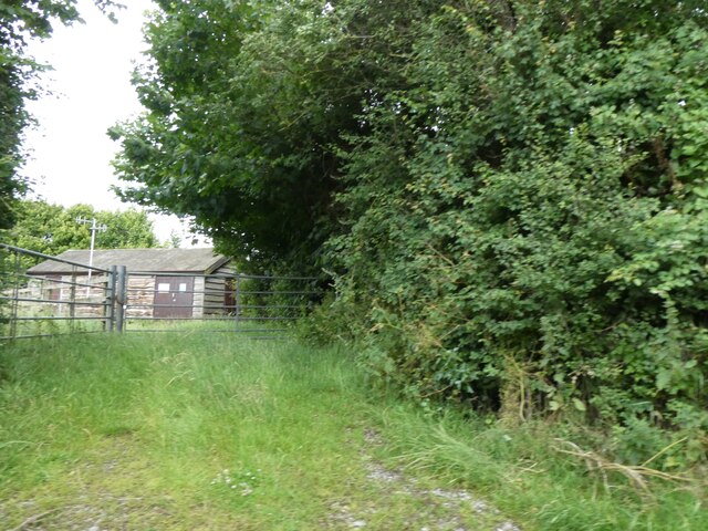
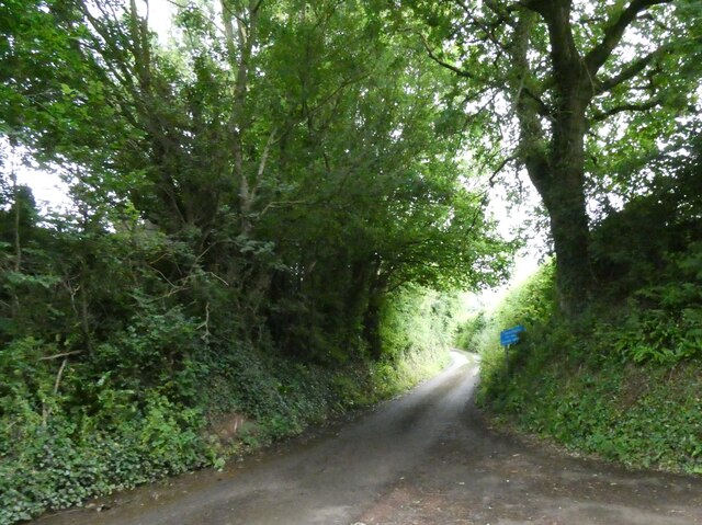
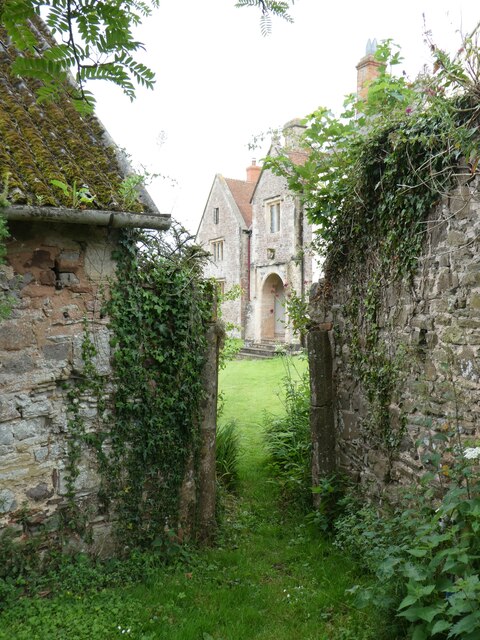
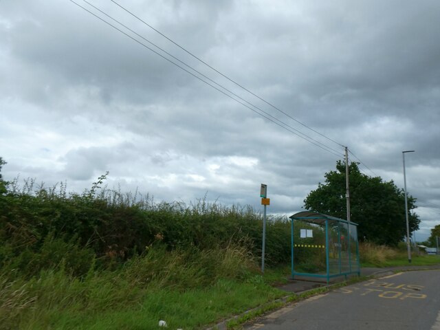
Bincombe Green Images
Images are sourced within 2km of 51.143026/-3.16945 or Grid Reference ST1838. Thanks to Geograph Open Source API. All images are credited.


Bincombe Green is located at Grid Ref: ST1838 (Lat: 51.143026, Lng: -3.16945)
Administrative County: Somerset
District: Sedgemoor
Police Authority: Avon and Somerset
What 3 Words
///courts.torch.comedians. Near Nether Stowey, Somerset
Nearby Locations
Related Wikis
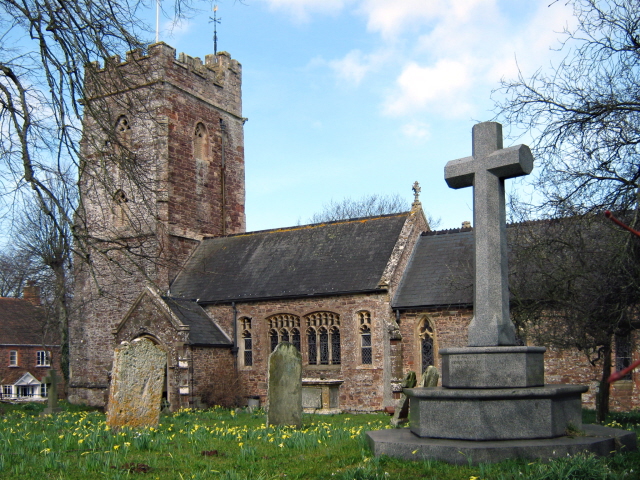
Church of St Peter and St Paul, Over Stowey
Church Of St Peter And St Paul in Over Stowey, Somerset, England, is the Anglican parish church for the ancient parish of Over Stowey, now part of the...

William Holland (diarist)
William Holland (9 May 1746 – 17 April 1819) is now best remembered for his diary, which he kept from 1799 to 1818. == Diary == The diary chronicles his...

Stowey Castle
Stowey Castle (or Nether Stowey Castle known locally as The Mount) was a Norman motte-and-bailey castle, built in the 11th century, in the village of Nether...
Adscombe Chapel
Adscombe Chapel: The site and remains of a medieval chapel, located 280 metres (920 ft) east of Adscombe Farm in Somerset, UK, situated on the north-west...

Quantock Lodge
Quantock Lodge is a grade II listed nineteenth-century Gothic revival mansion built by Henry Labouchere, 1st Baron Taunton (1798–1869), to the design of...

Coleridge Cottage
Coleridge Cottage is a cottage situated in Nether Stowey, Bridgwater, Somerset, England. It is a grade II* listed building. The 17th century cottage was...

Nether Stowey
Nether Stowey is a large village in Somerset, South West England. It sits in the foothills of the Quantock Hills (England's first Area of Outstanding Natural...
Over Stowey
Over Stowey is a small village and civil parish in Somerset, South West England. A large part of the forest and open heath of the Quantock Hills is within...
Nearby Amenities
Located within 500m of 51.143026,-3.16945Have you been to Bincombe Green?
Leave your review of Bincombe Green below (or comments, questions and feedback).