Bildershaw

Settlement in Durham

England

Bildershaw

Footpath along old railway line near Brussleton
Footpath along old railway line near Brussleton Credit: Dylan Chester

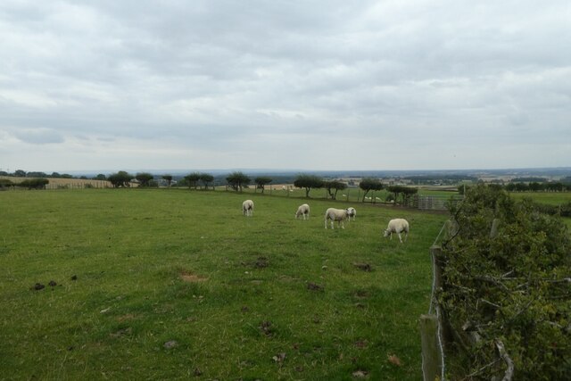
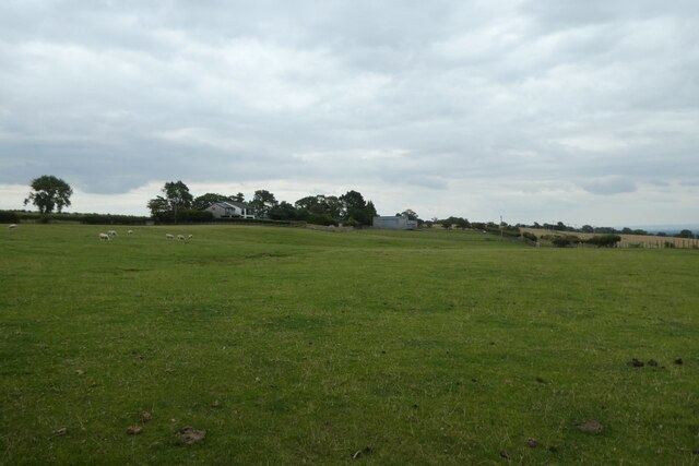
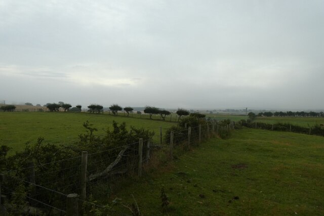
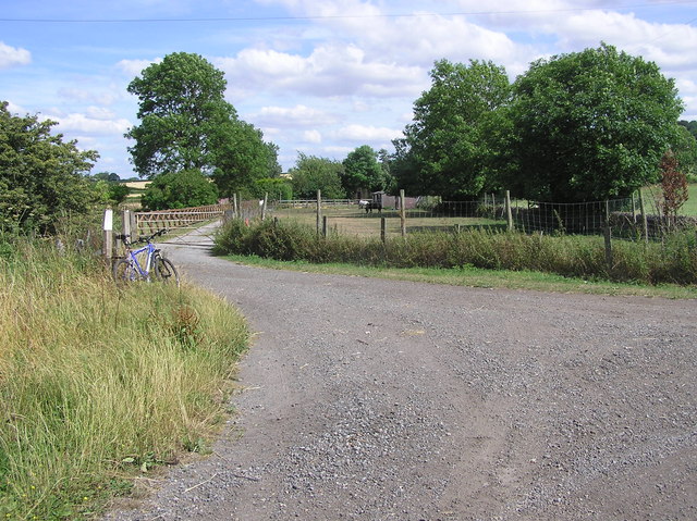
Bildershaw is a small village located in County Durham, in the northeast of England. It is situated near the town of Bishop Auckland and is surrounded by picturesque countryside, providing residents with a peaceful and rural setting.

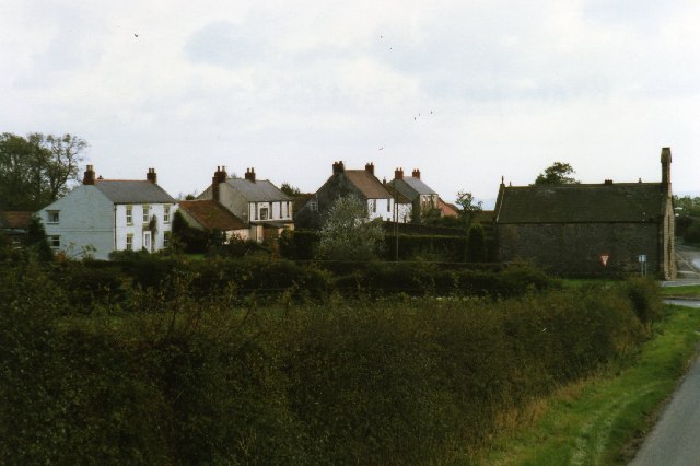
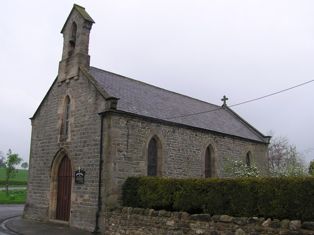
The village of Bildershaw is known for its historic architecture, with many of the buildings dating back to the 18th and 19th centuries. The village church, St. Mary's, is a prominent feature of the area and is a popular destination for visitors interested in the local history.

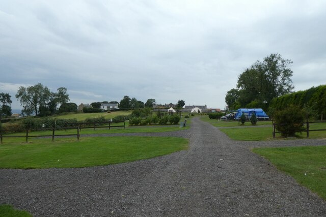
Bildershaw is a close-knit community with a population of around 500 residents. The village has a primary school, a village hall, and a few small shops and businesses that cater to the needs of the local population.

The surrounding countryside offers plenty of opportunities for outdoor activities such as hiking, cycling, and fishing. The nearby River Wear provides a scenic backdrop for leisurely walks and picnics.

Overall, Bildershaw is a charming and idyllic village that offers a peaceful retreat from the hustle and bustle of city life.

If you have any feedback on the listing, please let us know in the comments section below.
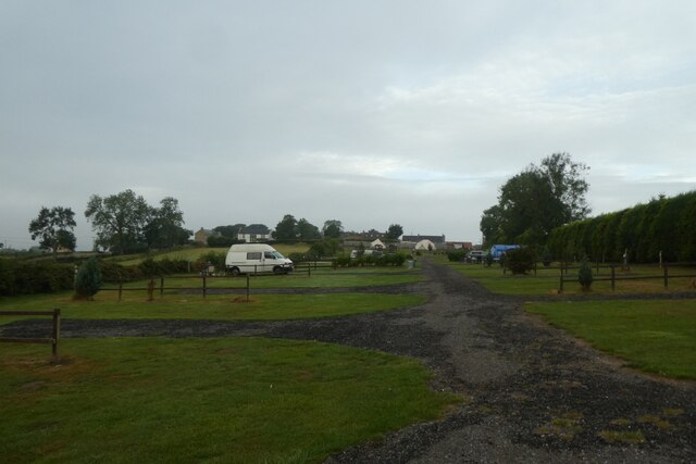
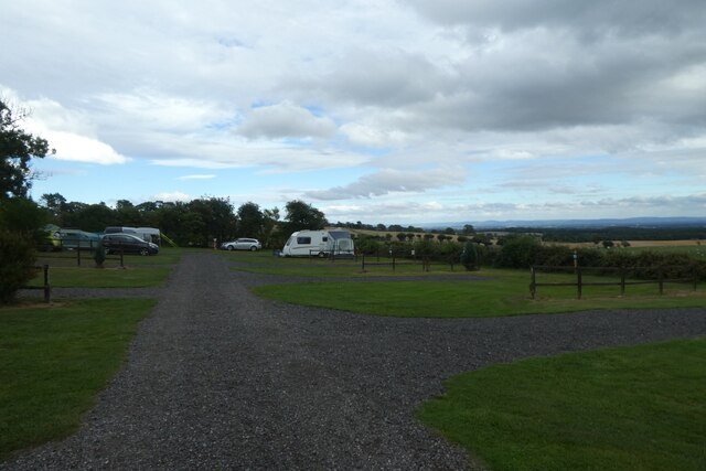
Bildershaw Images

Images are sourced within 2km of 54.611964/-1.686348 or Grid Reference NZ2024. Thanks to Geograph Open Source API. All images are credited.

Footpath along old railway line near Brussleton
Sheep field beside Countryview Campsite Sheep in a field next to the campsite in Bolam.
Sheep field beside Countryview Campsite
Sheep in a field next to the campsite in Bolam.
Field beside Brownside Lane Looking across a field of sheep and horses from Countryview Campsite.
Field beside Brownside Lane
Looking across a field of sheep and horses from Countryview Campsite.
Countryview Campsite Looking along the service road through the campsite behind the pub.
Countryview Campsite
Looking along the service road through the campsite behind the pub.
Field beside Countryview Campsite Looking across a field to the south of the campsite in the early morning with a mist hanging over the valley.
Field beside Countryview Campsite
Looking across a field to the south of the campsite in the early morning with a mist hanging over the valley.
Morning at Countryview Campsite Looking across part of the Countryview Campsite.
Morning at Countryview Campsite
Looking across part of the Countryview Campsite.
Countryview campsite Looking across part of the campsite behind the public house.
Countryview campsite
Looking across part of the campsite behind the public house.
Stone sleepers on Brusselton Incline The original route of the Stockton & Darlington Railway from Witton Park Colliery to Stockton untilised two rope hauled inclines, one at Brusselton and one near the pit at Witton Park. Brusselton incline took the railway over the low hills that form the watershed between the Wear and Tees valleys between Shildon and Bishop Auckland. A permanent stationary engine at the summit was used to power the rope worked incline. The Brusselton Incline remained in use until 1856. By that time the S&DR had tunnelled under the watershed when creating the branch to Bishop Auckland and Crook. A new line on the level was therefore built from the north end of the tunnel making Brusselton Incline redundant. The image shows original stone sleepers in situ on the northern side of Brusselton Incline.
Stone sleepers on Brusselton Incline
The original route of the Stockton & Darlington Railway from Witton Park Colliery to Stockton untilised two rope hauled inclines, one at Brusselton and one near the pit at Witton Park. Brusselton incline took the railway over the low hills that form the watershed between the Wear and Tees valleys between Shildon and Bishop Auckland. A permanent stationary engine at the summit was used to power the rope worked incline. The Brusselton Incline remained in use until 1856. By that time the S&DR had tunnelled under the watershed when creating the branch to Bishop Auckland and Crook. A new line on the level was therefore built from the north end of the tunnel making Brusselton Incline redundant. The image shows original stone sleepers in situ on the northern side of Brusselton Incline.
Haggs Lane, Brusselton Wood
Bridleway above High West Thickley Farm
Leg's Cross
Leg's Cross
Brusselton Incline rising to the west The Brusselton Incline rising to the small settlement of Brusselton where there was a stationary steam engine used in the hauling and lowering of coal wagons on this, an original part of the Stockton and Darlington Railway.
The stone sleepers have chiselled depressions in which sat the 'shoes' for holding the fish-bellied rails, every shoe being attached by four bolts. The sleepers are not of course in their original placements, the scene as it now appears being a restoration.
Brusselton Incline rising to the west
The Brusselton Incline rising to the small settlement of Brusselton where there was a stationary steam engine used in the hauling and lowering of coal wagons on this, an original part of the Stockton and Darlington Railway. The stone sleepers have chiselled depressions in which sat the 'shoes' for holding the fish-bellied rails, every shoe being attached by four bolts. The sleepers are not of course in their original placements, the scene as it now appears being a restoration.
Brusselton incline descending eastwards The eastern part of the Brusselton Incline seen from an abutment of an accommodation bridge east of the settlement of Brusselton itself.
Brusselton incline descending eastwards
The eastern part of the Brusselton Incline seen from an abutment of an accommodation bridge east of the settlement of Brusselton itself.
Stone sleepers just east of Brusselton Brusselton is a small settlement in County Durham on the original line of the Stockton to Darlington Railway; the stone sleepers are part of that route. 'Shoes' were bolted to the sleepers to which fish-bellied rails were attached. At the centre of the image in the distance, there's the sunlit buttress of an accommodation bridge, the deck of which has been lost.
Stone sleepers just east of Brusselton
Brusselton is a small settlement in County Durham on the original line of the Stockton to Darlington Railway; the stone sleepers are part of that route. 'Shoes' were bolted to the sleepers to which fish-bellied rails were attached. At the centre of the image in the distance, there's the sunlit buttress of an accommodation bridge, the deck of which has been lost.
Bolam village
Bolam village
St. Andrew's Church : Bolam Parish Church of Heighington : Built 1835.
St. Andrew's Church : Bolam
Parish Church of Heighington : Built 1835.
Lane to Bolam  Quarry The quarry became a land-fill site, now closed.
Lane to Bolam Quarry
The quarry became a land-fill site, now closed.
Disused Railway : Bankfoot Farm Stockton and Darlington Railway and road to Bankfoot Farm. Off to the left on Burnshouse Lane, the old St.Helens (Auckland) Colliery Branch Line.
Disused Railway : Bankfoot Farm
Stockton and Darlington Railway and road to Bankfoot Farm. Off to the left on Burnshouse Lane, the old St.Helens (Auckland) Colliery Branch Line.
Show me another place!

Bildershaw is located at Grid Ref: NZ2024 (Lat: 54.611964, Lng: -1.686348)

Unitary Authority: County Durham

Police Authority: Durham

What 3 Words

///ferried.wiggles.executive. Near Shildon, Co. Durham

Nearby Locations

Bildershaw

Related Wikis

Bildershaw

Bildershaw is a village in County Durham, England. It is situated on the A68 road between Darlington and West Auckland. Bildershaw is primarily an agricultural...

Royal Oak, County Durham

Royal Oak is a hamlet in the west of Heighington civil parish, in the Borough of Darlington, County Durham, in England. It is situated to the north west...

Legs Cross

Legs Cross is an Anglo-Saxon cross in the parish of Bolam, County Durham, England, about 4 miles (6.4 km) north of Piercebridge on the Pilgrims' Way (the...

Bolam, County Durham

Bolam is a small village located in County Durham, England. The village population (including Hilton and Morton Tinmouth) at the 2011 census was 209. It...

Related Videos

Countryview Campsite & Countryman Bolam and Piercebridge Roman Bridge

We stay at The Countryman and Countryview campsite at Bolam in County Durham in the North East of England. While we're ...

Crazy Rides At Shildon Fun Fair! | Vlog

funfair #fairground #crazy #vlogs Join Tom and Stace as we check out Murphy's fun fair based in Shildon! This fair may be on the ...

Murphy's Fun Fair At Hackworth Park - Shildon Vlog (4th June 2021)

Join Stephen, Sharon & Raymond As We Visit Shildon For A Murphy's Fun Fair, We Take Rides Twister, Paratrooper & Waltzers.

Sainsbury's Smart charge new network, Kempower Hub 4 X 240/120kw

we go visit the new Sainsbury's charging hub in Bishop Auckland. there's queues for their petrol station given how cheap it is, will ...

Nearby Amenities

Located within 500m of 54.611964,-1.686348
Bildershaw
Place: hamlet
Source: NPE
Wikidata: Q9171669
Wikipedia: en:Bildershaw
Lat/Long: 54.6128343/-1.6880712
Widehope Farm
Place: farm
Source: OS OpenData StreetView
Lat/Long: 54.6112274/-1.6862941
Blue House Farm
Place: farm
Source: OS OpenData StreetView
Lat/Long: 54.6127558/-1.6902691
Power: pole
Lat/Long: 54.6155757/-1.6817437
Power: pole
Lat/Long: 54.6137126/-1.6815573
Power: pole
Lat/Long: 54.6132692/-1.681788
Power: pole
Lat/Long: 54.6126673/-1.6816847
Power: pole
Lat/Long: 54.6121221/-1.6815975
Generator Method: wind_turbine
Generator Source: wind
Power: generator
Lat/Long: 54.612557/-1.6825014
The data included in this document is from www.openstreetmap.org. The data is made available under ODbL.

Have you been to Bildershaw?

Leave your review of Bildershaw below (or comments, questions and feedback).