Bilby
Settlement in Nottinghamshire Bassetlaw
England
Bilby

Bilby is a small village located in the county of Nottinghamshire, England. Situated approximately 5 miles east of Retford, the village is nestled within a primarily rural landscape, characterized by gently rolling hills and lush farmland.
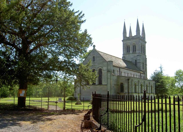
The village itself is home to a small population, with a tight-knit community that takes pride in its heritage and local traditions. The architecture of Bilby reflects its long history, with many buildings dating back to the 17th and 18th centuries. The village church, St. Martin's, stands as a prominent feature, boasting a beautiful Norman tower that acts as a symbol of Bilby's past.
Despite its small size, Bilby offers a range of amenities to its residents. These include a local pub, The Bilby Arms, which serves as a social hub for villagers and visitors alike. The surrounding countryside provides ample opportunities for outdoor activities such as walking, cycling, and horseback riding.
Bilby is conveniently located near the A620 road, which allows for easy access to nearby towns and cities. The bustling market town of Retford offers a wider range of services and amenities, including shops, schools, and healthcare facilities.
Overall, Bilby is a charming village that offers a peaceful and picturesque setting for its residents. Its rich history, tight-knit community, and beautiful countryside make it an attractive place to live for those seeking a quieter, rural lifestyle.
If you have any feedback on the listing, please let us know in the comments section below.
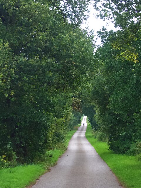
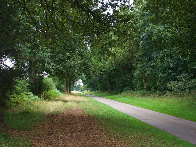
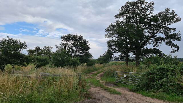
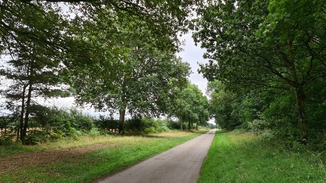
Bilby Images
Images are sourced within 2km of 53.341374/-1.040213 or Grid Reference SK6483. Thanks to Geograph Open Source API. All images are credited.


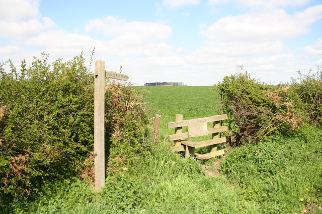
![Farm storage area Containing only a few bales of straw though there were hundreds more in the adjacent field <a href="https://www.geograph.org.uk/photo/6937183">SK6383 : Hundreds of bales of straw</a>]](https://s2.geograph.org.uk/geophotos/06/93/71/6937182_fea755f4.jpg)


Bilby is located at Grid Ref: SK6483 (Lat: 53.341374, Lng: -1.040213)
Administrative County: Nottinghamshire
District: Bassetlaw
Police Authority: Nottinghamshire
What 3 Words
///fights.scope.broadens. Near Babworth, Nottinghamshire
Nearby Locations
Related Wikis

Bilby, Nottinghamshire
Bilby is a hamlet in Nottinghamshire, England. It is part of the civil parish of Barnby Moor. It is located 5 miles west of Retford, close to the A1 road...
RAF Worksop
Royal Air Force Worksop, or more simply RAF Worksop, is a former Royal Air Force satellite station located at Scofton, 2.8 miles (4.5 km) north east of...
Barnby Moor
Barnby Moor is a village and civil parish in the Bassetlaw district of Nottinghamshire, England, with a population of 257 (2001 census), increasing to...
Scofton
Scofton is a hamlet in the Bassetlaw district of northern Nottinghamshire, England. It is 130 miles (210 km) north west of London, 25 miles (40 km) north...
Ranby, Nottinghamshire
Ranby is a small village in the north of Nottinghamshire, next to the Chesterfield Canal and adjacent to the A1. It is in the civil parish of Babworth...

Hodsock
Hodsock is a settlement and civil parish about 4 miles from Worksop, in the Bassetlaw district, in the county of Nottinghamshire, England. The parish includes...
HM Prison Ranby
HM Prison Ranby is a Category C men's prison, located in the village of Ranby in Nottinghamshire, England. The prison is operated by His Majesty's Prison...
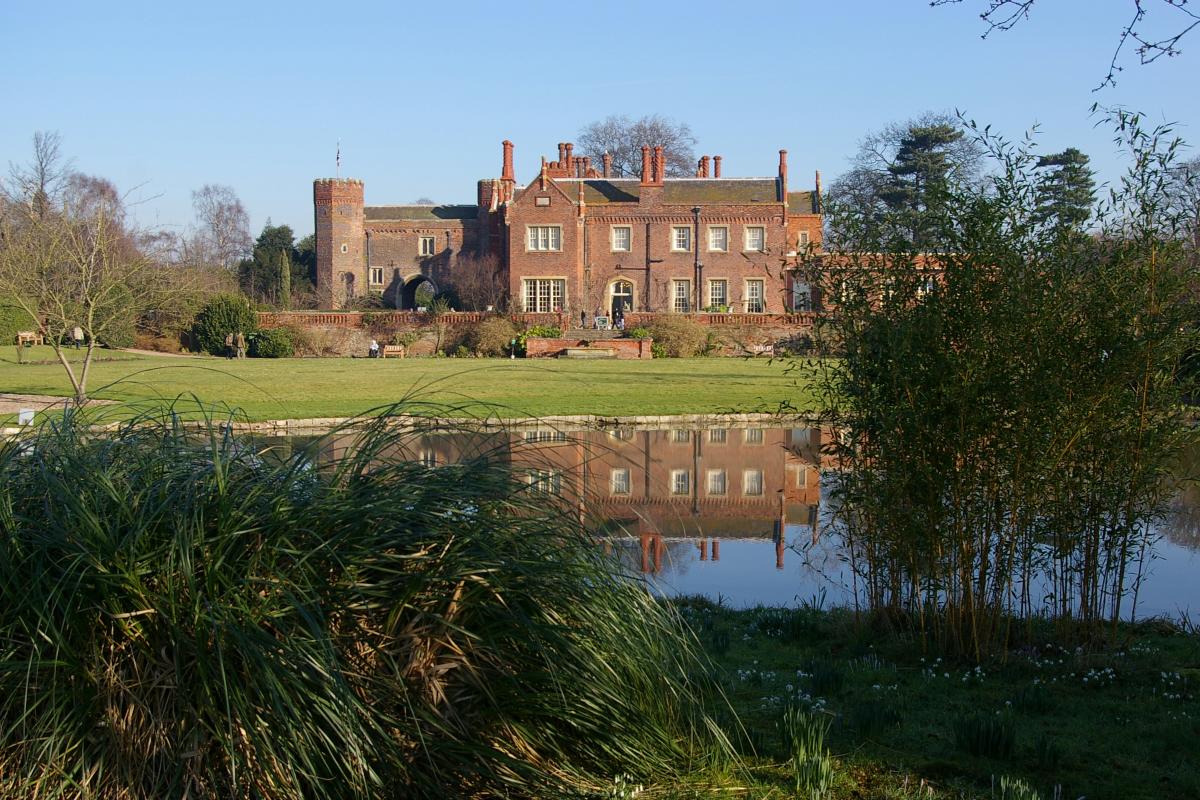
Hodsock Priory
Hodsock Priory is an English country house in Hodsock, Nottinghamshire, 4 miles (6.4 km) north of Worksop, England, and 1 mile (1.6 km) south of Blyth...
Nearby Amenities
Located within 500m of 53.341374,-1.040213Have you been to Bilby?
Leave your review of Bilby below (or comments, questions and feedback).