Bilbrook
Settlement in Somerset Somerset West and Taunton
England
Bilbrook
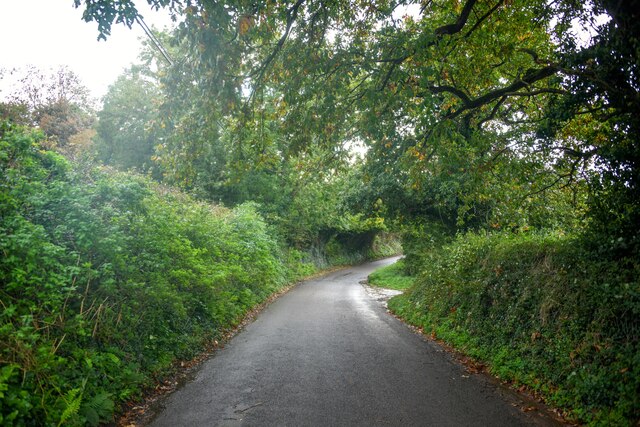
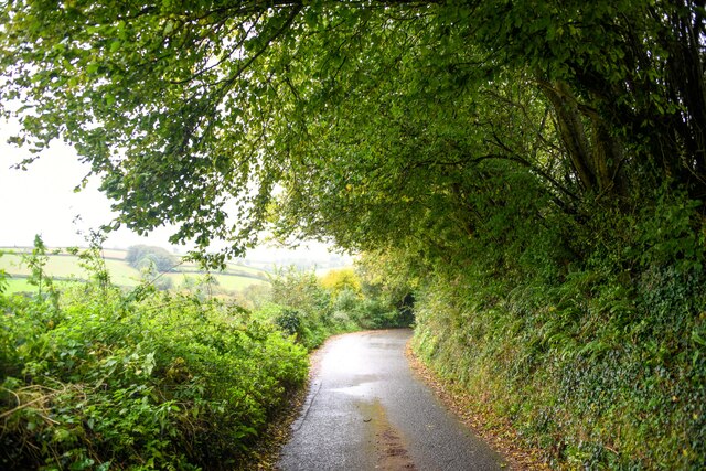
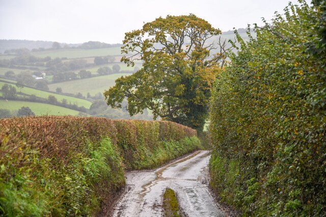
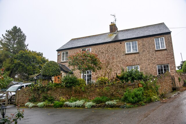
Bilbrook is a small village located in Somerset, England. Situated approximately 4 miles southwest of the town of Minehead, it is nestled in the beautiful Exmoor National Park. Bilbrook is a quintessential English village, known for its charming cottages and picturesque surroundings.
The village is home to a close-knit community, with a population of around 500 residents. Despite its small size, Bilbrook offers several amenities to its residents. These include a local primary school, a village hall, and a post office. There is also a traditional pub, The Crown Inn, which serves as a gathering place for locals and visitors alike.
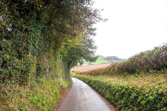
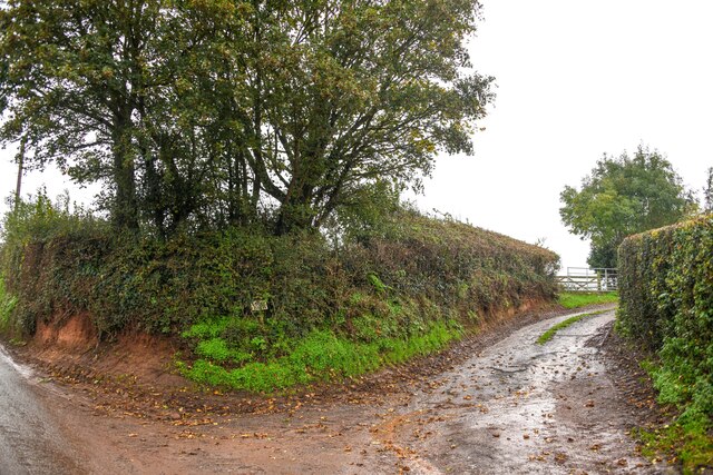
Bilbrook is surrounded by stunning natural beauty, making it an ideal location for outdoor enthusiasts. The Exmoor National Park provides ample opportunities for hiking, cycling, and wildlife spotting. The village is also within close proximity to the coast, with the popular seaside town of Minehead offering sandy beaches and seaside attractions.
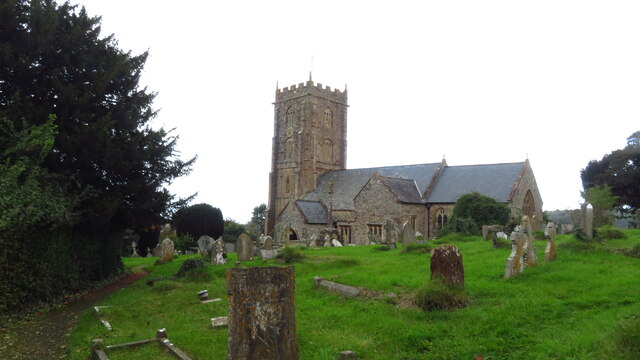
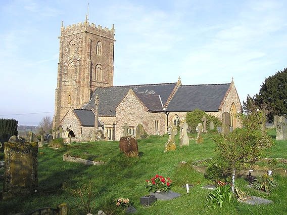
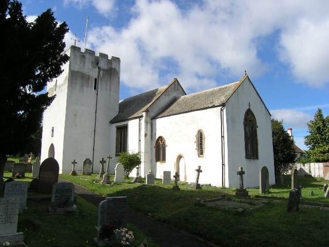
For history enthusiasts, Bilbrook has its own historic landmarks. St. Leonard's Church, dating back to the 12th century, is a notable feature of the village. The church's architecture and stained glass windows are a testament to the village's rich heritage.
Overall, Bilbrook is a peaceful and idyllic village, offering a high quality of life for its residents. With its natural beauty, community spirit, and historic charm, it is a hidden gem in the heart of Somerset.
If you have any feedback on the listing, please let us know in the comments section below.
Bilbrook Images
Images are sourced within 2km of 51.161345/-3.384307 or Grid Reference ST0341. Thanks to Geograph Open Source API. All images are credited.


Bilbrook is located at Grid Ref: ST0341 (Lat: 51.161345, Lng: -3.384307)
Administrative County: Somerset
District: Somerset West and Taunton
Police Authority: Avon and Somerset
What 3 Words
///herb.committed.skyrocket. Near Watchet, Somerset
Nearby Locations
Related Wikis
Old Cleeve
Old Cleeve is a village 5 miles (8 km) south east of Minehead in the Somerset West and Taunton district of Somerset, England, and also a civil parish....

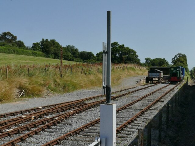
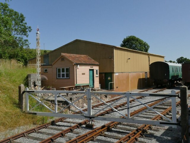
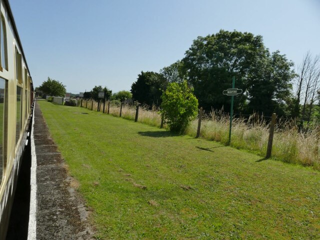
Washford railway station
Washford railway station is a station on the West Somerset Railway, a heritage railway in England. The station is situated in the village of Washford...

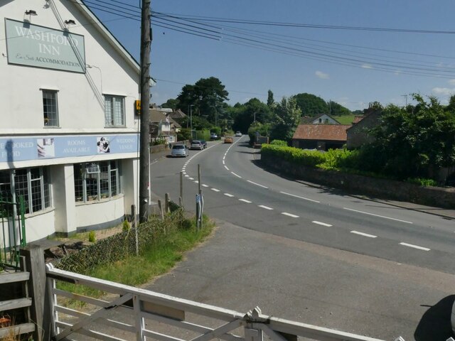
Washford
Washford is a village on the Washford River in the civil parish of Old Cleeve, Somerset, England. The village is next to Cleeve Abbey, one of the best...
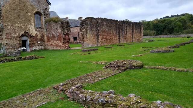
Cleeve Abbey
Cleeve Abbey is a medieval monastery located near the village of Washford, in Somerset, England. It is a Grade I listed building and has been scheduled...

Washford (WSMR) railway station
Washford was an intermediate station on the West Somerset Mineral Railway (WSMR), which was built primarily to carry iron ore from mines to Watchet harbour...
Torre (WSMR) railway station
Torre was a recognised stopping place, not a formal station, on the West Somerset Mineral Railway (WSMR). The railway's prime purpose was to carry iron...
Withycombe
Withycombe is a village, civil parish, and former manor 2.5 miles (4 km) south east of Dunster, and 5 miles (8 km) from Minehead within the Exmoor National...
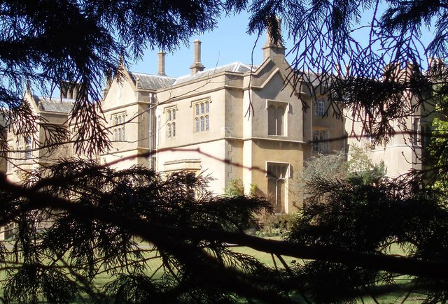
Chapel Cleeve Manor
Chapel Cleeve Manor in Chapel Cleeve, Somerset, England started life in the 1450s as a pilgrims' hostel. It was enlarged in the 19th and 20th centuries...
Nearby Amenities
Located within 500m of 51.161345,-3.384307Have you been to Bilbrook?
Leave your review of Bilbrook below (or comments, questions and feedback).