Bilbrook

Settlement in Staffordshire South Staffordshire

England

Bilbrook

Lepers Well Ancient sulphurous well beside Whitehouse Lane. The well is Grade 2 listed.
Lepers Well Credit: John M

Bilbrook is a small village located in the South Staffordshire district of Staffordshire, England. It is situated approximately 6 miles southeast of Wolverhampton and 12 miles northwest of Stafford. The village is surrounded by beautiful countryside, with the Staffordshire and Worcestershire Canal passing through its southern edge.

Bilbrook has a rich history, with evidence of human habitation dating back to the Bronze Age. The village was mentioned in the Domesday Book of 1086, where it was recorded as "Bilebroc." In the past, the village was primarily an agricultural community, but it has since grown and evolved.

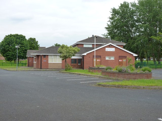
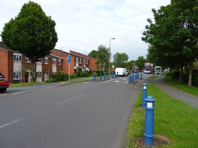
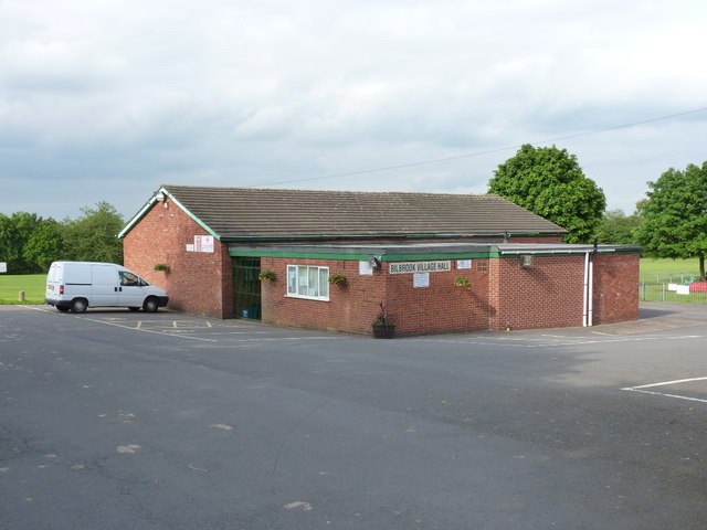
Today, Bilbrook maintains its charm as a peaceful and close-knit community. It offers a range of amenities, including a local primary school, a church, a community center, and a few shops. The village is also well-connected, with regular bus services providing links to nearby towns and cities.

Nature lovers will appreciate the village's proximity to natural attractions such as the Staffordshire Wildlife Trust's Smestow Valley Nature Reserve and the Wightwick Manor and Gardens. Additionally, Bilbrook benefits from its location near the historic city of Wolverhampton, which offers a wider range of cultural and recreational activities.

Overall, Bilbrook is a picturesque village with a strong sense of community and a rich history. Its combination of rural charm and convenient access to nearby urban areas makes it an attractive place to live or visit.

If you have any feedback on the listing, please let us know in the comments section below.
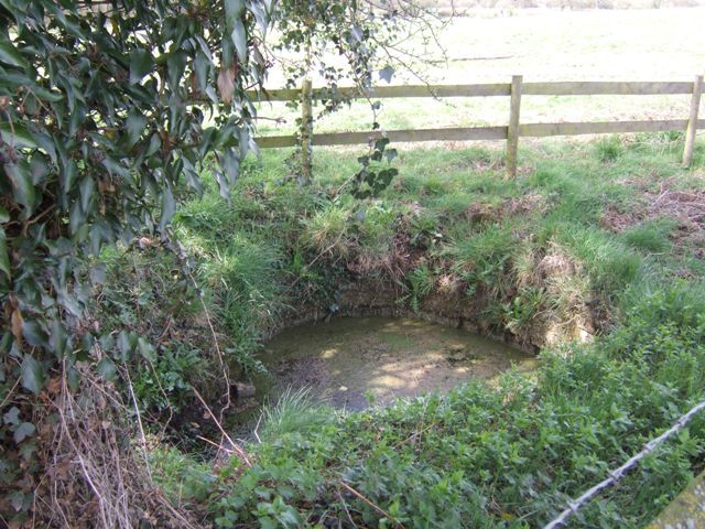
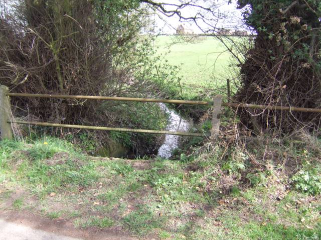
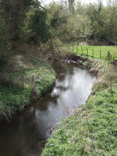
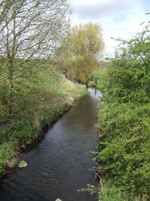
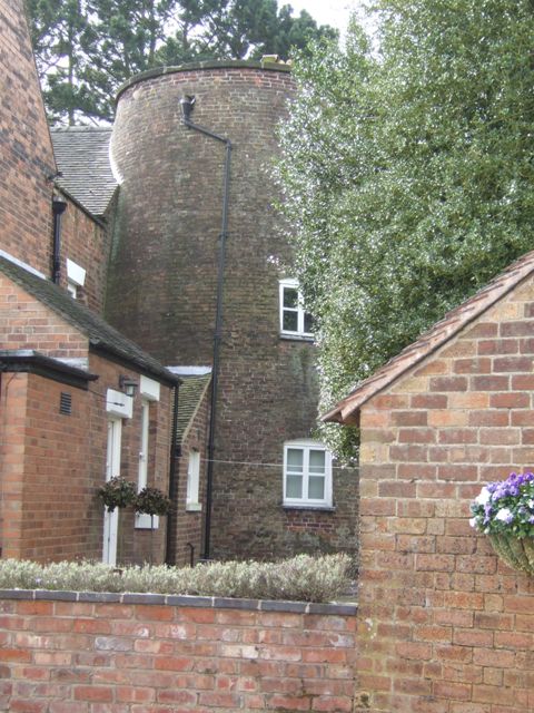
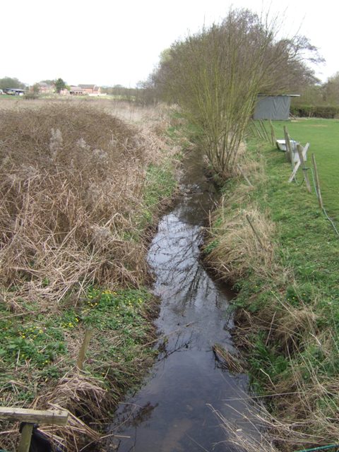
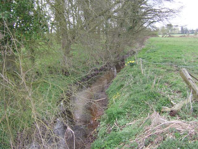
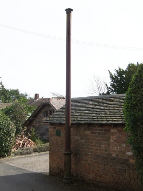
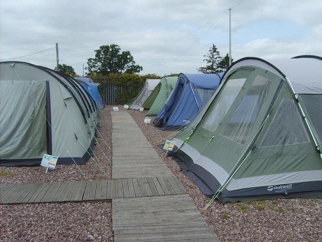
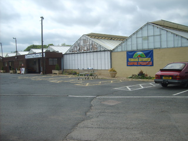
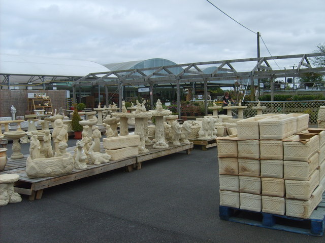
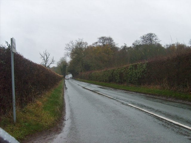
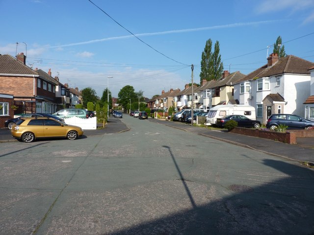
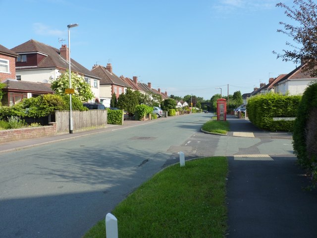
Bilbrook Images

Images are sourced within 2km of 52.626656/-2.1800136 or Grid Reference SJ8703. Thanks to Geograph Open Source API. All images are credited.

Lepers Well Ancient sulphurous well beside Whitehouse Lane. The well is Grade 2 listed.
Lepers Well
Ancient sulphurous well beside Whitehouse Lane. The well is Grade 2 listed.
Tributary of the Moat Brook Viewed upstream at Whitehouse Lane. The brook is fed from the Big Pool at Chillington Hall.
Tributary of the Moat Brook
Viewed upstream at Whitehouse Lane. The brook is fed from the Big Pool at Chillington Hall.
River Penk - upstream at Pendeford Hall Lane
River Penk - downstream at Pendeford Hall Lane
Codsall Mill The tower mill has been incorporated into Millfield House. Originally an 18th century mill with four sails, boat cap, weathervane and tailpole. Had ceased use by the 1880s.
Codsall Mill
The tower mill has been incorporated into Millfield House. Originally an 18th century mill with four sails, boat cap, weathervane and tailpole. Had ceased use by the 1880s.
Moat Brook downstream of Codsall footbridge The Moat Brook flows around the north side of Codsall and is a tributary of the River Penk.
Moat Brook downstream of Codsall footbridge
The Moat Brook flows around the north side of Codsall and is a tributary of the River Penk.
Moat Brook upstream of  Codsall footbridge The Moat Brook flows around the north side of Codsall and is a tributary of the River Penk.
Moat Brook upstream of Codsall footbridge
The Moat Brook flows around the north side of Codsall and is a tributary of the River Penk.
Sewer Vent Pipe Victorian stench pipe in Mill Lane.
Sewer Vent Pipe
Victorian stench pipe in Mill Lane.
Tents for Sale The view in Codsall and Wergs Garden Centre.
Tents for Sale
The view in Codsall and Wergs Garden Centre.
Codsall and Wergs Garden Centre.
Garden Figures The view in Codsall and Wergs Garden Centre.
Garden Figures
The view in Codsall and Wergs Garden Centre.
Rainy Wergs Hall Lane The view down the Codsall to Wergs Lane.
Rainy Wergs Hall Lane
The view down the Codsall to Wergs Lane.
Pendeford Seventh-day Adventist Church A newish church on Ryefield, which is the main road through the housing estate.
Pendeford Seventh-day Adventist Church
A newish church on Ryefield, which is the main road through the housing estate.
Ryefield, Pendeford Housing (and some traffic restriction measures) on the Ryefield estate in the middle of Pendeford.
Ryefield, Pendeford
Housing (and some traffic restriction measures) on the Ryefield estate in the middle of Pendeford.
Bilbrook water treatment works Or sewage works, if you prefer the older term!
Bilbrook water treatment works
Or sewage works, if you prefer the older term!
Bilbrook village hall On the outskirts of Bilbrook, and adjacent to the playing fields.
Bilbrook village hall
On the outskirts of Bilbrook, and adjacent to the playing fields.
Lane Green Avenue, Bilbrook A cul-de-sac of houses on the edge of Bilbrook.
Lane Green Avenue, Bilbrook
A cul-de-sac of houses on the edge of Bilbrook.
Lane Green Road, Bilbrook Don't be fooled by the phone-box - it's disused, contains no equipment, and serves merely to decorate the roadside.
Lane Green Road, Bilbrook
Don't be fooled by the phone-box - it's disused, contains no equipment, and serves merely to decorate the roadside.
Show me another place!

Bilbrook is located at Grid Ref: SJ8703 (Lat: 52.626656, Lng: -2.1800136)

Administrative County: Staffordshire

District: South Staffordshire

Police Authority: Staffordshire

What 3 Words

///ruled.reader.oath. Near Codsall, Staffordshire

Nearby Locations

Bilbrook

Related Wikis

Bilbrook, Staffordshire

Bilbrook is a village in the South Staffordshire district of Staffordshire, England. It is situated close to the border of the West Midlands, just outside...

Bilbrook railway station

Bilbrook railway station is a railway station which serves the village of Bilbrook in Staffordshire, England. It was known as Birches and Bilbrook Halt...

Birches Bridge

Birches Bridge is an area of Codsall, Staffordshire. It is situated to the northwest of Wolverhampton between Bilbrook and Codsall. == Name and origins... ==

Codsall Community High School

Codsall Community High School is a coeducational upper school and sixth form located in Codsall, Staffordshire, England.It is located in a large village...

South Staffordshire

South Staffordshire is a local government district in Staffordshire, England. The district lies to the north and west of the West Midlands county, bordering...

Codsall

Codsall is a large village in the South Staffordshire district of Staffordshire, England. It is situated 5 miles northwest of Wolverhampton and 13 miles...

Codsall railway station

Codsall railway station serves the village of Codsall in Staffordshire, England. == History == The original listed GWR footbridge, between the two platforms...

Aldersley High School

Aldersley High School is a mixed secondary school and sixth form located in the Pendeford area of Wolverhampton in the West Midlands of England.Despite...

Nearby Amenities

Located within 500m of 52.626656,-2.1800136
Crossing
Crossing: uncontrolled
Crossing Markings: zebra
Crossing Ref: zebra
Lat/Long: 52.6241132/-2.1858313
Crossing
Crossing: uncontrolled
Crossing Island: no
Crossing Markings: zebra
Crossing Ref: zebra
Tactile Paving: yes
Lat/Long: 52.6249172/-2.1834618
Bilbrook
Is In: Staffordshire
Place: village
Lat/Long: 52.6280771/-2.1810334
Source: www.npemap.org.uk
Uk Postcode Centroid: WV8
Lat/Long: 52.625674/-2.18586
Bus Stop
Bilbrook Road
Bus: yes
Naptan AtcoCode: 3800C600400
Naptan Bearing: W
Naptan CommonName: Bilbrook Road
Naptan Indicator: Adj
Naptan Landmark: Bilbrook Road
Naptan Street: Pendeford Mill Lane
Naptan Verified: no
Public Transport: platform
Source: naptan_import
Lat/Long: 52.6268521/-2.1794716
Acacia Crescent
Naptan AtcoCode: 3800C602702
Naptan Bearing: S
Naptan BusStopType: CUS
Naptan CommonName: Acacia Crescent
Naptan Indicator: Opp
Naptan Landmark: Acacia Crescent
Naptan Street: Lime Tree Road
Naptan Verified: no
Source: naptan_import
Lat/Long: 52.628465/-2.1829502
Bus Stop
The Woodman PH
Bus: yes
Naptan AtcoCode: 3800C612901
Naptan Bearing: NE
Naptan BusStopType: CUS
Naptan CommonName: The Woodman PH
Naptan Indicator: Adj
Naptan Landmark: The Woodman PH
Naptan Street: Duck Lane
Naptan Verified: no
Public Transport: platform
Source: naptan_import
Lat/Long: 52.626527/-2.1804601
Bus Stop
The Woodman PH
Bus: yes
Naptan AtcoCode: 3800C612902
Naptan Bearing: SW
Naptan CommonName: The Woodman PH
Naptan Indicator: Opp
Naptan Landmark: The Woodman PH
Naptan Street: Duck Ln
Naptan Verified: no
Public Transport: platform
Source: naptan_import
Lat/Long: 52.6262475/-2.1809908
Church Hall
Naptan AtcoCode: 3800C613400
Naptan Bearing: N
Naptan BusStopType: CUS
Naptan CommonName: Church Hall
Naptan Indicator: Adj
Naptan Landmark: Church Hall
Naptan Street: Bilbrook Road
Naptan Verified: no
Public Transport: platform
Source: naptan_import
Lat/Long: 52.6272828/-2.1800643
Acacia Crescent
Naptan AtcoCode: 3800C620701
Naptan Bearing: N
Naptan BusStopType: CUS
Naptan CommonName: Acacia Crescent
Naptan Indicator: Adj
Naptan Landmark: Acacia Crescent
Naptan Street: Lime Tree Road
Naptan Verified: no
Source: naptan_import
Lat/Long: 52.6285006/-2.1832163
Alexander Road
Naptan AtcoCode: 3800C691501
Naptan Bearing: E
Naptan BusStopType: CUS
Naptan CommonName: Alexander Road
Naptan Indicator: Opp
Naptan Landmark: Alexander Rd
Naptan Street: Pendeford Mill Lane
Naptan Verified: no
Source: naptan_import
Lat/Long: 52.6274946/-2.1767115
Alexander Road
Naptan AtcoCode: 3800C691502
Naptan Bearing: W
Naptan BusStopType: CUS
Naptan CommonName: Alexander Road
Naptan Indicator: Adj
Naptan Landmark: Alexander Road
Naptan Street: Pendeford Mill Lane
Naptan Verified: no
Source: naptan_import
Lat/Long: 52.6273507/-2.1767405
Bus Stop
Wesley Road
Bus: yes
Naptan AtcoCode: 3800C691601
Naptan Bearing: NW
Naptan CommonName: Wesley Road
Naptan Indicator: Adj
Naptan Landmark: Wesley Road
Naptan Street: Lane Green Road
Naptan Verified: no
Public Transport: platform
Source: naptan_import
Lat/Long: 52.6229265/-2.1775204
Bus Stop
Wesley Road
Bus: yes
Naptan AtcoCode: 3800C691901
Naptan Bearing: NE
Naptan CommonName: Dentists Surgery
Naptan Indicator: Adj
Naptan Landmark: Dentists Surgery
Naptan Street: Duck Lane
Naptan Verified: no
Public Transport: platform
Source: naptan_import
Lat/Long: 52.6244251/-2.1851493
Bus Stop
Wesley Road
Bus: yes
Naptan AtcoCode: 3800C691902
Naptan Bearing: SW
Naptan CommonName: Brookfield Road
Naptan Indicator: Adj
Naptan Landmark: Brookfield Road
Naptan Street: Duck Lane
Naptan Verified: no
Public Transport: platform
Source: naptan_import
Lat/Long: 52.6250757/-2.1829951
Fire Station
Codsall Fire Station
Lat/Long: 52.6249645/-2.1839282
Turning Circle
Lat/Long: 52.6255067/-2.1759501
Turning Circle
Lat/Long: 52.6265618/-2.1760467
Crossing
Crossing: uncontrolled
Source: bing
Lat/Long: 52.6265465/-2.1803229
Post Office
Lane Green Post Office
Addr City: Wolverhampton
Addr Housenumber: 13-15
Addr Place: Codsall
Addr Postcode: WV8 1EU
Addr Street: Bilbrook Road
Brand: Post Office
Brand Wikidata: Q1783168
Fixme: verify by survey
Opening Hours: Mo-Su 06:00-23:00
Ref Pol Id: 5688
Source: pol_branch_list_2018-02
Website: https://www.postoffice.co.uk/branch-finder/1852469/lane-green
Lat/Long: 52.62777/-2.17999
Historic: memorial
Lat/Long: 52.626539/-2.1800549
Bench
Lat/Long: 52.6264584/-2.1803168
Bench
Lat/Long: 52.6263639/-2.1802991
Man Made: flagpole
Lat/Long: 52.626336/-2.1801009
Bench
Lat/Long: 52.6264659/-2.1807627
Waste Basket
Lat/Long: 52.6265358/-2.1801575
Information: board
Tourism: information
Lat/Long: 52.6264412/-2.1804495
Bench
Lat/Long: 52.6269479/-2.1799056
Bench
Lat/Long: 52.6269683/-2.1799056
Bench
Lat/Long: 52.6269917/-2.1799168
Bench
Lat/Long: 52.6270139/-2.1799889
Waste Basket
Lat/Long: 52.6269825/-2.1799666
Atm
Lat/Long: 52.6277279/-2.180008
Barrier: kerb
Kerb: flush
Tactile Paving: yes
Lat/Long: 52.6249392/-2.1834947
Barrier: kerb
Kerb: flush
Tactile Paving: yes
Lat/Long: 52.6248806/-2.1834089
Bus Stop
Church Hall
Bus: yes
Naptan AtcoCode: 3800C613401
Naptan BusStopType: CUS
Naptan Verified: no
Public Transport: platform
Source: naptan
Lat/Long: 52.6272692/-2.1799866
Generator Method: photovoltaic
Generator Output Electricity: yes
Generator Source: solar
Generator Type: solar_photovoltaic_panel
Location: roof
Power: generator
Lat/Long: 52.6298265/-2.1795604
Generator Method: photovoltaic
Generator Output Electricity: yes
Generator Source: solar
Generator Type: solar_photovoltaic_panel
Location: roof
Power: generator
Lat/Long: 52.627658/-2.1808881
Generator Method: photovoltaic
Generator Output Electricity: yes
Generator Source: solar
Generator Type: solar_photovoltaic_panel
Location: roof
Power: generator
Lat/Long: 52.6275912/-2.1813414
Generator Method: photovoltaic
Generator Output Electricity: yes
Generator Source: solar
Generator Type: solar_photovoltaic_panel
Location: roof
Power: generator
Lat/Long: 52.627855/-2.1814701
Generator Method: photovoltaic
Generator Output Electricity: yes
Generator Source: solar
Generator Type: solar_photovoltaic_panel
Location: roof
Power: generator
Lat/Long: 52.6278371/-2.1817008
Generator Method: photovoltaic
Generator Output Electricity: yes
Generator Source: solar
Generator Type: solar_photovoltaic_panel
Location: roof
Power: generator
Lat/Long: 52.6277834/-2.1829078
Generator Method: photovoltaic
Generator Output Electricity: yes
Generator Source: solar
Generator Type: solar_photovoltaic_panel
Location: roof
Power: generator
Lat/Long: 52.6277736/-2.1830553
Generator Method: photovoltaic
Generator Output Electricity: yes
Generator Source: solar
Generator Type: solar_photovoltaic_panel
Location: roof
Power: generator
Lat/Long: 52.6277655/-2.1831626
Generator Method: photovoltaic
Generator Output Electricity: yes
Generator Source: solar
Generator Type: solar_photovoltaic_panel
Location: roof
Power: generator
Lat/Long: 52.6275115/-2.1830231
Generator Method: photovoltaic
Generator Output Electricity: yes
Generator Source: solar
Generator Type: solar_photovoltaic_panel
Location: roof
Power: generator
Lat/Long: 52.6275424/-2.1822882
Generator Method: photovoltaic
Generator Output Electricity: yes
Generator Source: solar
Generator Type: solar_photovoltaic_panel
Location: roof
Power: generator
Lat/Long: 52.6275489/-2.1821541
Generator Method: photovoltaic
Generator Output Electricity: yes
Generator Source: solar
Generator Type: solar_photovoltaic_panel
Location: roof
Power: generator
Lat/Long: 52.6275522/-2.1820548
Generator Method: photovoltaic
Generator Output Electricity: yes
Generator Source: solar
Generator Type: solar_photovoltaic_panel
Location: roof
Power: generator
Lat/Long: 52.6269074/-2.1830821
Crossing
Crossing: uncontrolled
Source: bing
Lat/Long: 52.6268733/-2.1797917
Generator Method: photovoltaic
Generator Output Electricity: yes
Generator Source: solar
Generator Type: solar_photovoltaic_panel
Location: roof
Power: generator
Lat/Long: 52.6255756/-2.1785197
Generator Method: photovoltaic
Generator Output Electricity: yes
Generator Source: solar
Generator Type: solar_photovoltaic_panel
Location: roof
Power: generator
Lat/Long: 52.6255805/-2.1784446
Generator Method: photovoltaic
Generator Output Electricity: yes
Generator Source: solar
Generator Type: solar_photovoltaic_panel
Location: roof
Power: generator
Lat/Long: 52.6257091/-2.1761352
Generator Method: photovoltaic
Generator Output Electricity: yes
Generator Source: solar
Generator Type: solar_photovoltaic_panel
Location: roof
Power: generator
Lat/Long: 52.6246932/-2.1766904
Generator Method: photovoltaic
Generator Output Electricity: yes
Generator Source: solar
Generator Type: solar_photovoltaic_panel
Location: roof
Power: generator
Lat/Long: 52.6248478/-2.1816069
Generator Method: photovoltaic
Generator Output Electricity: yes
Generator Source: solar
Generator Type: solar_photovoltaic_panel
Location: roof
Power: generator
Lat/Long: 52.6227865/-2.1810839
Generator Method: photovoltaic
Generator Output Electricity: yes
Generator Source: solar
Generator Type: solar_photovoltaic_panel
Location: roof
Power: generator
Lat/Long: 52.624786/-2.1866709
Generator Method: photovoltaic
Generator Output Electricity: yes
Generator Source: solar
Generator Type: solar_photovoltaic_panel
Location: roof
Power: generator
Lat/Long: 52.6248658/-2.1864697
Generator Method: photovoltaic
Generator Output Electricity: yes
Generator Source: solar
Generator Type: solar_photovoltaic_panel
Location: roof
Power: generator
Lat/Long: 52.6249504/-2.1862739
Budgens
Addr Housenumber: 30
Addr Postcode: WV8 1JG
Addr Street: Pendeford Mill Lane
Brand: Budgens
Brand Wikidata: Q4985016
Opening Hours: Mo-Sa 06:00-22:00; Su 07:00-22:00
Shop: convenience
Website: https://www.budgens.co.uk/our-stores/bilbrook
Lat/Long: 52.6272054/-2.17742
Crossing
Crossing: unmarked
Crossing Island: no
Crossing Markings: no
Tactile Paving: yes
Lat/Long: 52.6235746/-2.1780355
The data included in this document is from www.openstreetmap.org. The data is made available under ODbL.

Have you been to Bilbrook?

Leave your review of Bilbrook below (or comments, questions and feedback).