Cleeve, Old
Settlement in Somerset Somerset West and Taunton
England
Cleeve, Old
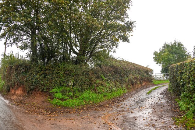
Cleeve is a small village located in the county of Somerset, England. Situated in the picturesque countryside, it is part of the civil parish of Old Cleeve, which encompasses a few neighboring hamlets as well. The village is nestled between the Quantock Hills Area of Outstanding Natural Beauty and the Bristol Channel, providing residents and visitors with stunning views and access to the coast.
Historically, Cleeve has a rich heritage dating back to the Roman times. The remains of a Roman villa were discovered in the area, indicating its ancient significance. Throughout the centuries, Cleeve has maintained its small and rural character, with a population of around 500 people.
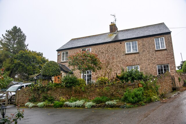
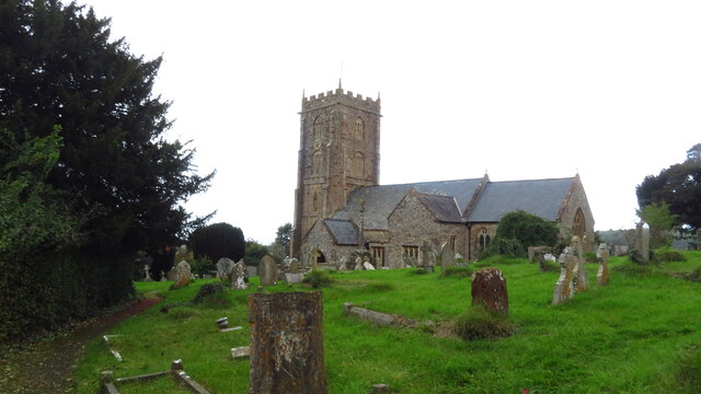
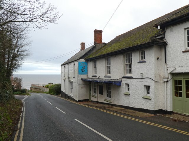
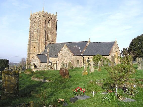
The village features a charming mix of traditional houses, some of which are constructed from local stone, adding to its distinct character. It is home to a beautiful 13th-century church, St. Andrew's, which stands as a testament to the village's long-standing history.
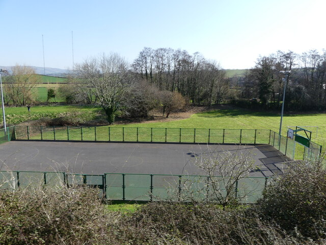
Although Cleeve is small, it offers a range of amenities for its residents, including a primary school, a post office, and a village hall. The surrounding countryside provides ample opportunities for outdoor activities such as hiking, cycling, and horse riding.
Cleeve's location also allows for convenient access to nearby towns and cities. The bustling market town of Minehead is only a short distance away, offering a wider range of shops, restaurants, and services. Overall, Cleeve is a tranquil and idyllic village, perfect for those seeking a peaceful rural retreat amidst the beauty of Somerset's countryside.
If you have any feedback on the listing, please let us know in the comments section below.
Cleeve, Old Images
Images are sourced within 2km of 51.167244/-3.378176 or Grid Reference ST0341. Thanks to Geograph Open Source API. All images are credited.


Cleeve, Old is located at Grid Ref: ST0341 (Lat: 51.167244, Lng: -3.378176)
Administrative County: Somerset
District: Somerset West and Taunton
Police Authority: Avon and Somerset
What 3 Words
///encroach.waking.interacts. Near Watchet, Somerset
Nearby Locations
Related Wikis
Old Cleeve
Old Cleeve is a village 5 miles (8 km) south east of Minehead in the Somerset West and Taunton district of Somerset, England, and also a civil parish....

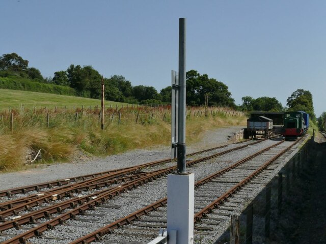
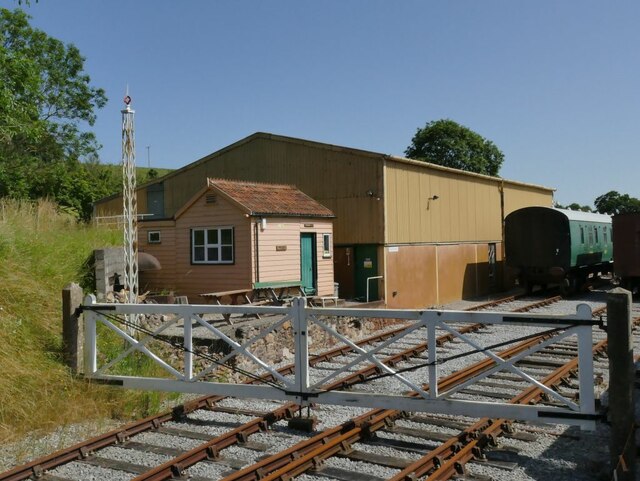
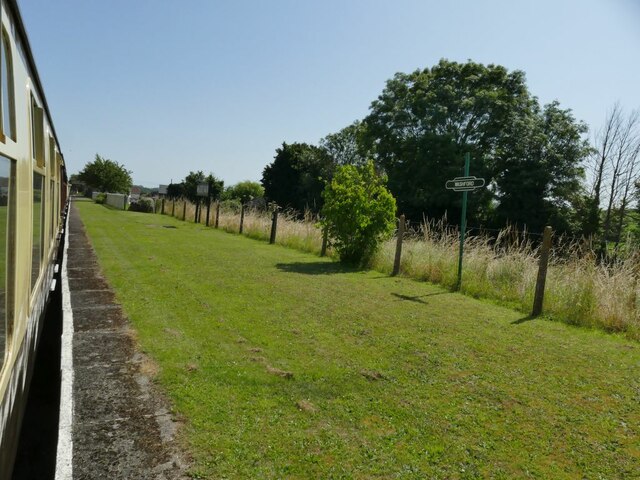
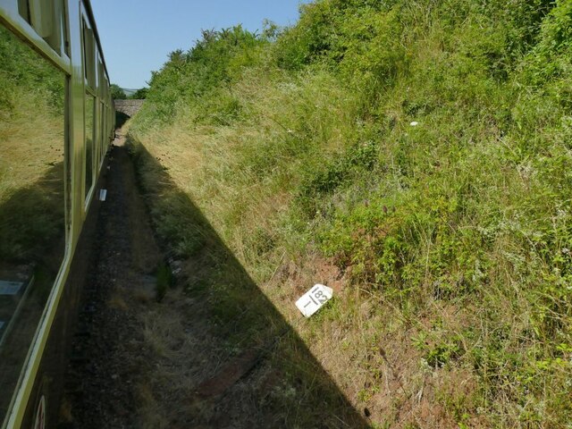
Washford railway station
Washford railway station is a station on the West Somerset Railway, a heritage railway in England. The station is situated in the village of Washford...

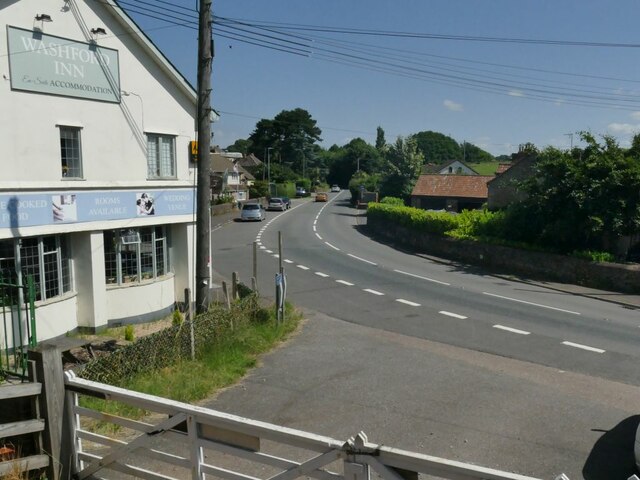
Washford
Washford is a village on the Washford River in the civil parish of Old Cleeve, Somerset, England. The village is next to Cleeve Abbey, one of the best...
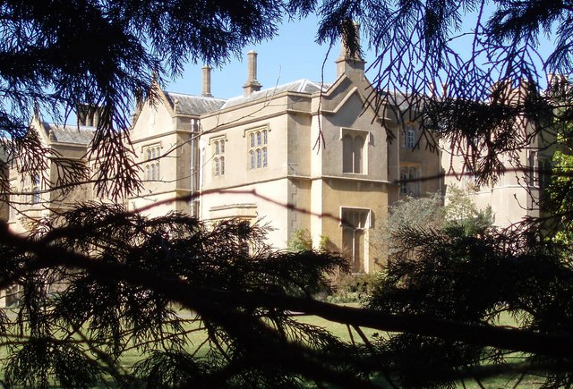
Chapel Cleeve Manor
Chapel Cleeve Manor in Chapel Cleeve, Somerset, England started life in the 1450s as a pilgrims' hostel. It was enlarged in the 19th and 20th centuries...

Washford (WSMR) railway station
Washford was an intermediate station on the West Somerset Mineral Railway (WSMR), which was built primarily to carry iron ore from mines to Watchet harbour...
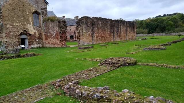
Cleeve Abbey
Cleeve Abbey is a medieval monastery located near the village of Washford, in Somerset, England. It is a Grade I listed building and has been scheduled...
Torre (WSMR) railway station
Torre was a recognised stopping place, not a formal station, on the West Somerset Mineral Railway (WSMR). The railway's prime purpose was to carry iron...
Cleeve Hill SSSI, Somerset
Cleeve Hill (grid reference ST056428) is a 15.1 hectare (37.4 acre) biological Site of Special Scientific Interest between Old Cleeve and Watchet in Somerset...
Nearby Amenities
Located within 500m of 51.167244,-3.378176Have you been to Cleeve, Old?
Leave your review of Cleeve, Old below (or comments, questions and feedback).