Bilberry

Settlement in Cornwall

England

Bilberry

Bus shelter, Lockengate
Bus shelter, Lockengate Credit: David Smith

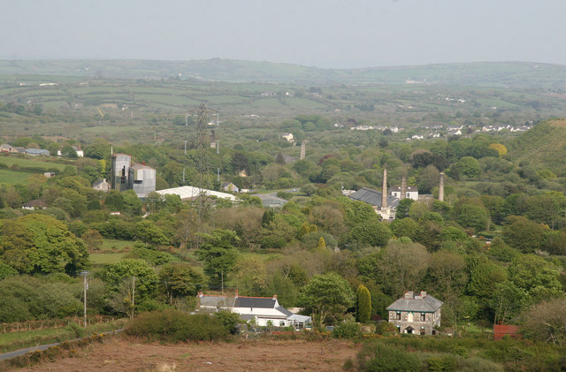
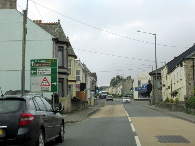
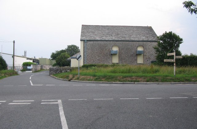
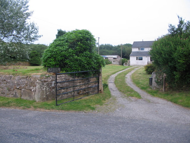
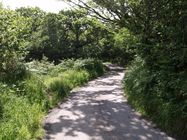
Bilberry is a small village located in the picturesque region of Cornwall, England. Situated near the coast, Bilberry is known for its stunning natural beauty and charming rural atmosphere. The village is surrounded by rolling hills, lush green countryside, and peaceful woodlands, making it a popular destination for nature lovers and outdoor enthusiasts.

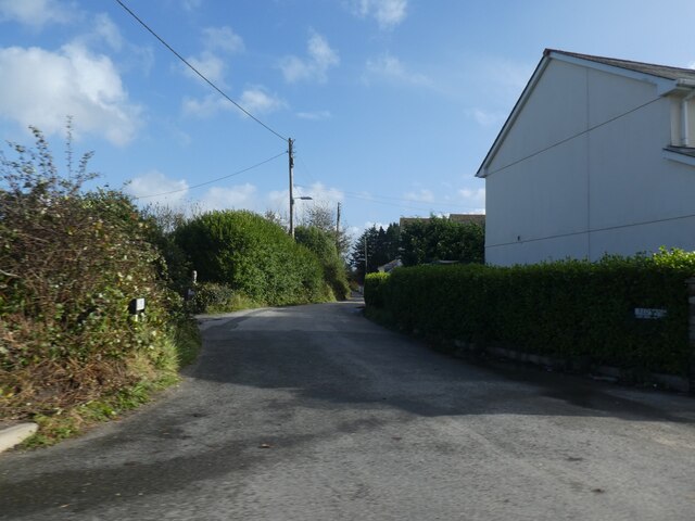
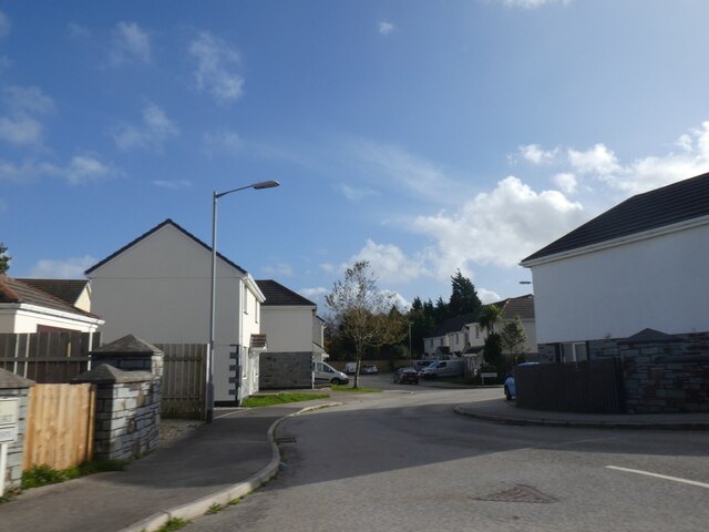
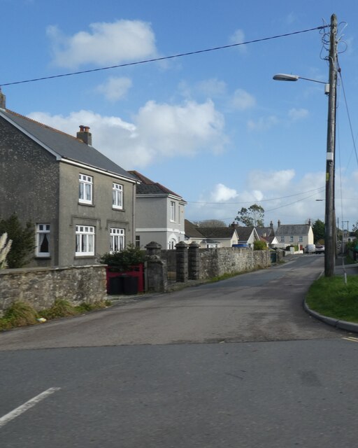
Bilberry is home to a close-knit community of residents who take pride in their village's history and traditions. The village features a quaint town center with a handful of shops, cafes, and local businesses, providing residents with all the essentials they need for everyday living. Visitors to Bilberry can also enjoy exploring the surrounding countryside, taking leisurely walks along the coastal paths, or simply relaxing and soaking in the peaceful ambiance of the village.

Overall, Bilberry offers a tranquil and idyllic setting for those looking to escape the hustle and bustle of city life and immerse themselves in the beauty of the English countryside. With its stunning scenery, friendly locals, and laid-back atmosphere, Bilberry is a hidden gem in Cornwall that is sure to enchant all who visit.

If you have any feedback on the listing, please let us know in the comments section below.
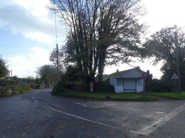
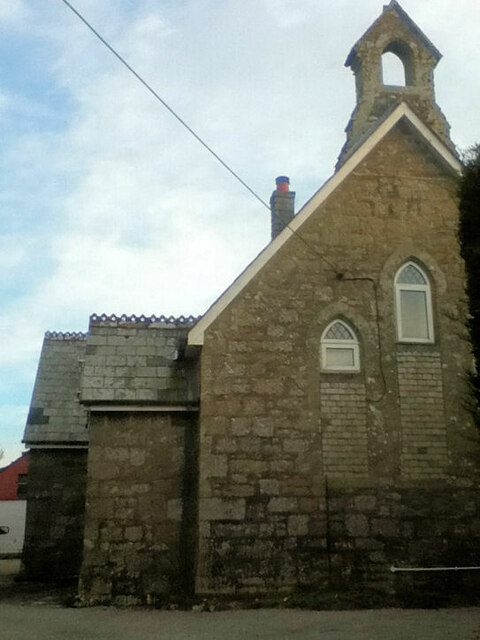
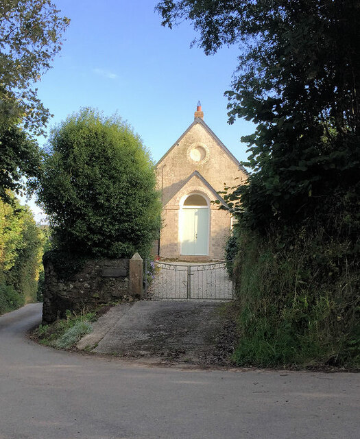
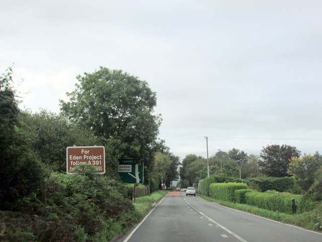
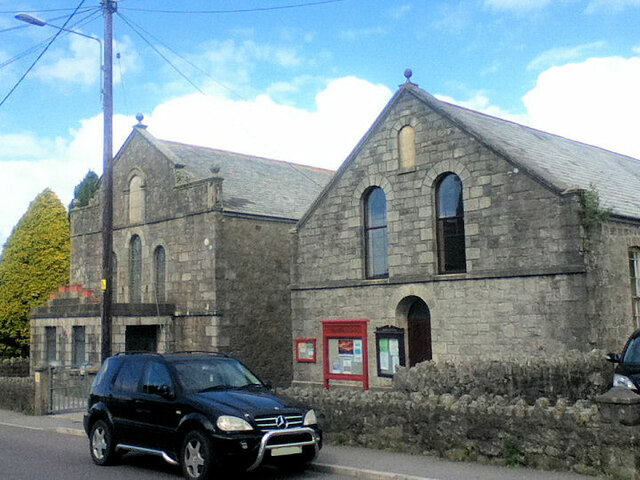
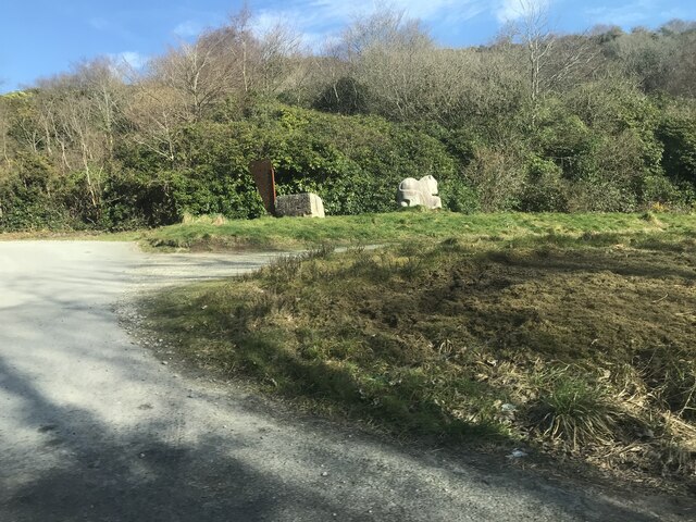
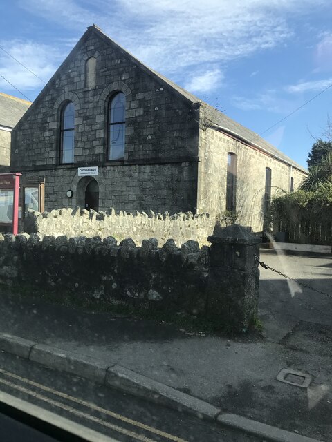
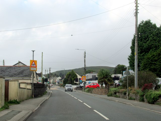
Bilberry Images

Images are sourced within 2km of 50.407316/-4.789494 or Grid Reference SX0160. Thanks to Geograph Open Source API. All images are credited.

Bus shelter, Lockengate
Lockengate Mission Church Now a private dwelling.
Lockengate Mission Church
Now a private dwelling.
Bible Christian chapel
The A391 at Lockengate
Carbis from Roche Rock A partly industrial landscape with a modern china clay plant seen to the left and the chimneys to the right are at Carbis Wharf where there is a china clay dry converted to holiday lets and the remains of a brickworks.
Carbis from Roche Rock
A partly industrial landscape with a modern china clay plant seen to the left and the chimneys to the right are at Carbis Wharf where there is a china clay dry converted to holiday lets and the remains of a brickworks.
Red Lane, Molinnis
Red Lane, Molinnis
Houses in Springfields, Molinnis
Molinnis Road, Bugle
Bugle Methodist Church
Guide stone A horse sculpture marks the start of a 3.5m trail to the Eden project <span class="nowrap"><a title="https://www.claytrails.co.uk/eden-project-bugle" rel="nofollow ugc noopener" href="https://www.claytrails.co.uk/eden-project-bugle">Link</a><img style="margin-left:2px;" alt="External link" title="External link - shift click to open in new window" src="https://s1.geograph.org.uk/img/external.png" width="10" height="10"/></span>
Guide stone
A horse sculpture marks the start of a 3.5m trail to the Eden project LinkExternal link
Crossroads Community Hall
Bugle Cornwall
Bugle Cornwall
Fore Street Bugle Cornwall
Crossroads near Bodwen A view looking to the southwest across a crossroads near Bodwen. The buildings at left are the Roach Foods factory.
Crossroads near Bodwen
A view looking to the southwest across a crossroads near Bodwen. The buildings at left are the Roach Foods factory.
Carne Cottage A view looking north across Minorca Lane, towards Carne Cottage.
Carne Cottage
A view looking north across Minorca Lane, towards Carne Cottage.
Bus shelter at Lockengate A view looking to the southwest towards a bus shelter at Lockengate. The A391 to St. Austell is on the right.
Bus shelter at Lockengate
A view looking to the southwest towards a bus shelter at Lockengate. The A391 to St. Austell is on the right.
Lane near Tremodrett This tiny unfenced lane, which looks from the maps as though it would be gated (but wasn't), connects lanes between Criggan and Roche.
Lane near Tremodrett
This tiny unfenced lane, which looks from the maps as though it would be gated (but wasn't), connects lanes between Criggan and Roche.
Railway bridge at Criggan The railway out of sight in the cutting is the single-track line from Newquay to the main line at Par. The sturdy granite bridge carries the lane from Roche to the A391 at Bilberry.
Railway bridge at Criggan
The railway out of sight in the cutting is the single-track line from Newquay to the main line at Par. The sturdy granite bridge carries the lane from Roche to the A391 at Bilberry.
Show me another place!

Bilberry is located at Grid Ref: SX0160 (Lat: 50.407316, Lng: -4.789494)

Unitary Authority: Cornwall

Police Authority: Devon and Cornwall

What 3 Words

///faster.blissful.regular. Near Bugle, Cornwall

Nearby Locations

Bilberry Criggan

Related Wikis

Bilberry, Cornwall

Bilberry (Cornish: Krugbylla) is a village in mid Cornwall, England, United Kingdom. It is approximately five miles (8 km) north of St Austell on the A391...

Criggan

Criggan is a hamlet in Cornwall, England, UK, located north of the village of Bugle. It lies on the edge of Criggan Moor, within an Area of Great Scientific...

Hallew

Hallew is a hamlet in the parish of Treverbyn (where the 2011 census population was included ), Cornwall, England. == References ==

Molinnis

Molinnis is a hamlet in Cornwall, England. It is half a mile north of Bugle. == References ==

Nearby Amenities

Located within 500m of 50.407316,-4.789494
Fixme: No railway here?
Lat/Long: 50.4041608/-4.7888783
Bus Stop
Bilberry Turn
Bus: yes
Naptan AtcoCode: 0800COC31280
Naptan Bearing: SW
Naptan CommonName: Bilberry Turn
Naptan NaptanCode: cordjgtp
Naptan Street: A391
Naptan Verified: no
Public Transport: platform
Source: naptan_import
Lat/Long: 50.4060653/-4.7867547
Power: tower
Lat/Long: 50.4104491/-4.7940411
Power: tower
Lat/Long: 50.4099826/-4.7870249
Power: tower
Lat/Long: 50.4101679/-4.7900682
Bilberry
Name En: Bilberry
Name Kw: Krugbylla
Place: village
Wikidata: Q4907612
Wikipedia: en:Bilberry, Cornwall
Lat/Long: 50.4060404/-4.7866438
The data included in this document is from www.openstreetmap.org. The data is made available under ODbL.

Have you been to Bilberry?

Leave your review of Bilberry below (or comments, questions and feedback).