Bignall End

Settlement in Staffordshire Newcastle-under-Lyme

England

Bignall End

Car park behind community centre
Car park behind community centre Credit: Jonathan Hutchins

Bignall End is a small village located in Staffordshire, England. Situated approximately five miles north of Stoke-on-Trent, the village is part of the borough of Newcastle-under-Lyme. Bignall End has a population of around 1,000 residents.

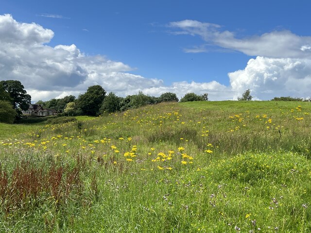
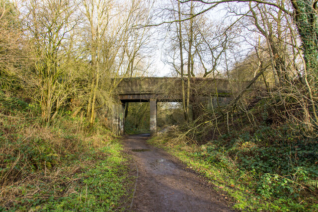
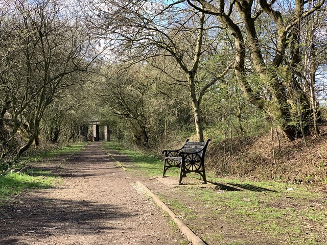
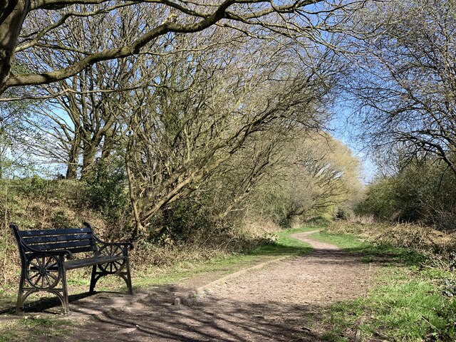
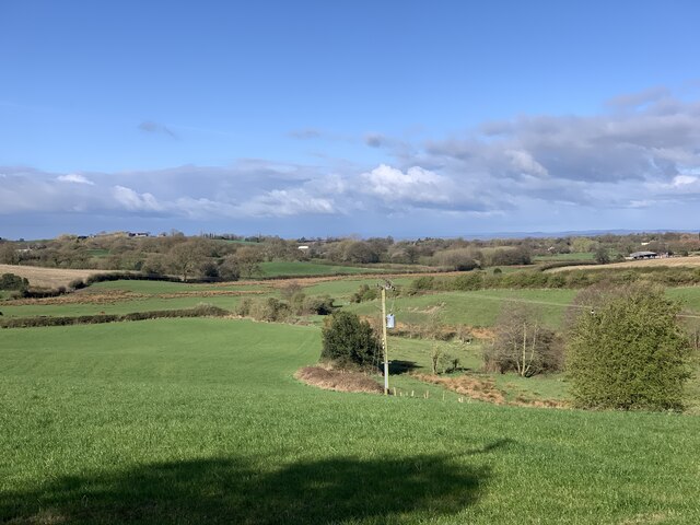
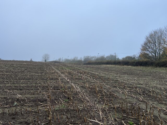
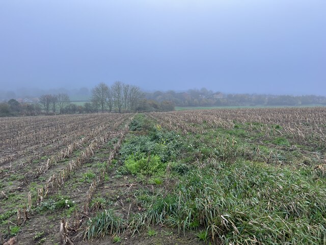
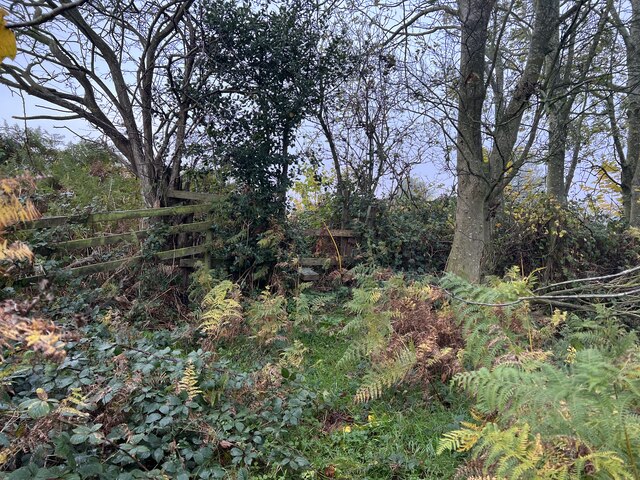
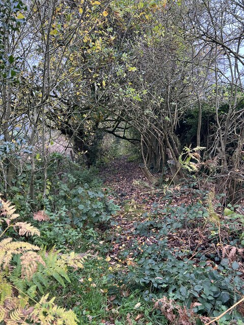
The village is known for its rural charm, with picturesque landscapes and a close-knit community. Bignall End is surrounded by beautiful countryside, making it an ideal location for nature lovers and outdoor enthusiasts. The area is characterized by rolling hills, green fields, and small woodlands.

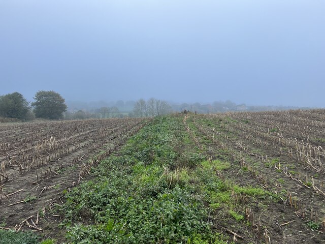
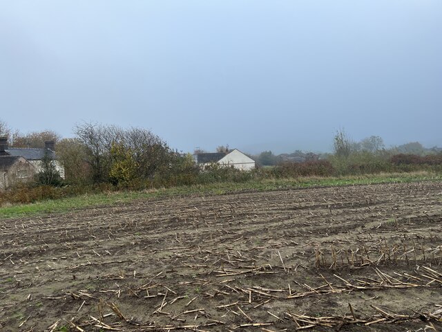
Historically, Bignall End was primarily an agricultural community, with farming playing a significant role in the local economy. However, as time passed, the village evolved and diversified its industries. Today, Bignall End is home to a mix of businesses, including small shops, cafes, and local services.

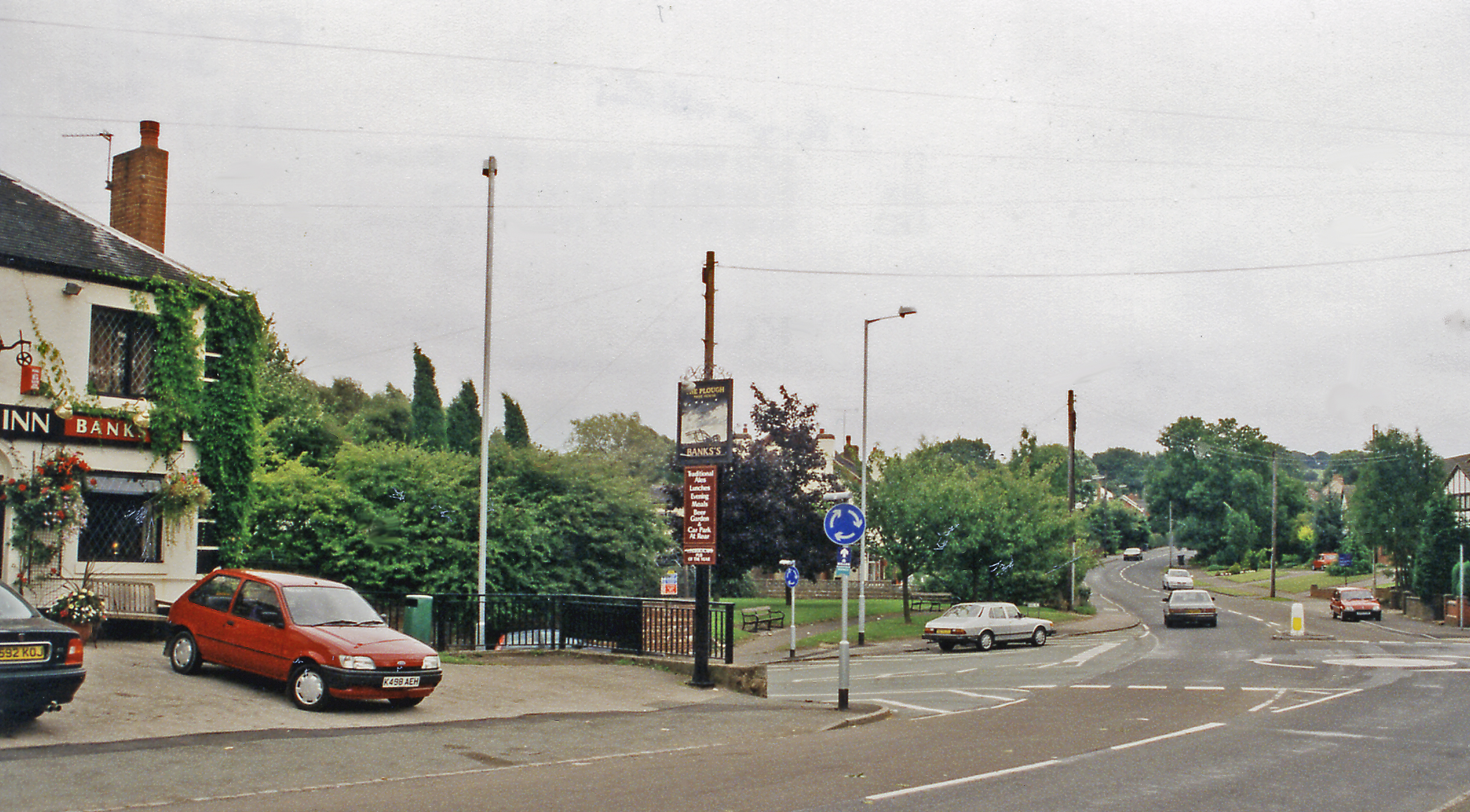
The village also offers a range of amenities to its residents. These include a primary school, a village hall, and a local pub. Bignall End has a strong sense of community spirit, with various social events and activities organized throughout the year.

For those seeking leisure activities, Bignall End is conveniently located near several attractions. Nearby, visitors can explore the historic Bignall Hill, a popular spot for walkers and hikers. Additionally, the village is within easy reach of Stoke-on-Trent, where visitors can enjoy cultural attractions such as museums, art galleries, and shopping centers.

In summary, Bignall End is a charming village in Staffordshire, offering a peaceful rural setting, a close-knit community, and easy access to nearby amenities and attractions.

If you have any feedback on the listing, please let us know in the comments section below.
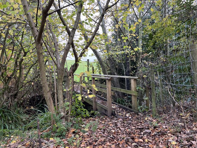
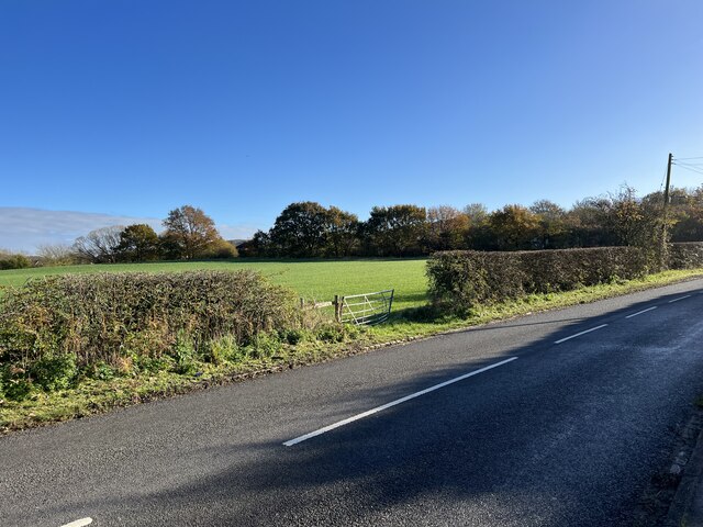
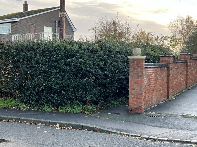
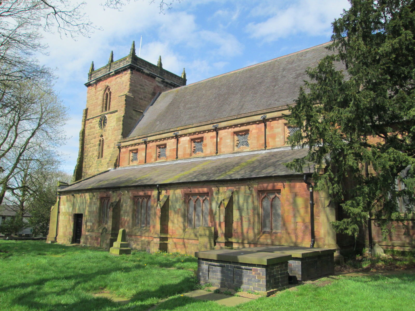
Bignall End Images

Images are sourced within 2km of 53.057053/-2.289423 or Grid Reference SJ8051. Thanks to Geograph Open Source API. All images are credited.

Car park behind community centre
Town Fields
Town Fields
Bridge over the Audley Branch Line Bridge over the North Staffordshire Railway (NSR) Audley branch line. 
The line was opened 1870 and closed in 1962.
Bridge over the Audley Branch Line
Bridge over the North Staffordshire Railway (NSR) Audley branch line. The line was opened 1870 and closed in 1962.
Bench seat on 'the Lines' 'The Lines' is the local term for the trackbed of the former Audley branch railway (closed 1963). It is not an official footpath but is regularly used by walkers, cyclists, dog-walkers, and schoolchildren going to and from Sir Thomas Boughey school in Halmer End.
Bench seat on 'the Lines'
'The Lines' is the local term for the trackbed of the former Audley branch railway (closed 1963). It is not an official footpath but is regularly used by walkers, cyclists, dog-walkers, and schoolchildren going to and from Sir Thomas Boughey school in Halmer End.
Audley Meadows from Wereton Road
Broken stile and footbridge Staffordshire County Council were notified that the bridge and stile on this public footpath had become almost impassable, and with commendable promptness rebuilt it much more sturdily, see <a href="https://www.geograph.org.uk/photo/7339980">SJ7949 : Rebuilt footbridge over brook</a>
Broken stile and footbridge
Staffordshire County Council were notified that the bridge and stile on this public footpath had become almost impassable, and with commendable promptness rebuilt it much more sturdily, see SJ7949 : Rebuilt footbridge over brook
Footpath through maize field
Maize stubble in November
Footpath through maize field
Stile in hedge on overgrown path
Little-used footpath to Halmer End
Rebuilt footbridge over brook Staffordshire County Council rebuilt the bridge much more sturdily after it had become impassable eight months before, see <a href="https://www.geograph.org.uk/photo/7338506">SJ7949 : Broken stile and footbridge</a>
Rebuilt footbridge over brook
Staffordshire County Council rebuilt the bridge much more sturdily after it had become impassable eight months before, see SJ7949 : Broken stile and footbridge
Rebuilt footbridge over brook By early spring 2021 this double-plank footbridge had become almost impassable, with one plank gone and the other seriously unstable due to bank erosion: in addition the stile at the further (field) end was broken - see <a href="https://www.geograph.org.uk/photo/7338506">SJ7949 : Broken stile and footbridge</a>

With commendable promptness Staffordshire County Council rebuilt it much more sturdily. See also a view of the other end from the field <a href="https://www.geograph.org.uk/photo/7339980">SJ7949 : Rebuilt footbridge over brook</a>
Rebuilt footbridge over brook
By early spring 2021 this double-plank footbridge had become almost impassable, with one plank gone and the other seriously unstable due to bank erosion: in addition the stile at the further (field) end was broken - see SJ7949 : Broken stile and footbridge With commendable promptness Staffordshire County Council rebuilt it much more sturdily. See also a view of the other end from the field SJ7949 : Rebuilt footbridge over brook
Gate into field on Wereton Road
Unsigned public footpath in Miles Green The narrow gap between the wall and the holly hedge is the west end of public footpath Audley 39, which leads from Station Road to Heathcote Road.
Unsigned public footpath in Miles Green
The narrow gap between the wall and the holly hedge is the west end of public footpath Audley 39, which leads from Station Road to Heathcote Road.
Goat paddock
Goat paddock
Show me another place!

Bignall End is located at Grid Ref: SJ8051 (Lat: 53.057053, Lng: -2.289423)

Administrative County: Staffordshire

District: Newcastle-under-Lyme

Police Authority: Staffordshire

What 3 Words

///snows.irrigated.chairs. Near Audley, Staffordshire

Nearby Locations

Bignall End

Related Wikis

Bignall End

Bignall End is a village in Staffordshire, England, near Junction 16 of the M6 motorway. == History == It is a part of the parish of Audley Rural, which...

Audley and Bignall End railway station

Audley and Bignall End railway station was a station on the North Staffordshire Railway, which operated in the West Midlands county of Staffordshire, in...

Diglake Colliery Disaster

The Diglake Colliery Disaster (also known as the Audley Colliery Disaster), was a coal-mining disaster at what was Audley Colliery in Bignall End, North...

Audley and Bignall End

Audley and Bignall End was a ward in the Borough of Newcastle-under-Lyme, in the county of Staffordshire, England. It covered the villages of Audley and...

Audley Urban District

Audley Urban District is a former administrative unit in Staffordshire created by the Local Government Act 1894. It contained the civil parish of Audley...

Audley, Staffordshire

Audley is a large village and former civil parish, now in the parish of Audley Rural, in the Newcastle-under-Lyme district, in Staffordshire, England....

Miles Green

Miles Green is a village in the civil parish of Audley Rural, in the Newcastle-under-Lyme district, in the county of Staffordshire, England and is about...

Bignall Hill

Bignall Hill, Staffordshire is a local landmark, and forms part of an escarpment ridge 4 miles (6.4 km) north-west of Newcastle-under-Lyme. It is classed...

Nearby Amenities

Located within 500m of 53.057053,-2.289423
Bus Stop
The Plough Inn PH
Bench: no
Bin: yes
Bus: yes
Naptan AtcoCode: 3800C511700
Naptan Bearing: SE
Naptan CommonName: The Plough Inn PH
Naptan Indicator: Adj
Naptan Landmark: The Plough Inn PH
Naptan PlusbusZoneRef: STOKEOT
Naptan Street: Ravens Ln
Naptan Verified: no
Public Transport: platform
Shelter: no
Source: naptan_import
Lat/Long: 53.0551668/-2.2846409
Bus Stop
The Plough Inn PH
Bus: yes
Naptan AtcoCode: 3800C511701
Naptan Bearing: NW
Naptan CommonName: The Plough Inn PH
Naptan Indicator: Opp
Naptan Landmark: The Plough Inn PH
Naptan PlusbusZoneRef: STOKEOT
Naptan Street: Ravens Ln
Naptan Verified: no
Public Transport: platform
Source: naptan_import
Lat/Long: 53.0549787/-2.2843562
Bus Stop
Boyles Hall Road
Bus: yes
Naptan AtcoCode: 3800C515401
Naptan Bearing: E
Naptan CommonName: Boyles Hall Road
Naptan Indicator: Opp
Naptan Landmark: Boyles Hall Road
Naptan PlusbusZoneRef: STOKEOT
Naptan Street: New Road
Naptan Verified: no
Public Transport: platform
Source: naptan_import
Lat/Long: 53.0560312/-2.2951355
Bus Stop
Boyles Hall Road
Bench: no
Bus: yes
Lit: no
Naptan AtcoCode: 3800C515402
Naptan Bearing: W
Naptan CommonName: Boyles Hall Road
Naptan Indicator: Adj
Naptan Landmark: Boyles Hall Road
Naptan PlusbusZoneRef: STOKEOT
Naptan Street: New Road
Naptan Verified: no
Public Transport: platform
Shelter: no
Source: naptan_import
Lat/Long: 53.0559405/-2.295478
Bus Stop
Chapel Street
Bus: yes
Naptan AtcoCode: 3800C515501
Naptan Bearing: E
Naptan CommonName: Chapel Street
Naptan Indicator: Adj
Naptan Landmark: Chapel Street
Naptan PlusbusZoneRef: STOKEOT
Naptan Street: New Road
Naptan Verified: no
Public Transport: platform
Shelter: yes
Source: naptan_import
Lat/Long: 53.0560694/-2.291935
Bus Stop
Diglake Street
Bench: no
Bin: no
Bus: yes
Lit: yes
Naptan AtcoCode: 3800C515502
Naptan Bearing: W
Naptan CommonName: Diglake Street
Naptan Indicator: Opp
Naptan Landmark: Diglake Street
Naptan PlusbusZoneRef: STOKEOT
Naptan Street: Ravens Lane
Naptan Verified: no
Public Transport: platform
Shelter: no
Source: naptan_import
Tactile Paving: no
Lat/Long: 53.0560685/-2.2909581
Bus Stop
Hope Street
Bench: no
Bin: yes
Bus: yes
Lit: no
Naptan AtcoCode: 3800C515601
Naptan Bearing: SE
Naptan CommonName: Hope Street
Naptan Indicator: Adj
Naptan Landmark: Hope Street
Naptan PlusbusZoneRef: STOKEOT
Naptan Street: Ravens Lane
Naptan Verified: no
Public Transport: platform
Shelter: no
Source: naptan_import
Tactile Paving: no
Lat/Long: 53.0557737/-2.286495
Bus Stop
Hope Street
Bench: no
Bin: no
Bus: yes
Lit: no
Naptan AtcoCode: 3800C515602
Naptan Bearing: NW
Naptan CommonName: Hope Street
Naptan Indicator: Opp
Naptan Landmark: Hope Street
Naptan PlusbusZoneRef: STOKEOT
Naptan Street: Ravens Lane
Naptan Verified: no
Public Transport: platform
Shelter: yes
Source: naptan_import
Tactile Paving: no
Lat/Long: 53.0557817/-2.2868979
Mini Roundabout
Direction: clockwise
Lat/Long: 53.054929/-2.2839235
Bignall End
Place: hamlet
Wikidata: Q4906996
Lat/Long: 53.0569593/-2.2883301
Turning Circle
Lat/Long: 53.0572665/-2.2966667
Odbl: clean
Lat/Long: 53.0590668/-2.2857988
Odbl: clean
Lat/Long: 53.059237/-2.2861679
Odbl: clean
Lat/Long: 53.0593814/-2.2866571
Odbl: clean
Lat/Long: 53.0594691/-2.287112
Odbl: clean
Lat/Long: 53.05966/-2.2876013
Odbl: clean
Lat/Long: 53.0599179/-2.2878073
Odbl: clean
Lat/Long: 53.0601964/-2.2881334
Odbl: clean
Lat/Long: 53.0612642/-2.2892921
Barrier: stile
Material: wood
Step Count: 1
Stile: stepover
Lat/Long: 53.0588759/-2.2909975
Barrier: stile
Material: wood
Step Count: 1
Stile: stepover
Lat/Long: 53.0594719/-2.2875132
Entrance: yes
Lat/Long: 53.0561308/-2.2952415
Entrance: yes
Lat/Long: 53.0565512/-2.2951889
Crossing
Crossing: marked
Crossing Island: no
Crossing Ref: zebra
Tactile Paving: yes
Lat/Long: 53.0566934/-2.2953016
Grit Bin
Colour: yellow
Material: plastic
Lat/Long: 53.0566498/-2.2952735
Hiking: yes
Information: guidepost
Material: wood
Tourism: information
Lat/Long: 53.0571254/-2.2947264
Waste Basket
Lat/Long: 53.058087/-2.2926396
Bench
Backrest: yes
Material: wood; metal
Lat/Long: 53.0582377/-2.2920147
Barrier: stile
Material: wood
Step Count: 1
Stile: stepover
Lat/Long: 53.0590166/-2.2894732
Hiking: yes
Information: guidepost
Material: wood
Tourism: information
Lat/Long: 53.0594459/-2.2875032
Audley and Bignall End
Abandoned Railway: station
Old Name: Audley
Railway: site
Wikidata: Q4820060
Wikipedia: en:Audley and Bignall End railway station
Lat/Long: 53.0558334/-2.2832196
Advertising: board
Lat/Long: 53.0580889/-2.2926964
Shop: convenience
Lat/Long: 53.0554074/-2.2857248
Pub
The Swan
Lat/Long: 53.0565157/-2.2931852
Crossing
Crossing: unmarked
Crossing Island: yes
Lat/Long: 53.0549267/-2.2837187
Barrier: bollard
Bollard: fixed
Material: concrete
Lat/Long: 53.0529852/-2.2884614
Waste Basket
Waste: dog_excrement
Lat/Long: 53.0530148/-2.2884185
The data included in this document is from www.openstreetmap.org. The data is made available under ODbL.

Have you been to Bignall End?

Leave your review of Bignall End below (or comments, questions and feedback).