Biglands
Settlement in Cumberland Allerdale
England
Biglands
Biglands is a small hamlet located in the county of Cumberland, in the northwest region of England. Situated in the Lake District National Park, it is surrounded by stunning natural beauty and picturesque landscapes. The hamlet is nestled between the towns of Windermere and Coniston, making it a popular destination for tourists looking to explore the area.
Biglands is known for its tranquil and idyllic setting, with rolling hills, lush green meadows, and breathtaking views of the surrounding mountains. The hamlet is surrounded by several small lakes, including Esthwaite Water and Coniston Water, which offer opportunities for boating, fishing, and other water activities.
The area is rich in history and has a strong connection to the literary world. It is said to have inspired many famous writers, including William Wordsworth and Beatrix Potter, who drew inspiration from the natural beauty of the landscape for their renowned works.
Despite its small size, Biglands has a close-knit community that values its rural heritage. The hamlet is home to a handful of traditional stone cottages and farmhouses, adding to its charm and character. There are also a few local businesses, including a small village shop and a cozy pub, where locals and visitors can enjoy a warm meal and a friendly atmosphere.
Overall, Biglands offers a serene and peaceful retreat for those seeking a break from the hustle and bustle of modern life. Its unspoiled natural beauty and rich cultural heritage make it a hidden gem in the heart of the Lake District.
If you have any feedback on the listing, please let us know in the comments section below.
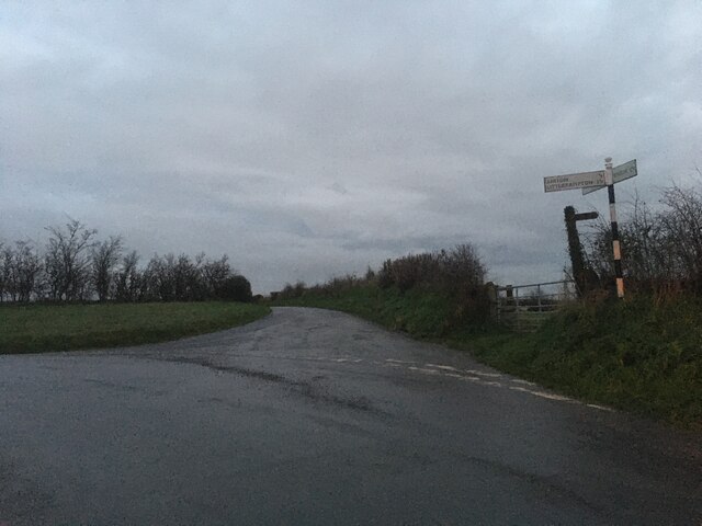
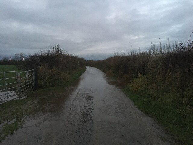
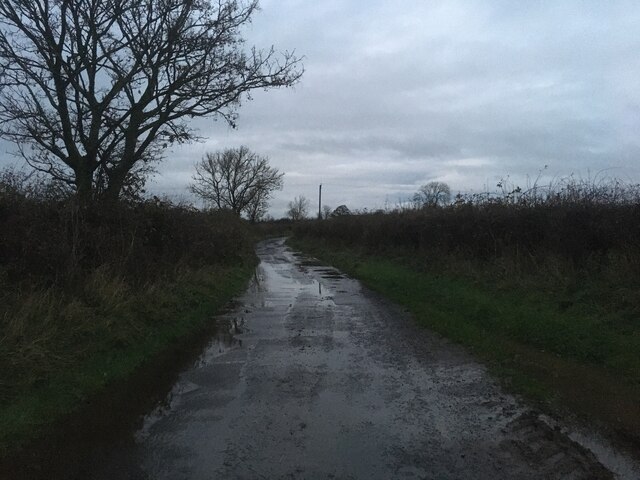
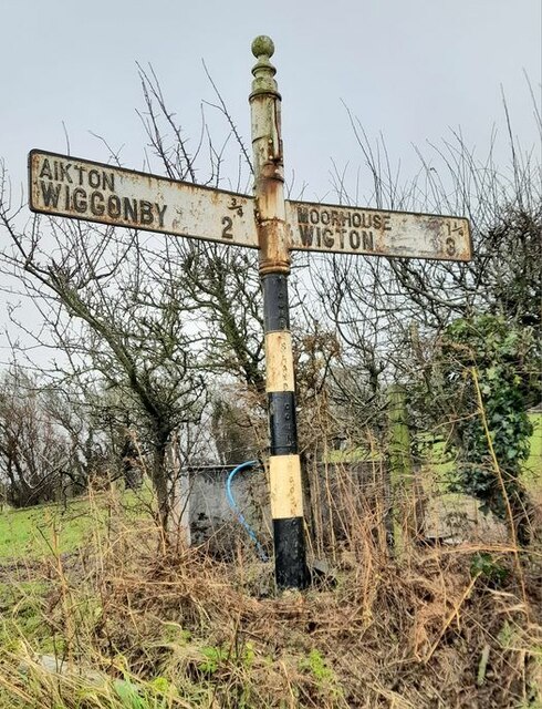
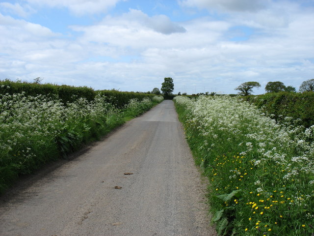
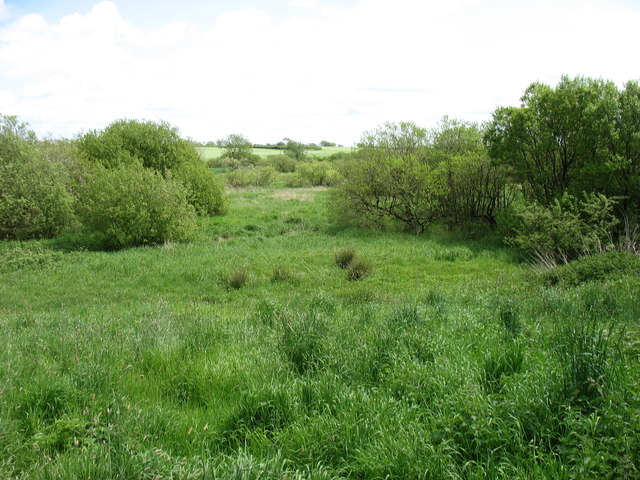
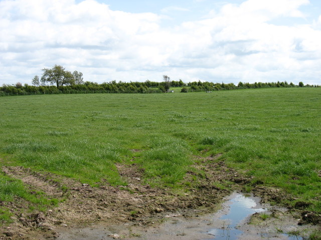
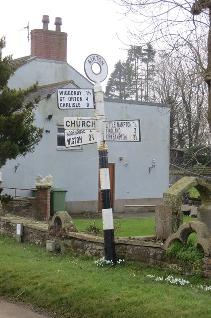
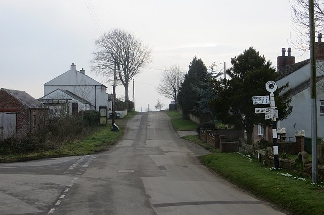
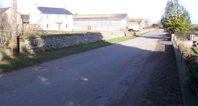
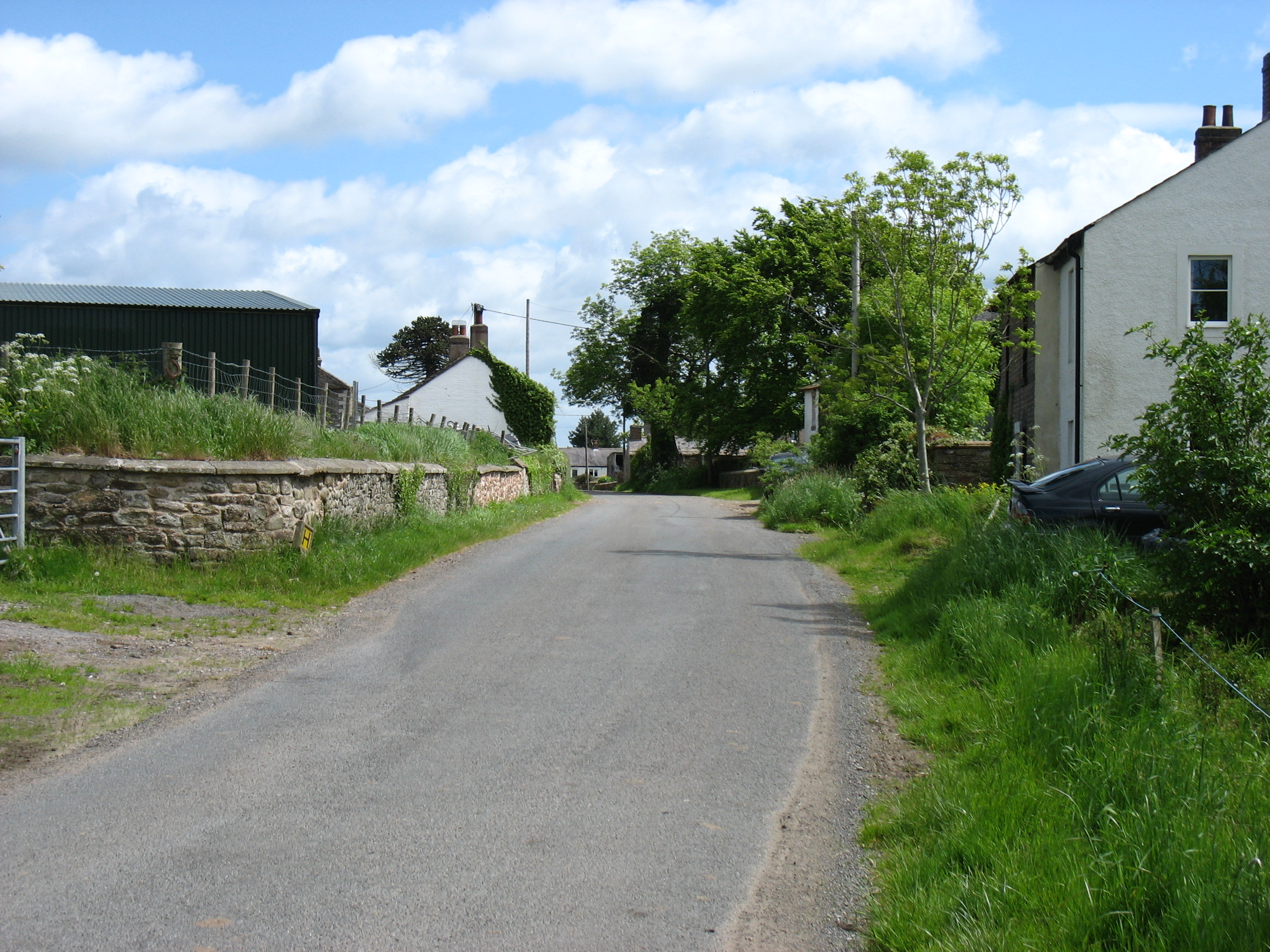
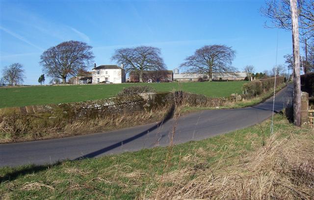
Biglands Images
Images are sourced within 2km of 54.868483/-3.161603 or Grid Reference NY2553. Thanks to Geograph Open Source API. All images are credited.


Biglands is located at Grid Ref: NY2553 (Lat: 54.868483, Lng: -3.161603)
Administrative County: Cumbria
District: Allerdale
Police Authority: Cumbria
What 3 Words
///cycle.exhaled.obstruct. Near Wigton, Cumbria
Nearby Locations
Related Wikis
Biglands
Biglands is a hamlet in Cumbria, England. It is located to the north of Gamelsby, and east of the River Wampool.It is not the location of Milefortlet 1...
Gamelsby
Gamelsby is a village near Aikton, Cumbria, England. It appears first in written records in 1305 as Gamelesby by Ayketon, and later as Gamelsby in 1332...

Aikton
Aikton is a small village in the north of the English county of Cumbria. The nearest town is Wigton 3 miles away, and the nearest city is Carlisle at 8...
Drumleaning
Drumleaning is a hamlet in Cumbria, England. It is located 4 miles south of Drumburgh on a low ridge near the Wampool. == References ==

Oulton, Cumbria
Oulton is a hamlet and former civil parish, now in the parish of Woodside, near the small town of Wigton, in the Allerdale district of the county of Cumbria...

St Andrew's Church, Aikton
St Andrew's Church stands near the village of Aikton, Cumbria, England. It is an active Anglican parish church in the deanery of Carlisle, the archdeaconry...

Little Bampton
Little Bampton is a village in Cumbria situated 6 miles outside the market town of Wigton and 8 miles west of Carlisle, England. The village comprises...

Studholme, Cumbria
Studholme is a hamlet in the English county of Cumbria. Studholme is located about a mile north-west of the village of Little Bampton. == External links... ==
Nearby Amenities
Located within 500m of 54.868483,-3.161603Have you been to Biglands?
Leave your review of Biglands below (or comments, questions and feedback).