Bigil

Settlement in Caernarfonshire

Wales

Bigil

WWII Defences of North Wales: Lake View Hotel, Llanberis -
Minefield: EDoB ID: e46184 

Concrete landmine sockets in the old road surface in the car park of the Lake View Hotel. I got some curious looks from patrons of the hotel photographing these!
WWII Defences of North Wales: Lake View Hotel, Llanberis Credit: Mike Searle

Bigil, Caernarfonshire is a small village located in the county of Caernarfonshire, Wales. Situated in the northern part of the country, it lies approximately 7 miles southeast of Caernarfon town. The village is nestled amidst picturesque countryside, offering breathtaking views of the surrounding Snowdonia National Park.

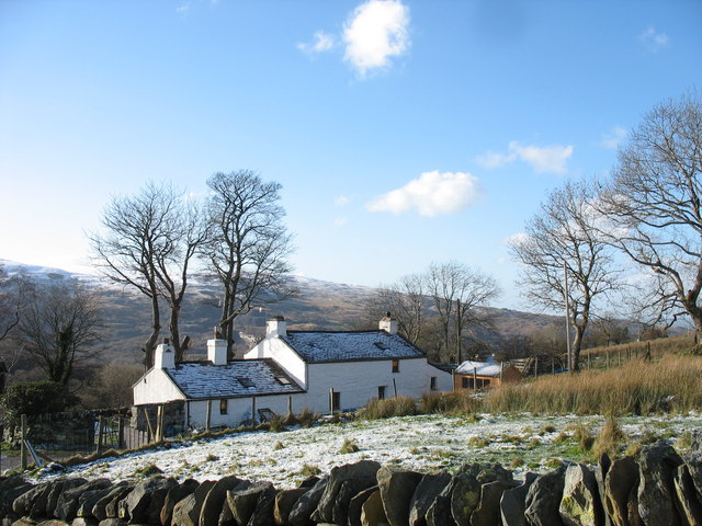
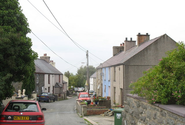
With a population of around 500 residents, Bigil retains a tranquil and close-knit community feel. The village is predominantly residential, characterized by traditional stone-built houses and cottages that add to its charm. The local architecture showcases the region's rich history and cultural heritage.

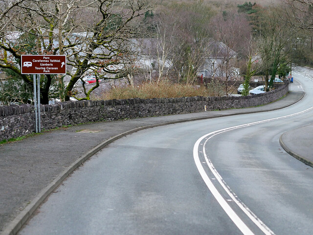
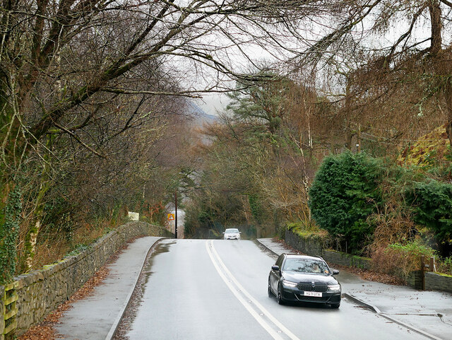
The village is well-connected by road, with the A487 running nearby, providing easy access to the neighboring towns and villages. Public transportation is limited, but there are regular bus services connecting Bigil to Caernarfon and other nearby towns.

Despite its small size, Bigil offers a range of amenities to its residents. A local pub, small shops, and a post office cater to the daily needs of the villagers. Outdoor enthusiasts can explore the surrounding countryside, with opportunities for hiking, cycling, and nature walks. The nearby coastline also provides access to beautiful beaches and water-based activities.

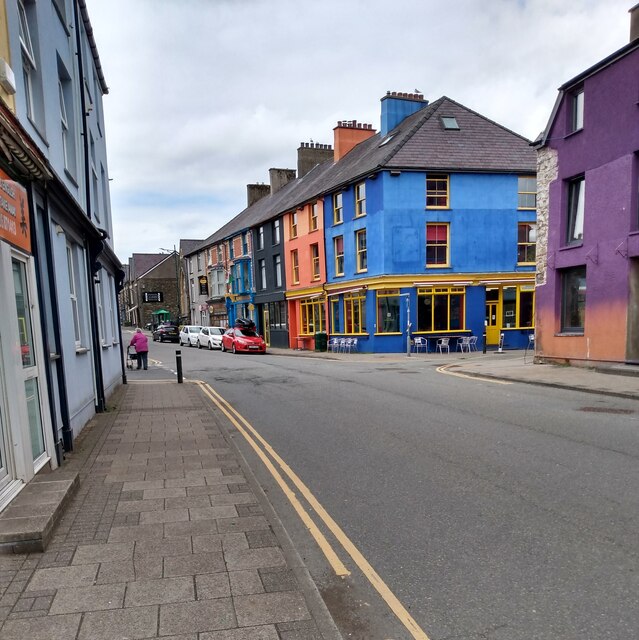
Bigil is known for its strong sense of community and holds various local events and festivals throughout the year, fostering a vibrant social atmosphere. The village also benefits from its proximity to Caernarfon, with its wider range of amenities, including schools, healthcare facilities, and shopping centers.

In summary, Bigil, Caernarfonshire is a picturesque village with a close-knit community, offering a peaceful and idyllic lifestyle amidst the stunning Welsh countryside.

If you have any feedback on the listing, please let us know in the comments section below.
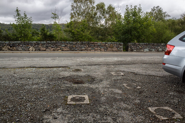
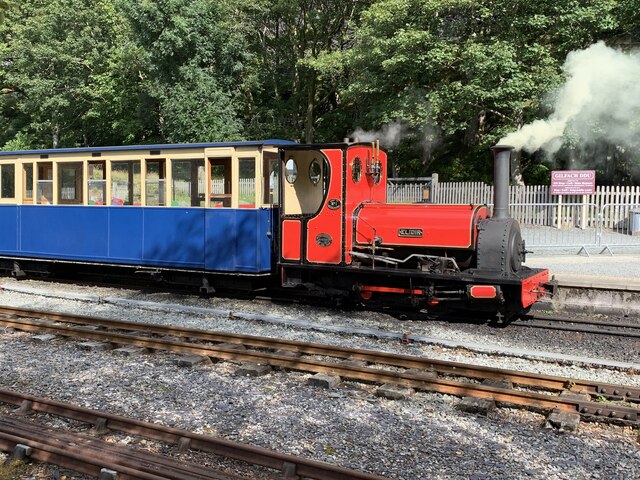
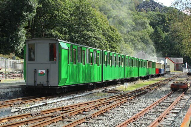
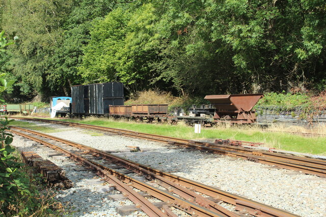
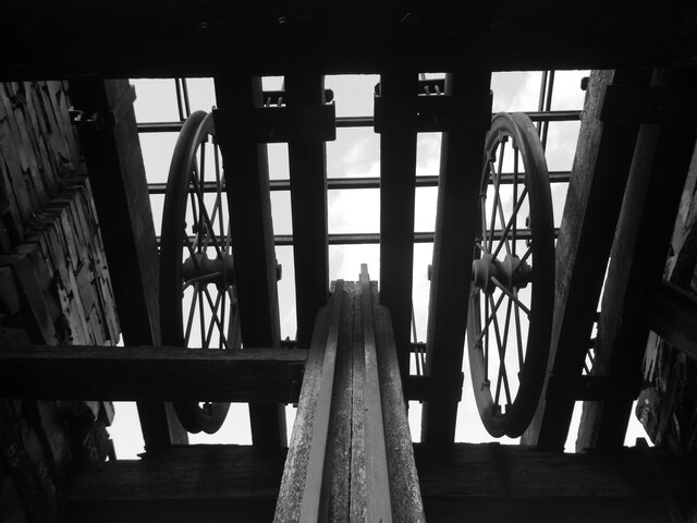
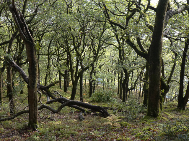
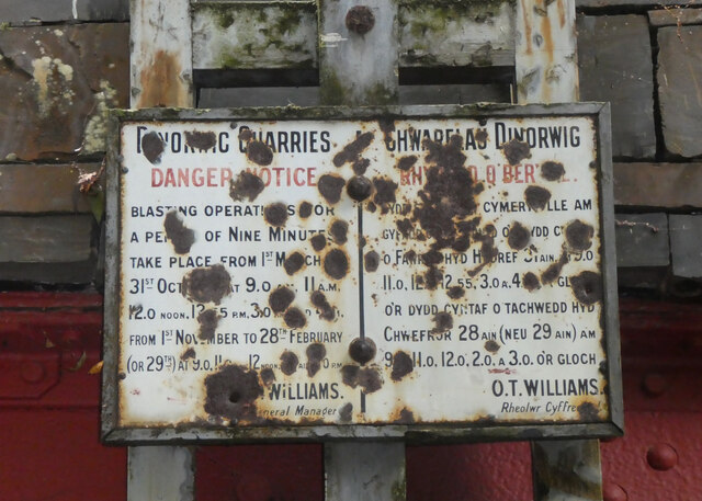
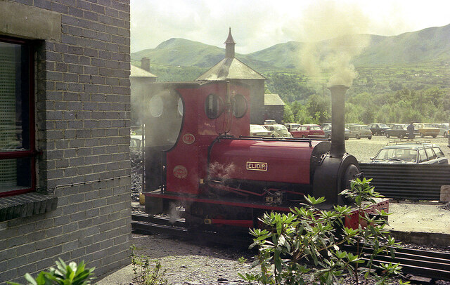
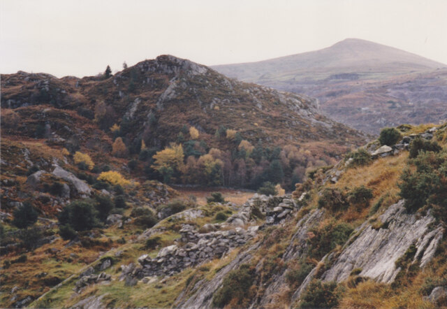
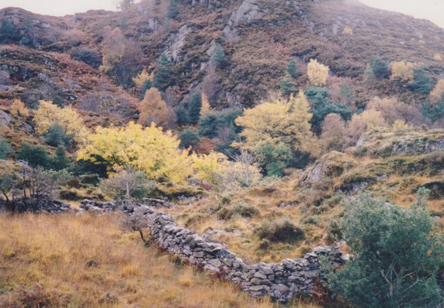
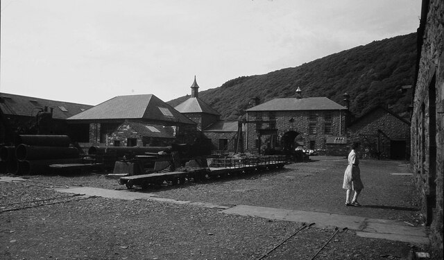
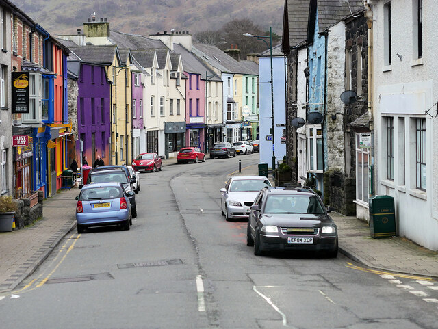
Bigil Images

Images are sourced within 2km of 53.137678/-4.125302 or Grid Reference SH5762. Thanks to Geograph Open Source API. All images are credited.

WWII Defences of North Wales: Lake View Hotel, Llanberis -
Minefield: EDoB ID: e46184 

Concrete landmine sockets in the old road surface in the car park of the Lake View Hotel. I got some curious looks from patrons of the hotel photographing these!
WWII Defences of North Wales: Lake View Hotel, Llanberis
- Minefield: EDoB ID: e46184 Concrete landmine sockets in the old road surface in the car park of the Lake View Hotel. I got some curious looks from patrons of the hotel photographing these!
Elidir at Gilfach Ddu Built 1889, Hunslet 0-4-0ST Elidir worked at Dinorwic Quarries as Red Damsel until transferred to the Llanberis Lake Railway at the end of 1969.
Elidir at Gilfach Ddu
Built 1889, Hunslet 0-4-0ST Elidir worked at Dinorwic Quarries as Red Damsel until transferred to the Llanberis Lake Railway at the end of 1969.
Llyn Padarn train at Gilfach Ddu
Rusty trucks and tracks At Gilfach Ddu station sidings.
Rusty trucks and tracks
At Gilfach Ddu station sidings.
Offer weindio Chwerel Dinorwig / Dinorwig Quarry winding gear
Coed Dinorwig
Coed Dinorwig
Chwarelau Dinorwig Rhybudd o Berygl / Dinorwig Quarries Danger Notice
Elidir at Gilfach Ddu Standing by the National Slate Museum, by the Llanberis Lake Railway.
Elidir at Gilfach Ddu
Standing by the National Slate Museum, by the Llanberis Lake Railway.
Sunset from above the Marchlyn Road The Menai Strait can be seen in the distance.
Sunset from above the Marchlyn Road
The Menai Strait can be seen in the distance.
Craig Llew from the Clegyr Path These are some of the oldest rocks in Wales. Moel Eilio forms the background.
Craig Llew from the Clegyr Path
These are some of the oldest rocks in Wales. Moel Eilio forms the background.
Wooded wetland below Craig Llew The walls are  the work of early 18thC quarrymen-farmers who carved small holdings from the wastes. This dual economy remained a feature of the slate quarrying districts of Caernarvonshire until the 1960s/
Wooded wetland below Craig Llew
The walls are the work of early 18thC quarrymen-farmers who carved small holdings from the wastes. This dual economy remained a feature of the slate quarrying districts of Caernarvonshire until the 1960s/
National Slate Museum at Llanberis
Llanberis, Stryd Fawr (High Street)
Llanberis Lake Railway, Gilfach Ddu The original terminus of the railway, at Gilfach Ddu, is now a through station serving both the National Slate Museum and the nearby Dolbadarn Castle.
Llanberis Lake Railway, Gilfach Ddu
The original terminus of the railway, at Gilfach Ddu, is now a through station serving both the National Slate Museum and the nearby Dolbadarn Castle.
A4086 near Llanberis The A4086 runs for almost 18 miles between Caernarfon and Capel Curig. It is a popular tourist route as it passes through some of the most memorable and famous parts of Snowdonia including the Llanberis Pass.
A4086 near Llanberis
The A4086 runs for almost 18 miles between Caernarfon and Capel Curig. It is a popular tourist route as it passes through some of the most memorable and famous parts of Snowdonia including the Llanberis Pass.
A4086 towards Llanberis The A4086 runs for almost 18 miles between Caernarfon and Capel Curig. It is a popular tourist route as it passes through some of the most memorable and famous parts of Snowdonia including the Llanberis Pass.
A4086 towards Llanberis
The A4086 runs for almost 18 miles between Caernarfon and Capel Curig. It is a popular tourist route as it passes through some of the most memorable and famous parts of Snowdonia including the Llanberis Pass.
Llanberis High Street This is a most colourful part of the street.
Llanberis High Street
This is a most colourful part of the street.
Lakeside Path Alongside Lake Padarn
Lakeside Path
Alongside Lake Padarn
Show me another place!

Bigil is located at Grid Ref: SH5762 (Lat: 53.137678, Lng: -4.125302)

Unitary Authority: Gwynedd

Police Authority: North Wales

What 3 Words

///clarifies.choppy.bookshelf. Near Deiniolen, Gwynedd

Related Wikis

Cae Mabon

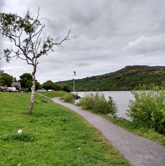
Cae Mabon is a retreat centre in North Wales, set in an oak forest close to the disused Dinorwic Quarry and on the opposite side of the Padarn lake from...

Dinorwig

Dinorwig, sometimes spelled Dinorwic ( din-OR-wig; ; Welsh: [dɪˈnɔrwɪɡ]), is a village located high above Llyn Padarn, near Llanberis, in Wales. The name...

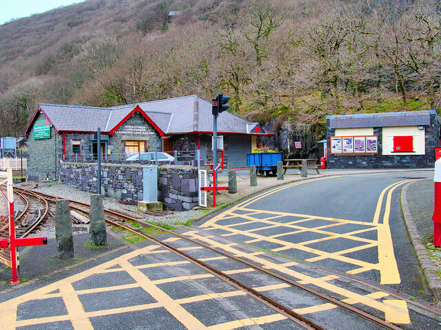
Cei Llydan railway station

Cei Llydan is an intermediate railway station on the Llanberis Lake Railway (LLR), located in Llanberis, Gwynedd, Wales.Most of the LLR was laid around...

Clwt-y-bont

Clwt-y-bont is a village in Gwynedd, Wales, lying just to the south of Deiniolen. The two villages form one urban unit. Both were built in the early 19th...

Nearby Amenities

Located within 500m of 53.137678,-4.125302
Man Made: mast
Lat/Long: 53.1371183/-4.129276
Barrier: kissing_gate
Source: survey;gps
Lat/Long: 53.141237/-4.1219564
Power: pole
Lat/Long: 53.1396555/-4.1248261
Power: pole
Lat/Long: 53.1415862/-4.1247832
Power: pole
Lat/Long: 53.14111/-4.1246115
Power: pole
Lat/Long: 53.1418919/-4.125281
Power: pole
Lat/Long: 53.1392565/-4.1247832
Power: pole
Lat/Long: 53.1402733/-4.1246545
Pen Y Bigil
Ele: 327
Natural: peak
Wikidata: Q106709972
Lat/Long: 53.137115/-4.1301629
Barrier: kissing_gate
Lat/Long: 53.1401122/-4.1280604
The data included in this document is from www.openstreetmap.org. The data is made available under ODbL.

Have you been to Bigil?

Leave your review of Bigil below (or comments, questions and feedback).