Orby
Settlement in Lincolnshire East Lindsey
England
Orby
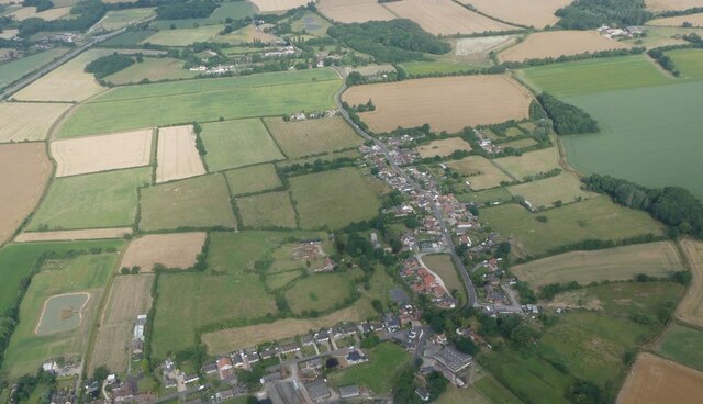
Orby is a small village located in the East Lindsey district of Lincolnshire, England. Situated approximately 5 miles east of the town of Skegness, it lies close to the coast of the North Sea. With a population of just over 200 people, Orby is known for its idyllic rural setting and picturesque landscapes.
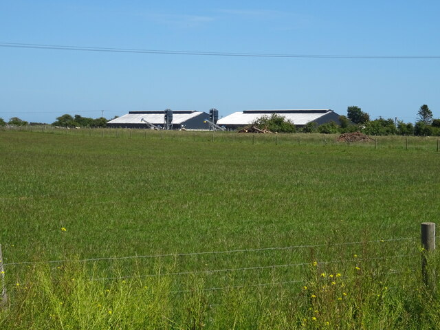
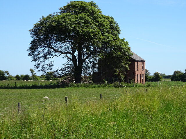
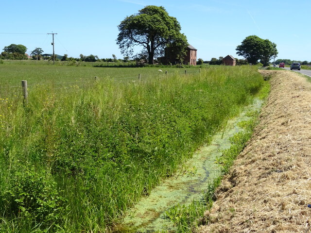
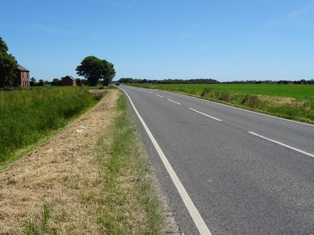
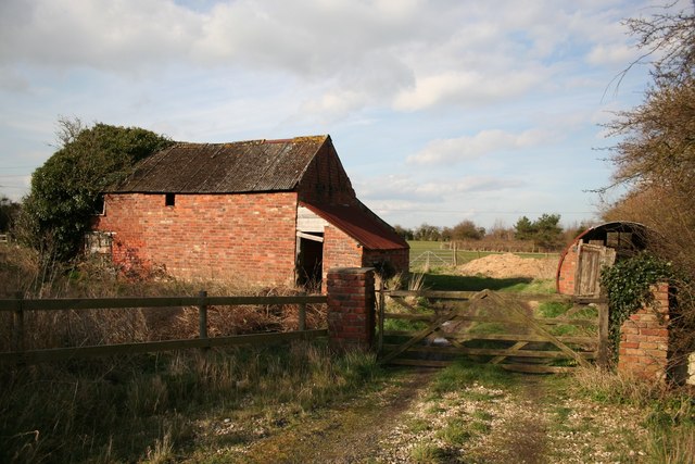
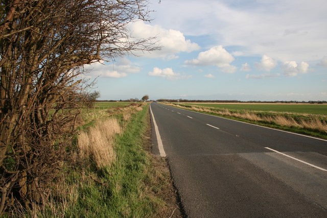
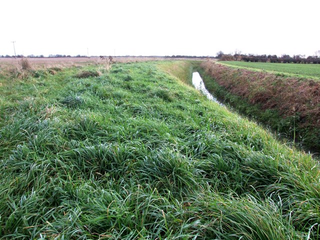
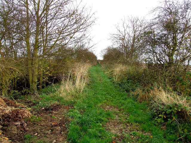
The village is characterized by its traditional English countryside charm, with a scattering of attractive cottages and farmhouses. The surrounding area is predominantly agricultural, with acres of farmland stretching out towards the horizon. This creates a serene and tranquil atmosphere, making Orby an ideal destination for those seeking a peaceful retreat from the hustle and bustle of city life.
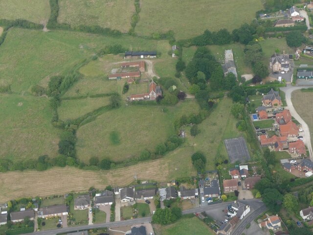
Despite its small size, Orby has a strong sense of community, and residents take pride in maintaining the village's beauty and heritage. The local church, St. Nicholas, stands as a prominent feature, dating back to the 13th century. It serves as a reminder of the village's long history and adds to its quaint charm.
For those interested in exploring the natural beauty of the area, Orby offers easy access to the Lincolnshire Wolds, an Area of Outstanding Natural Beauty. This rolling landscape boasts stunning views, walking trails, and opportunities for outdoor activities such as cycling and birdwatching.
Though Orby may be a quiet and unassuming village, its beauty and tranquility make it a hidden gem for those seeking a peaceful countryside escape in Lincolnshire.
If you have any feedback on the listing, please let us know in the comments section below.
Orby Images
Images are sourced within 2km of 53.181515/0.232061 or Grid Reference TF4967. Thanks to Geograph Open Source API. All images are credited.


Orby is located at Grid Ref: TF4967 (Lat: 53.181515, Lng: 0.232061)
Division: Parts of Lindsey
Administrative County: Lincolnshire
District: East Lindsey
Police Authority: Lincolnshire
What 3 Words
///defers.demanding.boot. Near Burgh le Marsh, Lincolnshire
Nearby Locations
Related Wikis

Orby
Orby is a village and civil parish in the East Lindsey district of Lincolnshire, England. It is situated approximately 9 miles (14 km) east from the town...

Burgh-le-Marsh railway station
Burgh-le-Marsh was a railway station on the East Lincolnshire Railway which served the town of Burgh le Marsh in Lincolnshire between 1848 and 1970. It...

Burgh Bypass
Burgh Bypass is a bypass of the town of Burgh Le Marsh near Skegness. It was passed in 2005 and construction began in September 2006 after a lengthy campaign...

Burgh le Marsh
Burgh le Marsh is a town and civil parish in the East Lindsey district of Lincolnshire, England. == Geography == The town is built on a low hill surrounded...

Welton le Marsh
Welton le Marsh (or Welton in the Marsh) is a village and civil parish in the East Lindsey district of Lincolnshire, England. It is situated approximately...

Dobson's Mill
Dobson's Mill was a working tower windmill for grinding wheat and corn. It stands in the High Street in the town of Burgh le Marsh, near Skegness in Lincolnshire...

Gunby Hall
Gunby Hall is a country house in Gunby, near Spilsby, in Lincolnshire, England, reached by a half mile long private drive. The Estate comprises the 42...

Bratoft
Bratoft is a small hamlet in the East Lindsey district of Lincolnshire, England. It is situated approximately 5 miles (8 km) east from Spilsby, 2 miles...
Nearby Amenities
Located within 500m of 53.181515,0.232061Have you been to Orby?
Leave your review of Orby below (or comments, questions and feedback).